|
Great Coum, G/NP-011 - 687m ASL - SD 700 835 - OS Explorer OL2 - 4 SOTA
points


Tuesday 8th October 2013 was not the first time I had set out to do the
pairing of Great Coum G/NP-011 and Whernside G/NP-004
from the Ingleton to Dent road that lies between them. But like all previous
attempts, I abandoned halfway through and didn't bother with Whernside. I
thought I would be OK for time with a 5am get-up and soup-making-session in
Macclesfield, but the car wasn't running as well as it should, and I had a
couple of road route finding difficulties near Ingleton, so lost a bit of time
there.
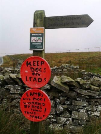
After parking in the entrance to the bridleway track SD723822, I set off for
Great Coum G/NP-011. On this day it should have been called Great Cwm for it was
mostly waterlogged - especially on the bridleway track below. As the track
reached the vicinity of SD706823, I spotted a trodden path following an angled
wire fence up to the ridge line. The fence was not marked on the map and I had
no recollection of this path, but I decided to have a bit of an adventure and
give it a go.
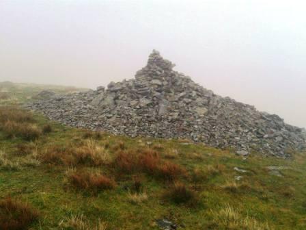
The going was tough at times on tussocky grass and bog, and then there were the
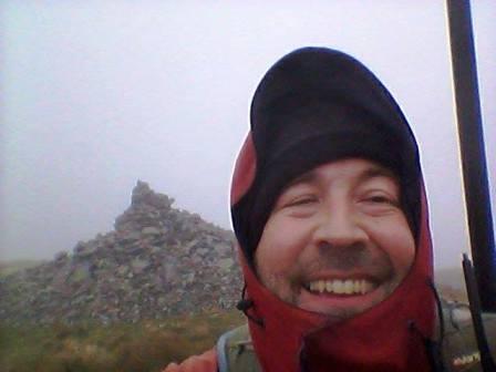
punishingly steep mini-ascents as well. But once at the large cairn above Gatty
Pike, it was easy level walking to the top. Or so it seemed. I got to the "top"
but didn't recognise it! After much wandering around and deliberating, I could
see (briefly when the mist cleared) that where the hill started going down, only
went down around 20 feet to a bit of a saddle before rising again. That would
explain the confusion, because an undulation of such small magnitude wouldn't be
represented on the OS 1:25000 sheet I was carrying. This took me back onto
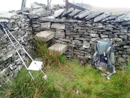
a steady ascent, and this time I found the wall junction that I remembered from
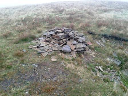
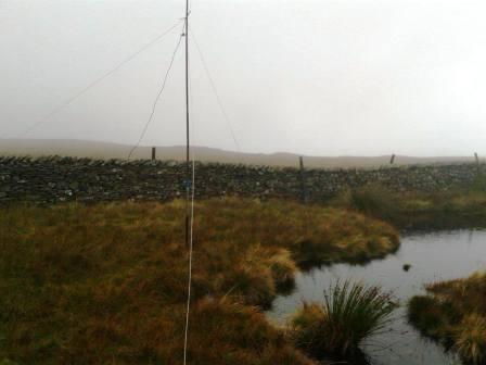
my last visit. First I toddled across to the summit cairn, then back to the wall
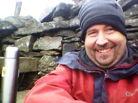
junction where the best shelter was for activating.
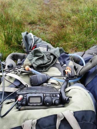
12m CW and SSB brought in 14 contacts after a slow start, and I still had hopes
of moving across the road to Whernside G/NP-004.
Getting down the steep wet grassy slope to the track was taxing, and then
finding a way over the wall and barbed wire fence at the bottom was even more
challenging. Perhaps I descended the wrong way. There was now a longish
track walk back to the car, much of which was underwater. Deep water. It had
been mainly dry apart from a short patch of light drizzle, but there was a heck
of a lot of standing water. I reached the car at about 1.15pm and decided I
would be pushing it to try and squeeze Whernside in as well. So as before, I
scrapped it!
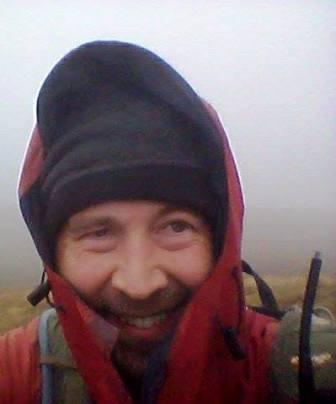
Instead I enjoyed the rest of my flask of Thai Green Curry soup in the car, and
drove back to Macclesfield. It had been a good little work out in the hills, and
I had enjoyed the challenge despite the lack of visibility and the evaporation
of available time.
|
UA3FO |
12m |
CW |
|
LZ1XZ |
12m |
CW |
|
HA7PO |
12m |
CW |
|
M6BLV |
12m |
CW |
|
YO2BP |
12m |
SSB |
|
G6LUZ |
12m |
SSB |
|
M6BLV |
12m |
SSB |
|
M0MDA |
12m |
SSB |
|
SV2OXS |
12m |
SSB |
|
CT3FT |
12m |
SSB |
|
G4ZRP |
12m |
SSB |
|
UU4JIM |
12m |
SSB |
|
G4ZRP |
12m |
CW |
|
G4OBK |
12m |
CW |
| 

.jpg)