.jpg)

|
|
|
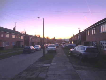
Route description & photos Start anywhere on Merebrook Road (SK11 8RH). Limited on-street parking available. Walk to the top end of Merebrook Road and over onto Colville Road. Cross Chester Road onto Maxfield Close and walk to the end (behind St Luke's Church).
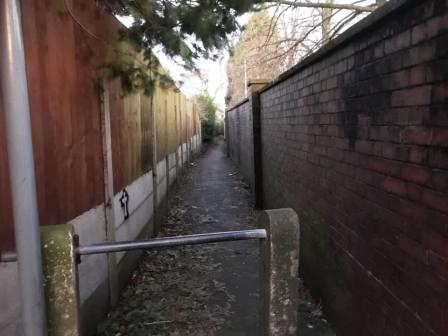
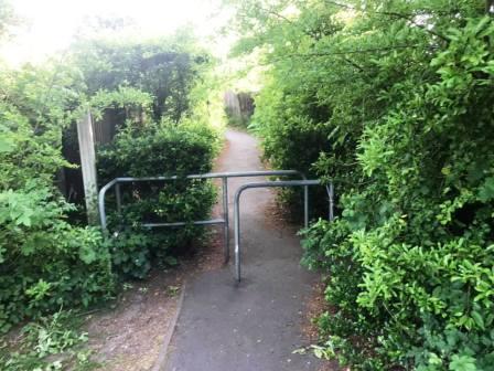
Turn left into a long narrow ginnel, following this out onto Dalesford Crescent. Bear right to walk towards Fallibroome Road, then right again, and left into Fallibroome Close. Enter another ginnel to walk through to Camborne Avenue on the Greenside Estate. At the end, turn left, then right and right again up a few steps. Turn left to follow a long greenway running between the backs of two rows of residential houses.
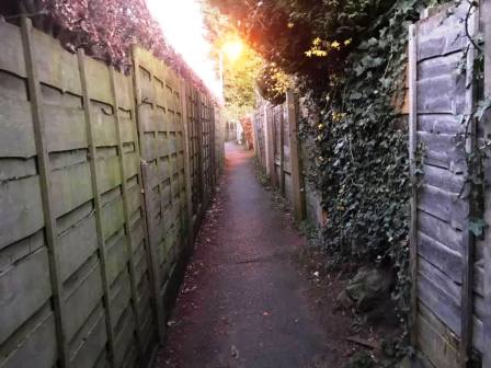
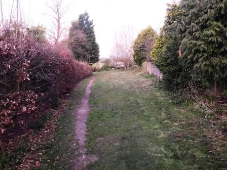
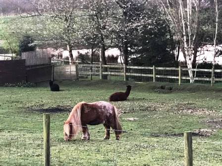
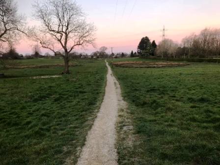
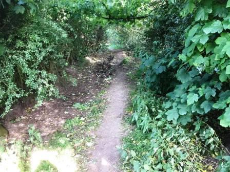
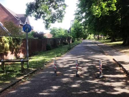
Continue straight on through more narrow ginnels, eventually emerging onto Newquay Drive. Continue onto Whirley Road, turning right to walk past a small farm on your left. Turn left through a kissing gate to walk along a straight footpath across the common land at Longmoss. Continue onto the path between two barbed wire fences. Turn right at the end and follow the path around a few corners onto a track.
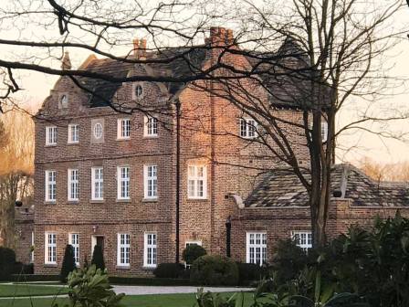
Continue on the track to the end, then turn right to walk up the road to the junction. Turn left to follow the short distance to Whirley Hall, then turn right into Wrigley Lane.
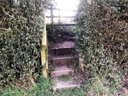
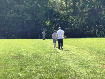
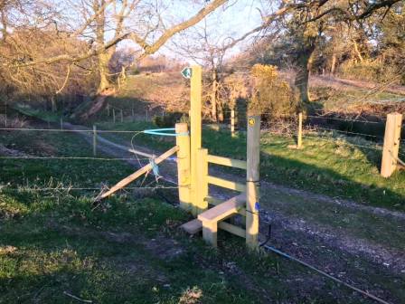
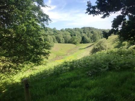
A short distance up this road, look out for a stile into a field on the left. At this point, cross the stile, and walk across the public footpath across the back of Whirley Hall estate towards a bluebell wood. Continue on the lovely path through the wood. emerging out onto lofty field with south-facing views at Highlees.
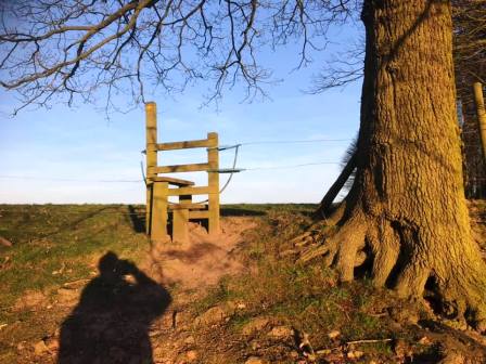
At the end of this field, bear left onto a well-defined track, following this a short distance to a stile, above you to the right.
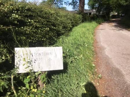
Cross the stile and follow the path around the right-hand boundary of the field. At the bottom, cross another stile and turn right onto a farm track. This leads out onto a country lane (Birtles Road), onto which you turn right. Walk a short distance along the lane then turn right into Cross Lane. Walk along this narrow road to a crossroads, continuing straight ahead onto the track to Fittontown Farm.
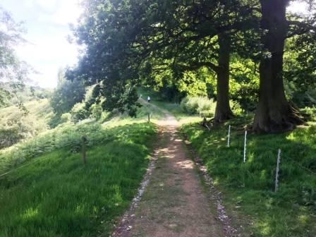
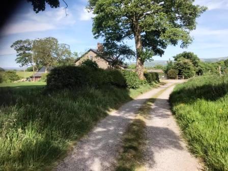
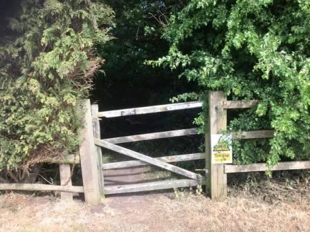
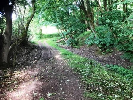
At Fittontown Farm, the track ends, but a very pleasant bridleway continues straight ahead through a gate.
This is a winding path through another bluebell wood, snaking gently downhill emerging onto the Macclesfield-Alderley road.
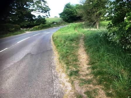
Turn right onto the road, and take care with passing traffic on blind bends. After a short distance, a path materialises on the right, giving more comfortable walking through a grass verge. This then becomes even more pleasant, passing on the other side of some trees to the roadside.
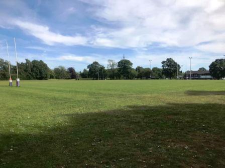
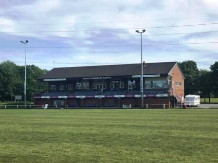
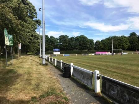
Shortly after some farm buildings and houses on the left, look out for an opening to a rough path on the right. This climbs up a steep muddy bank and enters into the back corner of Macclesfield Rugby Union Football Club. Bear right and walk beside a rugby pitch towards the main first-team pitch and grandstand. Turn left and walk around the main pitch towards the main vehicle entrance to the rugby club. Just past this is an open gate through which you can emerge onto Priory Lane. Please note that the paths through the rugby club are not public rights of way. This is private land owned by Macclesfield RUFC, and use of the paths is by kind permission of the rugby club.
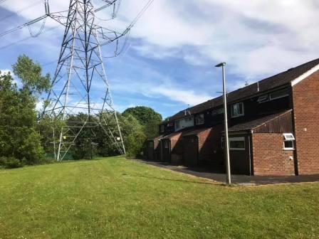
Cross over and walk towards the electricity pylon, behind a row of house on Upton Priory estate.
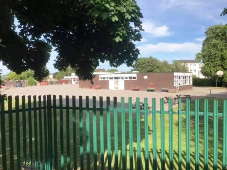
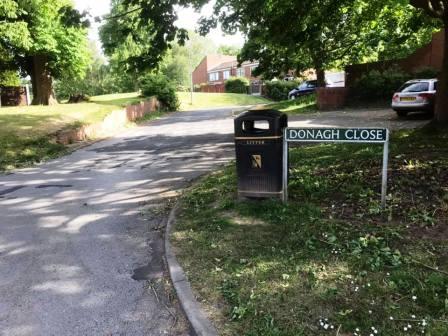
The path passes around the back of Upton Priory School and then continues through green spaces on the estate. Walk up Donagh Close, but again bear left to walk around the back of a row of houses.
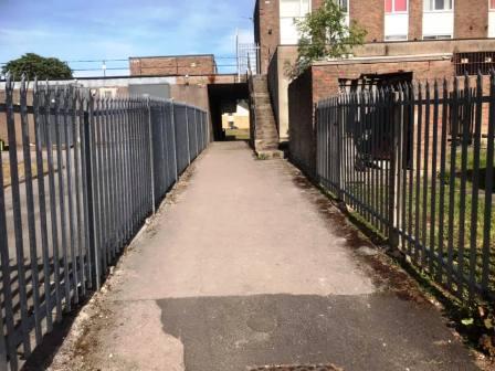
Head towards the shops which can now be seen ahead, crossing Beck Lane (path) in the process. Walk through the "tunnel" to the fronts of the shops and then over the car park to Kennedy Avenue.
Cross Kennedy Avenue to follow a footpath into another residential area. A series of paths and streets are then followed over this estate and past the East Cheshire Hospice.
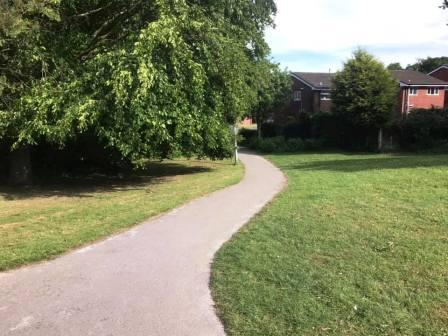
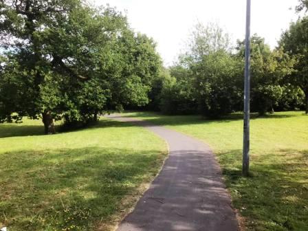
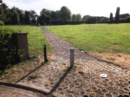
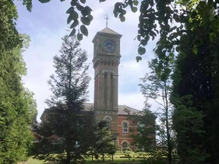
The residential area is left on a path across a green common towards Victoria Road. Cross that road to then walk across "The Villas", yet another residential area, on the site of the old Parkside Hospital. Pass to the left of the main building with the clock tower and pick up the cycle path over to Chester Road. Cross over into Ivy Road.
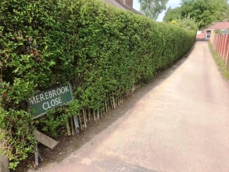
Walk along Ivy Road, and soon after, turn right into Merebrook Close (which is easily missed!).
Turn left at the top of Merebrook Close to follow the ginnel through to Merebrook Road, at which point the circular route is complete.
|
|
|