.jpg)

|
|
|
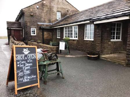
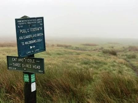
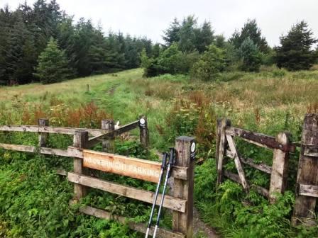
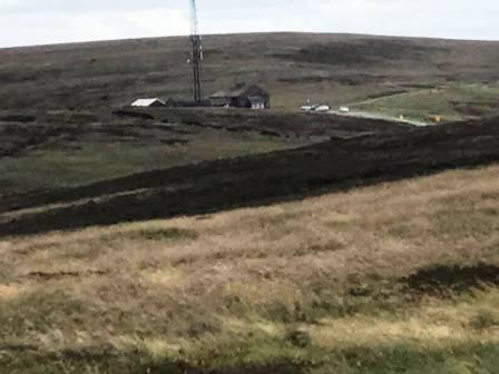
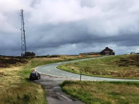
Route description & photos Start at the Cat & Fiddle pub on the main A537 Macclesfield to Buxton road (SK11 0AR). There is parking available on the opposite side of the road to the pub, or 200m back down the road at the start of the path to Shining Tor.
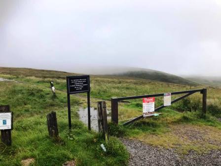
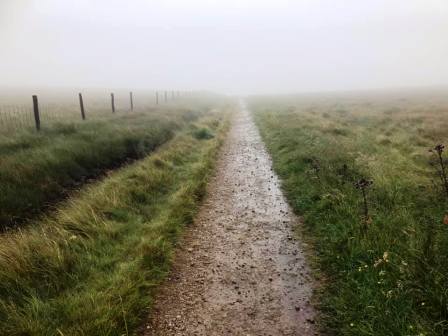
Cross the road to take the bridleway over the moor directly away from the Cat & Fiddle.
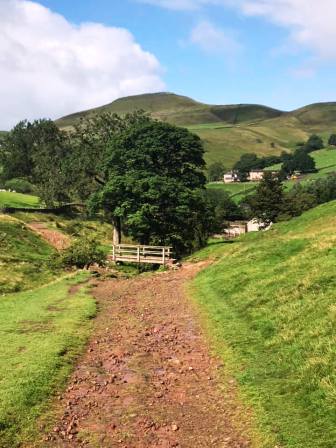
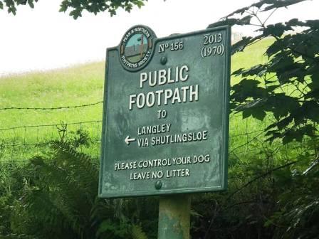
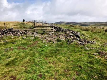
At the signpost, turn right to follow the path down into Danethorn Hollow.
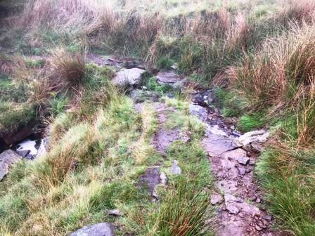
There are a few path options forking off around here, and most reunite again!
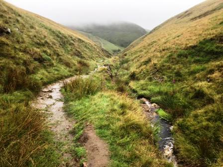
However, as a general rule, try to stick to the path that is directly beside the brook.
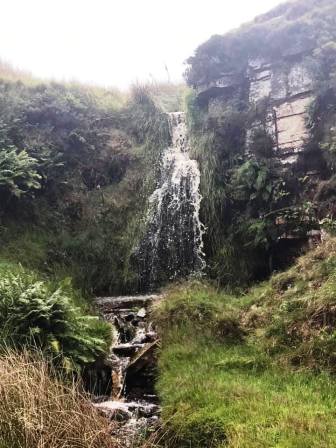
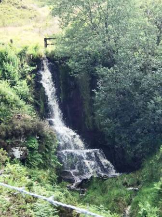
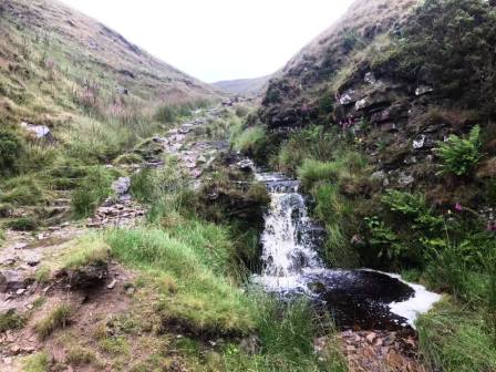
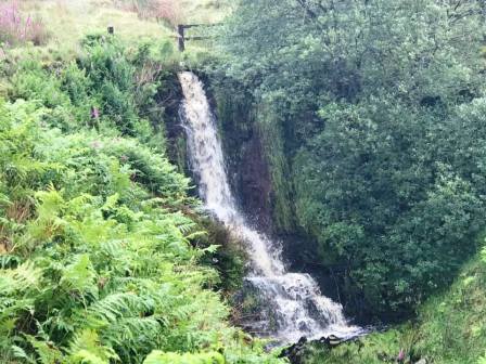
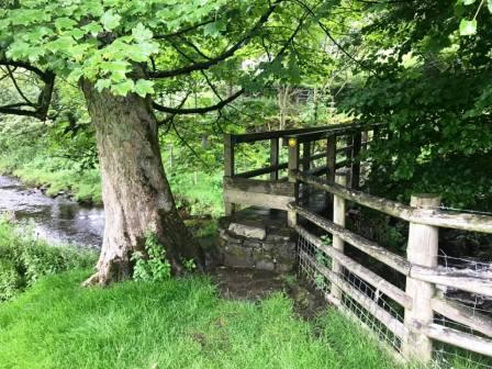
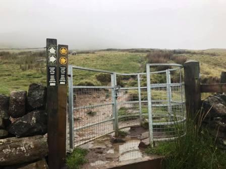
At the junction of paths, bear right to follow the track through the gate, passing a waterfall on your left.
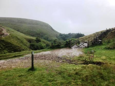
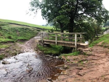
There is a nice spot for a lunch break just before the footbridge over Cumberland Brook.
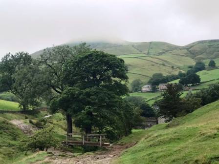
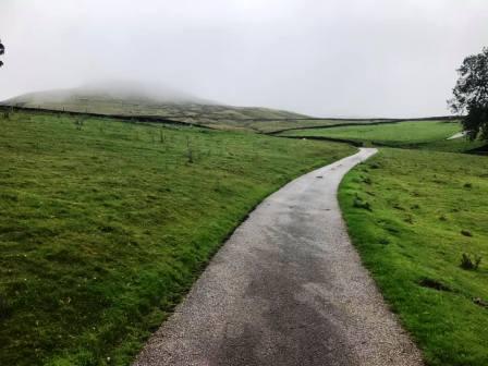
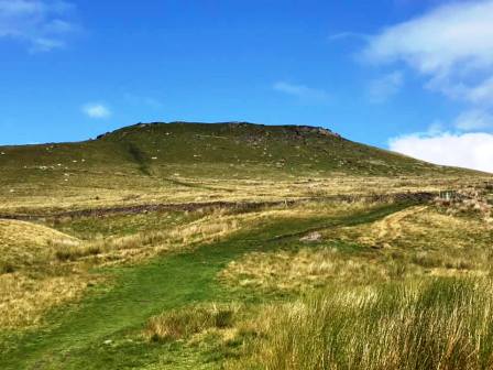
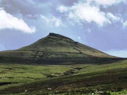
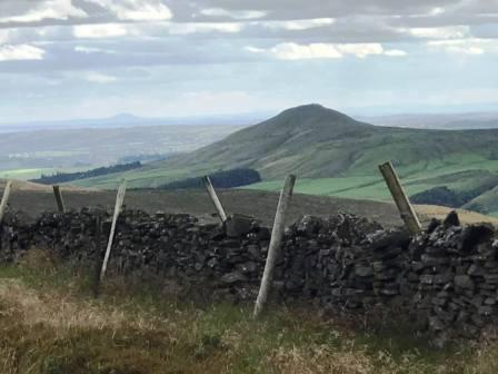
Continue down Cumberland Brook, and the summit of Shutlingsloe begins to loom high on the horizon ahead.
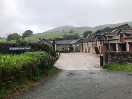
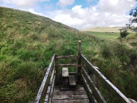
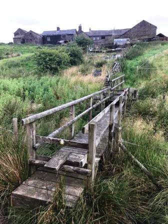
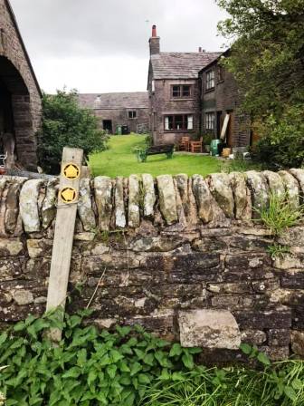
Cross the footbridge over the brook and continue down the path to Clough House. Pass through the farmyard and across the field to cross the wooden footbridge to the lane.
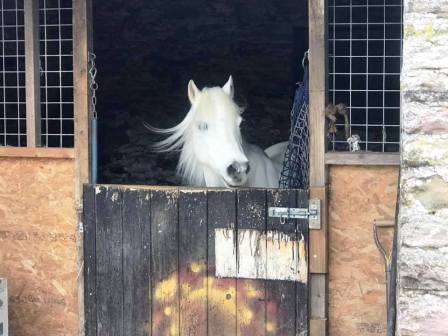
Pick up the public footpath directly over the lane and follow up to and beyond the house at Banktop. Double back on yourself onto the access track to Shutlingsloe Farm. As the track enters the farmyard, bear left to follow the public footpath up to Shutlingsloe.
You can bear left or right for the final approach, but both end up at the summit. Both are steep in places but the right option is probably more pleasant.
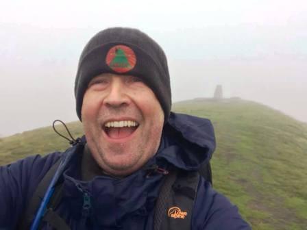
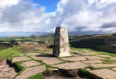
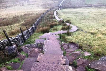
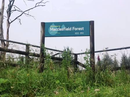
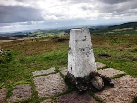
Stop for a rest or spot of lunch on the summit if required. Continue over the summit to join the steep flagged stairway down towards Macclesfield Forest.
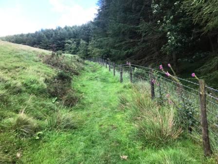
Bear right after passing through the wall to follow a rough path over towards the forest. There is some meshing to walk along but many of the sections are very boggy.
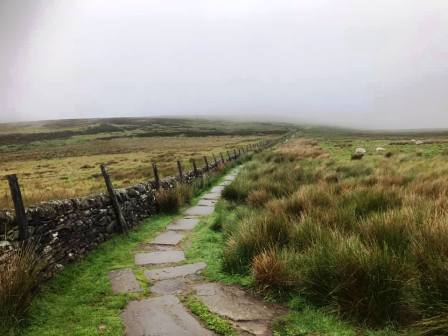
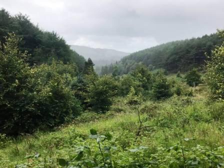
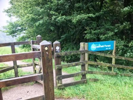
Enjoy the fine views over the forest and reservoirs on your left as you pass over a small rise then descend to join the main forest track.
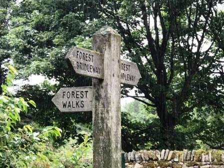
At Standing Stone, enter the car park and join the permissive path leading out from its back corner.
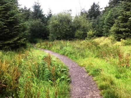
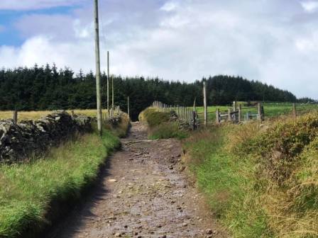
This is a lovely section of winding gravel path through the forest.
This is a very bendy path and you may often feel as though you're going in the wrong direction - have faith!
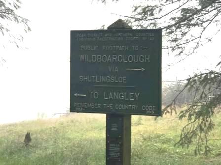
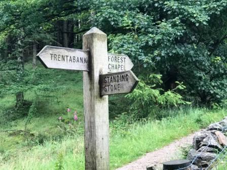
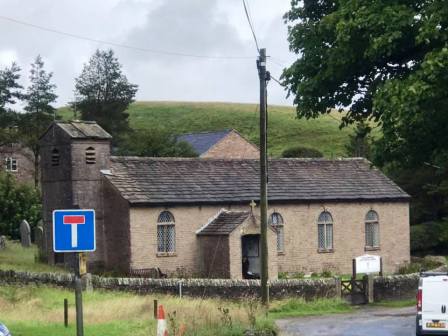
At the junction, follow the signpost for the path to Forest Chapel.
At Forest Chapel, turn left before the church onto a rough byway. This is Charity Lane, the other end of which is a proper tarmac road at Walker Barn.
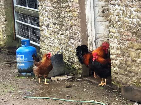
After only a short distance up the byway, take the public footpath to the right and follow up to the farm at Whitehills.
The PROW is not well signed through the yards at Whitehills, but emerges from a gate at the back of the property and heads down to a wooden footbridge.
The footpath on the other side of the footbridge is not at all distinct. Simply contour around the small hill and work your way towards the next farm at Greenways.
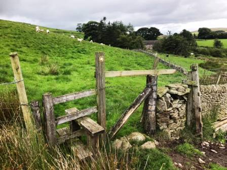
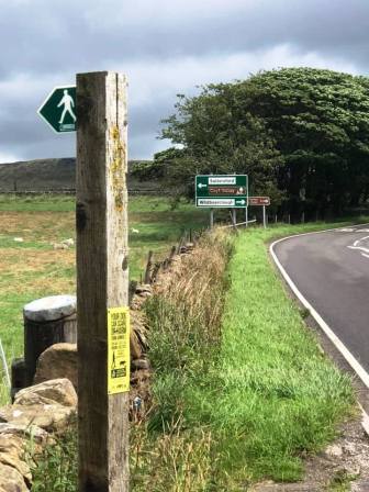
The public footpath enters the yard at Greenways via a wall stile then down the access track to the road. Cross over the road and straight onto another public footpath. Do this again when you reach the main A537 Macclesfield to Buxton road very shortly after.
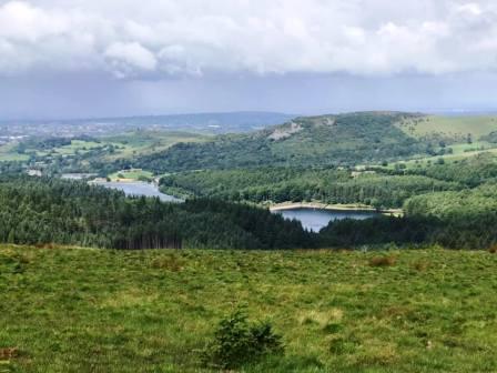
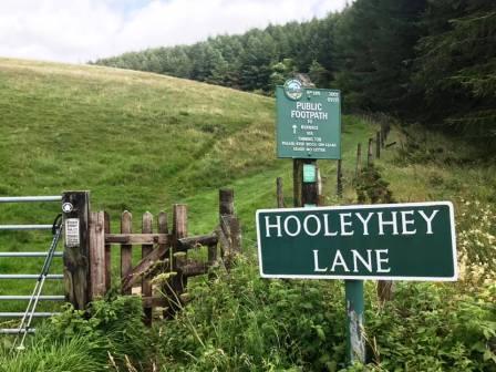
The path now joins the road down to Lamaload reservoir, which you walk down all the way until the reservoir is to your left. Look out for a public footpath leading off to your right by the Hooleyhey road sign.
Take that path up beside the wood and take the right fork as you leave the wood behind.
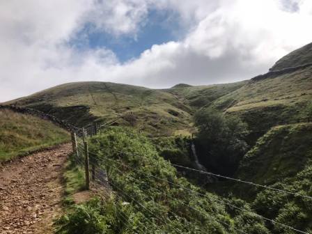
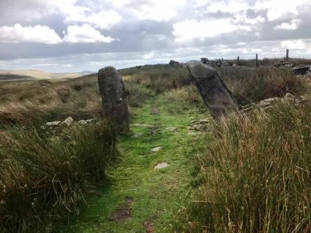
After a stiff climb, there is a pleasant kilometre or so of ridge walking to be enjoyed before the final climb to Shining Tor summit.
From Shining Tor, take the main path back down to the Cat & Fiddle. The route is complete.
|
|
|