.jpg)

|
|
|
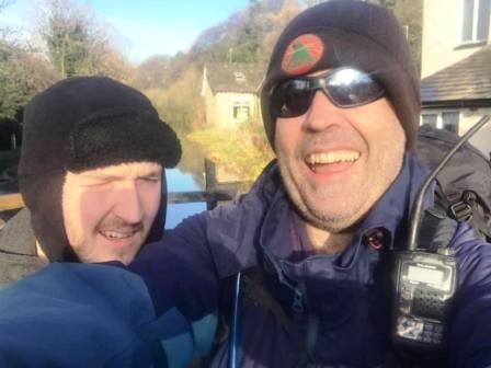
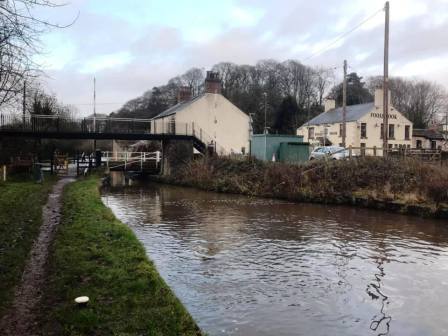
Route description & photos Park on the minor road on the west side of the A523 at Fools Nook. There is space for several cars at the roadside just after the canal swing bridge (SK11 0JF).
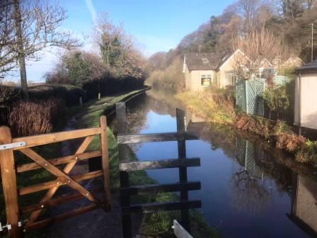
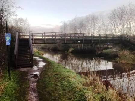
Start by walking on the canal towpath, north towards Macclesfield. Cross the first footbridge and the cross the A523 road.
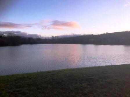
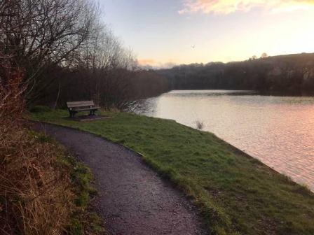
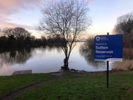
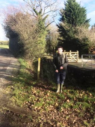
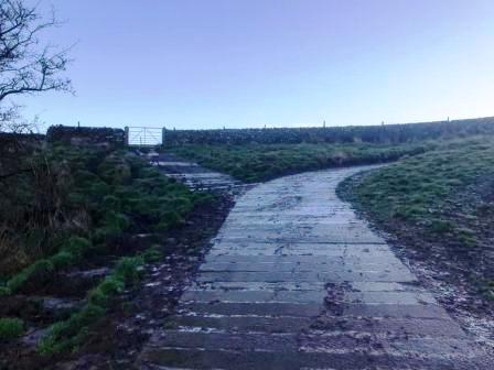
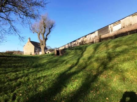
Enter the gate over the road into Sutton Reservoir. It is possible to walk around either side of the reservoir, but the path to the left is considerably better.
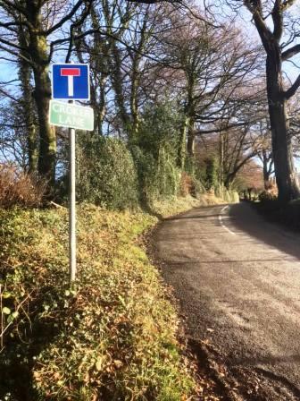
At the other side of the reservoir, exit onto Leek Old Road and turn right. Walk uphill along the road and then turn left into Croker Lane.
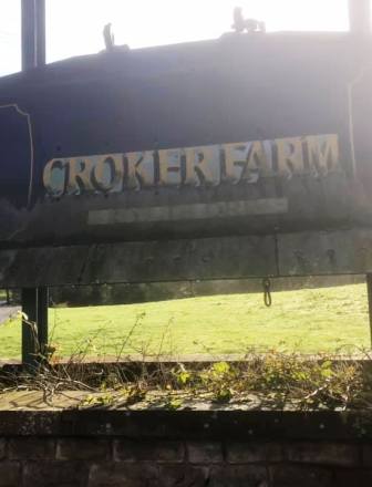
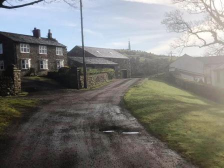
Follow this road (a byway) into Croker Farm.
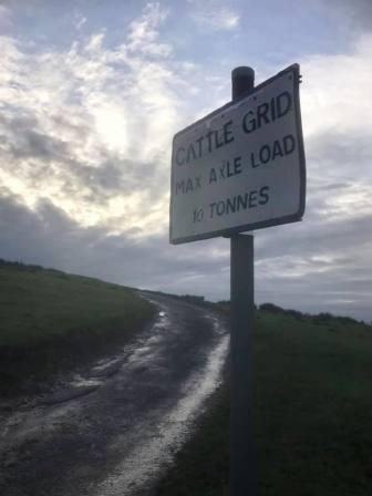
The road eventually becomes a track, some of it with a concrete service vehicle surface.
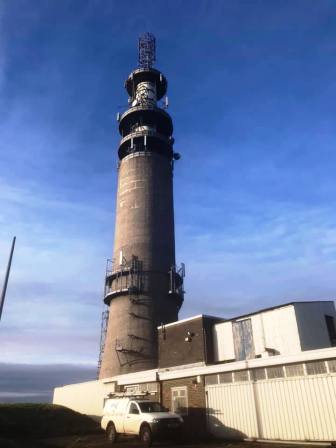
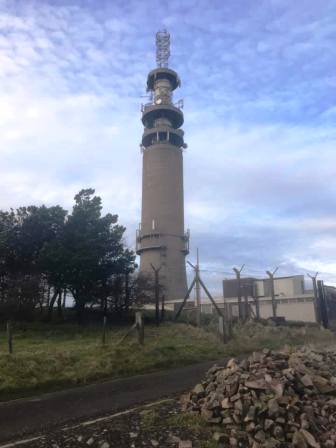
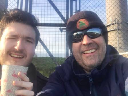
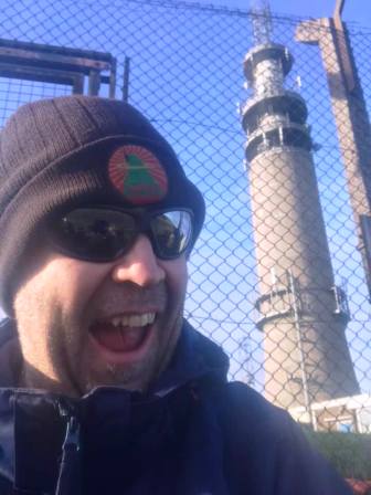
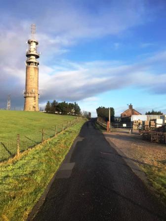
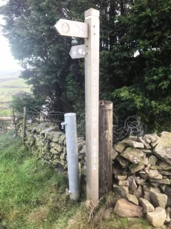
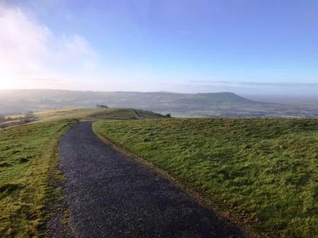
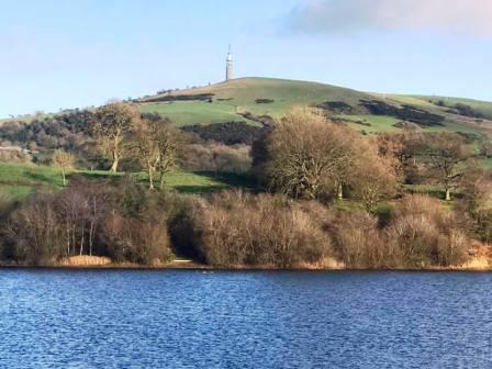
It weaves through Croker Farm and then Hanging Gate Farm before angling left to climb up to the ridge. On the ridge turn right to follow the Gritstone Trail route up to the telecommunications tower on Sutton Common.
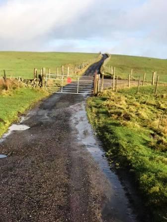
The Gritstone Trail turns left off Sutton Common beside a farmhouse. This can be taken, but to avoid the mud, continue along the Sutton Common service road down to the A54.
At the A54 Buxton to Congleton road, turn left and walk down to rejoin the Gritstone Trail.
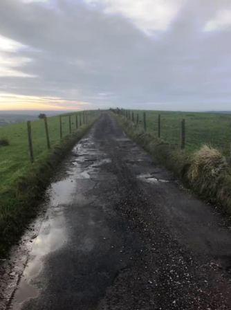
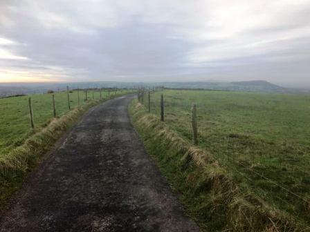
Turn right onto Minn End Lane, which is also the continuing route of the Gritstone Trail.
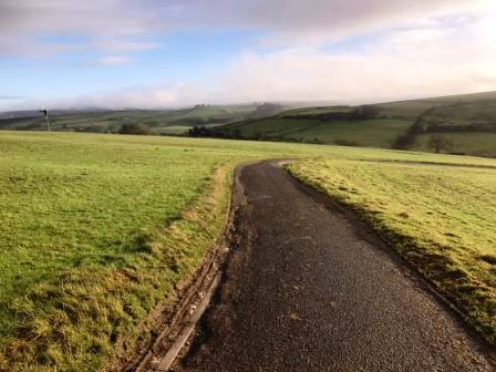
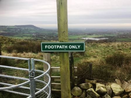
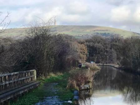
Follow this quiet lane right along Wincle Minn and enjoy the scenery in all directions. Bosley Cloud will be prominent to the right on a clear day.
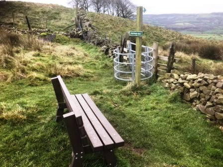
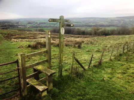
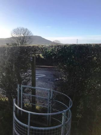
As the road begins to drop and swing left, look out for a bench on the right. From here, pass through the kissing gate and follow the path down the field to a stile and signpost.
Do not cross the stile, but turn right at the signpost to head downhill.
Don't be tempted to veer right, but keep on straight ahead to drop down to a gate. This section can be muddy and slippery.
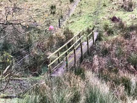
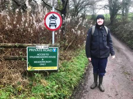
Continue dropping downhill towards Stilesmeadow Farm. A boggy stream is crossed by a wooden footbridge, but the area before it can be extremely boggy itself!
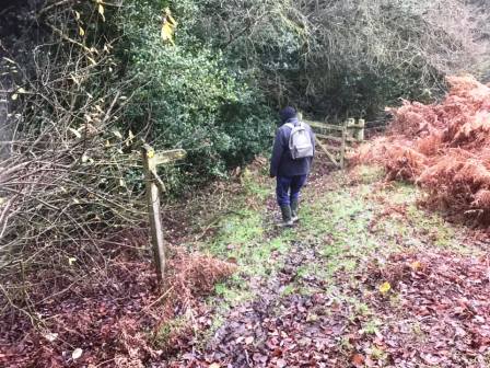
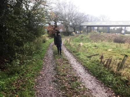
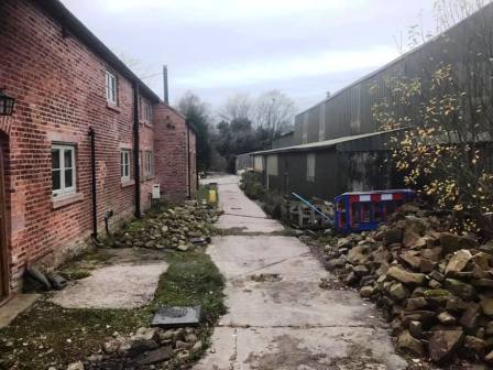
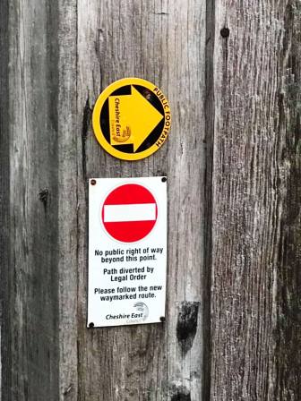
The path follows through Stilesmeadow Farm. Look out for a footpath diversion and signs showing the route out of the farmyard.
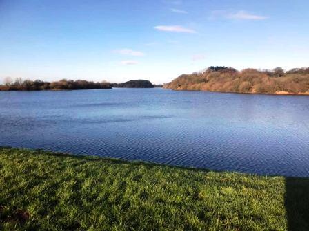
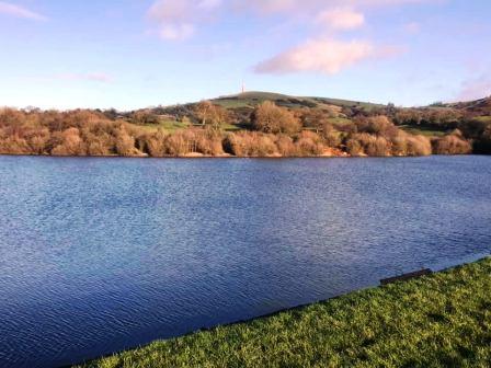
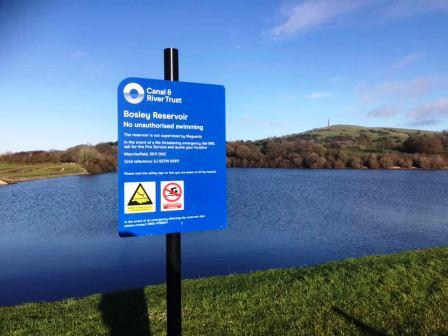
At the end of the road, turn right and walk up to Bosley Reservoir.
Turn left and walk across the dam at the south end of Bosley Reservoir.
The original route for this walk used the public footpath around the right hand side of Bosley Reservoir, but this becomes appallingly muddy and should be avoided!
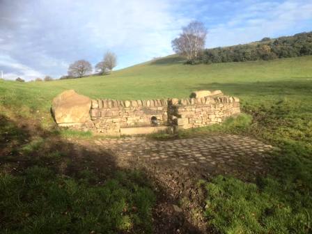
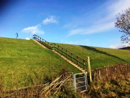
Take the steps down off the dam and follow the public footpath through Kiln Hill Farm.
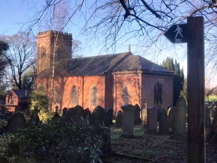
Exit through the kissing gate onto the A523 Leek to Macclesfield road. Turn rght and walk up to Bosley village.
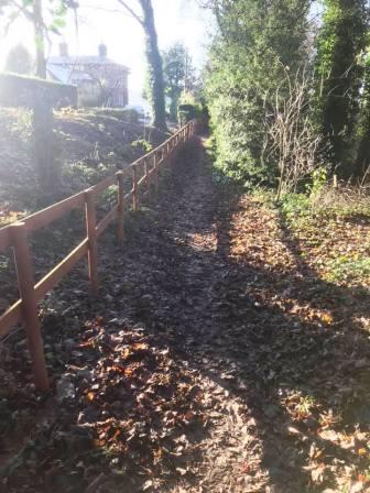
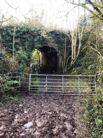
Turn left onto a public footpath just before St Mary's Church.
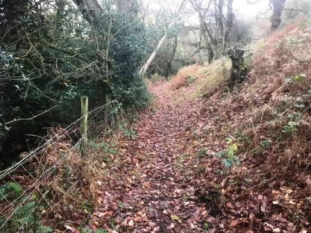
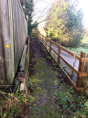
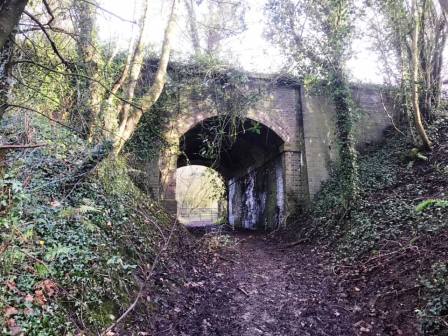
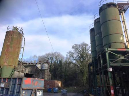
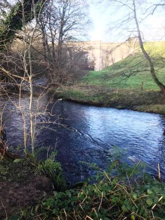
Follow the path down under a viaduct (disused railway) to emerge at some industrial works. Parts of this path can be very muddy.
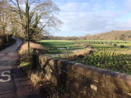
Continue onto the road and head a short distance in the direction of Bosley Cloud.
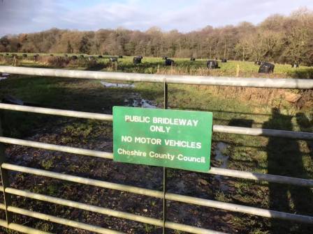
Turn right onto a public bridleway. Follow this up to the River Dane and continue towards the aqueduct.
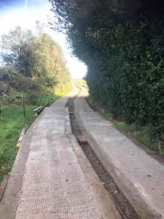
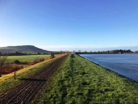
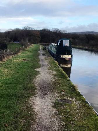
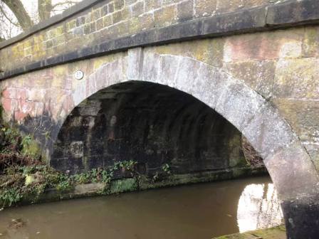
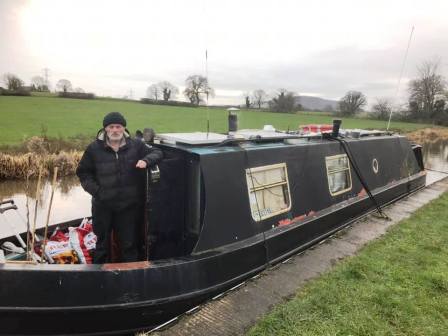
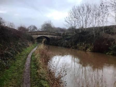
Join the Macclesfield Canal towpath and turn right to follow towards Macclesfield.
This towpath now leads all the way back to Fools Nook to complete the circular route.
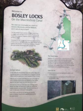
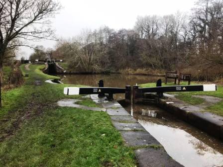
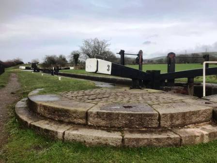
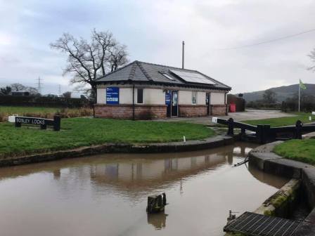
The full flight of twelve locks at Bosley are encountered. These allow the canal to climb a total of 36m.
Exit the canal at Fools Nook to complete the route.
|
|
|