.jpg)

|
|
|
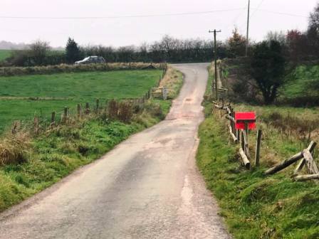
Route description & photos There is a bit of a layby on the side of Dial Lane besides the junction with Gosberryhole Lane (CW12 3QJ). Park here and set off walking along the main road in an easterly direction.
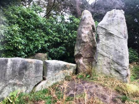
Turn left onto the public right of way which starts on a driveway but soon turns left into a field. Shortly you will pass the Bridestones, a chambered cairn from the neolithic period.
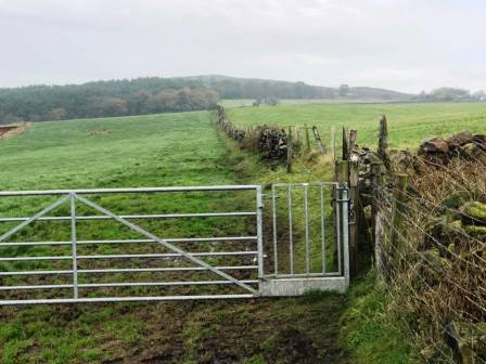
Bear right to continue along the public footpath as it gently rises to join the ridgeline towards Bosley Cloud.
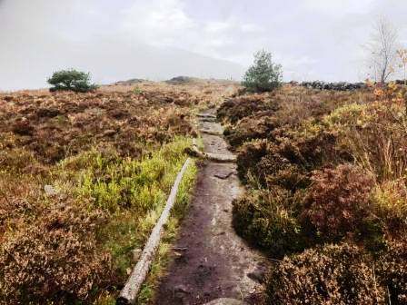
As you reach the back corner of the residence up there (Avona), the route bears slightly left and then right to climb a refurbished path up to Cloud summit.
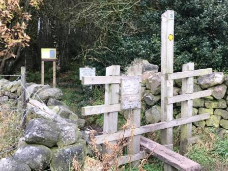
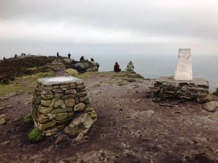
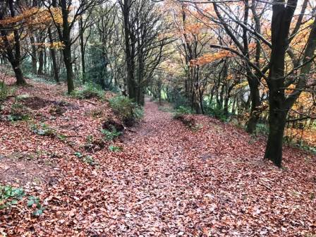
From the trig point, turn sharp left to follow a wide path down into the woods. This continues through a squeeze stile as it remains with the Gritstone Trail.
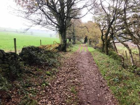
Look out for a ramp path to your left, dropping down to the main track - Gosberryhole Lane. This "lane" is not driveable by a normal vehicle for most of its length, and can be very muddy in places. Follow this all the way back to Dial Lane to complete the route.
|
|
|