.jpg)

|
|
|
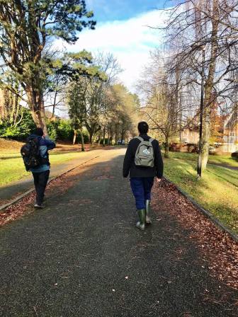
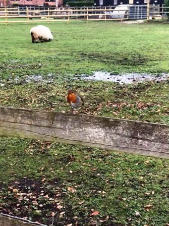
Route description & photos Start on Merebrook Road (SK11 8RH), or anywhere on the Weston! Walk onto Ivy Road and turn left towards Chester Road. Walk on the footpath / cycle path across The Villas estate to Victoria Road. Turn right onto Victoria Road then left onto Edinburgh Drive. Follow around to the right the turn left onto Linnet Grove. As this turns into Wren Close, look out for a ginnel path on the right. This leads out onto Prestbury Road.
Turn right, and then left into Bollinbrook Road. Follow this road into Westminster Road as far as Abbey Road. Part of this section can be done by cutting across the paths in the cemetery if preferred. Turn left into Abbey Road, and look out for the ramp path down into the Bollin Valley.
Cross the footbridge over the River Bollin then turn right to follow the path to Tytherington. At the main road, cross over, turn right, and then left onto a track / public footpath. As the Silk Road A523 looms up ahead, turn left the follow the public footpath parallel to the dual carriageway.
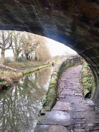
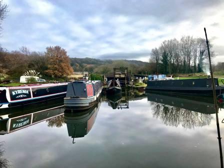
A big footbridge can be seen ahead, and this will be crossed when reached. Continue straight ahead on the path after the footbridge, leading shortly to the Macclesfield Canal.
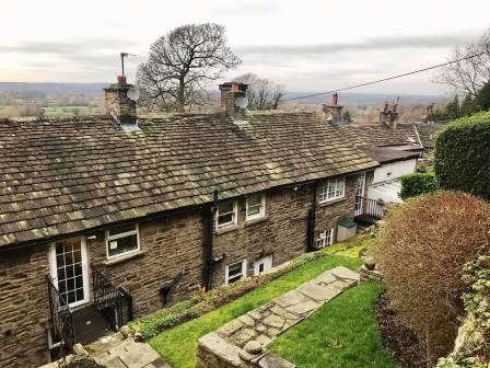
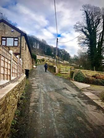
Follow the towpath in the direction of Bollington. As Adelphi Mill appears on the left hand side of the canal up ahead, look for a bridge to exit the towpath just before the mill is reached. The footpath leads across Dawson Farm to Kerridge. Turn right onto the road and then left onto a smaller road heading uphill past some residences.
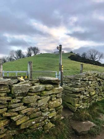
Look out for a public footpath on the left heading up some steps. This often looks like it's leading to a dead end, but it continues as it weaves between properties and through a strange tunnel!
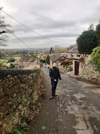
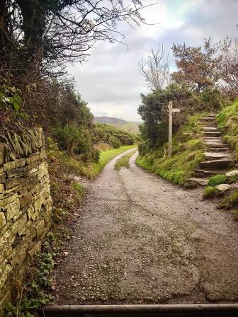
The footpath continues up a ramp beside a stone wall, and then up some steeper steps to Windmill Lane. Turn left to follow the road down to the hairpin bend where the Redway Tavern pub used to be.
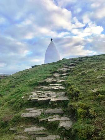
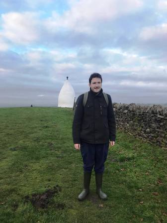
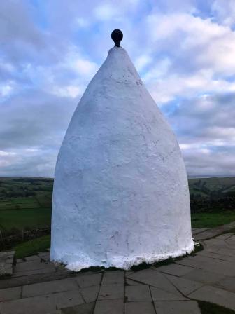
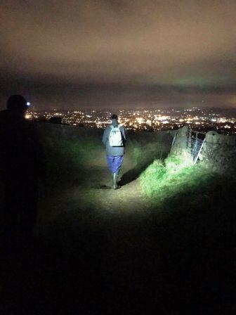
At the bend, continue onto the public footpath. Turn right at the steps to climb up to White Nancy.
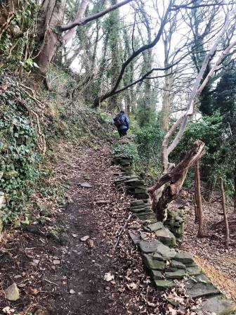
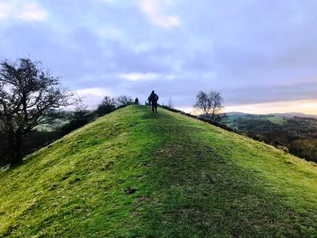
Proceed past White Nancy and continue on the path that remains with the apex of the ridge. This is a better option than following the Gritstone Trail which diverts off to the left.
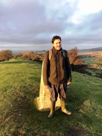
A nice section of narrow ridge leads to the trig point at the summit of Kerridge Hill, following which the path drops down to Rainow village.
Turn right at the main road, walk for a few yards then left at the public footpath. Climb up the field to Bull Hill Lane, onto which you turn right and walk up to Buxton New Road A537.
Cross over the main road and rejoin the Gritstone Trail to walk over the hill to Teggs Nose. Enjoy a coffee and cake here if desired. Take the main footpath towards the country park, but rather than turning left up the steps, keep on ahead to emerge at the top of Teggsnose Lane. Turn left here, and then right on a public footpath down to Broadcar Road. Turn right to walk down to Buxton Old Road. Turn left and walk down as far as a walled track on the left. Follow this track all the way to the end of Longden Lane. Turn right, and then left into Stoneyfold Lane. This then drops to Blakelow Road on the top edge of the town of Macclesfield. Many options are now available to walk back to the Weston, including via the town centre, or through South Park and the Flower Pot Greenway.
|
|
|