.jpg)

|
|
|
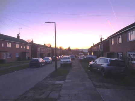
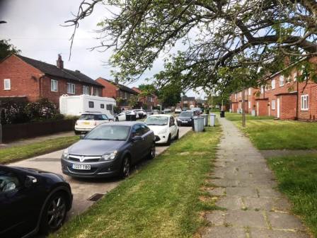
Route description & photos Start anywhere on Merebrook Road (SK11 8RH) - or nearby on the Weston. Limited on-street parking available. Walk to the top end of Merebrook Road and over onto Colville Road. Cross Chester Road onto Maxfield Close and walk to the end (behind St Luke's Church).
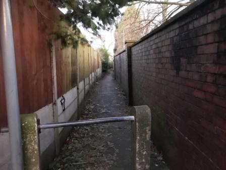
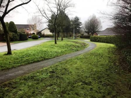
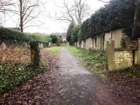
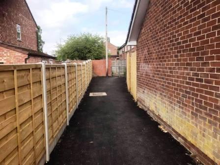
Turn left into a long narrow ginnel, following this out onto Dalesford Crescent. Bear right to walk towards Fallibroome Road, then right again, and left into Fallibroome Close. Enter another ginnel to walk through to Camborne Avenue on the Greenside Estate. At the end, turn left, then right and right again up a few steps. Turn left to follow a long greenway running between the backs of two rows of residential houses.
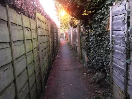
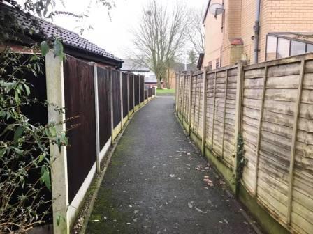
Continue straight on through more narrow ginnels, eventually emerging onto Newquay Drive. Continue onto Whirley Road, turning right to walk past a small farm on your left.
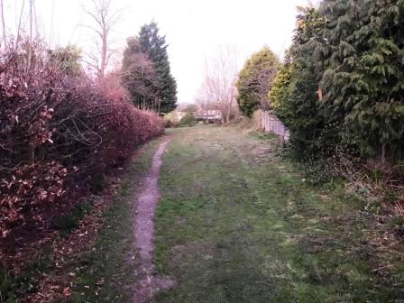
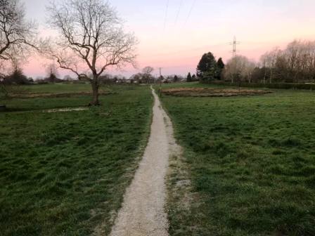
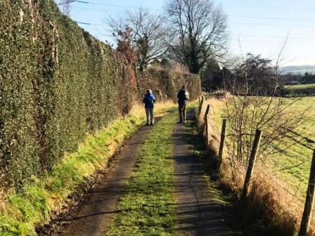
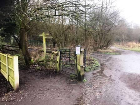
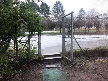
Turn left through a kissing gate to walk along a straight footpath across the common land at Longmoss. Continue onto the path between two barbed wire fences. Turn right at the end and follow the path around a few corners onto a track.
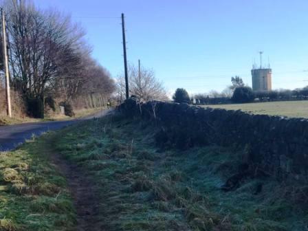
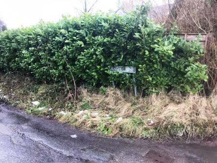
Continue on the track to the end, then turn right to walk up Andertons Road to the junction. At the junction turn right to walk a short distance before turning left into Sandy Lane.
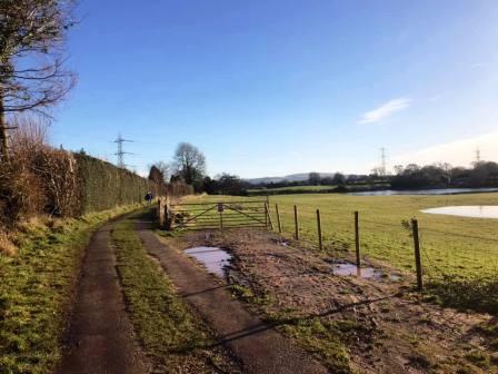
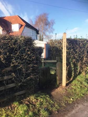
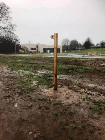
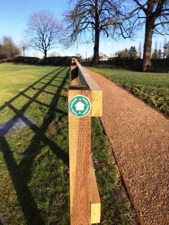
Walk down to the bottom of Sandy Lane and turn right onto the Alderley Edge - Macclesfield road. There is a good path here on the right, well away from the road, so it is pleasant and doesn't feel like roadside walking! Walk past some farmhouses and look for a public footpath on your left, through an opening and into the new Kings School campus. Progress along to the main vehicle road into the school then bear right to walk across the car park, picking up a public footpath up a ramped path toward the rugby fields.
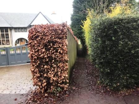
The path clings to the left perimeter of the playing field and emerges onto a drive. Go directly across for the continuation of the footpath through a narrow snicket.
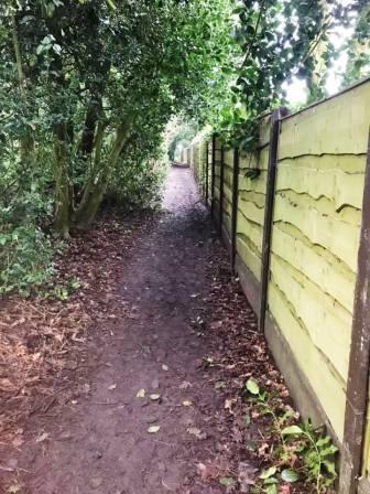
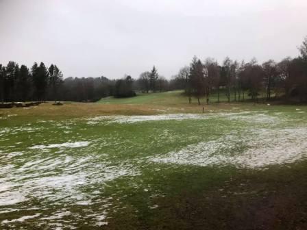
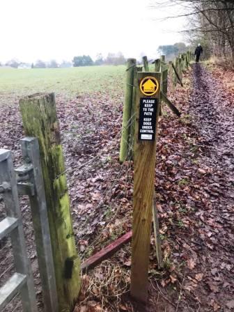
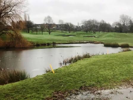
The path continues between fences before emerging at the main entrance to Prestbury Golf Club. Bear slightly right to pick up the continuation of the path, which now passes across the golf course, initially on its right-hand boundary, before striking through the centre of the course.
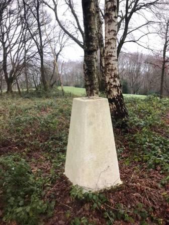
Uphill to your right is a small summit known locally as "Dale Brow". The is a trig point here if you wish to take an optional detour, but beware of golf balls - and golfers!
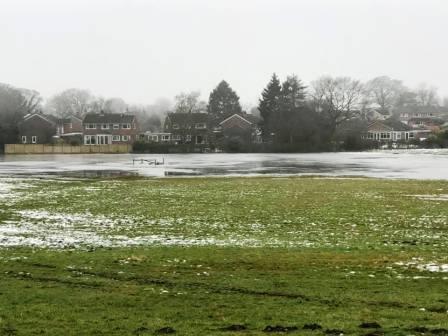
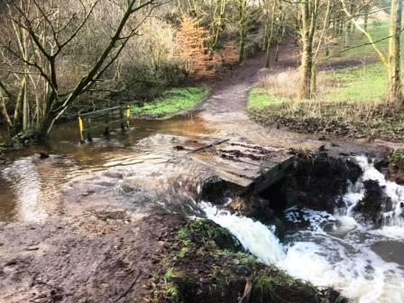
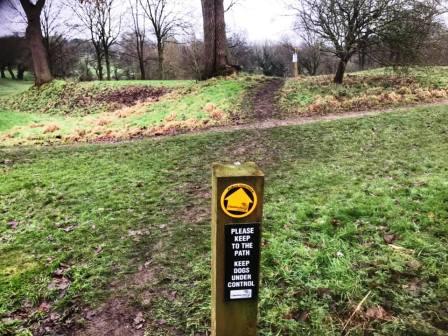
The public right of way through the golf course is well signposted, and follows a clear path. Seemingly clearer and more substantial paths can be seen to the sides, but should be ignored, as they are for the golfers. The path passes by a coupld of streams at the lowest point of the golf course, and this area can be flooded after a period of prolonged rainfall. Should this be the case, backtrack a little and work your way around a causeway built for golf buggies and maintenance vehicles on the course.
The path through the course ends at a kissing gate onto Chelford Road. Turn right here and follow the road down into Prestbury Village.
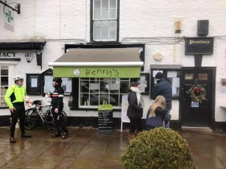
The village features several cafes, bars and restaurants, but the favourite at the time of writing with us - and seemingly with many other walkers and cyclists - is Henry's Cafe. Enjoy a well-deserved bacon, sausage and mushroom butty, a courgette and lime cake and a hot chocolate here! If closed, there is a Co-op on the other side of the road.
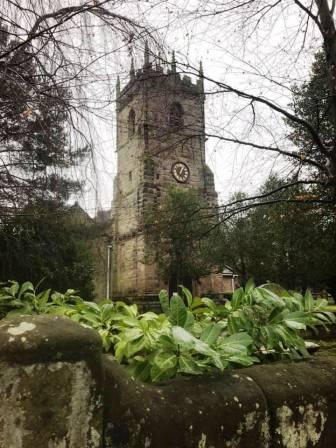
Walk through the village, past St Peter's Church and then turn right into Bollin Grove. Soon there is a waymarked entrance for the Bollin Valley Way, but this is extremely muddy and slippery, and best avoided. The end of Bollin Grove reaches exactly the same point anyway, so simply walk to the end of this residential road.
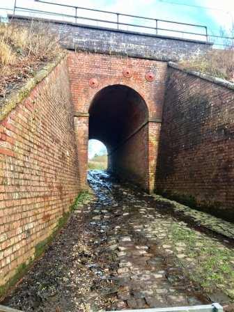
At the end of the road, the main Bollin Valley Way route continues straight ahead. However, our route does not. We turn sharp left here to walk up the cobbles through a small tunnel under the mainline railway.
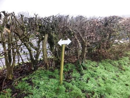
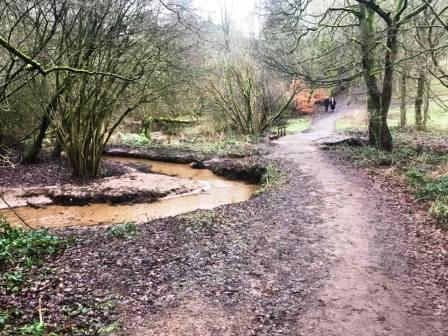
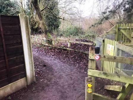
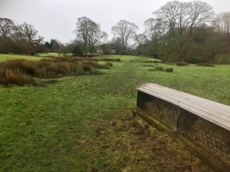
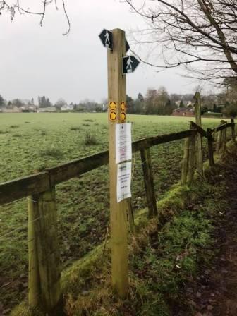
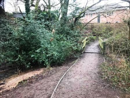
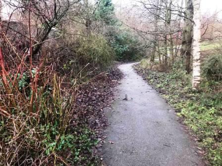
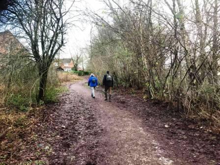
After the tunnel, avoid the instinct to turn right to follow what appears to be a substantial track. Instead, keep on ahead, as pointed by the signpost, over some ground that can be a bit damp and boggy.
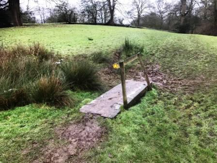
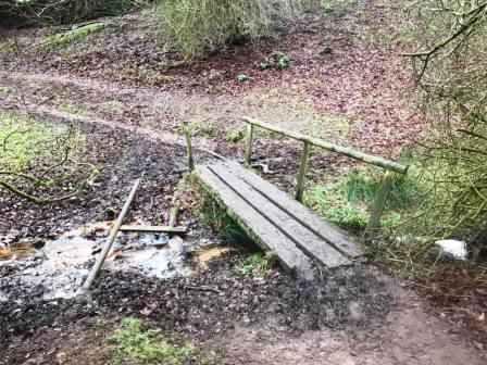
The worst bits are crossed by small wooden bridges - but be prepared to get muddy boots here!
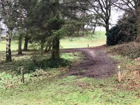
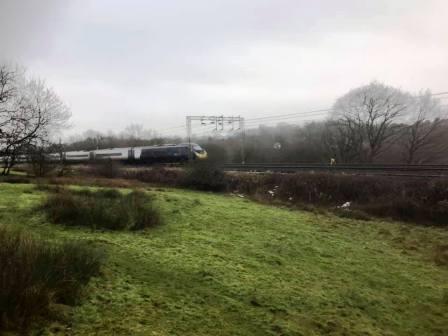
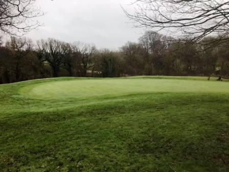
The footpath then climbs up a couple of fields before reaching the Northern boundary of Tytherington Golf Club. Follow the signs carefully here, and bear sharp right when indicated at a junction of routes.
After the right turning, the route across the course is then fairly well signposted.
It can be damp across the course after a period of wet weather. Eventually the path emerges onto Dorchester Way (North). Turn left for a few yards, then cross the road into a footpath entering into the residential estate.
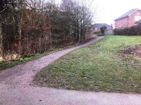
Stay on the footpath until it reaches a kind of T-junction. Turn right here.
The path follows a brook and emerges onto another residential road. Another path goes off to the right, which we follow down to Dorchester Way (South).
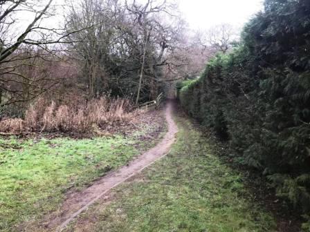
Cross over Dorchester Way and take the very substantial path along the right-hand side of Tytherington Wood.
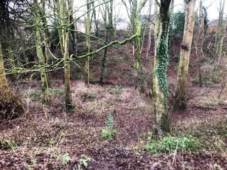
The path continues in a consistent direction between the rear boundaries of residential properties on the right, and the widening, deepening Tytherington Wood to your left.
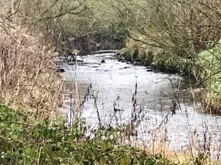
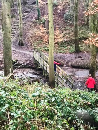
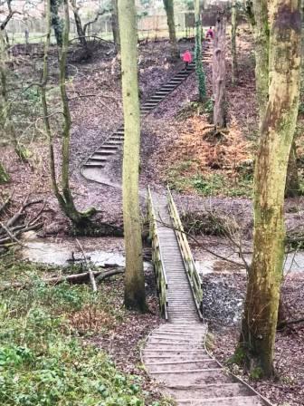
As the railway line comes into view through the trees ahead, take the left turning down to the footbridge at the bottom of the wood. Cross this then climb up the steps on the other side. Turn right to head towards the Bollin Valley.
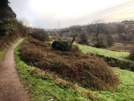
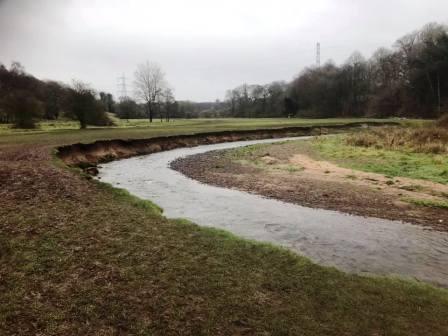
This leads out onto a scenic path high above the Bollin Valley, and heads in a direction towards Macclesfield. You will see lots of lower paths down to your right, and options to join them, but it is recommended to stay on the top path for the best views.
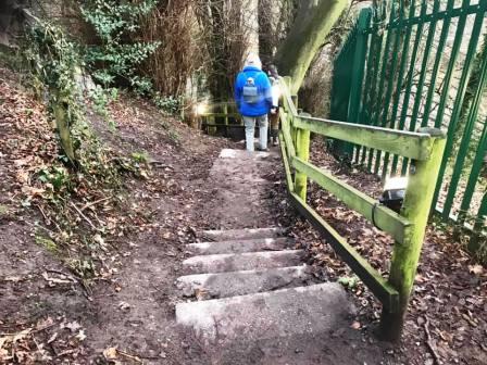
As you head back into the woods, look for a stairway heading down beside a metal green fence. Head down to the Bollin Valley Way and turn right under the railway viaduct.
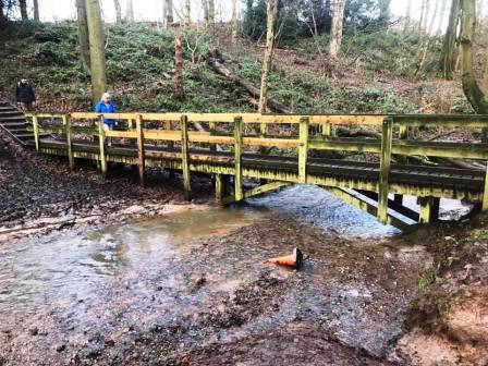
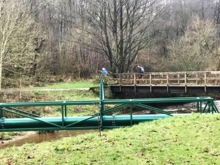
Walk a short distance back towards Prestbury on the Bollin Valley Way, but then turn right to cross the large wooden footbridge. Beside this footbridge is a pipe. this used to be the crossing method before the bridge was built at the end of the 1980s! In the mid 1980s, this used to be my route to school, and I would carry my pushbike over this pipe every morning. The metal spikes weren't there then of course!
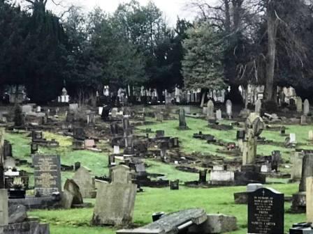
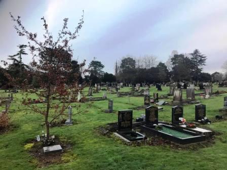
After the footbridge, keep left and walk up the ramp towards Abbey Road. Continue to the end of Abbey Road and straight over into the cemetery if it is open. (If it is not open, then turn right and walk up Westminster Road, and then sharp left as it continues into Bollinbrook Road).
Walk along the cemetery roads, staying fairly close to the Westminster Road boundary. At the far end, there is a gate exit onto Bollinbrook Road. Turn left and continue up to the T-junction with Prestbury Road.
Turn right into Prestbury Road and walk a few yards until a path an cut-through appears on your left. This takes you through to Wren Close. Turn left again into another ginnel that goes through to the peanut-shaped Bittern Grove! Walk out of Bittern Grove and bear left onto The Whitfield, leading out onto Victoria Road.
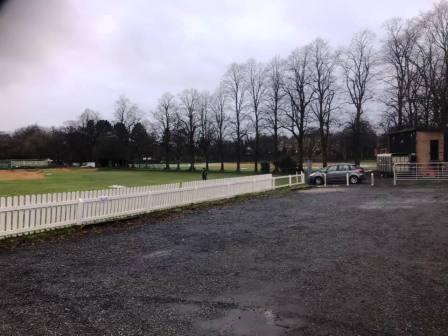
If possible, cross straight over Victoria Road and into Macclesfield Cricket Club. Turn sharp right to follow the vehicle road around the cricket pitch towards the scoreboard. Just after the scoreboard, turn left onto another paths that follows beside a fence. Towards the end of this path, look to cut across to your right to get through an open gate onto The Uplands. This gate seems to be always open at the time of writing, but this is not a guarantee that it will be so. If locked, the alternative is back up Victoria Road, left onto Pavilion Way and then left again onto a cyclepath that cuts through to Chester Road.
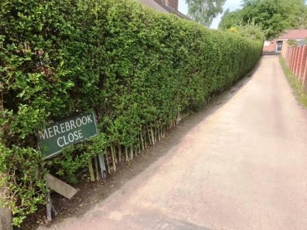
Exit the Uplands onto Chester Road, then cross straight over the roundabout onto Ivy Road. After a few yards, turn right into Merebrook Close. Turn left at the top of Merebrook Close to follow the ginnel through to Merebrook Road, at which point the circular route is complete.
|
|
|