.jpg)

|
|
|
Route description & photos Start anywhere on Merebrook Road (SK11 8RH). Limited on-street parking available. Walk to the top end of Merebrook Road and over onto Colville Road. Cross Chester Road onto Maxfield Close and walk to the end (behind St Luke's Church).
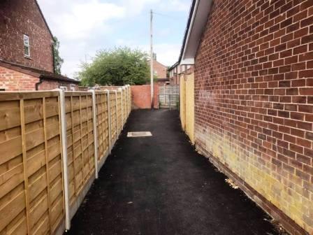
Turn left into a long narrow ginnel, following this out onto Dalesford Crescent. Bear right to walk towards Fallibroome Road, then right again, and left into Fallibroome Close. Enter another ginnel to walk through to Camborne Avenue on the Greenside Estate.
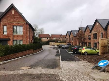
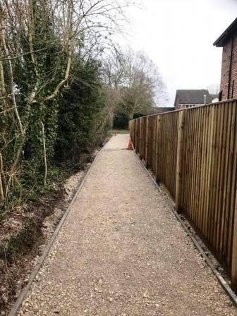
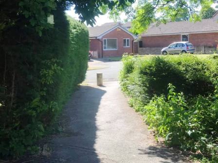
Turn right out of the ginnel and walk to the end of the road. Turn left into St Austell Avenue, then right into Redruth Avenue. At the end, turn left into Birtles Road. Walk up the road, looking out for a new housing development on your right (photo,above right). Walk to the end of the cul-de-sac and into the footpath that cuts through to Drummond Way.
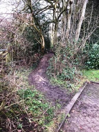
Walk down Drummond Way, then turn left into Hamble Way. This starts to double-back on itself, but look out on the right for a muddy path leading out from a residential parking area.
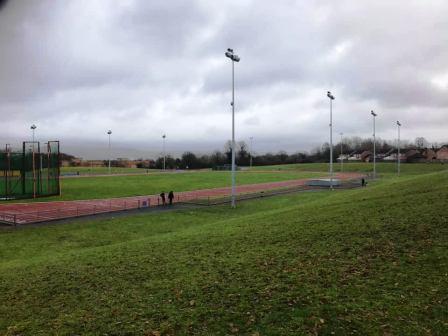
This is a very muddy path, not designated as a public right of way, but in customary use. This leads initially to the grounds behind Macclesfield Leisure Centre, overlooking the 400m athletics track. Continue ahead, atop the embankment, and into another wooded area behind Fallibroome School. This is private land, but walkers are allowed here when the school is not in session.
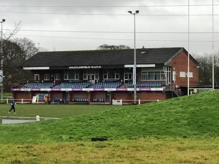
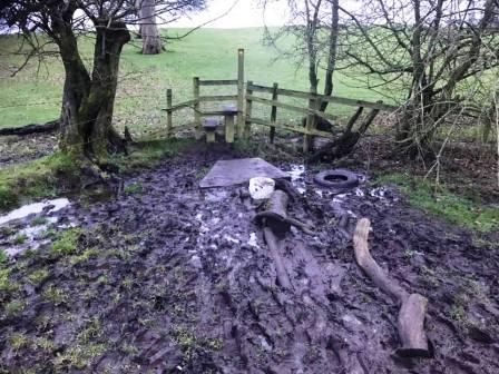
The footpath stays to the right of a fence boundary, turning corners with it. It emerges into the grounds of Macclesfield Rugby Union Football Club. Head towards the main clubhouse / grandstand, then bear left along an embankment behind the rugby posts. Continue until the path drops steeply to the main road. Take care here as it can be very muddy and slippery. Please note that the paths through the rugby club are not public rights of way. This is private land owned by Macclesfield RUFC, and use of the paths is by kind permission of the rugby club.
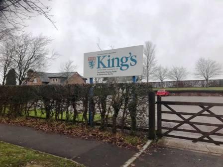
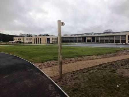
Turn left and cross the road to walk alongside the new King's School campus. Turn into the school grounds at the public footpath sign.
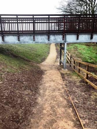
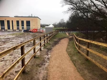
Continue to follow the footpath signs, leading onto a well-engineered path under a footbridge between the main school building and the sports centre.
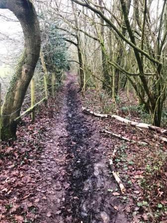
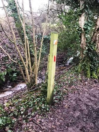
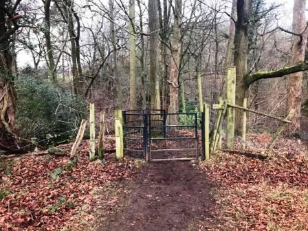
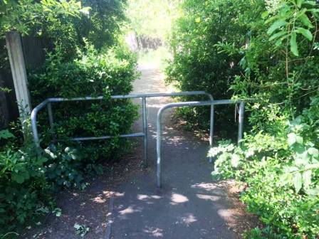
The path turns sharp left to continue behind the school. After a kissing gate, the engineered path ends and suddenly the terrain can be very muddy. The path goes into Big Wood, rejoining the original route of the right of way before it was necessarily diverted due to the King's School development.
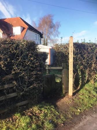
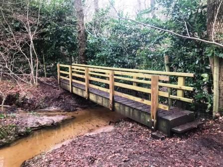
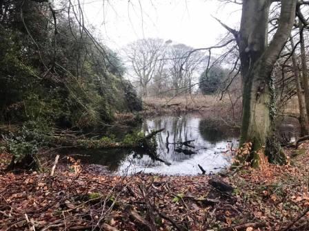
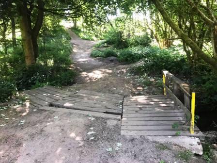
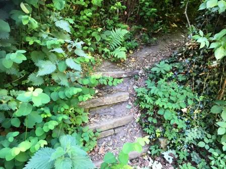
Drop into the bottom of Big Wood to cross a wooden footbridge. Another muddy path the leads between the trees out onto Chelford Road, Prestbury.
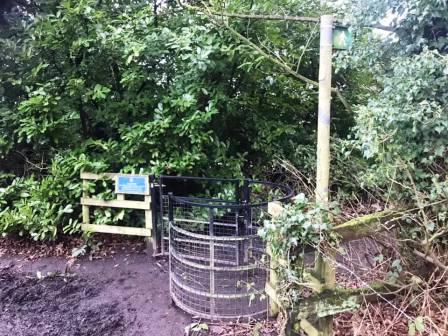
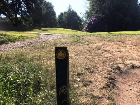
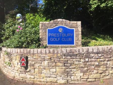
Turn right onto Chelford Road, passing a pond on your left. Look out for a kissing gate and public footpath sign on your right to enter into Prestbury Golf Course.
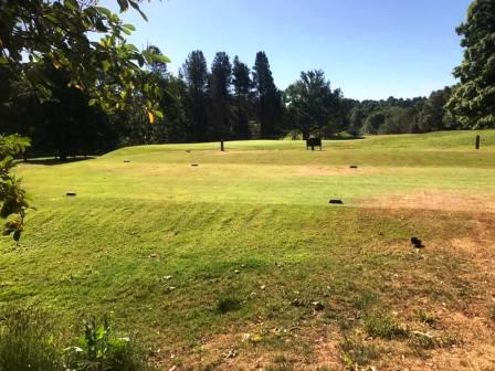
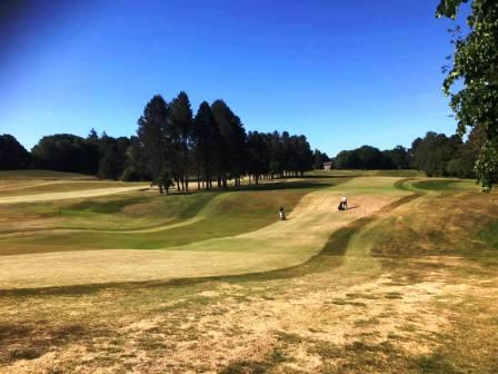
This popular route crosses the progress of golfers in a couple of places, so like with any PROWs across golf courses, remain vigilant and watch for any approaching players - especially if they are about to hit a drive or tee-shot!
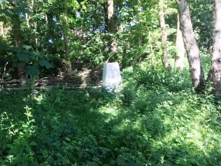
The footpath across the golf course climbs up towards a small wood on your left. At this point, there is an optional detour. A faint service vehicle track can be picked up the climbs around the edge of the wood towards the top of this small rise. The track becomes more defined, and as it levels off, look for the trig point to your left. This is Dalebrow, TP2722.
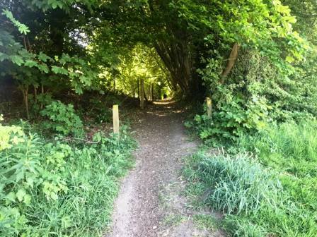
The path crosses another fairway and climbs to a track that leads out of the golf course. Join the golf club access road and follow it down to the main road. Turn right, and then quickly left onto a narrow path to the left of Yew Tree Farm. This section can be badly overgrown with weeds and nettles, and can be challenging! It is however very short before reaching open fields.
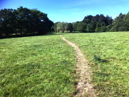
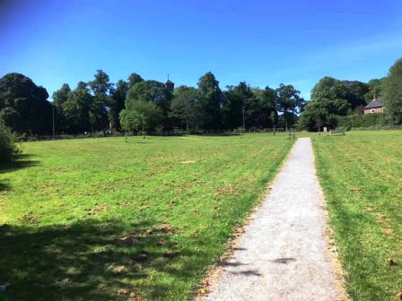
The public footpath progresses in a southerly direction over Yew Tree Farm and Walnut Tree Farm. In places it is difficult to follow on the ground, but careful looking ahead can usually pick out the next stile.
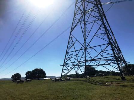
After a stile, you follow a clear line of trees towards an electricity pylon. The pylon is a good landmark here; pass just to the right of it. Continue to the stile onto Prestbury Road, near Upton Priory, Macclesfield.
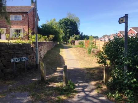
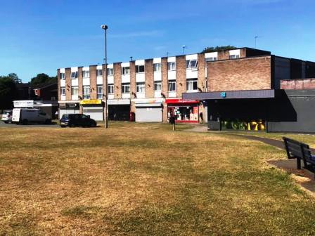
Cross the main road and turn left for a short distance. Turn right onto Beck Lane, which is still shown on some maps as a road, but is only a bridleway at this end. This long path disects Upton Priory housing estate. We leave it at its halfway point at the shops on Westmorland Close.
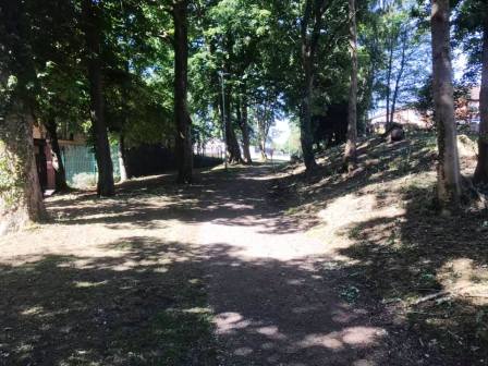
Cross over Kennedy Avenue from the shoppers car park and continue directly ahead onto a tarmac footpath into a private housing estate.
A series of paths and streets are then followed over this estate and past the East Cheshire Hospice. The residential area is left on a path across a green common towards Victoria Road. Cross that road to then walk across "The Villas", yet another residential area, on the site of the old Parkside Hospital.
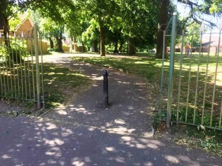
Follow the road around the right-hand-side of the building with the clock tower, all the way around and behind it. Look out for an opening in the metal fences for a path with a black metal post at its start. Follow this out onto Chester Road.
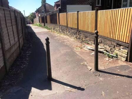
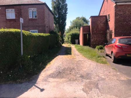
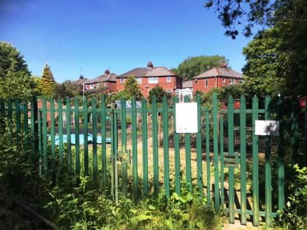
Turn right onto Chester Road, and then left into a walkway through to Springfield Road. Turn right, and then quickly left into an alleyway, that turns sharp left and continues down to some allotments.
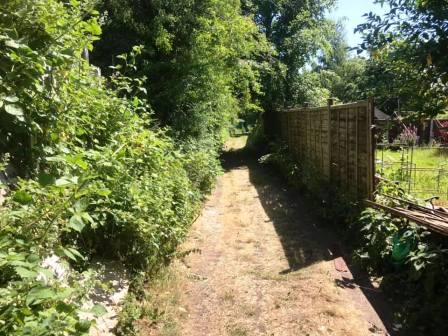
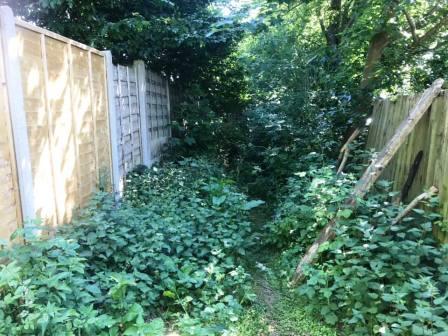
Beyond the allotments, the path becomes overgrown and much less pleasant, but progress is still possible, and this section is short.
Turn right into Merebrook Close, and right again into the alleyway leading to Merebrook Road. The route is complete.
|
|
|