.jpg)

|
|
|
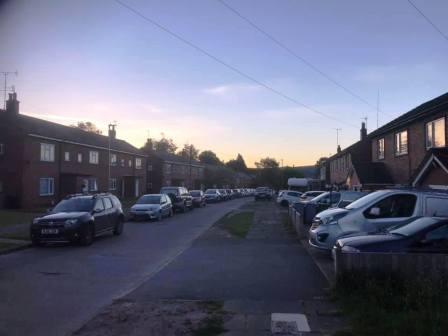
Route description & photos Start anywhere on Merebrook Road (SK11 8RH). Limited on-street parking available. Walk to the top end of Merebrook Road and over onto Colville Road. Cross Chester Road onto Maxfield Close and walk to the end (behind St Luke's Church).
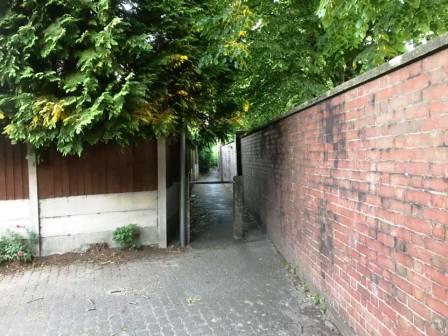
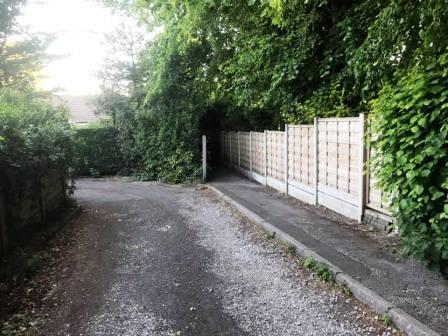
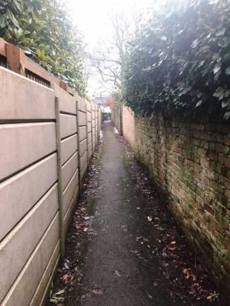
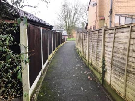
Turn left into a long narrow ginnel, following this out onto Dalesford Crescent. Bear right to walk towards Fallibroome Road, then right again, and left into Fallibroome Close. Enter another ginnel to walk through to Camborne Avenue on the Greenside Estate.
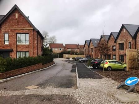
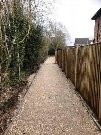
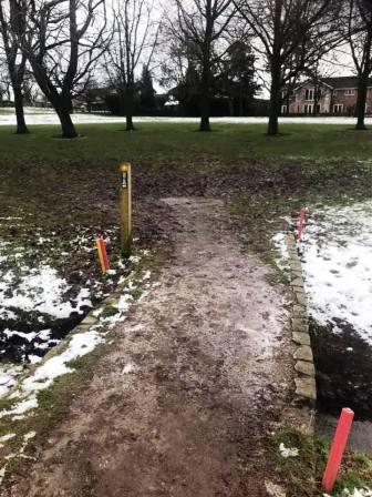
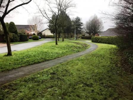
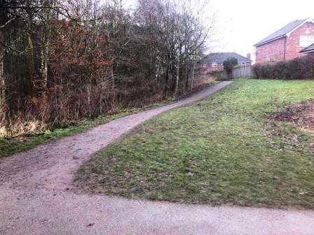
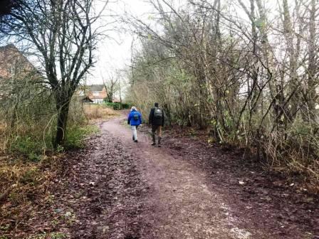
Turn right out of the ginnel and walk to the end of the road. Turn left into St Austell Avenue, then right into Redruth Avenue. At the end, turn left into Birtles Road. Walk up the road, looking out for a new housing development on your right (photo,above right). Walk to the end of the cul-de-sac and into the footpath that cuts through to Drummond Way.
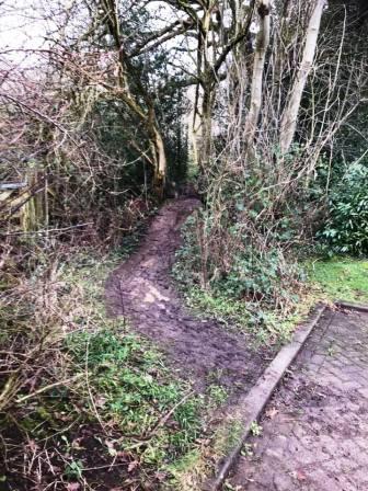
Walk down Drummond Way, then turn left into Hamble Way. This starts to double-back on itself, but look out on the right for a muddy path leading out from a residential parking area.
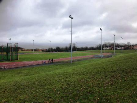
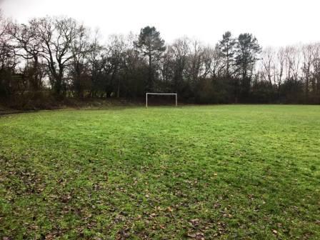
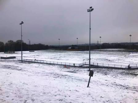
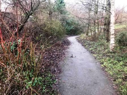
This is a very muddy path, not designated as a public right of way, but in customary use. This leads initially to the grounds behind Macclesfield Leisure Centre, overlooking the 400m athletics track.
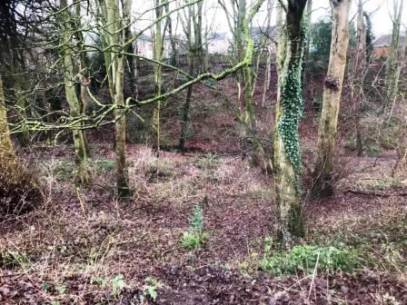
Continue ahead, atop the embankment, and into another wooded area behind Fallibroome School. This is private land, but walkers are allowed here when the school is not in session.
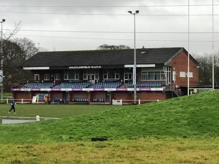
The footpath stays to the right of a fence boundary, turning corners with it. It emerges into the grounds of Macclesfield Rugby Union Football Club. Head towards the main clubhouse / grandstand, then bear left along an embankment behind the rugby posts. Continue until the path drops steeply to the main road. Take care here as it can be very muddy and slippery. Please note that the paths through the rugby club are not public rights of way. This is private land owned by Macclesfield RUFC, and use of the paths is by kind permission of the rugby club.
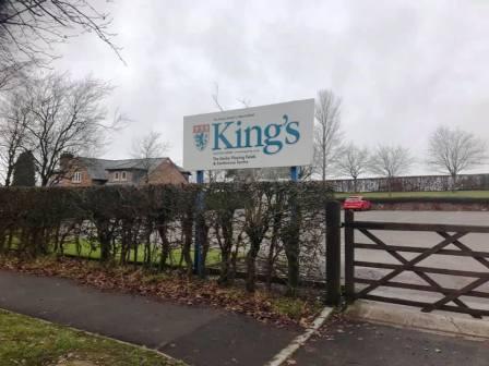
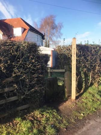
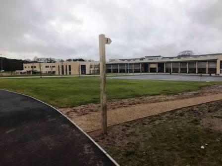
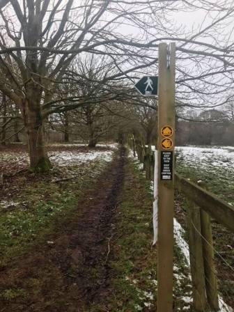
Turn left and cross the road to walk alongside the new King's School campus. Turn into the school grounds at the public footpath sign.
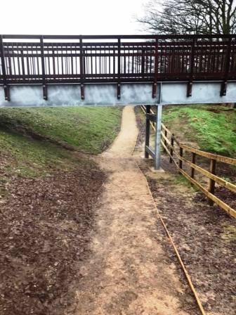
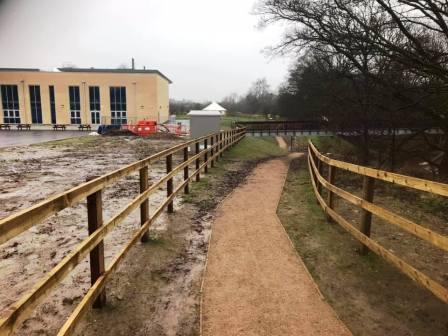
Continue to follow the footpath signs, leading onto a well-engineered path under a footbridge between the main school building and the sports centre.
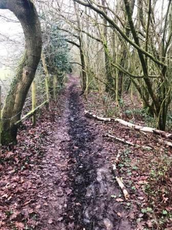
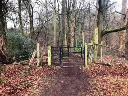
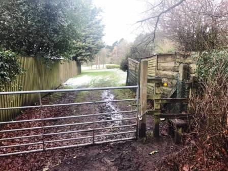
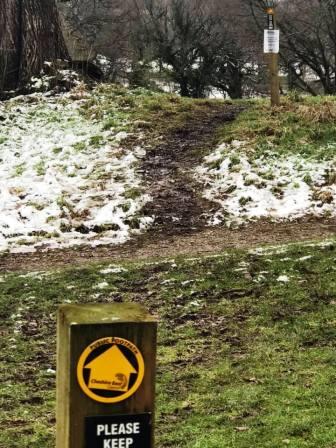
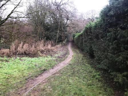
The path turns sharp left to continue behind the school. After a kissing gate, the engineered path ends and suddenly the terrain can be very muddy. The path goes into Big Wood, rejoining the original route of the right of way before it was necessarily diverted due to the King's School development.
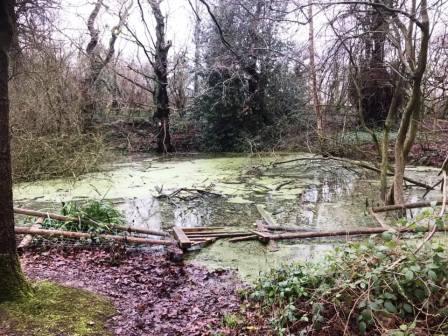
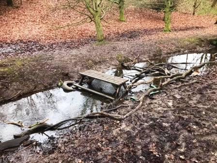
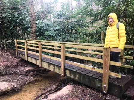
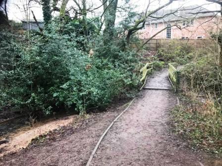
Drop into the bottom of Big Wood to cross a wooden footbridge. Another muddy path the leads between the trees out onto Chelford Road, Prestbury. Turn right to head towards the village.
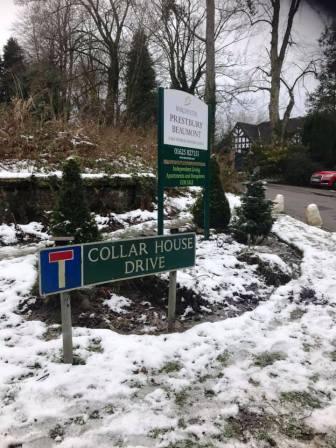
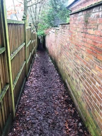
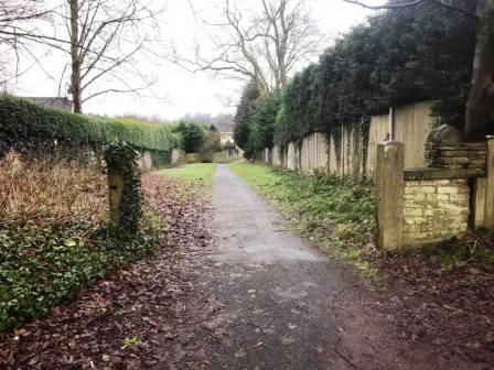
Walk a short distance down Chelford Road, taking care as there are no pavements. Turn left into Collar House Drive, and soon right down a ginnel marked as a public footpath.
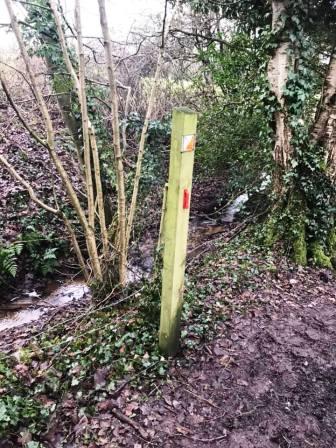
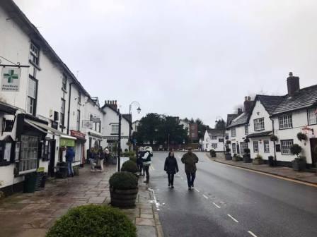
After the ginnel crosses a stream at a dog-leg, look for another ginnel leading off to the right. Follow this out onto Birchway, in a residential area of Prestbury. Turn right onto Castlegate and follow the road out onto the main A538 Prestbury to Wilmslow road - Castle Hill. Turn right and walk into the village.
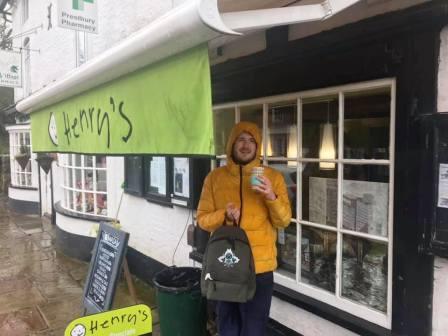
Henry's Cafe is highly recommended for takeaway hot sandwiches, coffees and homemade cakes. Alternatively, there is a Co-op just as you enter the village.
Walk through the village past the church, and turn right into Bridge End Lane. This is a cul-de-sac driveway leading over the mainline railway, just south of Prestbury Station.
The path continues down another long ginnel, emerging onto Heybridge Lane. Turn right and walk along the road for about 1km.
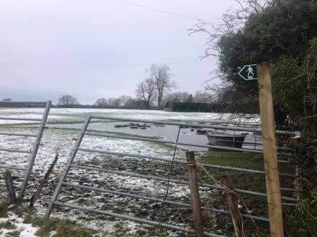
Ignore the first public footpath on your right, but take the second one down a vehicle track.
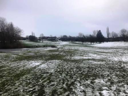
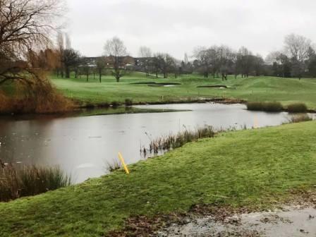
Follow the path between the fences until it arrives onto Tytherington Links golf course. The footpath heads back towards Prestbury village here, but look out for a sign pointing left. This is the path to follow through the middle of the course.
After the left turning, the route across the course is then fairly well signposted. It can be damp across the course after a period of wet weather. Eventually the path emerges onto Dorchester Way (North). Turn left for a few yards, then cross the road into a footpath entering into the residential estate.
Stay on the footpath until it reaches a kind of T-junction. Turn right here.
The path follows a brook and emerges onto another residential road. Another path goes off to the right, which we follow down to Dorchester Way (South).
Cross over Dorchester Way and take the very substantial path along the right-hand side of Tytherington Wood.
The path continues in a consistent direction between the rear boundaries of residential properties on the right, and the widening, deepening Tytherington Wood to your left.
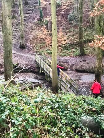
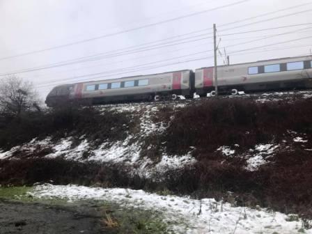
As the railway line comes into view through the trees ahead, take the left turning down to the footbridge at the bottom of the wood. Cross this then climb up the steps on the other side. Turn right to head towards the Bollin Valley.
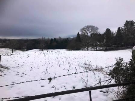
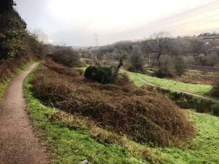
This leads out onto a scenic path high above the Bollin Valley, and heads in a direction towards Macclesfield. You will see lots of lower paths down to your right, and options to join them, but it is recommended to stay on the top path for the best views. The lower path only leads to a bit of a "dead end" anyway, and you'd have to climb back up to the top path.
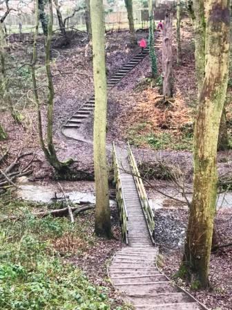
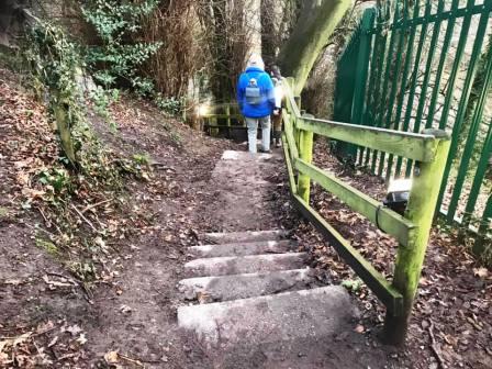
As you head back into the woods, look for a stairway heading down beside a metal green fence. Head down to the Bollin Valley Way and turn right under the railway viaduct.
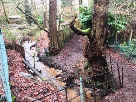
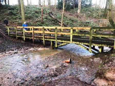
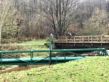
Walk a short distance back towards Prestbury on the Bollin Valley Way, but then turn right to cross the large wooden footbridge. Beside this footbridge is a pipe. this used to be the crossing method before the bridge was built at the end of the 1980s! In the mid 1980s, this used to be my route to school, and I would carry my pushbike over this pipe every morning. The metal spikes weren't there then of course!
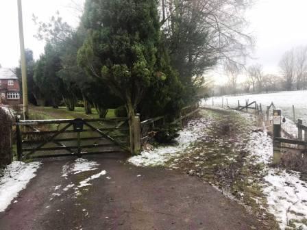
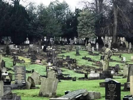
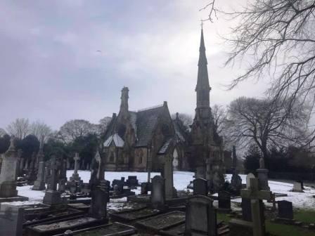
After the footbridge, keep left and walk up the ramp towards Abbey Road. Continue to the end of Abbey Road and straight over into the cemetery if it is open. (If it is not open, then turn right and walk up Westminster Road, and then sharp left as it continues into Bollinbrook Road).
Walk along the cemetery roads, staying fairly close to the Westminster Road boundary. At the far end, there is a gate exit onto Bollinbrook Road. Turn left and continue up to the T-junction with Prestbury Road.
Turn right into Prestbury Road and walk a few yards until a path an cut-through appears on your left. This takes you through to Wren Close. Turn left again into another ginnel that goes through to the peanut-shaped Bittern Grove! Walk out of Bittern Grove and bear left onto The Whitfield, leading out onto Victoria Road.
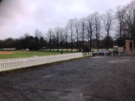
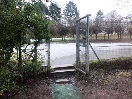
If possible, cross straight over Victoria Road and into Macclesfield Cricket Club. Turn sharp right to follow the vehicle road around the cricket pitch towards the scoreboard. Just after the scoreboard, turn left onto another paths that follows beside a fence. Towards the end of this path, look to cut across to your right to get through an open gate onto The Uplands. This gate seems to be always open at the time of writing, but this is not a guarantee that it will be so. If locked, the alternative is back up Victoria Road, left onto Pavilion Way and then left again onto a cyclepath that cuts through to Chester Road.
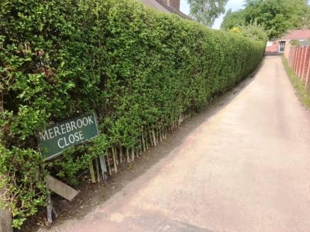
Exit the Uplands onto Chester Road, then cross straight over the roundabout onto Ivy Road. After a few yards, turn right into Merebrook Close. Turn left at the top of Merebrook Close to follow the ginnel through to Merebrook Road, at which point the circular route is complete.
|
|
|