.jpg)

|
|
|
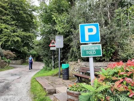
Route description & photos Start from Higher Hurdsfield. There may be roadside parking available, or it may be possible to park at Higher Fold (SK10 2PD) at the top end of Higher Hurdsfield.
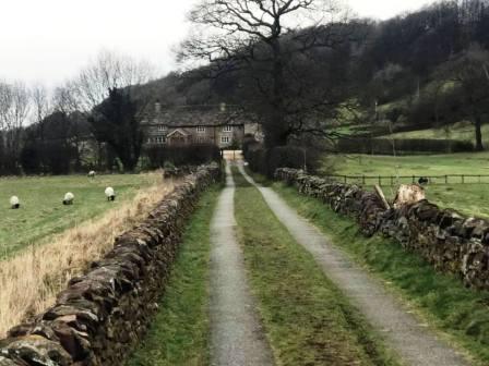
Walk up the main road a short distance before bearing left into Well Lane. This is a very quiet road and you are unlikely to be disturbed by passing cars. Ignore the byway going off to your left, but continue around to the right to walk past Swascoe Hall.
When the lane then bears right, head straight on onto a public footpath that is a well surfaced road initially. When you reach the buildings, the footpath leaves the drive on the right hand side, to then contour in a straight line along the gentle hillside.
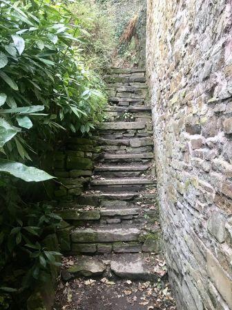
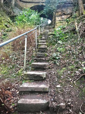
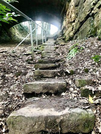
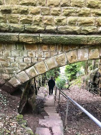
Continue along the footpath through Lower Swanscoe Farm and Swanscoe Farm. As the footpath reaches some cottages on the edge of Kerridge village, look out for a public footpath sign pointing up a narrow alleyway on the right. This soon turns into a stiff climb up a steep flight of stone steps. As a child, I was always told this was "Jacob's Ladder" by my father, though I have been unable to unearth any other evidence of that name! The stairway climbs under a viaduct that carries Windmill Lane above, and then the path doubles back to join the road.
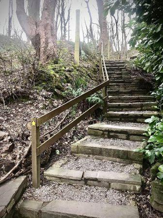
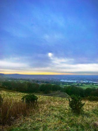
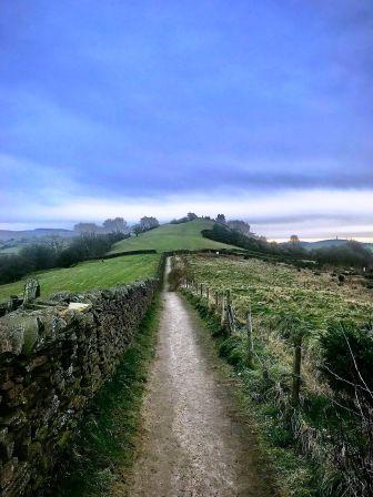
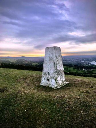
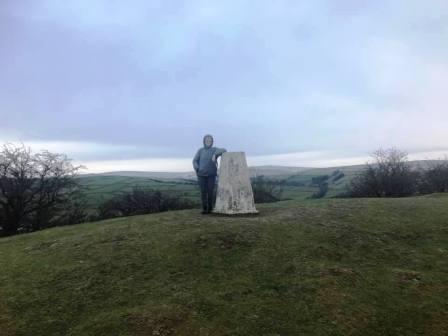
Turn left (south) along the road for a few yards before bearing left up a track, marked by a public footpath sign. This passes some buildings then turns sharp left and heads up more stairs to the ridge. Turn right onto the ridge path and follow all the way up to the trig point at the summit.
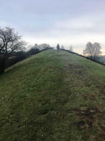
Just ahead of the summit, you will enjoy a surprisingly narrow (about 2 to 3 metres, so not too scary for those without a head for heights) section of ridge. Who'd have imagined that in Cheshire? Make sure you stay on the ridgeline and avoid the numerous other public footpaths veering off in various directions.
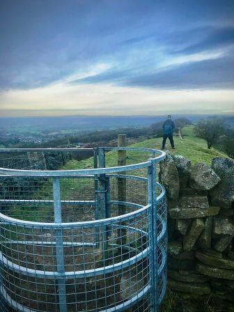
After passing the summit, the top path drops down the other side of the ridge towards Rainow. This particular path doesn't head into that village though, bringing you out onto the B5470 (Macclesfield to Whaley Bridge) road at Kerridge-end. Turn right to walk a short way down the road. A footpath on the left connects up to Tegg's Nose via Bull Hill Lane, and appears in other Lockdown routes on this website.
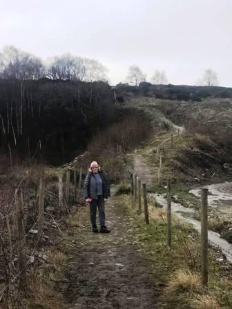
Bear left into Calrofold Lane. This affords more pleasant walking than the mile or so back down the main road to the start-finish point. Look for a public footpath on the right. Follow this to contour around the north of Cliff Hill, and back down to the B5470, rejoining the main road in Higher Hurdsfield. Turn left and walk the final few steps down to the start point at Higher Fold.
|
|
|