.jpg)

|
|
|
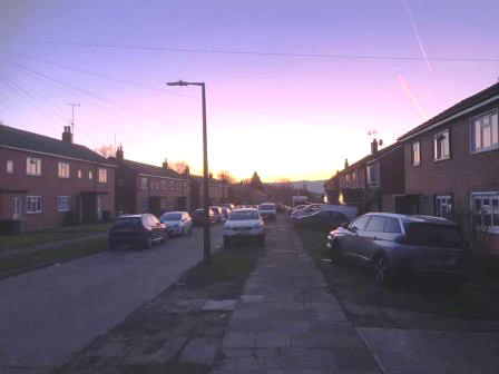
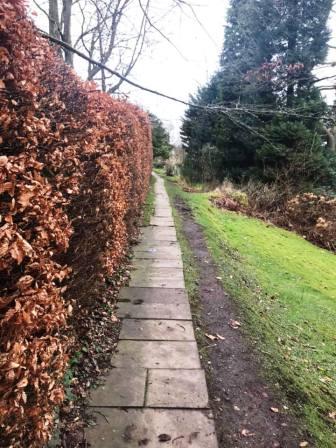
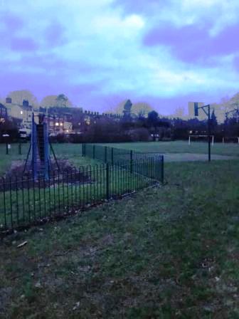
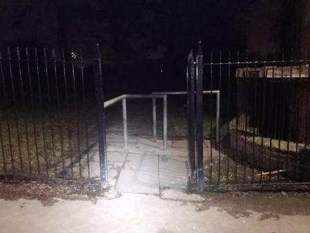
Route description & photos Start anywhere on Merebrook Road (SK11 8RH). Walk to the top of Merebrook Road and out onto Chester Road via Colville Road. Turn right towards Macclesfield. Look out for an opening in the wall on your left. Turn into a path, and then immediately right to walk on a good path more or less parallel to the road. This returns you back onto Chester Road down a few steps. Turn left into the Villas Estate and then right into The Uplands. Look for an open gate on your left leading into the cricket ground.
Walk along the path and then car park of the cricket club and exit the main entrance onto Victoria Road. Walk straight over into The Whitfields and head through the residential estate. Turn right into Bittern Grove "The Peanut" and out through an alleyway near its opposite end. Shortly after you emerge from the alleyway, turn right into Wren Close, and then quickly right again into another alleyway. This leads out onto Prestbury Road. Turn right, and then left into Bollinbrook Road. Walk about three-quarters down the length of this road, then turn right through a gateway into the cemetery. Walk across the cemetery to its entrance onto Westminster Road, opposite the Pack Horse Bowling Club.
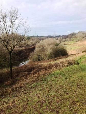
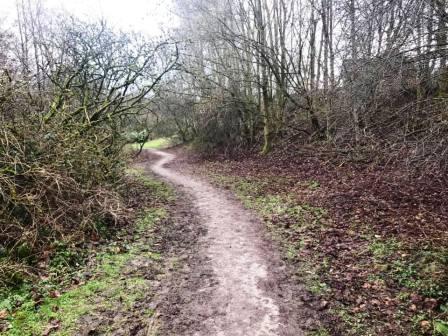
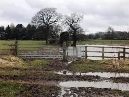
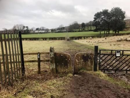
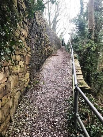
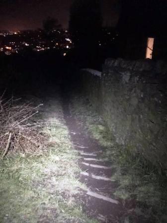
Pass to the left of the Pack Horse Bowling Club along Abbey Road before bearing right to walk down a ramp path into the Bollin Valley. Cross the footbridge and turn right onto the Riverside Park footpath. After passing under the railway viaduct, turn immediately left up a flight of steps to the back corner of Beech Hall independent school. Continue on the footpath high on the right-hand bank of the Bollin Valley. Ignore all the gates on your right until the one that is obviously the "end" - when the path turns sharply left and downhill. Pass through the gate and then continue in a similar direction until the path swings sharp right into Tytherington Wood.
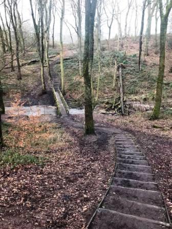
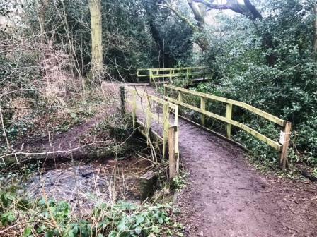
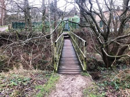
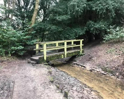
Very shortly, turn left down some steps to cross a wooden footbridge, then climb up the other side of the wood. Turn right onto a good path and follow alongside the wood out onto Dorchester Way. Continue ahead onto another path. There is soon a sharp right, then continue to follow the meandering path. After a wooden footbridge is crossed, turn immediately right over a second footbridge. Then follow the obvious path through the woods, avoiding the occasional temptation to veer right onto a residential road.
At the end of the path, it swings sharp left to cross a third wooden footbridge, then climbs a ramp road past some green silos, and up to the main Manchester Road.
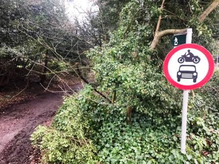
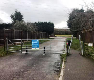
Cross over Manchester Road and straight down a public footpath, marked with a "No motor vehicles" roadsign.
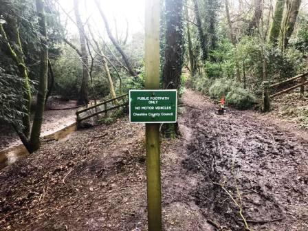
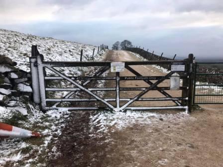
After the track swings around to the left, the path splits into two. Ignore the obvious (and muddy) path that is signed "Public footpath only", but instead veer left to follow a smaller path through the woods on the left-hand side of the stream.
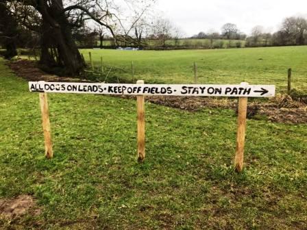
After crossing a small wooden footbridge, this eventually leads out onto Tytherington Drive. Cross directly over this road into Salisbury Place, which has a small cluster of trees and a brook in its centre. Continue to the other side of Salisbury Place and enter into the fields (original site of Macclesfield Rugby Union Football Club), turning right onto the Middlewood Way path.
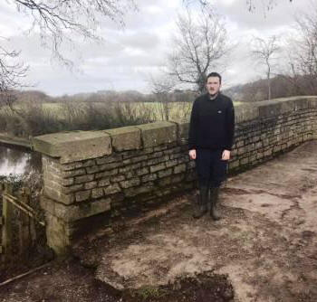
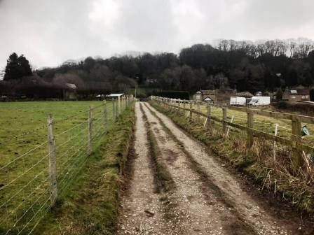
Walk along the Middlewood Way path and over the Silk Road footbridge. On the other side of the footbridge, bear right off the Middlewood Way to reach the canal at a stone bridge, very close by. Pass over the bridge then continue straight ahead on the track towards Kerridge.
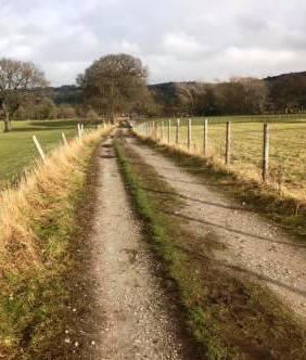
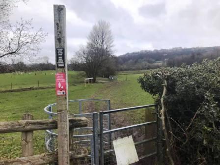
After about a quarter of a mile, public footpaths lead off on both sides of the track at a crossroads. Turn left to follow the footpath north towards Kerridge. These fields can get very muddy!
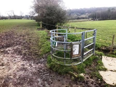
The footpath continues through six fields, and crosses a road and a track as it does so. When there is a fork in the path, bear right to head up towards Dawson Farm. Turn left onto Oak Lane.
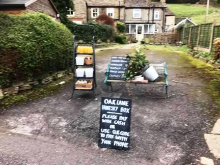
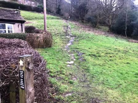
On Oak Lane, there may be an "honesty box" stall, with local apple juice, flapjack, chocolate brownies, jams and preserves. Very close by there is a public footpath that climbs diagonally across the slope, aided by some paving slabs. This is the next section of the route.
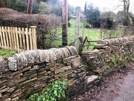
Climb up the obvious path, marked by the paving slabs, and cross a stone stile to continue diagonally upwards.
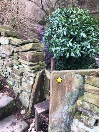
At a T-junction, bear right to follow a paved and fairly level path beside a hedge.
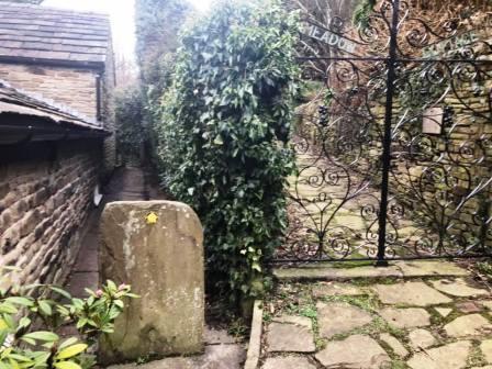
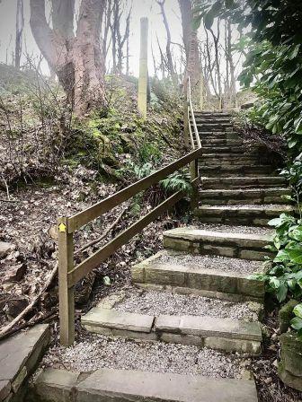
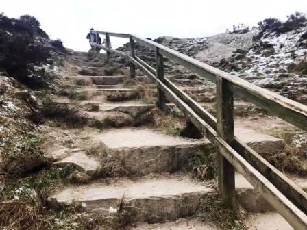
This emerges onto a rising driveway. Bear left to head up some steps. This section of the route frequently appears that it is going to be a dead end at someone's private property, but the public right of way does continue, against all the odds! It continues through a curious "tunnel" before splitting into steep steps on the left, or a ramp path on the right.
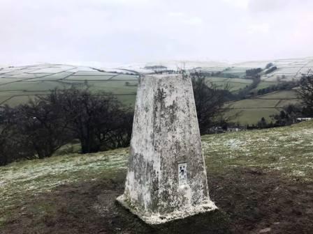
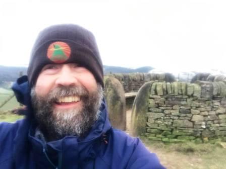
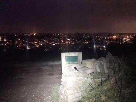
Bear right to take the ramp path up to the road - Windmill Lane. Turn right and cross the bridge beneath which the Jacob's Ladder path drops steeply back down to Kerridge. Bear left into a track marked as a public footpath. This passes some buildings then turns sharp left and heads up more stairs to the ridge. Turn right onto the ridge path and follow all the way up to the trig point at the summit.
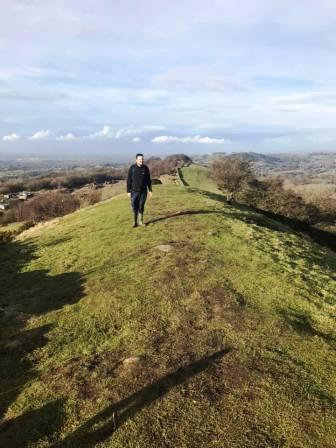
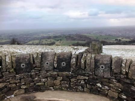
Just ahead of the summit, you will enjoy a surprisingly narrow (about 2 to 3 metres, so not too scary for those without a head for heights) section of ridge. Who'd have imagined that in Cheshire? Make sure you stay on the ridgeline and avoid the numerous other public footpaths veering off in various directions. Continue past the summit and follow the path down to Kerridge-end, just spouth of Rainow village.
Turn right at the main road, walk for a few yards then left at the public footpath. Climb up the field to Bull Hill Lane, onto which you turn right and walk up to Buxton New Road A537. Cross over the main road and join the Gritstone Trail to walk over the hill to Teggs Nose. Enjoy a coffee and cake here if desired.
Take the main path into Tegg's Nose Country Park, and follow the high path up to the summit and viewpoint.
After dropping on the other side of the summit, look for the Griststone Trail route path (clearly marked) to drop down to Langley.
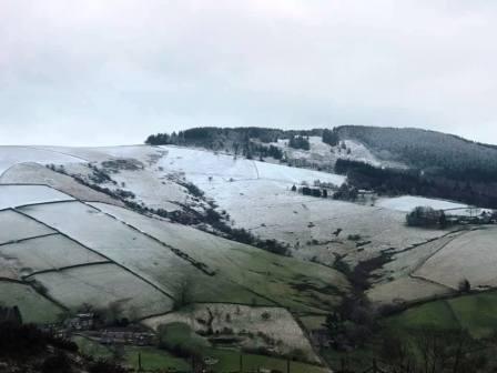
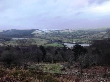
Enjoy the magnificent views over the Macclesfield Forest and Shutlingsloe as you walk down the hill to Langley.
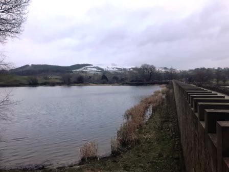
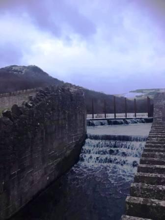
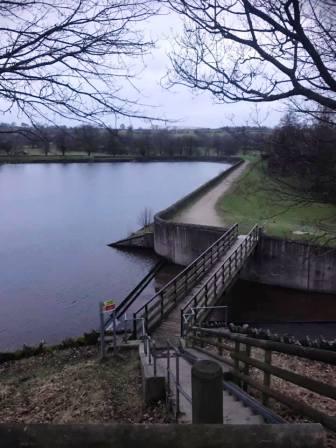
At the bottom, you will walk along two dams, the first alongside Teggsnose Reservoir, and the second by Bottoms Reservoir.
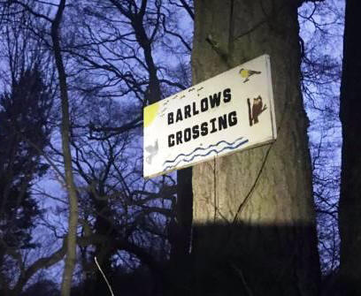
After Bottoms, turn right to head into Langley village. Look for a ginnel on your right leading down to the recreation ground.
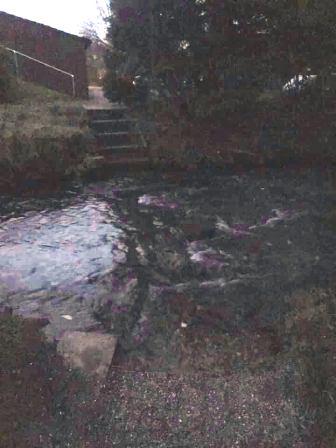
Bear left to walk through the recreation ground, and look for Barlow's Crossing over the recently-born River Bollin at the other end. This crossing is far from trivial after a spell of wet weather, and it may be prudent to retrace ones steps and walk along the road through the village instead!
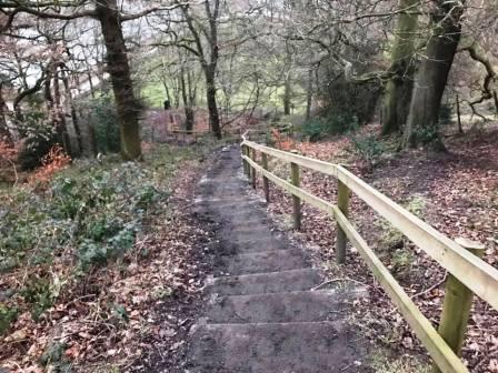
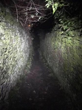
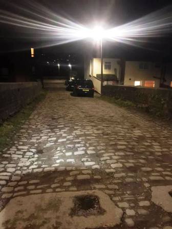
After a rather grand hall residence on the right, look for a public footpath on the right. This leads down to a footbridge, then up a hill onto The Hollins. Bear left to walk along the clear public footpath over The Hollins and through Macclesfield Golf Club. When the footpath ends on the golf club access road, look for a path dropping down on the other side, leading into a narrow ginnel between two tall stone walls. This swings right onto a wider track, which then becomes Richmond Hill, a cobbled cul-de-sac down to Windmill Street recreation ground. Cross the park to pick up Windmill Street down to the bottom.
Cross over the main A523 road and directly into Chapel Street opposite. Continue straight along this street, ignoring the several other streets that cross it at right-angles. At the T-junction, turn left into Hobson Street, and walk up that until an entrance into South Park on your right.
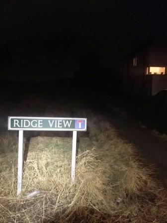
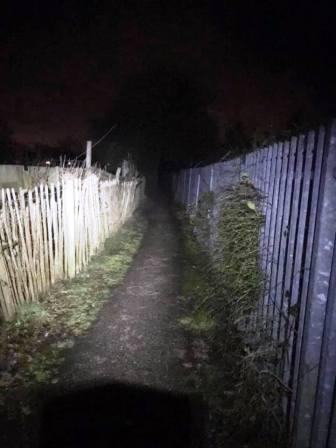
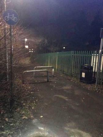
Enter South Park and follow the direction of the initial path, over grass, and onto another path later. This leads out through a ginnel beside Christ The King Primary School. Turn right into Ridge View. Look for a gently rising path just past a street sign and before some houses, and turn left to follow this. This turns right to join the path through Moss Lane Allotments, before emerging to then join the Flower Pot Greenway. Bear right to follow the Greenway to the Park Lane / Congleton Road / Oxford Road / Ivy Lane junction beside the Flower Pot pub.
Continue almost straight on down Oxford Road before turning left to walk up Brooklands Avenue. Follow the footpath to the left of the entrance to All Hallows School, which leads all the way through to Chester Road. Turn left and return to the Weston.
|
|
|