.jpg)

|
|
|
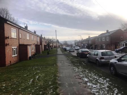
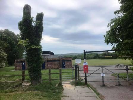
Route description & photos Start anywhere on Merebrook Road (SK11 8RH). Walk to the top of Merebrook Road and out onto Chester Road via Colville Road. Turn right towards Macclesfield. Look out for an opening in the wall on your left. Turn into a path, and then immediately right to walk on a good path more or less parallel to the road. This returns you back onto Chester Road down a few steps. Turn left into the Villas Estate and then right into The Uplands. Look for an open gate on your left leading into the cricket ground.
Walk along the path and then car park of the cricket club and exit the main entrance onto Victoria Road. Walk straight over into The Whitfields and head through the residential estate. Turn right into Bittern Grove "The Peanut" and out through an alleyway near its opposite end. Shortly after you emerge from the alleyway, turn right into Wren Close, and then quickly right again into another alleyway. This leads out onto Prestbury Road. Turn right, and then left into Bollinbrook Road. Walk about three-quarters down the length of this road, then turn right through a gateway into the cemetery. Walk across the cemetery to its entrance onto Westminster Road, opposite the Pack Horse Bowling Club.
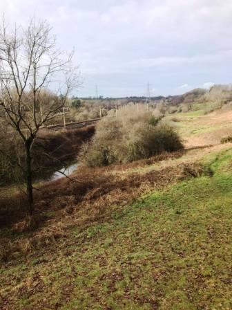
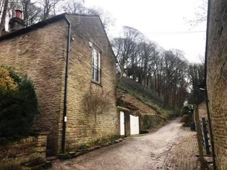
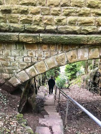
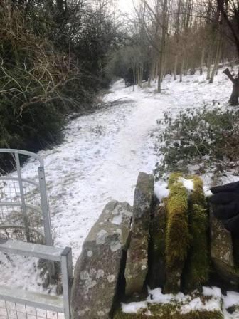
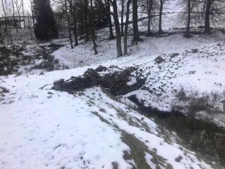
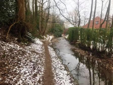
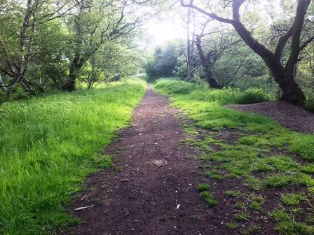
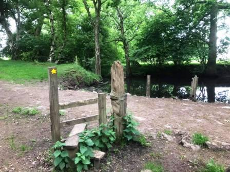
Pass to the left of the Pack Horse Bowling Club along Abbey Road before bearing right to walk down a ramp path into the Bollin Valley. Cross the footbridge and turn right onto the Riverside Park footpath. After passing under the railway viaduct, turn immediately left up a flight of steps to the back corner of Beech Hall independent school. Continue on the footpath high on the right-hand bank of the Bollin Valley. Ignore all the gates on your right until the one that is obviously the "end" - when the path turns sharply left and downhill. Pass through the gate and then continue in a similar direction until the path swings sharp right into Tytherington Wood.
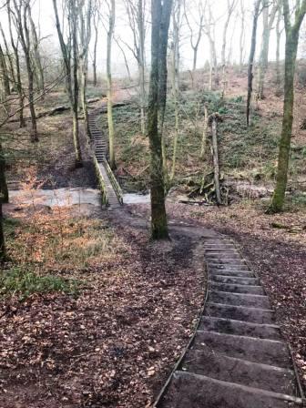
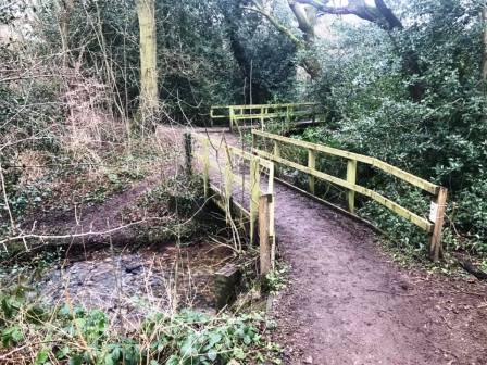
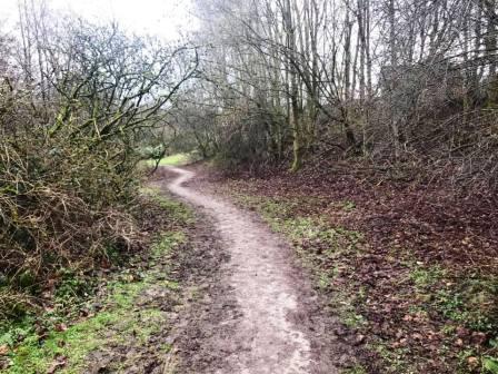
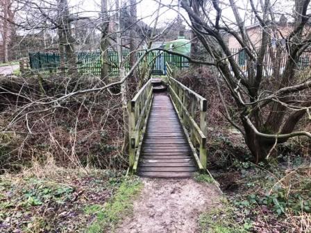
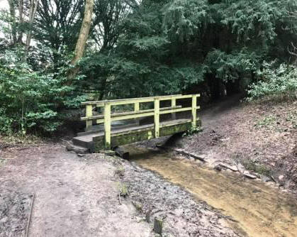
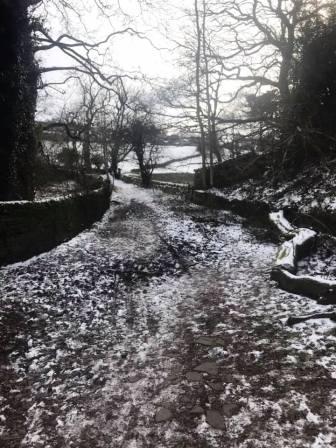
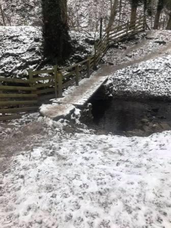
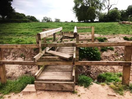
Very shortly, turn left down some steps to cross a wooden footbridge, then climb up the other side of the wood. Turn right onto a good path and follow alongside the wood out onto Dorchester Way. Continue ahead onto another path. There is soon a sharp right, then continue to follow the meandering path. After a wooden footbridge is crossed, turn immediately right over a second footbridge. Then follow the obvious path through the woods, avoiding the occasional temptation to veer right onto a residential road.
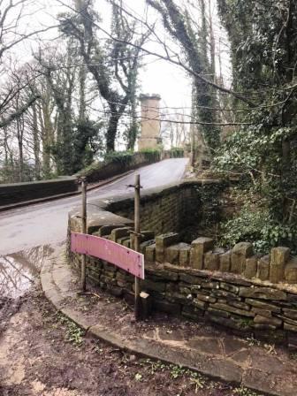
At the end of the path, it swings sharp left to cross a third wooden footbridge, then climbs a ramp road past some green silos, and up to the main Manchester Road.
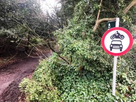
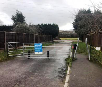
Cross over Manchester Road and straight down a public footpath, marked with a "No motor vehicles" roadsign.
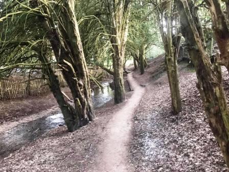
After the track swings around to the left, the path splits into two. Ignore the obvious (and muddy) path that is signed "Public footpath only", but instead veer left to follow a smaller path through the woods on the left-hand side of the stream.
After crossing a small wooden footbridge, this eventually leads out onto Tytherington Drive. Cross directly over this road into Salisbury Place, which has a small cluster of trees and a brook in its centre. Continue to the other side of Salisbury Place and enter into the fields (original site of Macclesfield Rugby Union Football Club), turning left onto the Middlewood Way path.
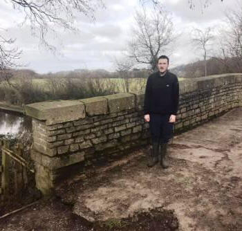
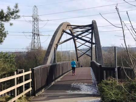
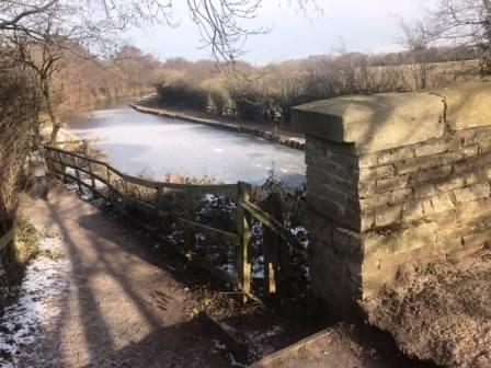
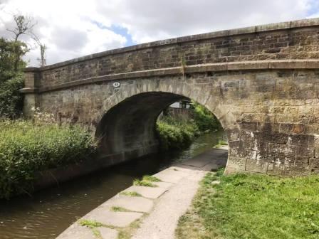
Walk along the Middlewood Way path and over the Silk Road footbridge. On the other side of the footbridge, bear right off the Middlewood Way to reach the canal at a stone bridge, very close by.
On the other side of the footbridge, bear right off the Middlewood Way to reach the canal at a stone bridge, very close by. Pass over the bridge then continue straight ahead on the track towards Kerridge.
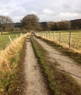
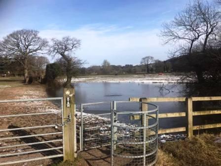
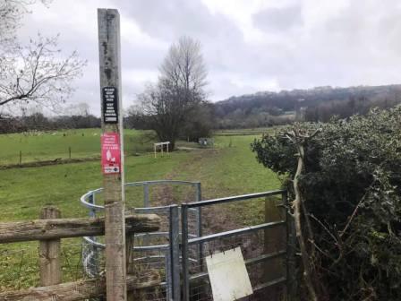
After about a quarter of a mile, public footpaths lead off on both sides of the track at a crossroads. Turn left to follow the footpath north towards Kerridge. These fields can get very muddy!
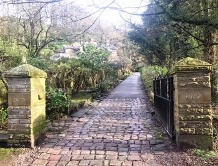
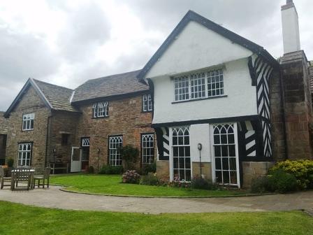
The footpath continues through several fields, and crosses a road. When it meets a track, turn right to head up to the driveway entrance to Endon Hall.
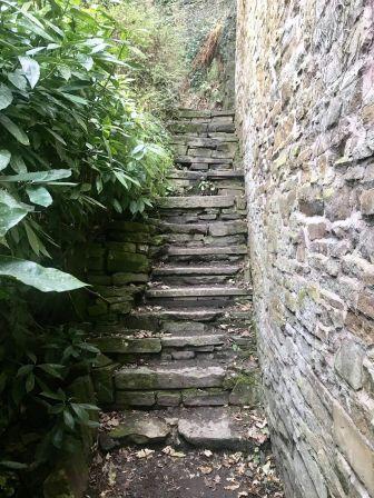
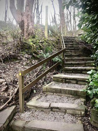
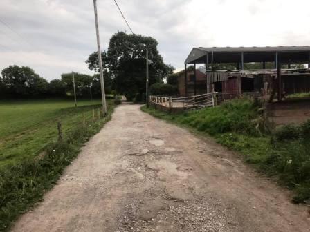
At the end of this track, you come into a small cluster of buildings. Almost directly ahead is a narrow alleyway path with a public footpath sign. This soon turns into a stiff climb up a steep flight of stone steps.
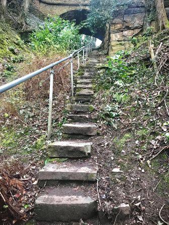
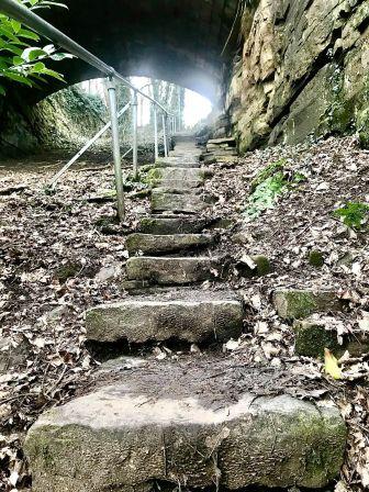
As a child, I was always told this was "Jacob's Ladder" by my father, though I have been unable to unearth any other evidence of that name! The stairway climbs under a viaduct that carries Windmill Lane above, and then the path doubles back to join the road.
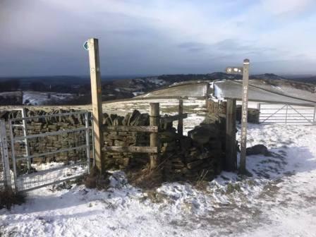
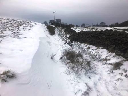
Turn left (south) along the road for a few yards before bearing left up a track, marked by a public footpath sign. This passes some buildings then turns sharp left and heads up more stairs to the ridge. Turn right onto the ridge path in the direction of the summit - but not all the way; we will descend on the eastern side of the hill before the summit. (You can add in an optional 'spur' to take in the narrow ridge and the summit trig at this point of course).
There is a junction of footpaths just ahead of the main ridge ascent to the summit. From here, follow the Gritstone Trail direction to start descending down the left side of the ridge.
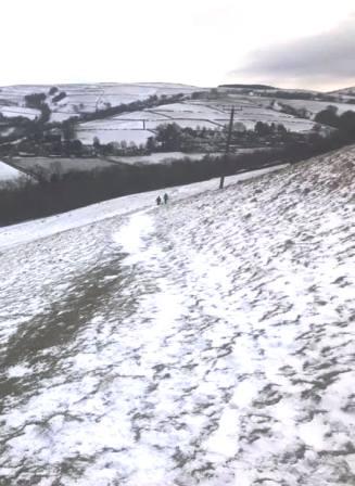
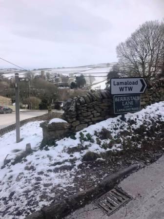
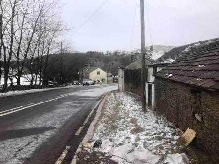
Take care on the initially steep and potentially slippery descent. The walking becomes much easier on good wide paths into the village of Rainow. Cross the main road and head up the access road for the Lamaload reservoir, but almost immediately bear right to continue on the Gritstone Trail route.
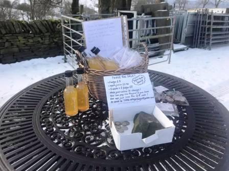
At a crossroads of public footpaths where the Gritstone trail route turns sharply right, take the path going more ahead and slightly to the right. This leads to Hordern Farm, and if you're lucky, the honesty box shop might be out where you can purchase some local apple juice and delicious homemade fudge. The fudge is made by Chloe Wallace at the farm and is very highly recommended.
After walking through the farmyard, look for a gate and a public footpath veering off to the left. This is the route ahead; do not continue on the main farm road.
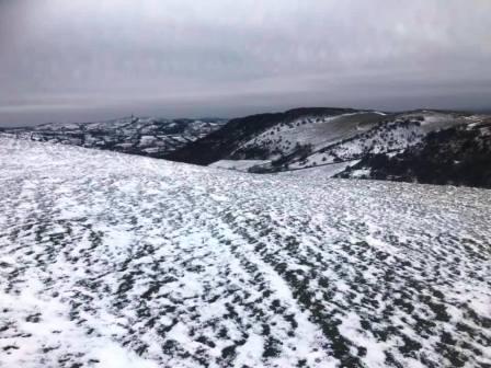
The route now progress through higher and bleaker terrain as you approach Walker Barn and Macclesfield Forest. At a fork in the paths, take the left option to contour around Gulshaw Hollow before swinging sharp right and uphill to Walker Barn.
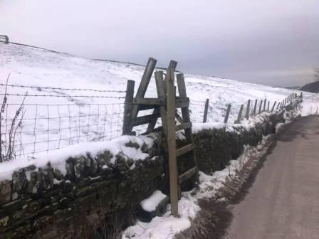
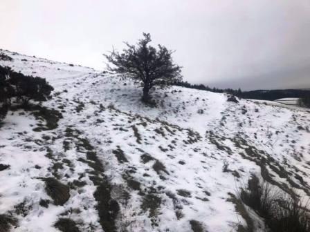
Sadly the old Setter Dog pub at Walker Barn closed many years ago, but refreshments may be available at the nearby Tegg's Nose tearoom, a diversion of about half-a-mile each way. From Walker Barn, head into Crooked Yard Lane for a few yards before climbing a steep ladder stile on the left, and into a sloping field.
The footpath continues on a mostly zero gradient after an initial gentle climb. At Warrilowhead Farm, climb the stile in the stone wall to get onto the path on the right-hand side of the farmyard. Continue on this path as it climbs gently to Hacked Way Lane.
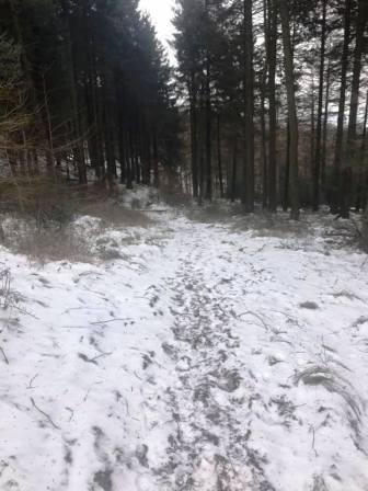
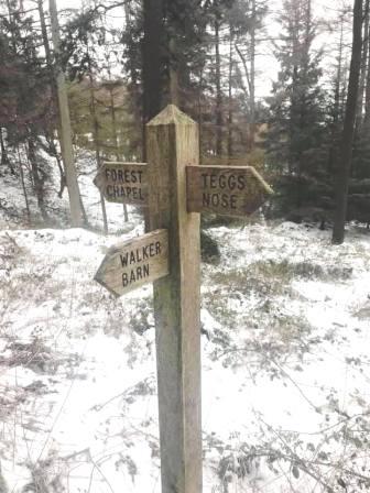
Cross almost directly over Hacked Way Lane to pick up another public footpath, this time entering into Macclesfield Forest. At the signpost, turn left towards Forest Chapel, and at the next path junction bear right to continue down the main path in the forest.
The path joins the road towards Langley. When the Leathers Smithy pub is reached on the right, turn left to walk across the dam at the head of Ridgegate Reservoir.
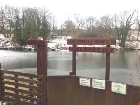
After dropping from the end of th dam, turn right onto the Gritstone Trail path for a short distance, before turning left onto a public footpath over to Mosslea Farm. Turn right onto Cock Hall Lane for about 500m, then left onto another public footpath to walk partly around Langleypool Fishing Club. At Ridge Hill, turn right to follow the road down towards Sutton Lane Ends. Cut the corner by bearing left into Judy Lane. At the main village centre, turn right at the crossroads and then left to follow a public footpath beside a small river.
The footpath emerges into the grounds of Sutton Hall, and we bear left to follow an access road down to Bullocks Lane. Turn right, just past the main entrance to Sutton Hall and turn left onto the canal towpath, heading in a south-westerly direction. The canal passes Lyme Green village on the opposite bank, then Lyme Green retail park on the immediate right.
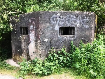
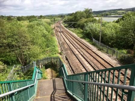
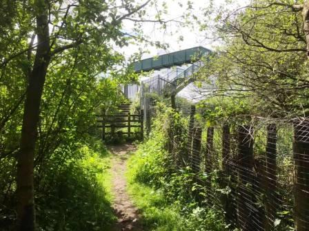
Exit the canal at the bridge at Gaw End Lane. Walk past the World War II pillbox and cross the footbridge over the mainline railway tracks and into Danes Moss.
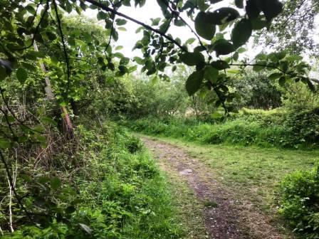
Follow the path until an obvious junction of paths marked by a white post. Prior to this, there appear to be possible diversions to the left; ignore them - wait until you see the white post and a clear path going off to the sharp left.
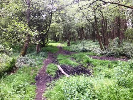
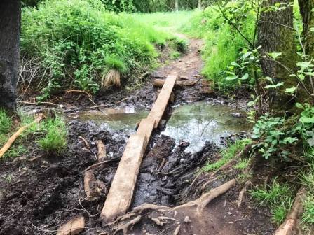
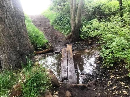
Follow the the trodden path as it weaves its way through the woods. When it meets a more substantial path at a kind of T-junction, turn left, and then almost immediately right over a couple of planks.
Continue forward, and another rudimentary plank crossing is there to help you over a muddy/boggy section, but take care if it is wet!
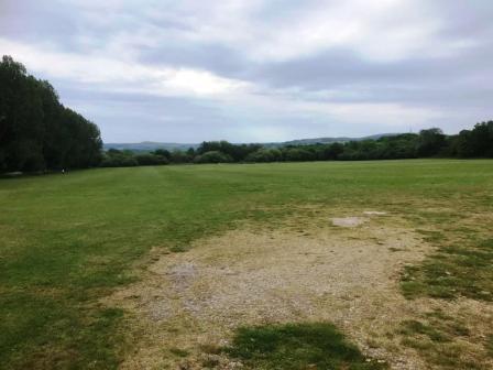
Emerge onto the playing fields area and aim for the changing room and shower block, and then onto the main Congleton Road A537. Cross over the main Macclesfield-to-Congleton road and turn right to walk towards Macclesfield town centre.
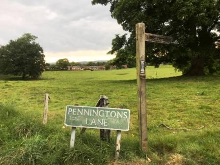
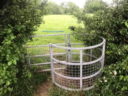
Turn left into Penningtons Lane, which is a tarmac residential road at this end, but later becomes a rough farm track and not recommended for driving! Follow the lane past Little Bailey Riddings Farm on the right then the farm buildings on the left. Turn right into Gawsworth Road but then almost immediately left through a kissing gate into a field.
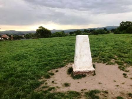
The path on the ground keeps to the left of the field, but veer right to climb up to the summit of the small hill to take in the only trig point on the route. This is TP5093, nicknamed mischievously as "Great Weston Fell"! Head down to a gap in the trees at the botto, of the field. Avoid the kissing gate in the corner as this area is usually badly waterlogged.
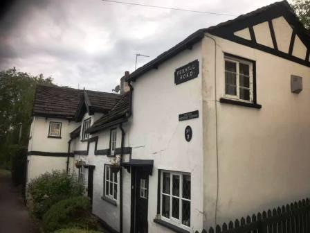
After passing a pond on your left, continue to follow the path. Head towards the wooden footbridge with stiles which is now visible ahead. After crossing the bridge, continue ahead to the kissing gate out onto Pexhill Road.
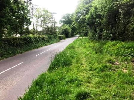
Turn right to walk along Pexhill Road towards Broken Cross. Much of this section does not have a pavement, but there is a faint path running through a wide grass verge for a considerable distance, so you don't need to take your chance with fast vehicles and blind bends!
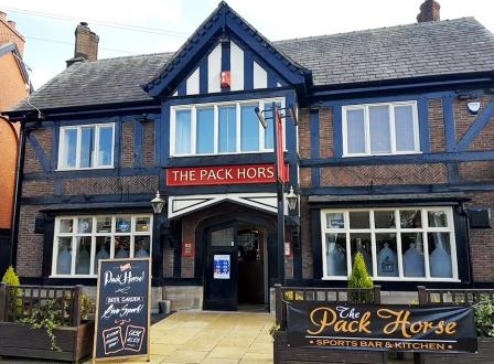
As you approach Broken Cross, look out for the beer garden behind the Pack Horse pub on your left. If it's open, why not treat yourself to a pint? There is also the Bull over the road. The route of this walk actually turns right down Princes Way before Broken Cross or either of the two pubs! Then you turn left and walk down the meandering Cherryfields Road - which becomes Springfield Road, then leads back to Merebrook Road.
|
|
|