.jpg)

|
|
|
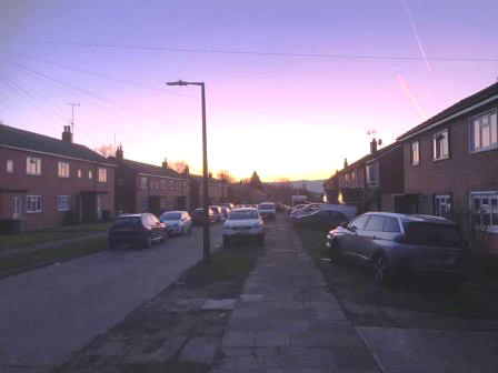
Route description & photos Start anywhere on Merebrook Road (SK11 8RH). Limited on-street parking available. Walk to the top end of Merebrook Road and over onto Colville Road. Cross Chester Road onto Maxfield Close and walk to the end (behind St Luke's Church).
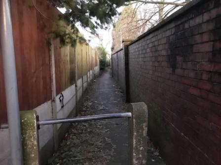
Turn left into a long narrow ginnel, following this out onto Dalesford Crescent. Bear right to walk towards Fallibroome Road, then right again, and left into Fallibroome Close. Enter another ginnel to walk through to Camborne Avenue on the Greenside Estate. At the end, turn left, then right and right again up a few steps. Turn left to follow a long greenway running between the backs of two rows of residential houses.
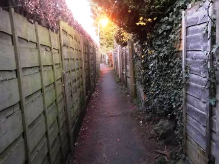
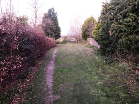
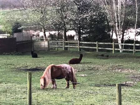
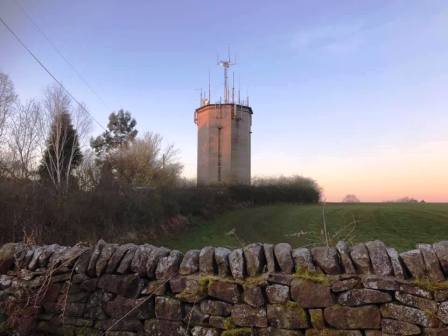
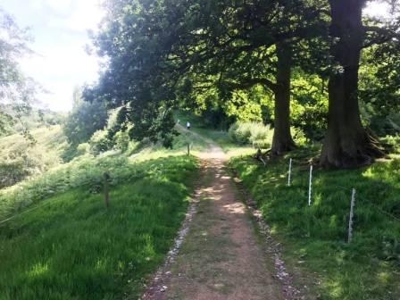
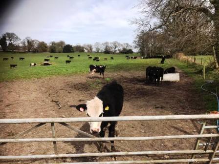
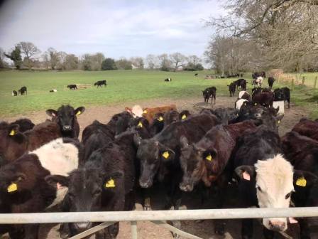
Continue straight on through more narrow ginnels, eventually emerging onto Newquay Drive. Continue onto Whirley Road, turning right to walk past a small farm on your left. Turn left through a kissing gate to walk along a straight footpath across the common land at Longmoss. Continue onto the path between two barbed wire fences. Turn right at the end and follow the path around a few corners onto a track.
Continue on the track, looking out for a few steps on the right, leading to a narrow path up to Longmoss Top.
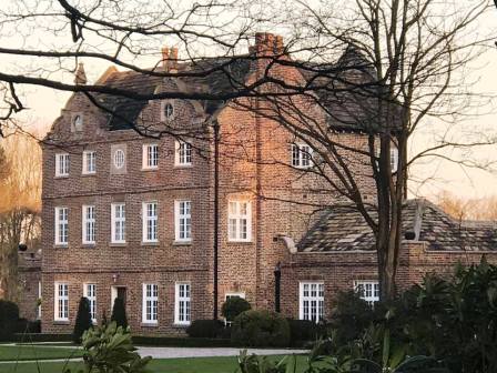
At the end of the path, turn left into Whirley Road, and follow down to Whirley Hall. Turn left to follow the short distance to Whirley Hall, then turn right into Wrigley Lane.
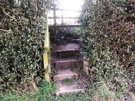
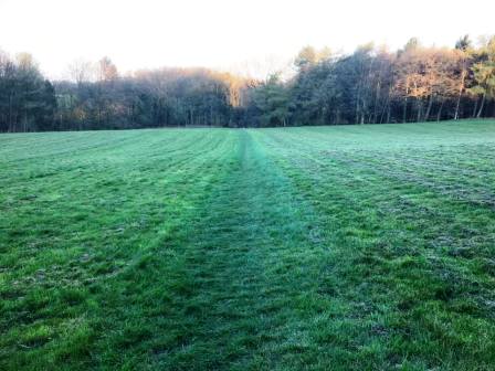
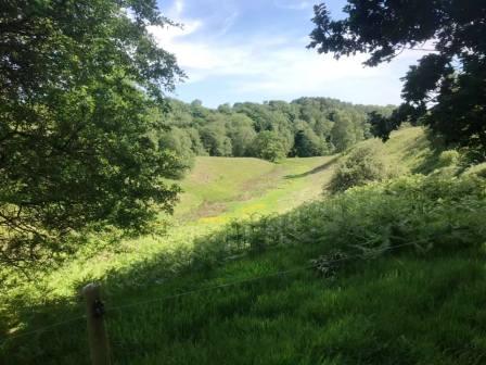
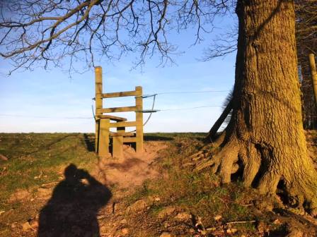
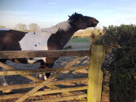
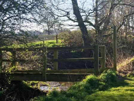
A short distance up this road, look out for a stile into a field on the left. At this point, cross the stile, and walk across the public footpath across the back of Whirley Hall estate towards a bluebell wood. Continue on the lovely path through the wood. emerging out onto lofty field with south-facing views at Highlees.
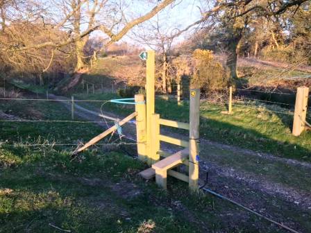
At the end of this field, bear left onto a well-defined track, following this a short distance to a stile, above you to the right.
Cross the stile and follow the path around the right-hand boundary of the field.
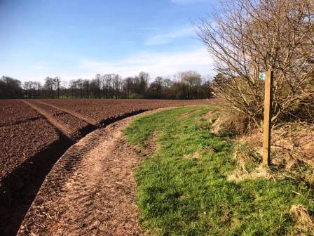
At the bottom, cross another stile and turn right onto a farm track. This leads out onto a country lane (Birtles Road), onto which you turn right. Almost immediately, turn left into another field, which after an initial rise, slopes gently downhill. This continues into another beautiful wooded path, all the way through to Hocker Lane.
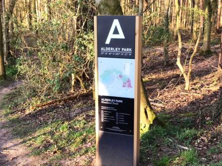
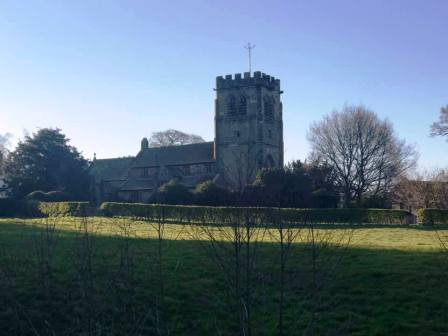
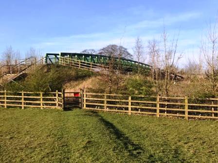
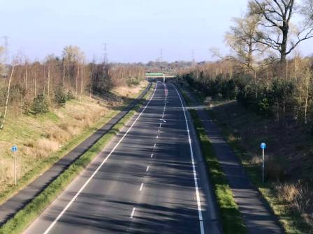
Turn left onto Hocker Lane (track) and follow all the way to its end. This passes to the north of Alderley Park and emerges at the village of Nether Alderley. Turn left onto the main road, and follow a short distance down to a road junction. At the junction, follow straight on, onto a public footpath. This passes behind the church and heads towards the A34 bypass.
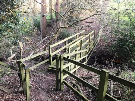
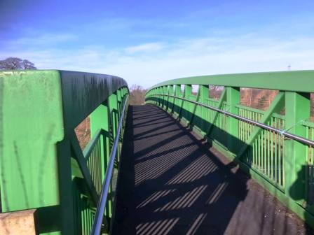
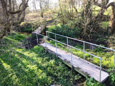
A modern and substantial footbridge can be seen ahead, and that is where you will cross the busy A34 bypass.
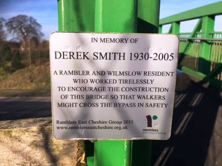
The bypass was constructed thanks to the campaigning of renowned local rambler Derek Smith, and a commemorative plaque is displayed on the bridge.
These photographs were taken at the start of the 2020 Covid-19 lockdown, and this normally busy road was eerily quiet in what would normally be rush-hour period.
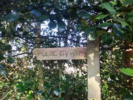
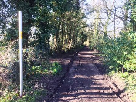
On the other side of the bypass, the footpath continues past Heawood Hall to Mere Farm. Shortly after, turn right into Stubby Lane, a public byway.
Follow Stubby Lane for its entire length to the A537 Macclesfield-Knutsford main road. Turn right, and quickly left, towards Astle Farm.
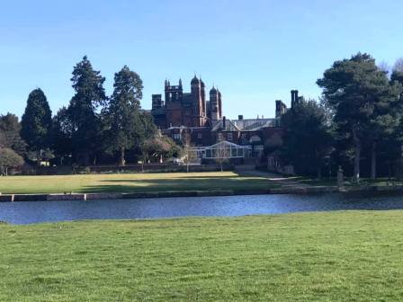
After the farm buildings, bear left to follow the footpath over to Mill Lane Farm. Walk a short distance along Mill Lane, then turn left into a PROW across Capesthorne Estate.
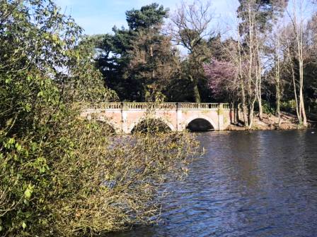
The route now heads in an easterly direction direction, passing on the other side of the water from Capesthorne Hall. At the end of the path, cross directly over the road to enter into the Redesmere area.
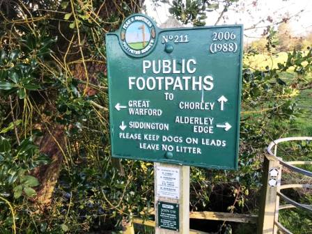
Follow the path around the north and east shores of Redesmere to the sailing club entrance. Continue on the the public footpath through the woods, bearing left to meet Fanshawe Lane at Sycamore Farm. Almost directly across the road, pick up another public footpath to cross Hills Green Farm to Siddington.
Follow the paths and tracks southwards through Henshaw Hall Farm to Marton Lane.
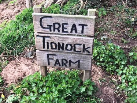
At Marton Lane, turn left. Walk for a short distance, then turn right to continue south by the side of Tidnock Wood. When the path meets a track going across, turn left in order to follow it down to Great Tidnock Farm.
At Great Tidnock Farm, the PROW passes through the farmyard, and continues on tracks toward Tidnock Hill
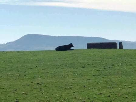
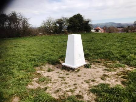
The trig point on Little Tidnock Hill will shortly be seen to the right, with Bosley Cloud looming above in the background.
The long access track is now followed all the way to the A536 Macclesfield-Congleton road. At the main road, turn left (north) and walk for a few hundred yards.
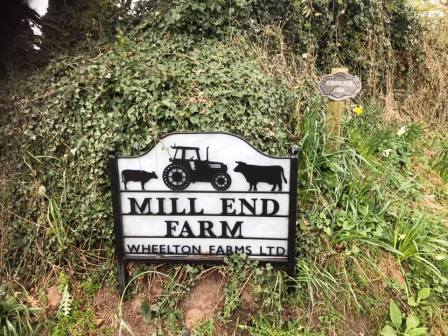
At Highlane, turn left to follow the PROW up to Mollards Farm. The main PROW passes through the farmyard here, but the landowner has installed an alternative route around the boundary. It is quite narrow between tree branches and an electric fence! On the other side, Mill End Farm is passed through, following which a long winding access track is followed all the way up to the Gawsworth end of Marton Lane.
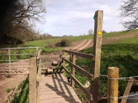
Continue straight over onto another public footpath. Turn right at the T-junction of paths in order to reach Dark Lane at Newbarn, Warren. Turn left for a section of road walking along Dark Lane, until a bridge stile is seen on the right. Use this to enter the field and begin to climb up to Underbank Farm.
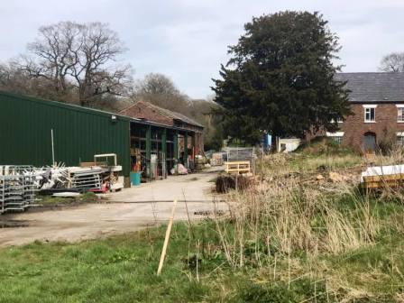
After passing through the farmyard, this becomes a metalled road which runs parallel to Gawsworth Road and Pexhill Road, disecting the two. Near to this road's end, it meets New Farm at a sharp bend. Continue onto the path into New Farm and bear left towards the trees.
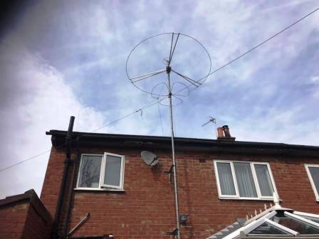
After the small wooded area, the land gains height suddenly, rising to a trig point on the brow of the hill. Nicknamed "Great Weston Fell" by mischievous radio amateurs in Macclesfield, this is an occasionally popular spot of portable ham radio operations! Local hills including the distinctive Shutlingsloe now come into view.
Continue onto Gawsworth Road, turn left, and then right into Earlsway. Walk down past the shops and abandoned pub, before cutting across to Merebrook Road to complete the route.
|
|
|