.jpg)

|
|
|
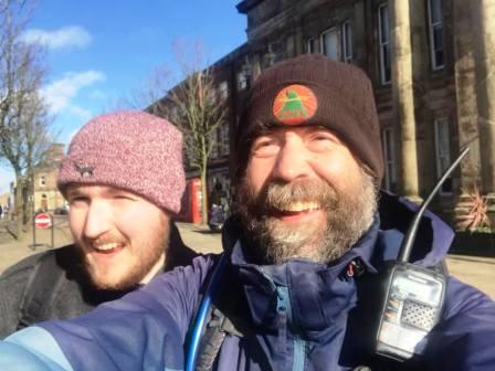
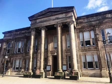
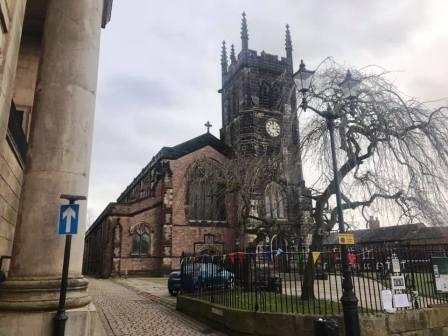
Route description & photos This route begins in Market Place in Macclesfield town centre, by the Town Hall and St Michael's Parish Church (SK10 1AG).
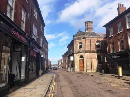
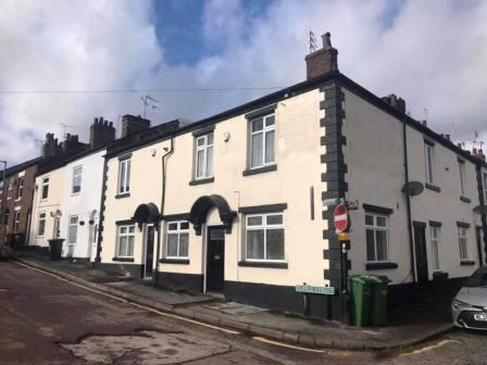
Walk down Jordangate to the traffic lights at the top of Hibel Road. Turn here, and then left into Station Street. This street is so named because it was the location of the old Hibel Road station that closed in 1960.
A more recent closure - but even so, still many years ago - was the Plough Inn pub on the corner of Station Street and Pearle Street. This was my first 'local' and i used to love playing pool there on a Friday night, and having a pre-match pint in there before Macclesfield Town home fixtures.
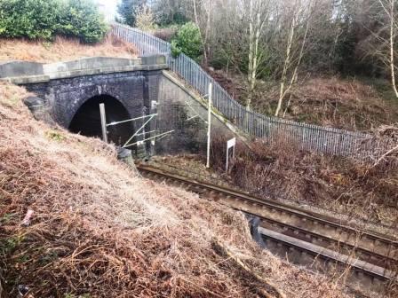
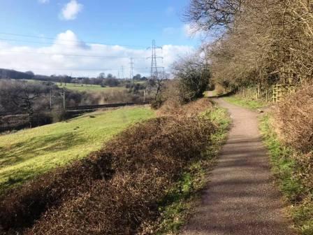
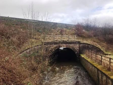
A little further down, and on the other side of the road, you can see where the mainline railway disappears into the Macclesfield tunnel, before it emerges on the other side into the Bollin Valley. At the end of Station Street, turn briefly left but then cut right across a car park through to Spring Gardens. Turn right and drop to the end of the street (cul-de-sac).
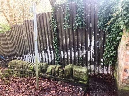
At the dead end, on the right there is a narrow passageway marked by a public footpath sign. This drops down then turns sharp left to continue a gentle descent to the Middlewood Way footpath.
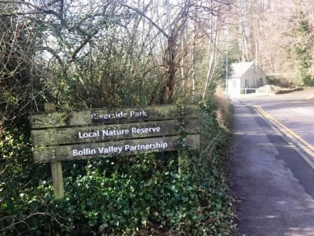
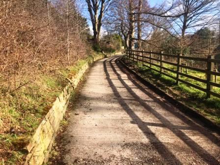
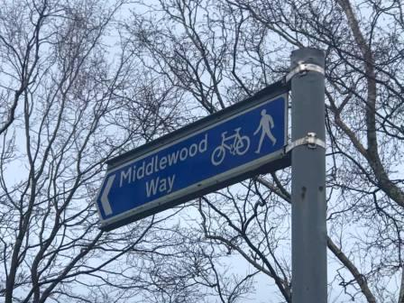
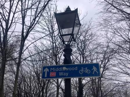
At the Middlewood Way, you are briefly at a point also visited later by the return route. We do not stay with the Middlewood Way though at this point, but turn left on a good path through to Summerlea Close. When I lived in this vicinity as a 16 year old, this was no more than a gravel track, but it has since become a housing development with a properly surface road. Summerlea Close runs out to the bottom of Beech Lane. Turn right to walk over the River Bollin bridge, and then left into the main entrance for Riverside Park, the main access point for the Bollin Valley.
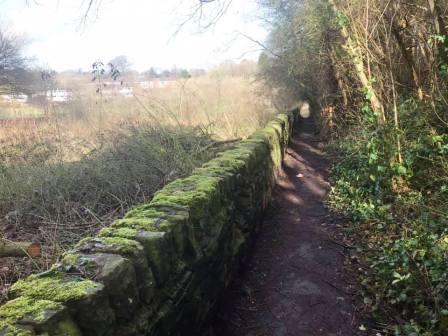
Walk through the car park to the small tunnel underneath the railway, but do not pass through the tunnel on the Bollin Valley main path. Instead, turn right up a flight of steps to the back corner of Beech Hall independent school.
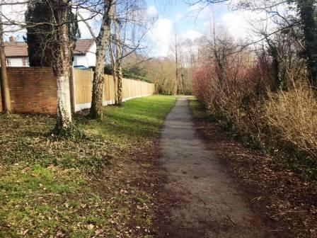
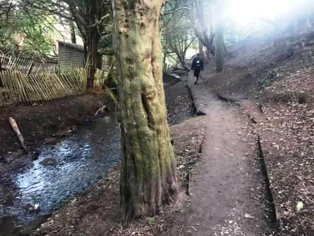
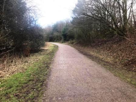
Continue on the footpath high on the right-hand bank of the Bollin Valley.
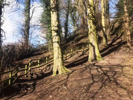
Ignore all the gates on your right until the one that is obviously the "end" - when the path turns sharply left and downhill. Pass through the gate and then continue in a similar direction until the path swings sharp right into Tytherington Wood.
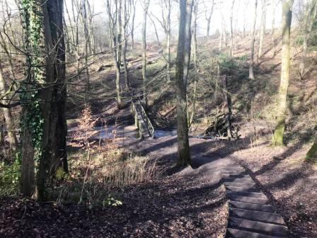
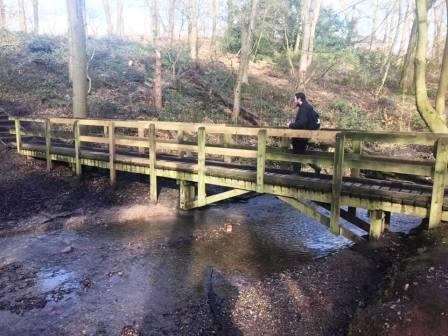
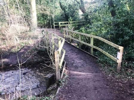
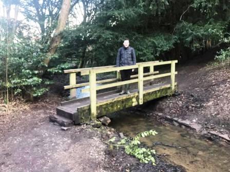
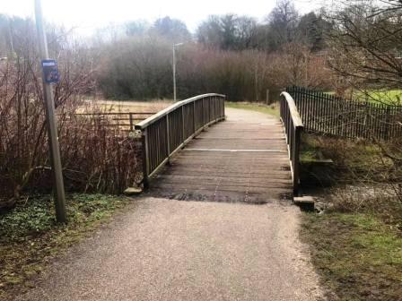
Very shortly, turn left down some steps to cross a wooden footbridge, then climb up the other side of the wood.
Turn right onto a good path and follow alongside the wood out onto Dorchester Way. Continue ahead onto another path. There is soon a sharp right, then continue to follow the meandering path. After a wooden footbridge is crossed, turn immediately right over a second footbridge.
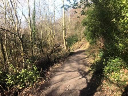
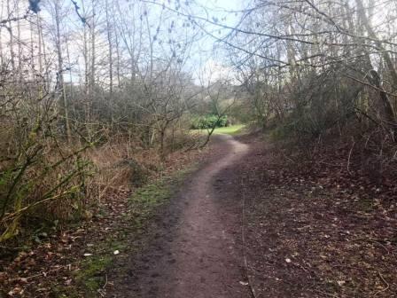
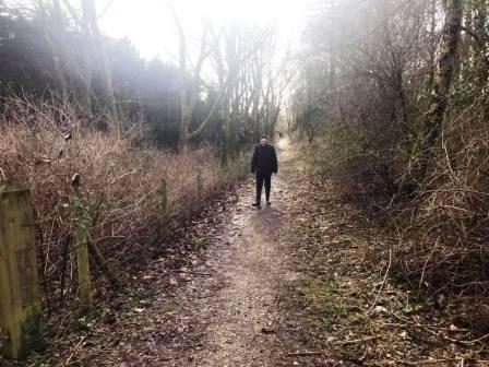
Follow the obvious path through the woods, avoiding the occasional temptation to veer right onto a residential road.
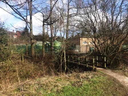
At the end of the path, it swings sharp left to cross a third wooden footbridge, then climbs a ramp road past soem green silos, and up to the main Manchester Road.
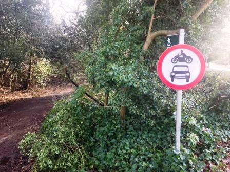
Cross over Manchester Road and straight down a public footpath, marked with a "No motor vehicles" roadsign.
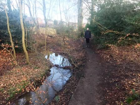
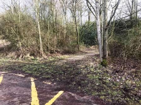
After the track swings around to the left, the path splits into two. Ignore the obvious (and muddy) path that is signed "Public footpath only", but instead veer left to follow a smaller path through the woods on the left-hand side of the stream.
After crossing a small wooden footbridge, this eventually leads out onto Tytherington Drive. Cross directly over this road into Salisbury Place, which has a small cluster of trees and a brook in its centre.
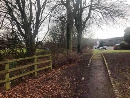
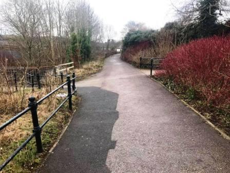
Continue to the other side of Salisbury Place and enter into the fields (original site of Macclesfield Rugby Union Football Club), turning left onto the Middlewood Way path.
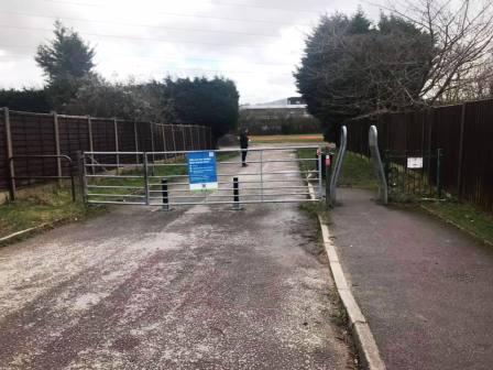
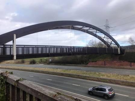
Walk up the Middlewood Way and turn right to cross the footbridge over the Silk Road.
On the other side of the bridge, look for a sharp right turning onto another footpath.
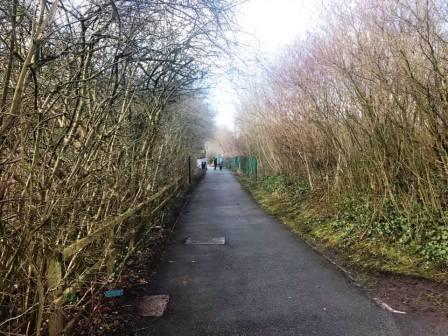
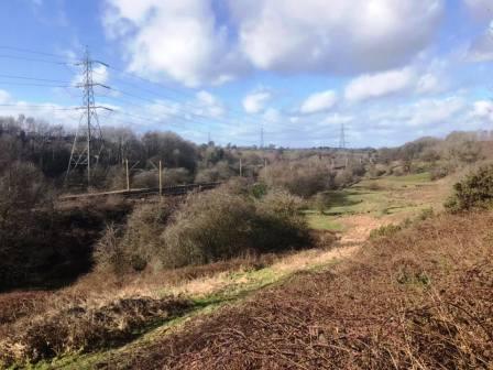
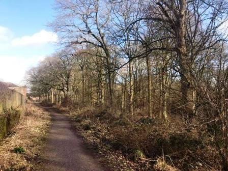
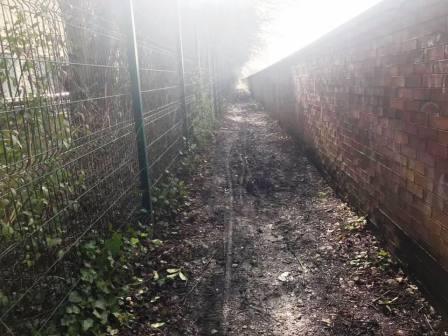
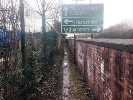
This path runs beside the Silk Road for nearly 1km, through a narrow passageway sandwiched between the Hurdsfield Industrial Estate and the dual carriageway.
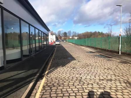
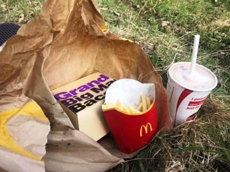
The passageway footpath ends at the roundabout junction. Cross over Hulley Road into the Silk Retail Park, where you will find a McDonalds for your lunch!
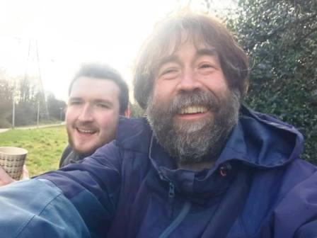
Our usual routine is to order on the McDonalds app and wait for the food to be brought out to us in the car park. Then we take our meals over the Silk Road to the Middlewood Way, turn left into that path towards Macclesfield and find some space in the grass to sit down for our lunch.
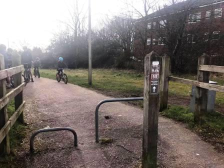
The walking resumes by heading back towards Macclesfield on the Middlewood Way. This, our third stint of the route on the Middlewood Way takes us right into Macclesfield.
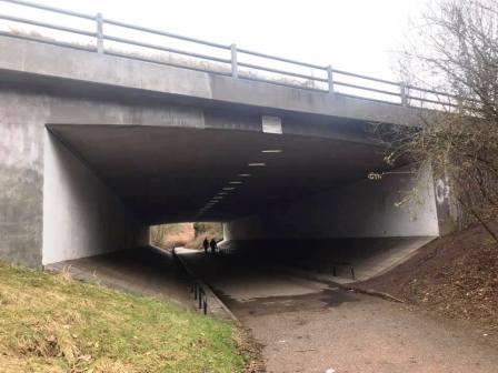
After crossing the River Bollin on a wooden footbridge, the path swings left through an underpass under the Silk Road. You'll have just passed a bit at which you were, very briefly, earlier in the walk.
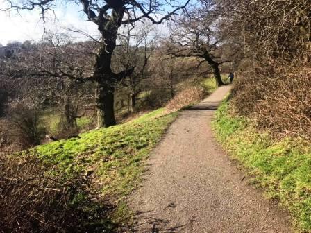
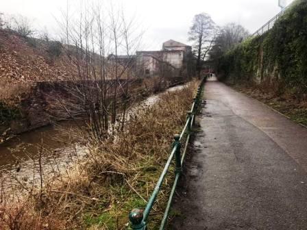
On the other side of the underpass, you are walking on a good path alongside the River Bollin.
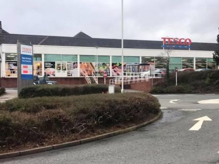
This path brings you out beside the large Tesco supermarket for Macclesfield. (There are several Tesco stores in the town, but this is the one known as "Big Tesco").
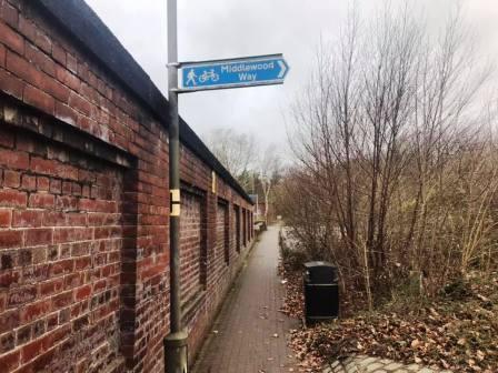
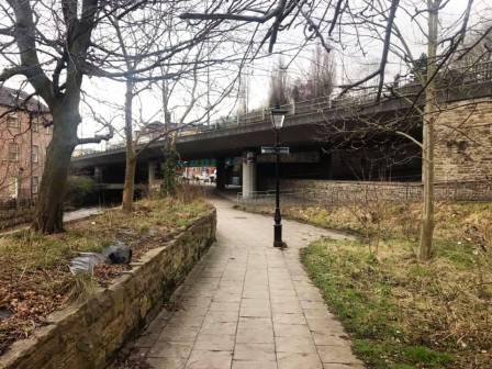
Continue past the petrol station and cross directly over the road. Turn right and follow a pavement immediately beside a tall wall. You are still on the Middlewood Way route at this point. Most Middlewood way signage here is pointing back the way you came, as this is near what is traditionally the start of the Middlewood Way. For us on this route, it is near the end!
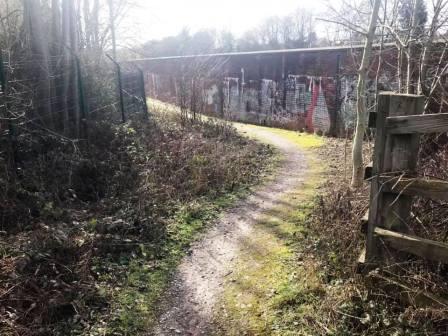
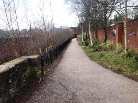
Turn left to follow yet another path that runs alongside the River Bollin. Various pieces of artwork can be seen on the wall on your right, most with some kind of local historical significance.
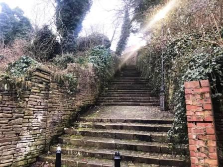
The path reaches the official start point of the Middlewood Way then continues back underneath the Silk Road towards Waters Green. There are three steep passageway routes back up to Market Place here, and any will work, but we will take the middle one - Step Hill (pictured below).
Step Hill tops out just behind St Michael's Church, which you then walk alongside to return to Market Place to complete the route.
|
|
|