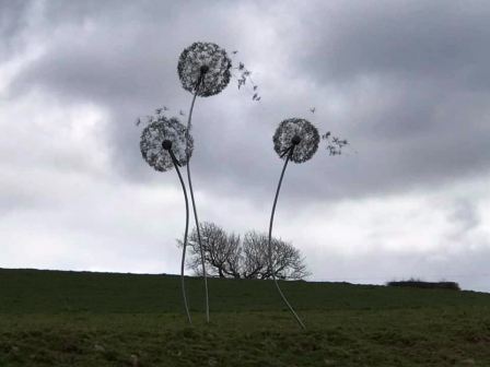
.jpg)

|
|
|
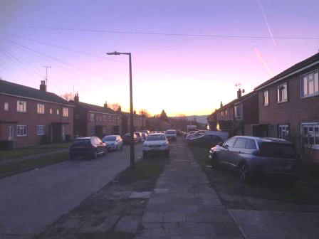
Route description & photos Start anywhere on Merebrook Road (SK11 8RH). Limited on-street parking available. Walk to the top end of Merebrook Road and over onto Colville Road. Cross Chester Road onto Maxfield Close and walk to the end (behind St Luke's Church).
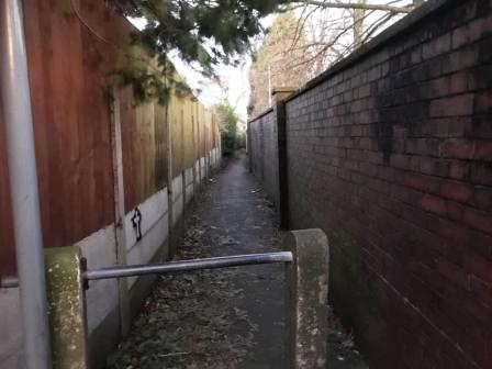
Turn left into a long narrow ginnel, following this out onto Dalesford Crescent. Bear right to walk towards Fallibroome Road, then right again, and left into Fallibroome Close. Enter another ginnel to walk through to Camborne Avenue on the Greenside Estate. At the end, turn left, then right and right again up a few steps. Turn left to follow a long greenway running between the backs of two rows of residential houses.
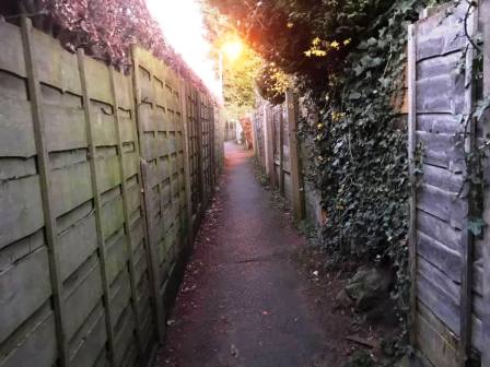
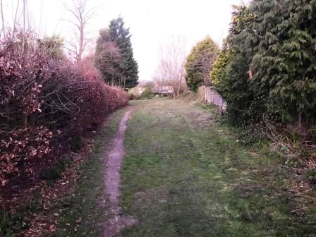
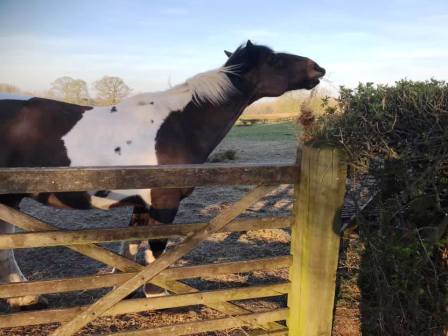
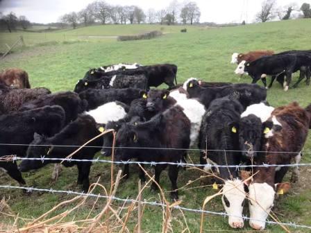
Continue straight on through more narrow ginnels, eventually emerging onto Newquay Drive. Continue onto Whirley Road, turning right to walk past a small farm on your left. Turn left through a kissing gate to walk along a straight footpath across the common land at Longmoss. Continue onto the path between two barbed wire fences. Turn right at the end and follow the path around a few corners onto a track.
Continue on the track, looking out for a few steps on the right, leading to a narrow path up to Longmoss Top.
At the end of the path, turn left into Whirley Road, and follow down to Whirley Hall. Turn left to follow the short distance to Whirley Hall, then turn right into Wrigley Lane.
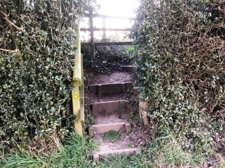
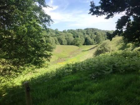
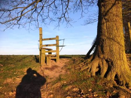
A short distance up this road, look out for a stile into a field on the left. At this point, cross the stile, and walk across the public footpath across the back of Whirley Hall estate towards a bluebell wood. Continue on the lovely path through the wood. emerging out onto lofty field with south-facing views at Highlees.
At the end of this field, bear left onto a well-defined track, following this a short distance to a stile, above you to the right.
Cross the stile and follow the path around the right-hand boundary of the field.
At the bottom, cross another stile and turn right onto a farm track. This leads out onto a country lane (Birtles Road), onto which you turn right. Almost immediately, turn left into another field, which after an initial rise, slopes gently downhill. This continues into another beautiful wooded path, all the way through to Hocker Lane.
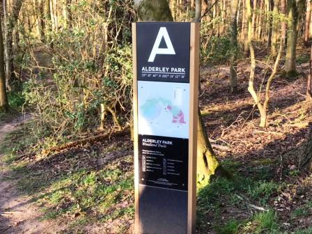
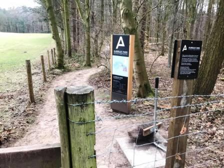
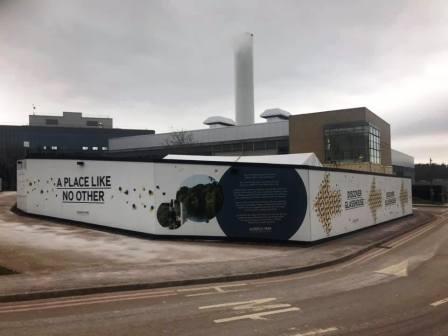
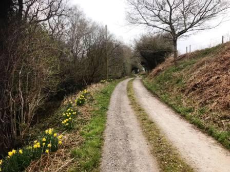
Turn left onto Hocker Lane (track) and follow this cobbled, privately maintained lane, down towards Nether Alderley. Look out of the left for the signs for the Alderley Park site. This is a business park, best known for Astra Zeneca, but there is a recent Bellway housing development on there as well.
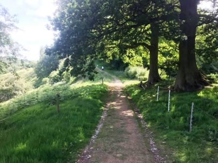
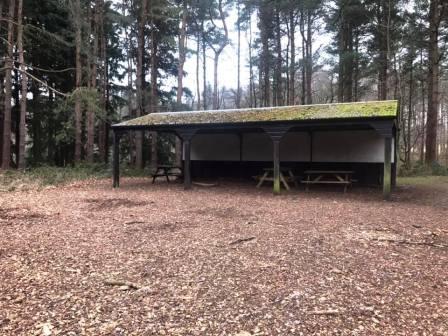
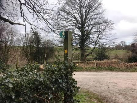
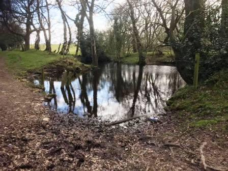
The site includes extensive woodlands and trails, which are open to the public. Turn into here and follow the obvious path down to the picnic shelter.
The picnic shelter here is a good place to stop for a break as it is the approximately halfway point on the circular route. If there are lockdown restrictions in place at the time of your visit, please remember not to have a picnic. Just have something to eat and drink instead.
Leave the picnic area by heading left on the track ahead.
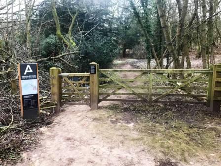
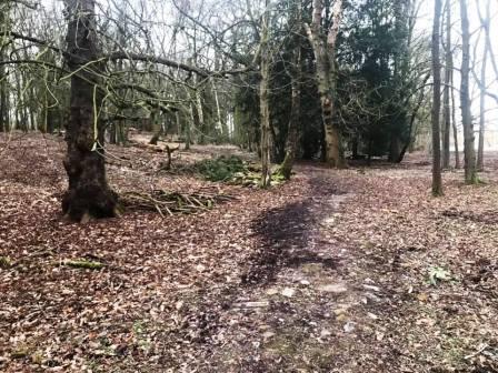
The usual trail path goes around the boundary of the site, close to or in the woodlands. However, at the time of writing there were building works causing footpath diversions through the main central car park for the site.
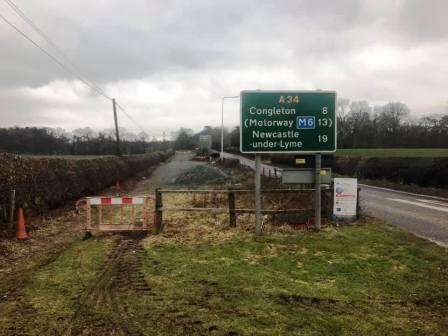
The diverted route continued down some steps beside a mini astroturf football pitch, and headed for the main vehicle exit onto the A34. It was possible to divert left to explore more of the woodland, but ultimately it is necessary to return to this point in order to exit the site.
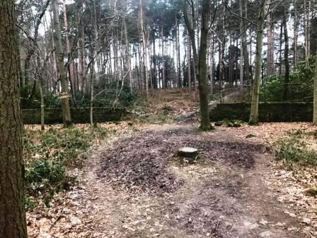
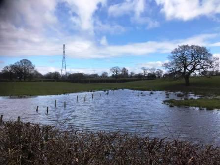
The photos below show some of the areas off to the side of the footpath route; it is necessary to return to the main route to exit onto the A34.
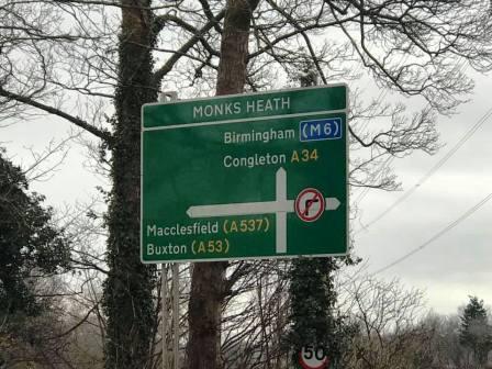
Turn left onto the A34 and cross over the Monks Heath crossroads (with the A537). On the other side, the mile or so of main road walking is actually more tolerable than might be imagined, as the path on the left-hand side of the road tends to stay some distance away from the road. When it passes through a gravel layby, it looks as though there might not be a route out at the other end. Rest assured, there is a grassy path there to continue ones progress as it weaves its way between the fly-tipped microwave ovens.
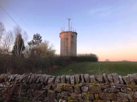
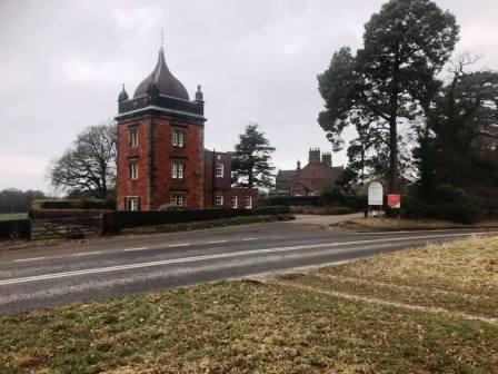
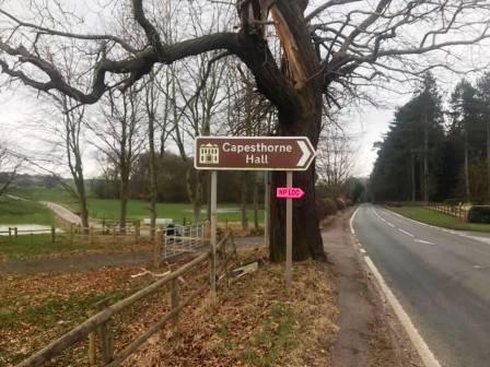
You will pass a distinctive tower on the right, marking the north part of the Capesthorne estate. The map seems to indicate a possible alternative to road walking here, by following the estate tracks for a distance. In reality, there isn't any access to them from this point, so just continue along the path on the left-hand side of the A34.
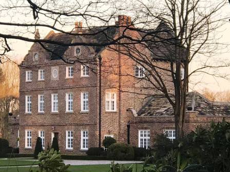
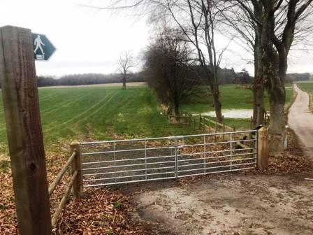
At the main entrance for Capesthorne Hall, turn left onto a public footpath, which initially follows a farm access road.
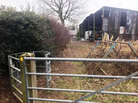
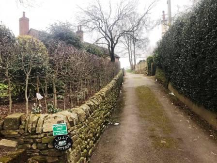
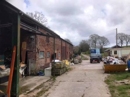
The path reaches, and passes through the yard for Lingards Farm. Turn right out of the farm onto a minor road, and then turn left into the access for Henbury Moss Farm, following another public right of way. At a junction, turn left to pass Lilly Cottage.
After Lilly Cottage, pass through a gate then immediately bear right. The target at the other side of this large grassy area is not visible for most of the route across, so drop to the lower parts of the field and pass close by two large trees to get the approximate direction.
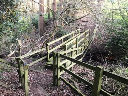
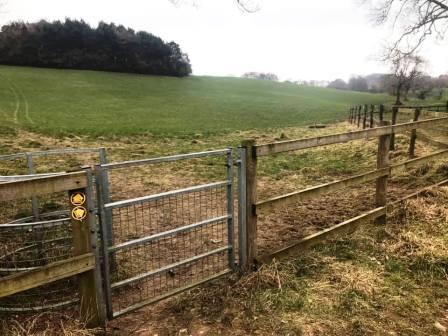
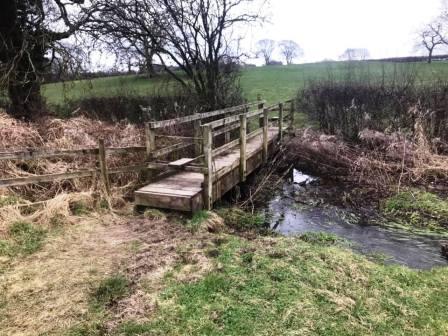
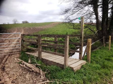
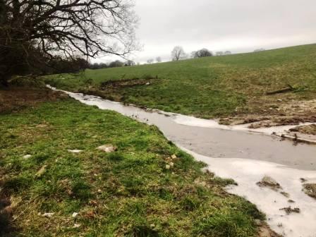
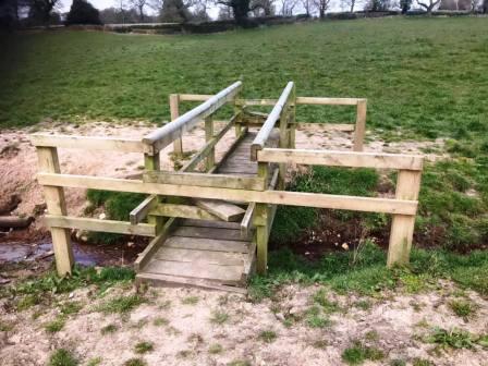
A wooden footbridge is crossed into Bearhurst Farm, then bear left to follow the fence line down to the road. The OS 1:25000 map suggests that the public footpath and exit onto Bearhurst Lane is about 100m from the fence, but in reality it is much closer. Stay close to the fence, and the stile onto the road is right in the corner of the field.
Turn right into Bearhurst Lane. Follow this around to a crossroads at Pexhill Road, which you go straight over into Dark Lane.
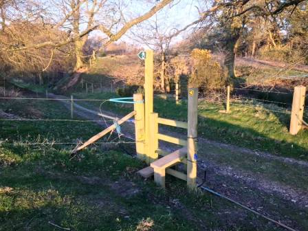
Walk down Dark Lane, until a bridge stile is seen on the left. Use this to enter the field and begin to climb up to Underbank Farm.
After passing through the farmyard, this becomes a metalled road which runs parallel to Gawsworth Road and Pexhill Road, dissecting the two.
Near to this road's end, it meets New Farm at a sharp bend. Continue onto the path into New Farm and bear left towards the trees.
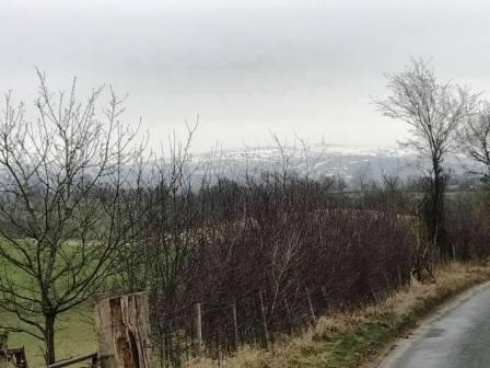
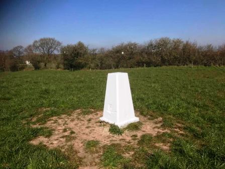
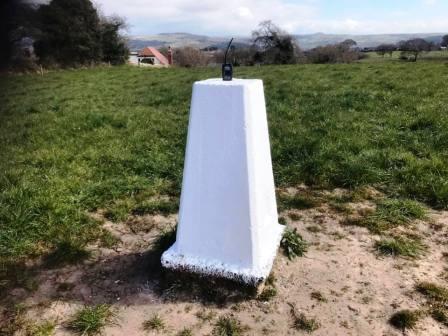
After the small wooded area, the land gains height suddenly, rising to a trig point on the brow of the hill.
Nicknamed "Great Weston Fell" by mischievous radio amateurs in Macclesfield, this is an occasionally popular spot of portable ham radio operations! Local hills including the distinctive Shutlingsloe now come into view.
Continue onto Gawsworth Road, turn left, and then right into Earlsway. Walk down past the shops and abandoned pub, before cutting across to Merebrook Road to complete the route. You can cut into the sideroads on alleyways on your right to walk through Weston Park, which may (or may not) be preferable to walking down Earlsway!
|
|
|