.jpg)

|
|
|
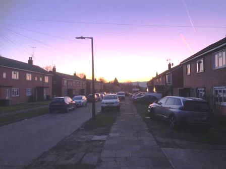
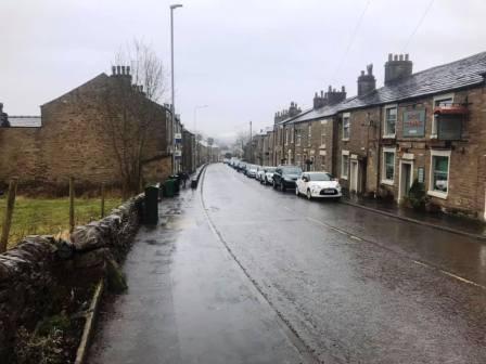
Route description & photos Start anywhere on Merebrook Road (SK11 8RH). Walk to the top of Merebrook Road and out onto Chester Road via Colville Road. Turn right towards Macclesfield. Look out for an opening in the wall on your left. Turn into a path, and then immediately right to walk on a good path more or less parallel to the road. This returns you back onto Chester Road down a few steps. Turn left into the Villas Estate and then right into The Uplands. Look for an open gate on your left leading into the cricket ground.
Walk along the path and then car park of the cricket club and exit the main entrance onto Victoria Road. Walk straight over into The Whitfields and head through the residential estate. Turn right into Bittern Grove "The Peanut" and out through an alleyway near its opposite end. Shortly after you emerge from the alleyway, turn right into Wren Close, and then quickly right again into another alleyway. This leads out onto Prestbury Road. Turn right, and then left into Bollinbrook Road. Walk about three-quarters down the length of this road, then turn right through a gateway into the cemetery. Walk across the cemetery to its entrance onto Westminster Road, opposite the Pack Horse Bowling Club.
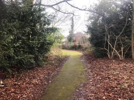
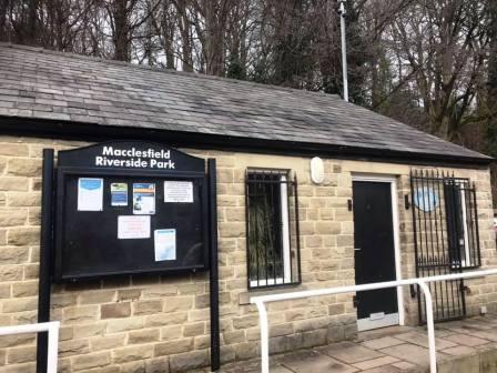
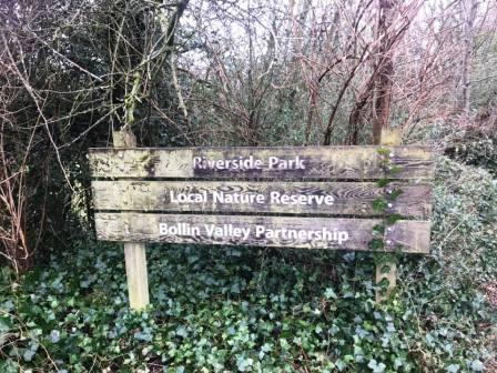
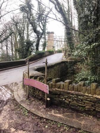
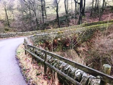
Pass to the left of the Pack Horse Bowling Club along Abbey Road before bearing right to walk down a ramp path into the Bollin Valley. Cross the footbridge and turn right onto the Riverside Park footpath.
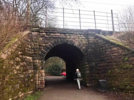
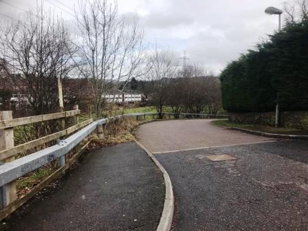
After passing under the railway viaduct, walk through the Bollin Valley Riverside Park car park to the road.
Cross over the main road, turn right over the bridge, and then left onto a track / public footpath.
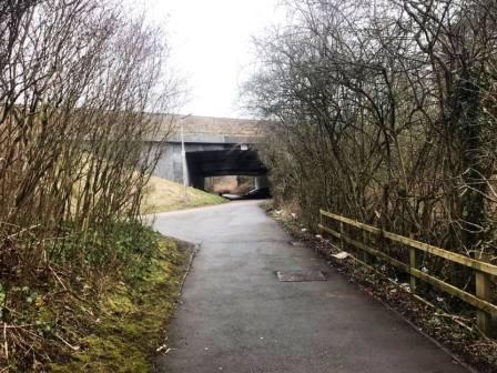
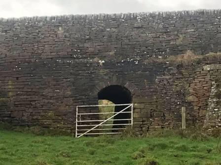
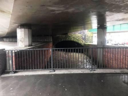
As the Silk Road A523 looms up ahead, turn left the follow the public footpath parallel to the dual carriageway. This footpath is the Middlewood Way route, formerly the line of the Macclesfield to Marple (via Bollington and Middlewood) railway line, closed by Dr Beeching in 1960. The path remains parallel to the Silk Road, and crosses over Brocklehurst Way as it does so. Continue on the path until it climbs up to the Silk Road footbridge, which you cross.
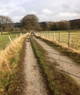
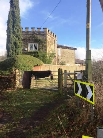
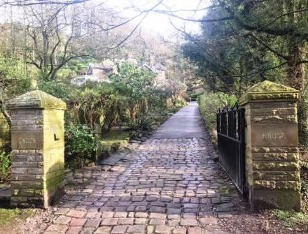
After the footbridge, descend the stairs. Ignore the sharp right turn path, but bear half-right to reach the canal, which is very close by. Cross over the canal bridge and continue straight ahead on a good track to Kerridge. The track bends sharp left before leading out onto a road. Turn right onto the road, which itself then turns sharp left. Stay with the road until the entrance to the driveway to Endon Hall appears on your right. This is also a public footpath, and this is the next part of the route.
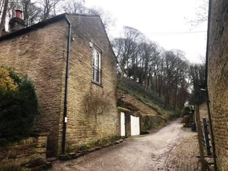
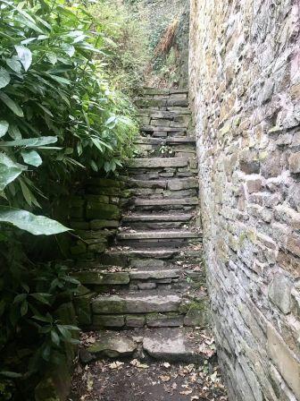
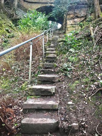
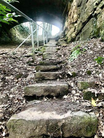
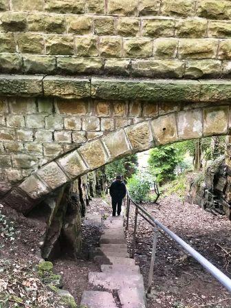
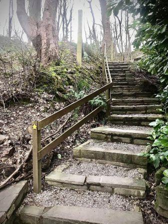
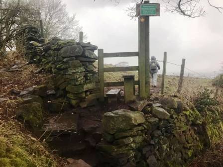
At the end of this track, you come into a small cluster of buildings. Almost directly ahead is a narrow alleyway path with a public footpath sign. This soon turns into a stiff climb up a steep flight of stone steps.
As a child, I was always told this was "Jacob's Ladder" by my father, though I have been unable to unearth any other evidence of that name! The stairway climbs under a viaduct that carries Windmill Lane above, and then the path doubles back to join the road.
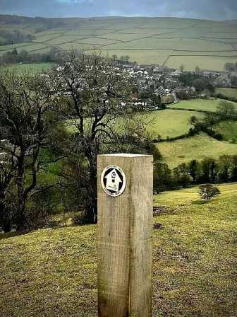
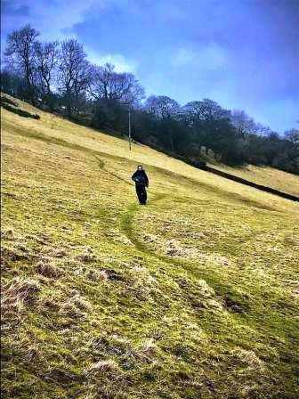
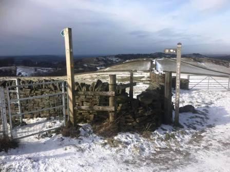
Turn left (south) along the road for a few yards before bearing left up a track, marked by a public footpath sign. This passes some buildings then turns sharp left and heads up more stairs to the ridge. Turn right onto the ridge path and walk towards the summit. Don't be too eager at this point though, as this route doesn't actually go all the way to the summit of Kerridge Hill. We bear left on the Gritstone Trail at the crossroads of paths by a junction of walls.
From here, follow the Gritstone Trail direction to start descending down the left side of the ridge.
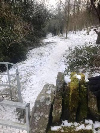
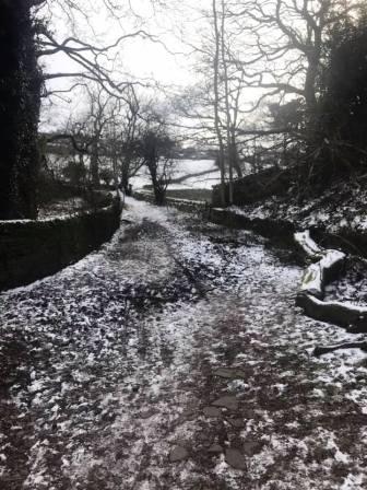
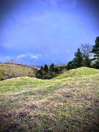
Take care on the initially steep and potentially slippery descent. The walking becomes much easier on good wide paths into the village of Rainow.
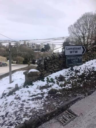
Cross the main road and head up the access road for the Lamaload reservoir, but almost immediately bear right to continue on the Gritstone Trail route.
At a crossroads of public footpaths where the Gritstone trail route turns sharply right, take the path going more ahead and slightly to the right.
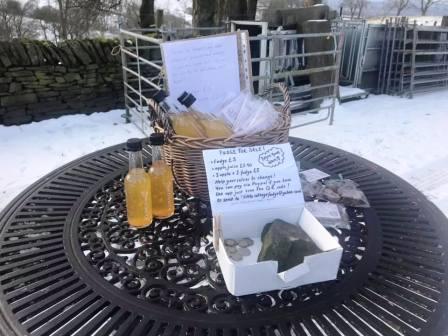
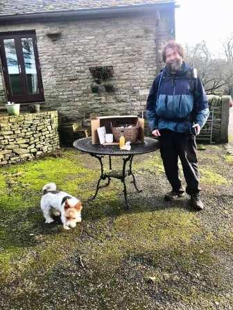
This leads to Hordern Farm, and if you're lucky, the honesty box shop might be out where you can purchase some local apple juice and delicious homemade fudge. The fudge is made by Chloe Wallace at the farm and is very highly recommended.
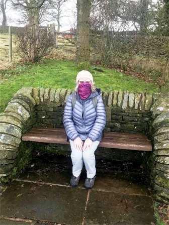
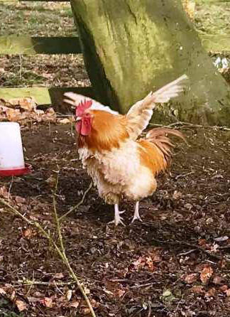
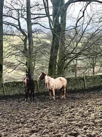
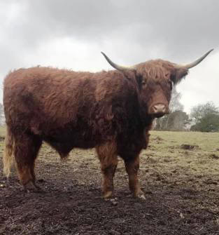
There are plenty of characters to meet at Hordern Farm! Above are a few we met on our visit. The little dog is incredibly friendly and well-behaved!
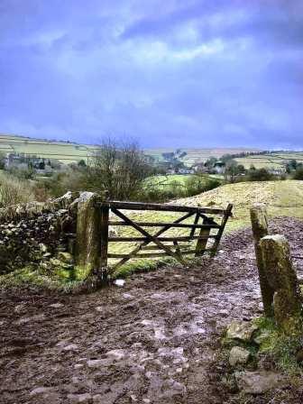
After walking through the farmyard, ignore the public footpath going off on the left, but continue on the main farm road, which bends around to the right after starting to descend.
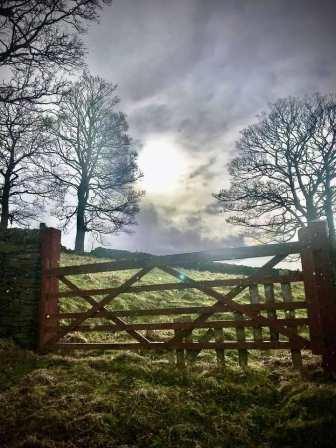
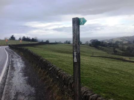
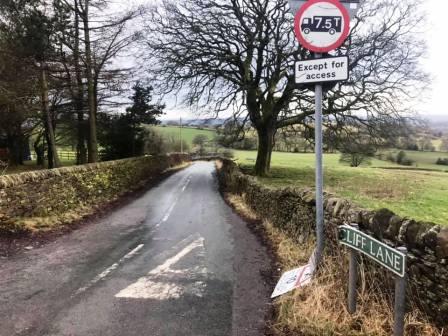
At the end of the farm access road, continue (right) along the A537 Buxton-to-Macclesfield (Cat & Fiddle) main road. Not for too long though. Take the second right into Cliff Lane and walk down this quiet road.
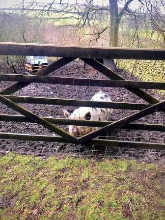
There is another honesty box shop at Cliffe Farm on the right. You may see some impressive Aberdeen Angus cattle on the left!
Just after Cliffe Farm, look out for a public footpath leading off on the left. Climb up the wall and stile, and set off along this path towards Higher Hurdsfield.
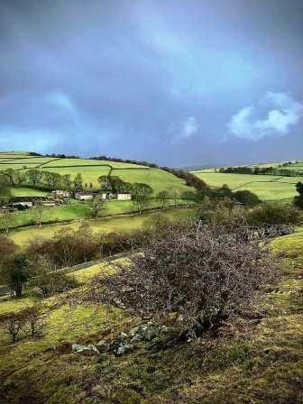
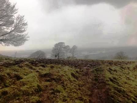
The views over Macclesfield will now open up - on a fine day! The path brings you down to the Macclesfield-Whaley Bridge road at Higher Hurdsfield. Turn left and walk down the road into town.
Bear right at the fork in the road, just after a pelican crossing. Then turn left down a walkway. This is the start (end) of the Middlewood Way.
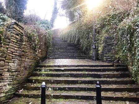
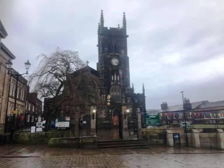
You will pass under the Silk Road flyover and head towards Waters Green. There are three passageways on the right, to walk up to the town centre from here - Brunswick Hill, Step Hill and the 108 Steps. We will take the middle one - Step Hill - pictured above. This brings you out behind St Michael's Parish Church. In front of the church is Macclesfield's old Market Place, and several options for coffee and cake are here and on adjacent streets.
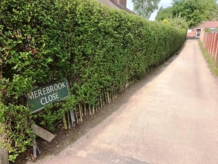
From the town centre, head back to the Weston by walking down Chestergate (initially pedestrianised) and Chester Road. Turn left into Ivy Road and then right into Merebrook Close. Turn left at the top of Merebrook Close to follow the ginnel through to Merebrook Road, at which point the circular route is complete.
|
|
|