.jpg)

|
|
|
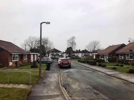
Route description & photos Start in the vicinity of Robin Lane / Lyme View, Lyme Green, Macclesfield (SK11 0LH). Plenty of on-street parking available.
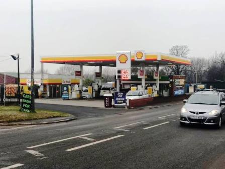
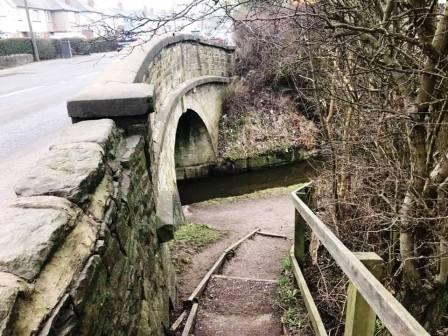
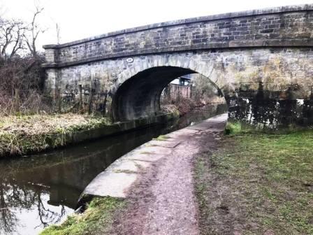
Walk North / North-East up Robin Lane then turn left into Lindrum Avenue. Follow this out onto the main A523 Macclesfield to Leek road. Turn right past the petrol station to the bridge over the Macclesfield Canal.
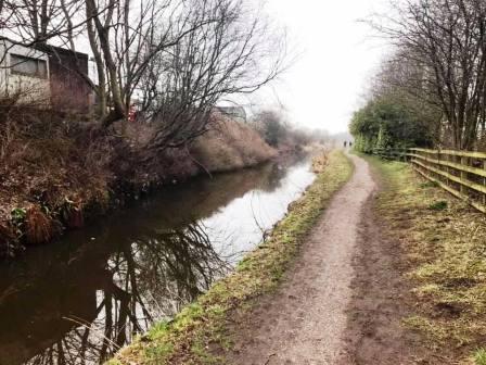
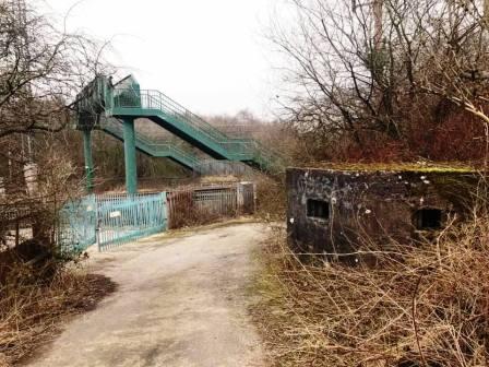
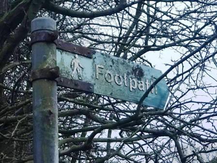
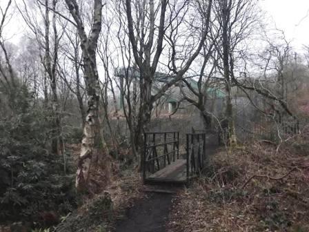
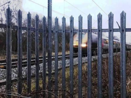
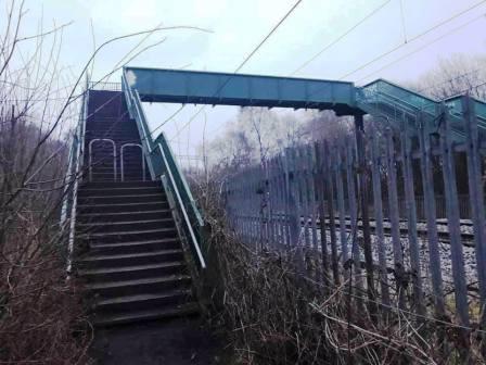
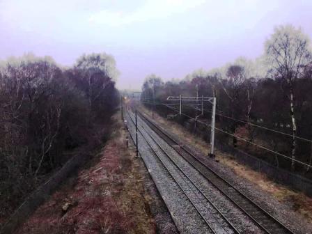
Access the canal towpath and turn right to follow it in an initially westerly direction. Exit the canal at the next bridge (Gaw End Lane) and turn right to pass an old World War II pillbox and access the footbridge over the railway line.
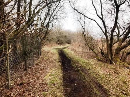
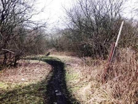
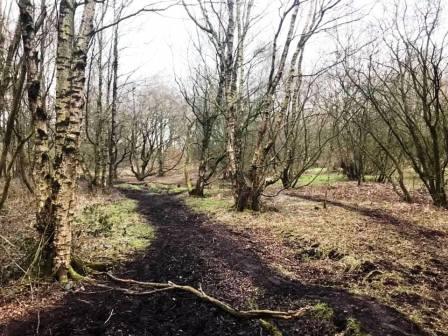
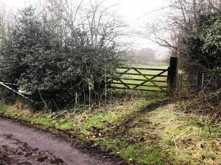
On the other side of the railway, continue to follow the public footpath. Look out for a sharp left turning marked by a white post. Turn left here and follow the muddy path across this part of Danes Moss.
This area of Danes Moss is part of the South Macclesfield Development Area and is planned for housing, with sporadic talk of a multiplex cinema and new football stadium. This particular footpath is not currently marked on any maps as a public right of way, but does enjoy significant customary usage.
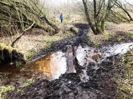
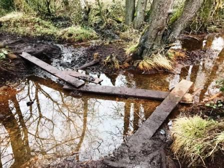
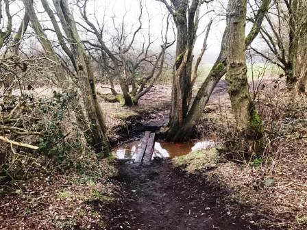
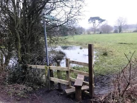
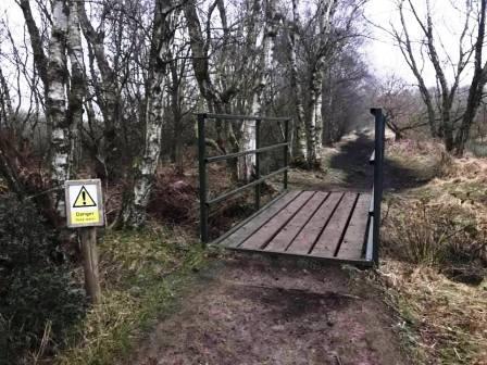
There are a couple of potentially precarious water crossings where loose planks have been placed. Each step should be taken slowly and carefully on these!
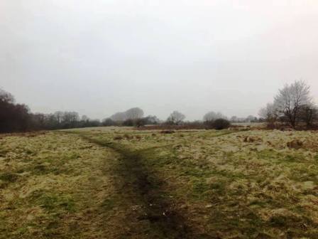
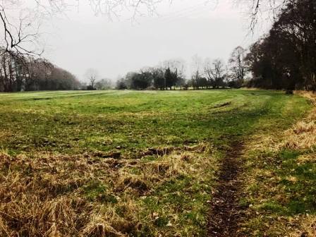
The route brings you out onto some open rough land, and you follow the clear trodden path around its left-hand boundary.
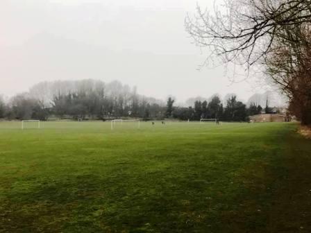
You will reach another water crossing - a couple of planks - and this brings you onto the playing fields off Congleton Road. Walk along the right-hand boundary of the playing fields, past the changing facilities and out onto the main A536 Macclesfield to Congleton road.
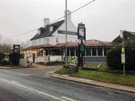
Turn left to walk past the Rising Sun pub (nicknamed "Tip Inn" by the locals) and the recycling centre. Continue down the road until a left pointing public footpath sign, pointing down the access road for Danes Moss Farm on the opposite side of the road.
Walk down the access road until you see a kissing gate on the right. The footpath now veers right through this gate and across some potentially damp boggy ground.
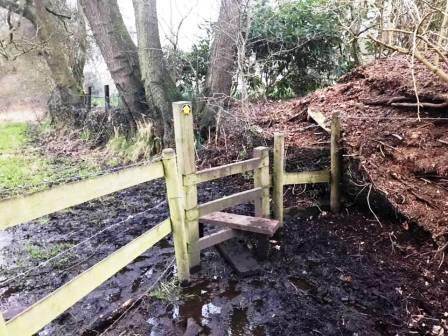
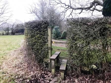
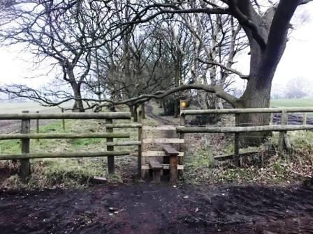
Remain with the path on the right-hand boundary of the field, and a corner stile is reached, often surrounded by some fairly deep bog! It can be a tricky job to negotiate your way across this little bit! A little further along, another stile is crossed to join a driveway to a private residential property. The footpath follows the driveway down to a T-junction. Turn left, and then very quickly right onto another public footpath.
This footpath becomes somewhat insdistinct as it progresses across the middle of a vast grassy area, and care should be taken to be looking ahead for the next signpost or stile.
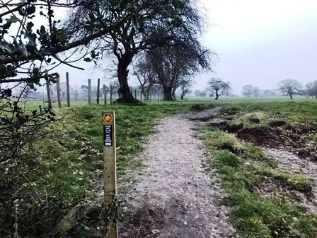
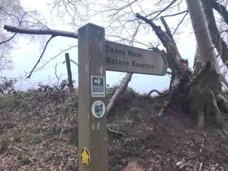
The path becomes more distinct again and eventually continues into a pleasant tree-lined footpath towards Danes Moss Nature Reserve.
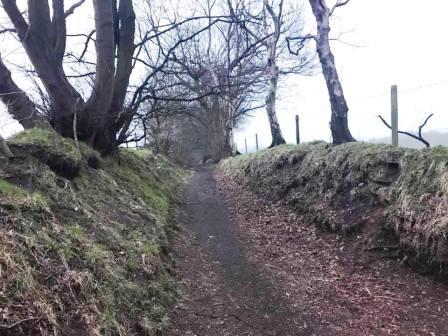
At a crossroads of paths, turn left to follow the Danes Moss Nature Reserve signpost. The path is now very distinct between two grass banks and fences.
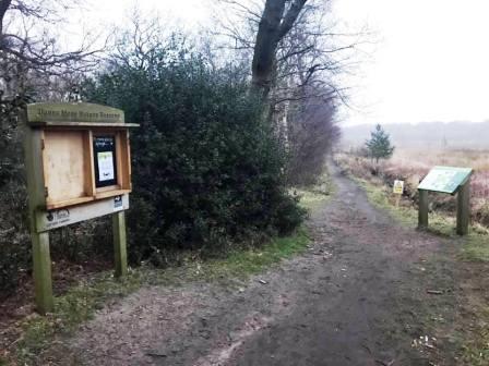
At the start of the main part of the nature reserve, a couple of information boards are passed. The path now follows an old tramway line across Danes Moss and in places, some of the old sleepers can still be seen.
As the railway is approached again, a footbridge can be made out through the trees. After crossing the footbridge, you are very nearly on the Macclesfield Canal for a second time.
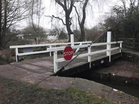
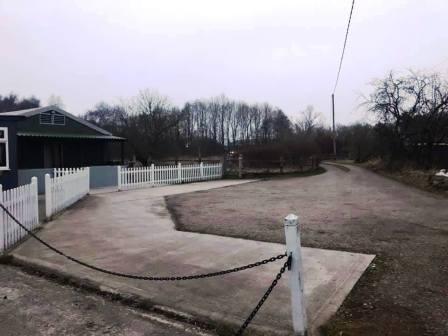
Instead of turning onto the towpath, proceed directly ahead over a swing bridge. Continue through the metal gate and up the access track at Moss Head Farm.
Exit the farm between the two main buildings and turn right onto Gaw End Lane. Continue up to the junction and cross straight over the main road to continue down Robin Lane. The route is complete.
|
|
|