.jpg)

|
|
|
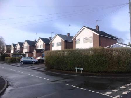
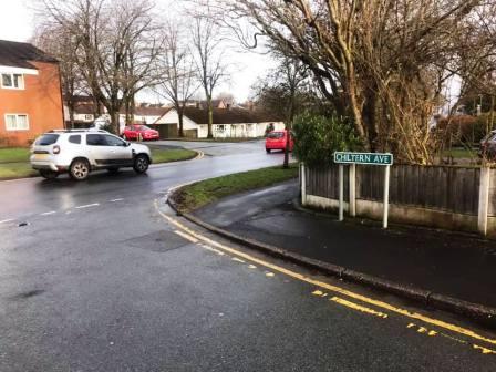
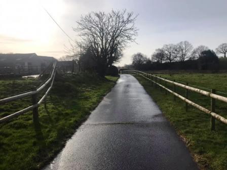
Route description & photos The route starts on Chiltern Avenue in the Ivy area of Macclesfield (SK11 8LP). It should be possible to find some on-street parking around here or nearby streets in times when this sort of travel is permitted. However, in the spirit of the 'Lockdown Walks' project, if you can walk from your home to get here, you probably should!
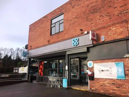
Walk west out of Chiltern Avenue onto Ivy Road. There is a large Co-op here if you need to get food items for your rucksack. I got the £3.50 "meal deal" of a sandwich (All Day Breakfast), snack (Ginsters Cornish Pastie) and a drink (Purdey's Rejuvenate).
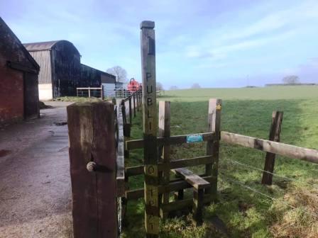
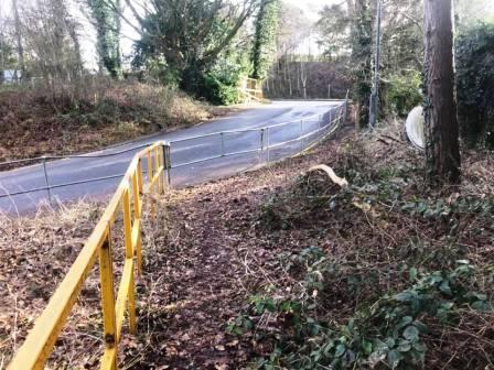
Bear left to walk a short distance along Ivy Road before turning right up Kendal Road. At the top, turn left into Earlsway, and then left again into Gawsworth Road. Fear not though, because that is the last of the road walking for most of the rest of the route! After a few yards along Gawsworth Road, look for a public footpath into a field on the right.
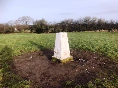
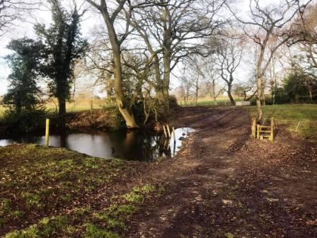
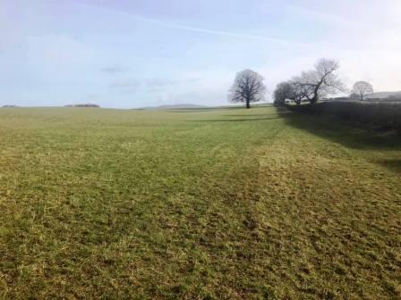
This is New Farm. The official line of the public footpath runs along the left-hand boundary of the field. However, if you head up the small hill on your right, there is a trig point to take in. From the trig point, bear partially left and aim to descend down the centre of the field towards the centre of the field boundary opposite. This will being you to a wide opening into the next field, as well as avoid a badly waterlogged area where the official line of the footpath goes through a kissing gate. After descending a little more, you will pass a small pond on your left, and then angle left to aim for a gate onto a track. Ignore the footbridge over to the right, which is a different public footpath.
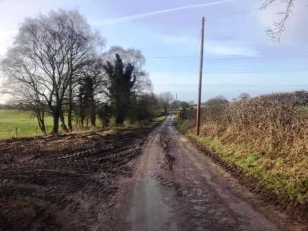
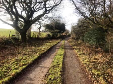
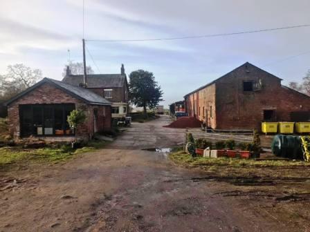
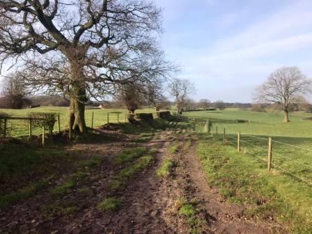
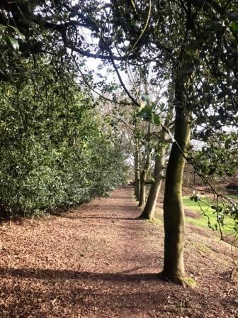
There is now a very pleasant, and very quiet walk down a long track to Underbank Farm. This runs approximately parallel to Gawsworth Road, but its infinitely more pleasant and safer then walking down that busy pathless road!
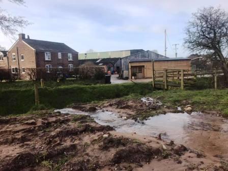
You pass between the farmhouse and storage sheds at Underbank, then pass a small pool before emerging through a gate at the back. The footpath now continues on the right-hand side of the field, alongside a small stream. This takes you down to Dark Lane, opposite Trevors Close Farm. Turn left onto Dark Lane and walk down to the junction with Gawsworth Road at Warren.
Do not continue as far as the crossroads with the A536 Macclesfield-Congleton road. Instead, take the public footpath opposite Gawsworth Road into Newbarn Farm. After the initial field, this becomes a pleasant wide track between two fences.
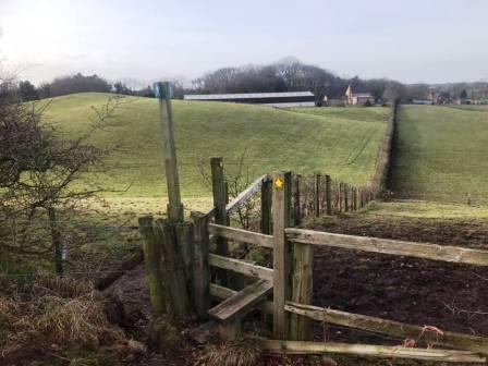
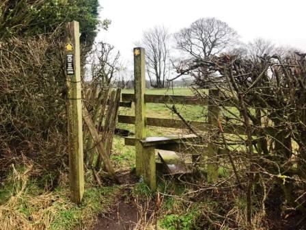
When a double stile is reached, one public footpath goes straight ahead, while the one we want turns sharp left. This brings you out onto Marton Lane, which is crossed to continue directly ahead on the access track towards Mill End Farm.
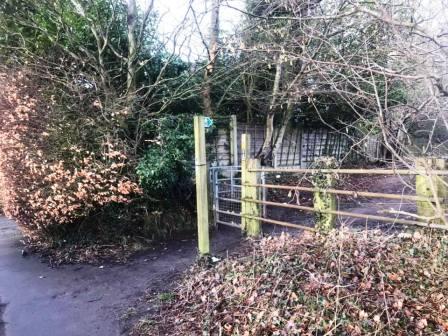
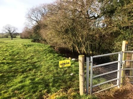
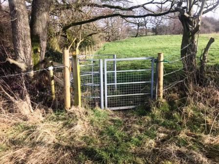
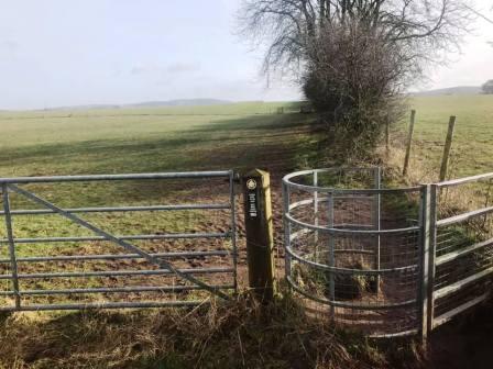
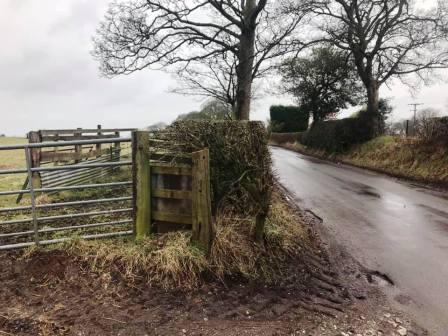
The road to Mill End Farm initially has a very good tarmac surface. At the point where this access road turns sharp right to continue into Mill End Farm, we carry straight on. Take care where a substantial concrete-surfaced track appears to continue ahead, as you might miss a kissing gate on the left (pictured below) - I did on my first visit! This is our route across towards the A536.
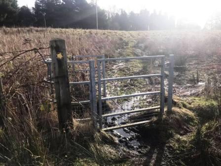
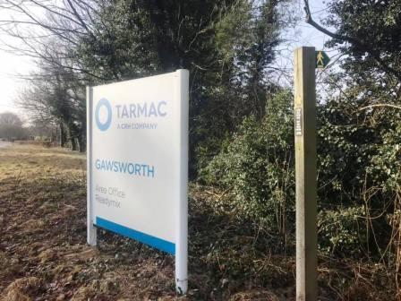
There are a couple of rather damp and boggy sections to negotiate here, but nothing that isn't escaped within four or five strides! A wooden gate leads onto a more pleasant short path beside some trees.
This public footpath then encounters some metal railings as it joins the vehicle entrance for the Tarmac works at Gawsworth.
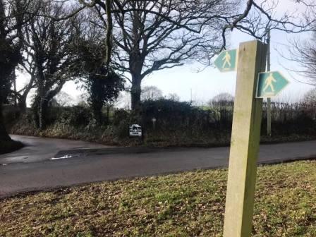
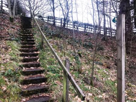
Cross the main A536 Macclesfield-to-Congleton road, and directly up a staircase, marked with a public footpath sign.
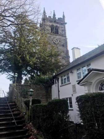
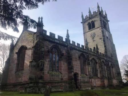
This leads through a field then into a lovely tree-lined path into Gawsworth. You can see St James Church ahead.
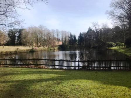
Walk through the churchyard before turning left between two pools to join the road. Turn right to follow towards Gawsworth Hall.
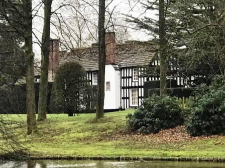
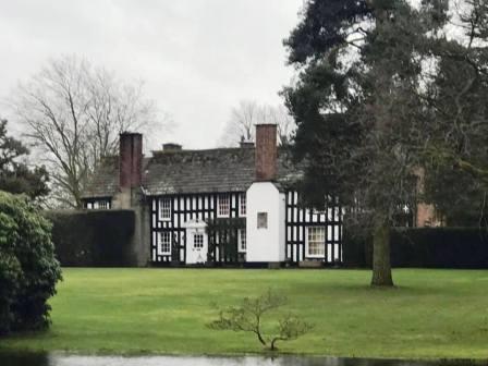
Where the road turns sharply to the left, turn right onto the public footpath, still heading towards Gawsworth Hall.
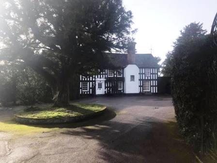
This is a Tudor mansion, and well worth a look around when open.
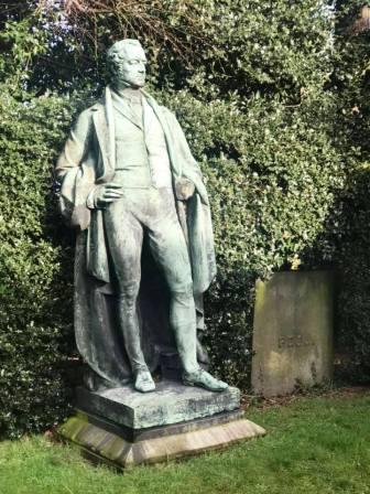
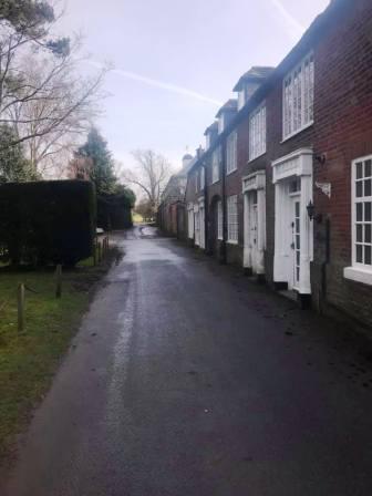
Shortly past the main entrance to Gawsworth Hall, you pass the Robert Peel statue on the left and then a row of buildings on the right.
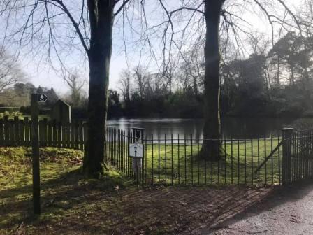
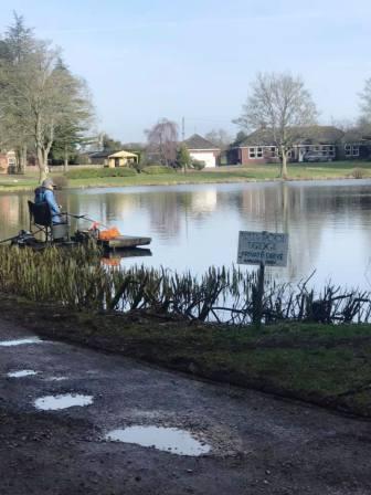
Another pool is passed before the footpath continues in a straight easterly line over fields.
Continue ahead following the right-hand field boundary, until a track between two kissing gates is reach.
Turn left and follow the track down to Woodhouse Lane.
At Woodhouse Lane, turn left for a very short distance, before taking a public footpath on your right.
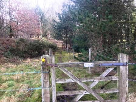
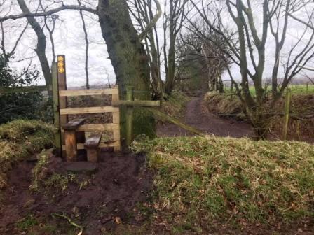
At the first field corner, it is tempting to continue ahead through a gap in the trees. However, the route here bends around to the right and follows the tree line down to a stile and a crossroads of public footpaths.
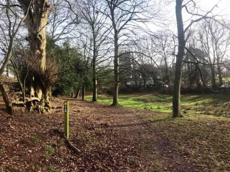
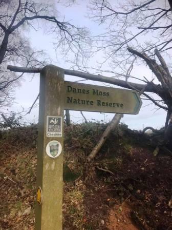
At the crossroads of paths, continue straight ahead following the sign for 'Danes Moss Nature Reserve'.
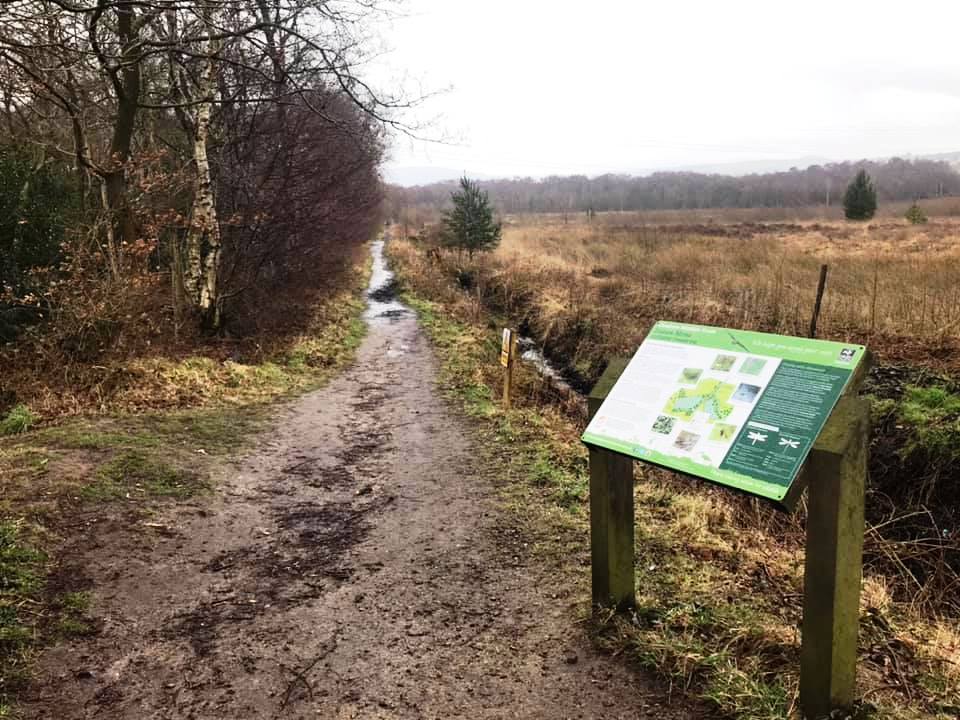
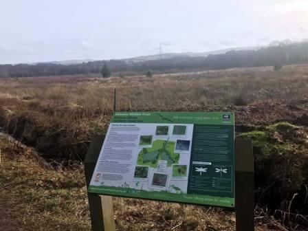
Keep your eyes open for interesting wildlife as you pass through the nature reserve. Lizards can be spotted here in summer - and I can confirm that I've seen them myself.
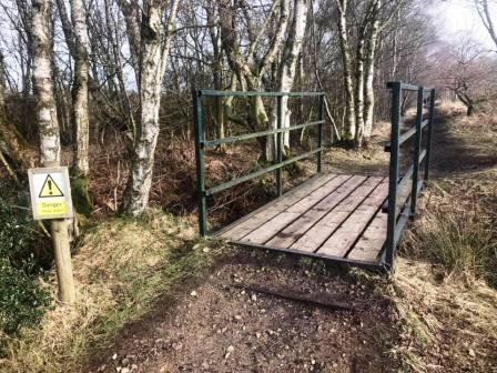
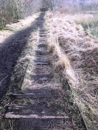
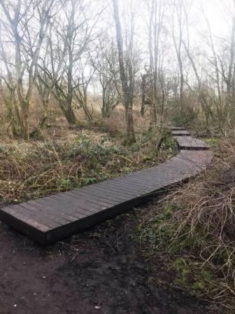
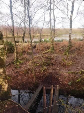
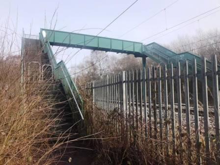
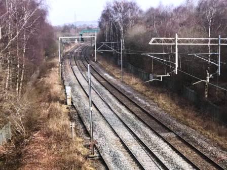
Also look out for the sleepers from an old tramway that used to transport peat from Danes Moss over to the main railway line. You will see a couple of boardwalk paths going off to the right. These are either end of a circular loop, so could form an optional diversion. Otherwise, continue straight on the main path which brings you to a green footbridge over the mainline railway.
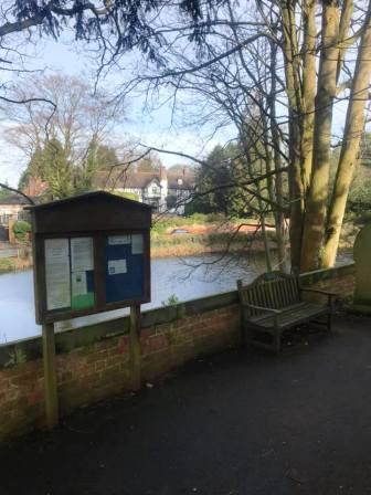
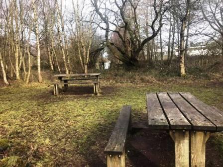
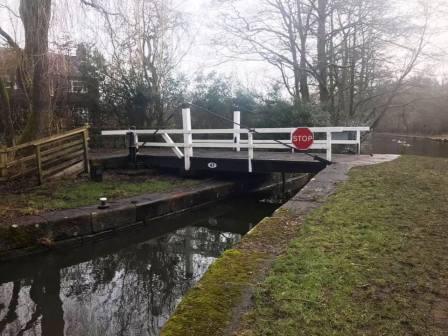
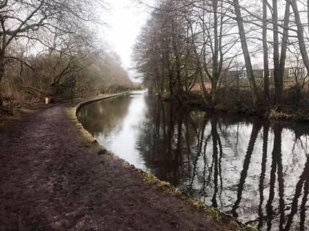
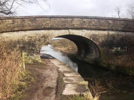
The footpath now joins the Macclesfield Canal, and there is a pleasant picnic site on the left here for a rest if desired. The swing bridge here leads to an alternative path that also arrives at the next canal bridge at Gaw End Lane. but we will turn left and walk along the towpath.
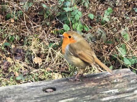
I was accompanied by a sociable and confident robin on my visit for the duration of my rest stop!
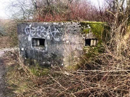
Exit the canal at the very next bridge at Gaw End Lane. Turn left and drop back down to the railway line, passing a World War II pillbox on the right.
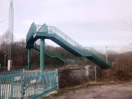
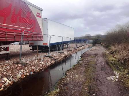
This cul-de-sac is unfortunately a bit of a fly-tipping spot, so press on and get over the railway footbridge back to some more pleasant walking - briefly anyway!
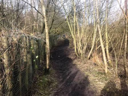
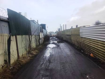
We are now back into another section of Danes Moss. At a junction of paths, the one going sharp left leads, eventually, to the playing fields off Congleton Road. It also provides an access point to walk over the landfill site, which is quite interesting - and actually pretty weird! Some of the terrain is steep, muddy or boggy though in this area. That is not part of the route though, so we continue on the path as it passes curves round and eventually passes between some scrap metal yards.
This takes you all the way to Moss Lane. Turn left into Moss Lane and walk past the Golden Lion pub and straight ahead onto Stamford Road.
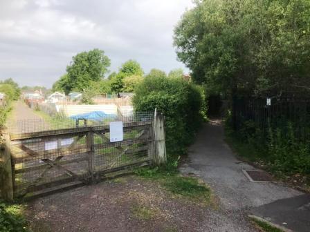
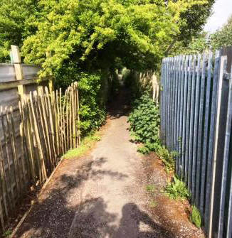
Follow Stamford Road to a sharp corner bend. At this point, turn left into the public footpath through the Moss Lane allotments. There are many allotments here, and usually quite a few people out tending to them.
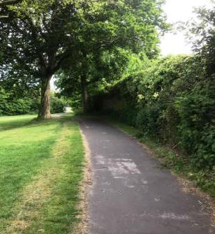
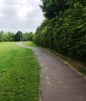
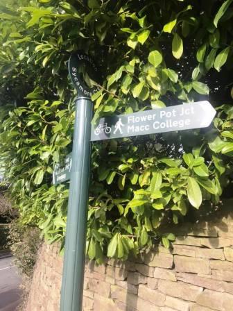
Ignore a couple of right turns off the path, keeping straight on between the allotments. The path emerges onto the southern end of the Flower Pot Greenway. Bear right to follow the greenway route up to Congleton Road, near the Flower Pot junction.
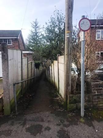
From this point, the official route of the Flower Pot Greenway goes up Ivy Lane before turning right into Sycamore Crescent. Turn left down a narrow ginnel down to Amberley Road.
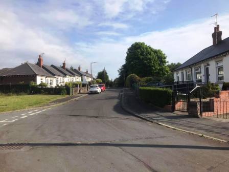
Continue straight ahead up Amberley Road, and turn right into Farnham Avenue to bring you back to the start point on Chiltern Avenue. The route is complete.
|
|
|