.jpg)

|
|
|
Click on the map for more details:
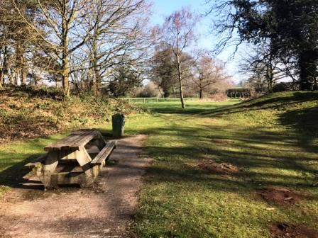
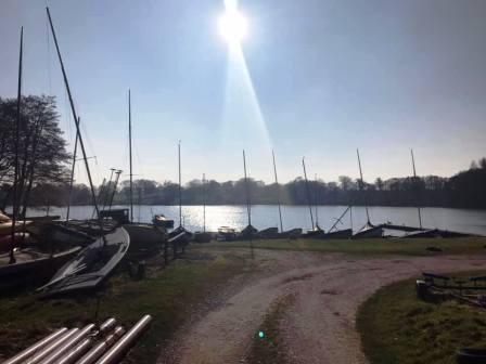
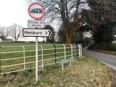
Route description & photos Start from the picnic area at Redesmere (SK11 9JR). There is parking along Redesmere Lane, Siddington, beside the picnic area and along the south shore of the lake. From the picnic area, follow the grassy path towards the lake.
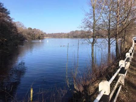
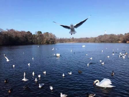
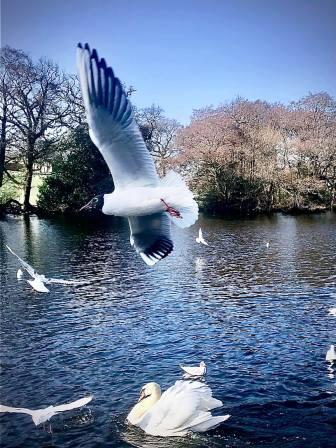
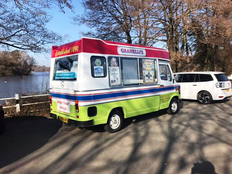
The path emerges back onto Redesmere Lane at the main parking area. There is usually an ice cream van here and people feeding the many ducks, swans and gannets!
After feeding the birds, and maybe yourself with an ice cream, continue towards the south-east corner of Redesmere and join the public footpath going off from the left.
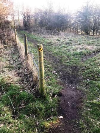
The footpath is marked as "Capesthorne" and will take you to the estate via the east shore of Redesmere.
The footpath has mostly good sections, but a few very muddy parts too. Once it reaches the sailing club, it becomes a hard-surfaced vehicle track.
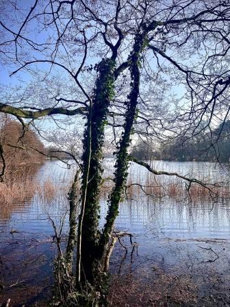
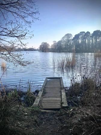
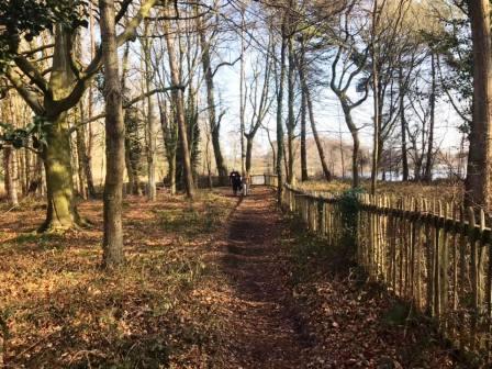
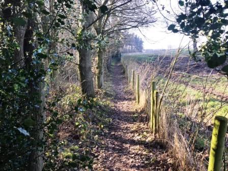
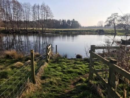
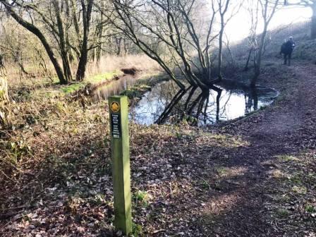
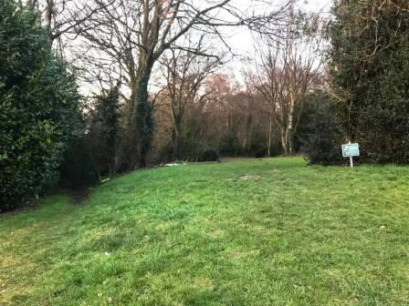
The track is left on the left-hand side to follow a short footpath through a small wood. This passes close to the north shore of Redesmere with excellent photograph opportunities.
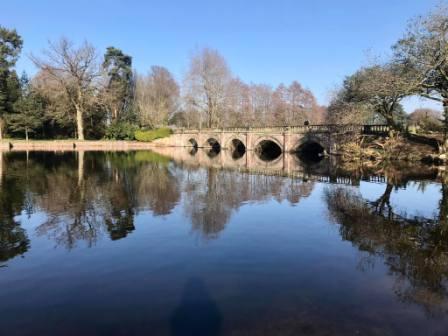
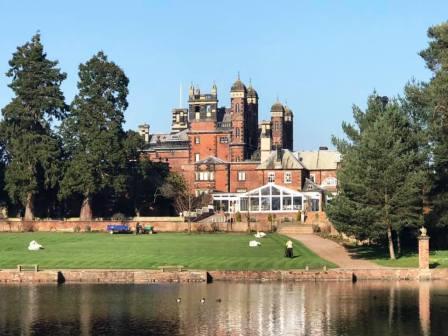
Cross the A34 main road and continue on another public footpath through the Capesthorne estate.
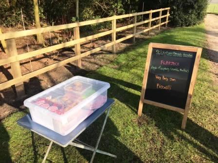
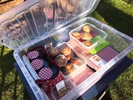
The path follows the opposite side of the water to the main Capesthorne Hall. As the estate is exited, there may be an honesty box type stall. The apple and raspberry crumble muffins are very highly recommended!
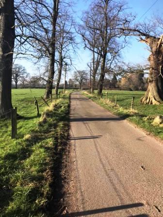
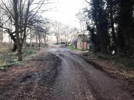
Turn right to walk up Mill Lane, and continue ahead on the public footpath through Mill Lane Farm.
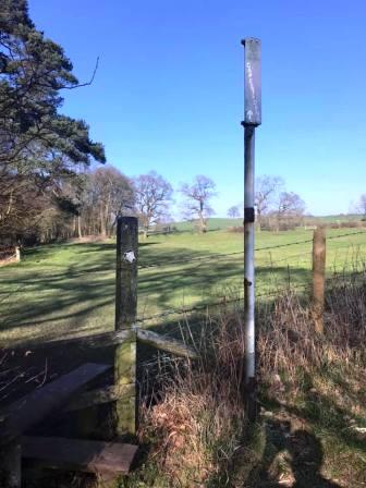
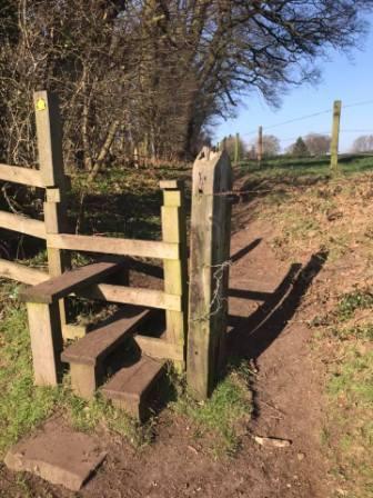
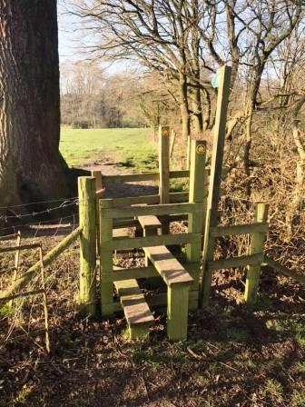
After a double stile, the route is not clear on the ground, but bends around to the right. Continue towards the edge of the field and you should begin to see the yellow arrow and stile.
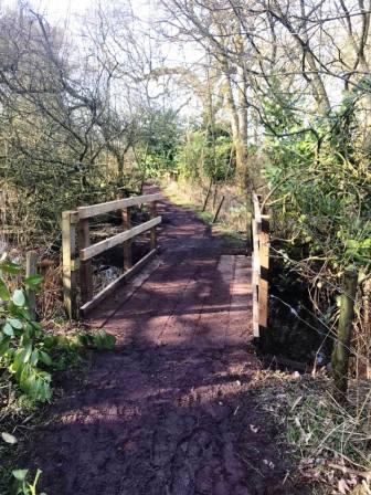
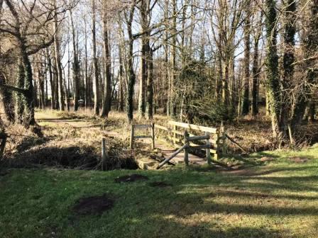
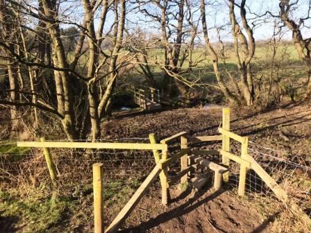
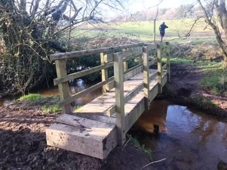
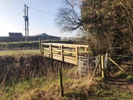
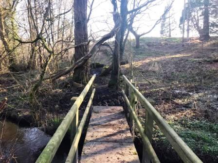
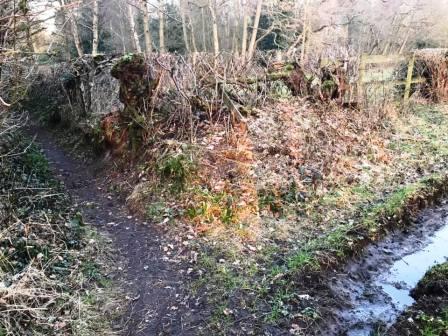
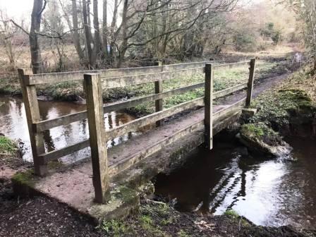
The next section can be very muddy, but is only for a very brief time before a footbridge is crossed over to firmer ground.
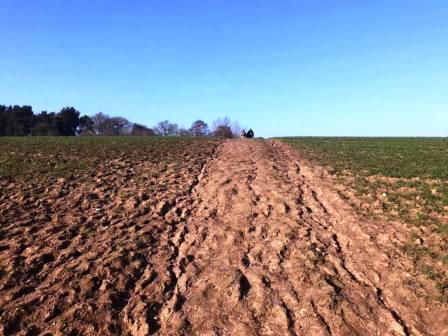
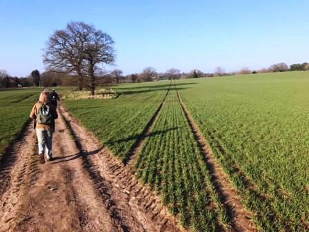
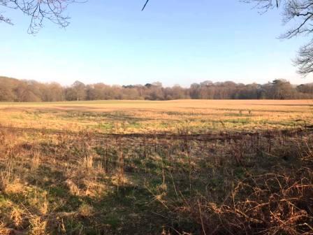
The footpaths pass into Astle Farm (East) and pass through a large corn field.
A wooden footpbridge is crossed on the left as you progress from Astle Farm (East) to Astle Farm (West).
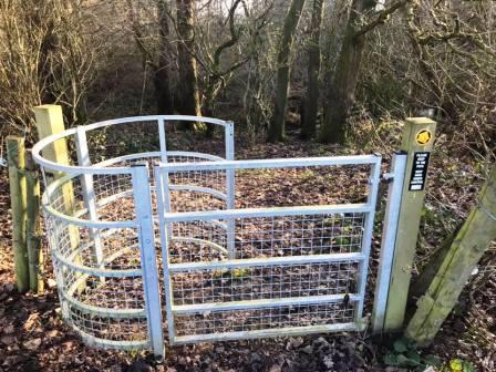
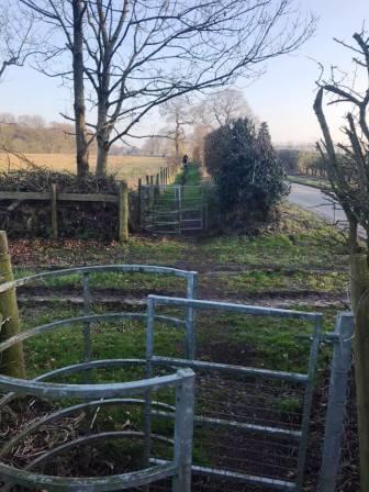
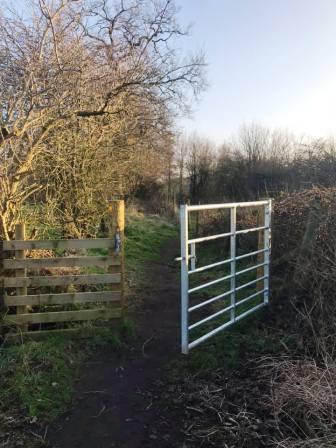
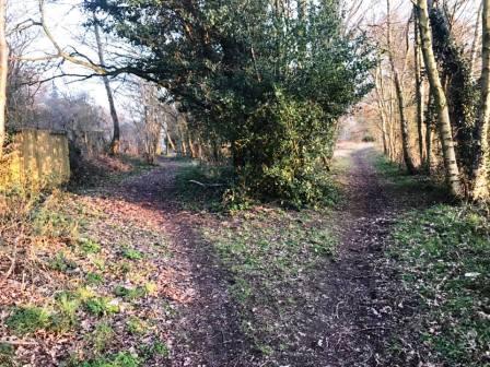
Another sharp left turn is taken through a fenced path. This passes a fishing pool then heads down to the woods. Again the route on the ground here can be ambiguous, so look out for a kissing gate with the yellow arrow waymarkers.
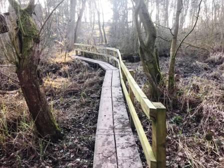
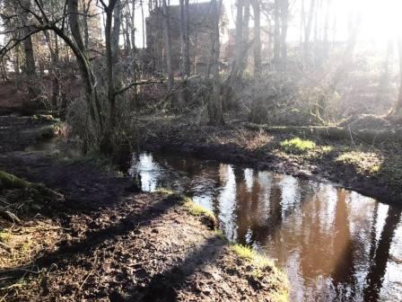
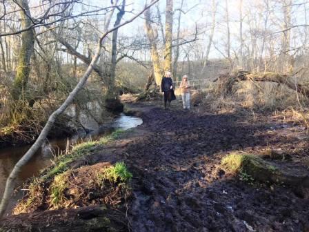
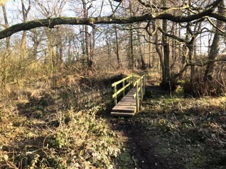
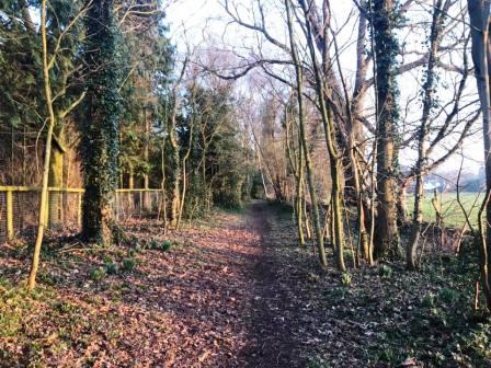
You now enter an extremely pleasant long thin wood, within which the footpath remains for an unexpectedly long time, as it progresses alongside Snape Brook.
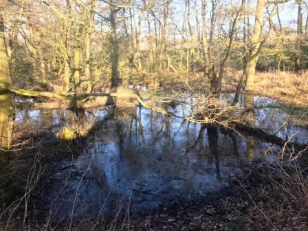
Terrain varies sharply between good paths, wooden footbridges and boardwalks - and very boggy sections to negotiate! Almost without fail though, the bogs look much worse than they actually are, and none are actually all that deep.
With the width of the wood being very small, it gets plenty of sunlight, and so it is a bright, colourful and attractive place on a fine day.
The footpath ends onto Mill Lane. This is the same Mill Lane as walked along earlier, but obviously a different section. Turn right to walk down to the T-junction.
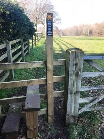
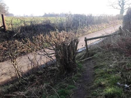
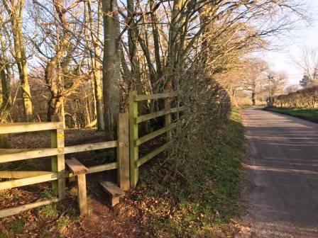
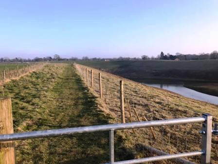
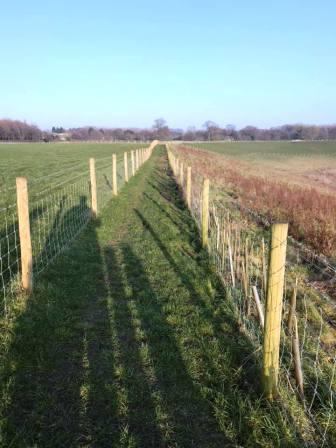
At the T-junction, cross a stile on the left to join a curious footpath. this parallels the road for nearly a kilometre, separated from the road just by a fence or hedge.
When the footpath ends and rejoins the road, take another footpath on the opposite side of the road and walk away from the road on the right-hand side of the fence.
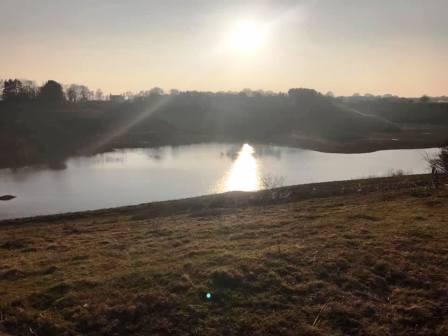
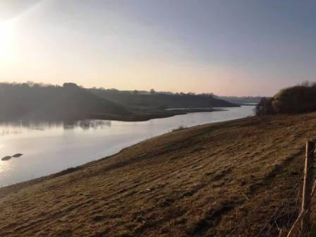
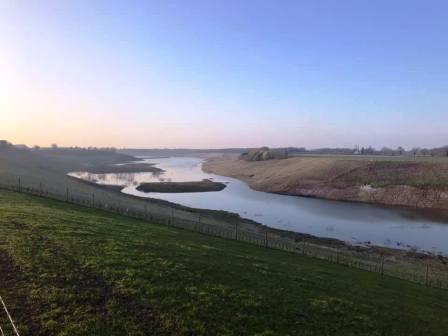
At the wood, the path turns left. Glimpses of the water that now fills the old Chelford Sand Quarry start to appear on your right-hand side.
When the trees come to an end, the views over the quarry really open up. A very unusual footpath tracks the top of the steep bank down to the quarry and follows a wide curve around the head of the quarry, tightly contained between two barbed-wire fences.
The path reaches Whisterfield Lane, which is crossed and another public footpath continues in a broadly similar direction.
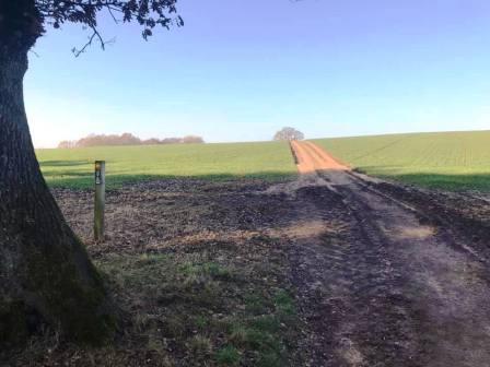
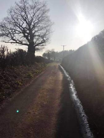
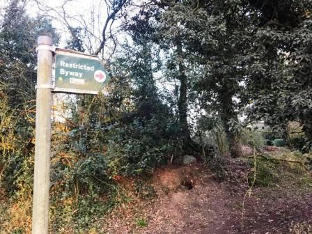
When the lane is reached, turn left to walk past Moss Farm. After about half-a-mile, turn right onto a byway.
Take the left fork, and then a sharp left turn in order to head towards Siddington village.
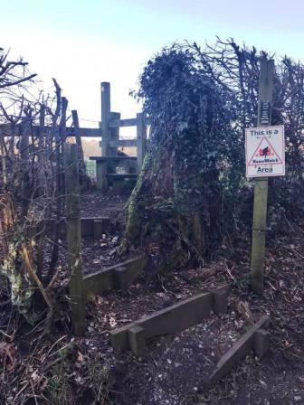
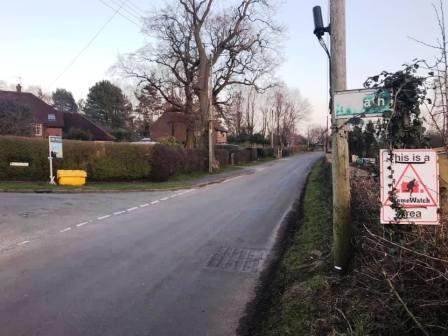
When the road is reached, the OS mapping indicates that the public footpath continues directly opposite. However, this is incorrect, and no further progress is possible once the dead end is reached. Instead, turn right onto the road, and then left into Woods Close.
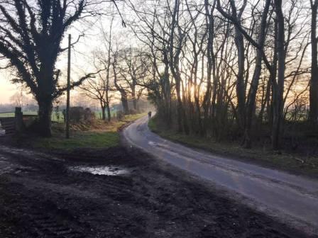
Follow to the end of the close, and then continue on a grassy path through the trees. The path continues past some farms and through a few boggy sections between trees. When the A34 is reached, turn right, and then left into Redesmere Lane. The route is complete.
|
|
|

 `
`