.jpg)

|
|
|
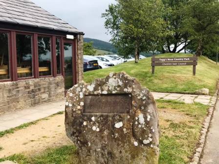
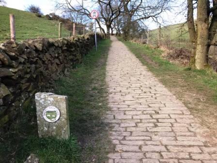
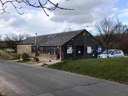
Route description & photos Start from Tegg's Nose Country Park (SK11 0AP). This is a pay and display car park, and I would recommend allowing 5-6 hours for this route. Head out of the car park and turn right onto Buxton Old Road. Turn left to follow the Gritstone Trail route past Windyways. Look out for a wall still near the track corner, where the Gritstone Trail route leaves the track - so does this route.
Follow the grassy path over and down the hill. At a crossroads of paths, turn right to head towards and through Brink Farm.
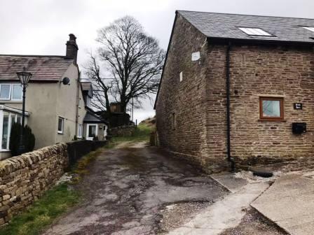
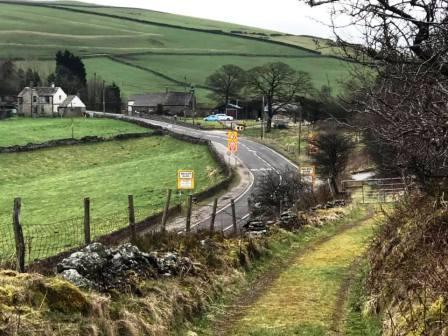
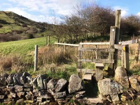
The path descends to the main A537 Macclesfield-to-Buxton road. Cross over, pass the former Setter Dog pub, and continue to the Peak District National Park boundary stone. Just beyond this, take the stile into the field.
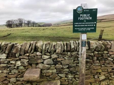
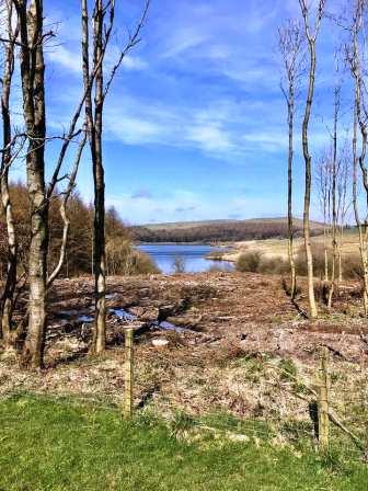
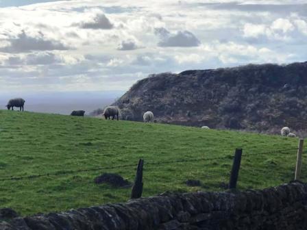
Follow a series of grassy paths through the fields towards Lamaload Reservoir. Where there is a fork in the paths, bear right.
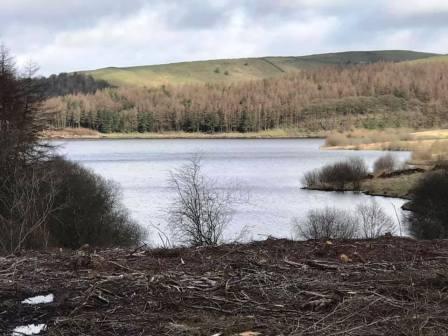
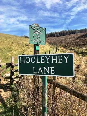
Continue on the path as it works its way around the south of Lamaload and then joins a road. Turn left onto the road and walk down towards Lamaload.
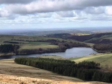
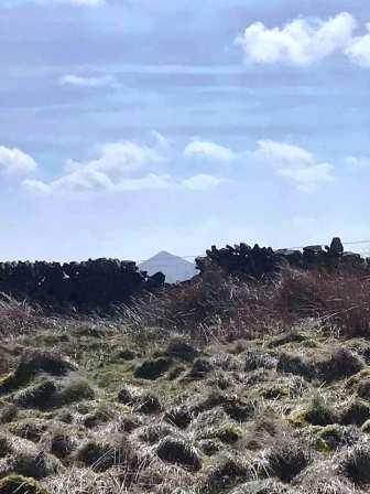
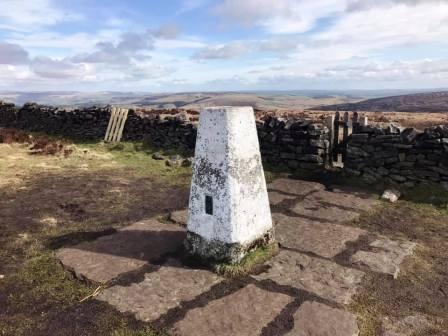
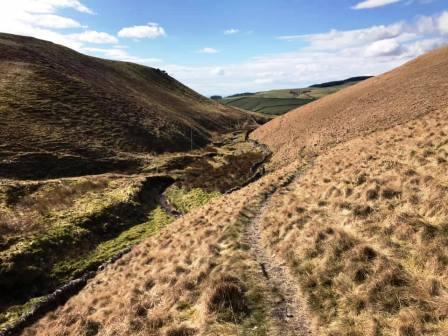
At a corner in the road, turn right onto a public footpath. This weaving and undulating path takes you all the way to the summit of Shining Tor.
From Shining Tor summit, descend towards the Cat & Fiddle. Turn right at the T-junction of footpaths, and after the next gate, bear right to follow the path down to the Peak View Tearooms.
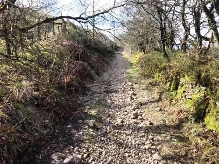
Opposite the Peak View Tearooms, a permissive path leads down into a steep valley and down to Bottom of the Oven. The Stanley Arms pub is just a short walk from here if refreshments are required. Turn left onto the road, then right onto another road. Very soon after, turn right onto a stony track uphill to Forest Chapel.
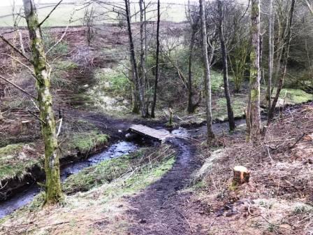
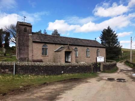
Shortly after the chapel, turn right onto Charity Lane, which is just a byway at this end and not suitable for most motor vehicles. Look for a footpath veering off to the left through the forest, and follow this.
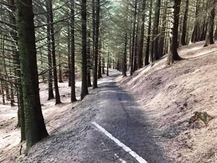
Continue straight ahead at each of the numerous path junctions as you progress through Macclesfield Forest. The path eventually emerges onto Hacked Way Lane, onto which we turn left. Stay on this track all the way down to the valley bottom. Turn right onto the path for Tegg's Nose, and bear left to follow the trail back up to the country park car park and tearoom. The route is complete.
|
|
|