.jpg)

|
|
|
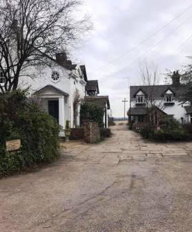
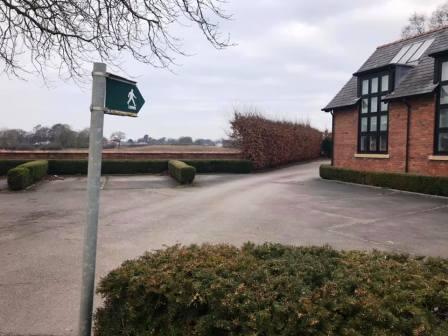
Route description & photos Start from the main A537 Macclesfield to Knutsford road, just to the west of Chelford village centre. There is parking available on Oak Road (SK11 9AY) or adjacent streets.
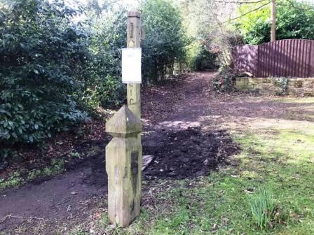
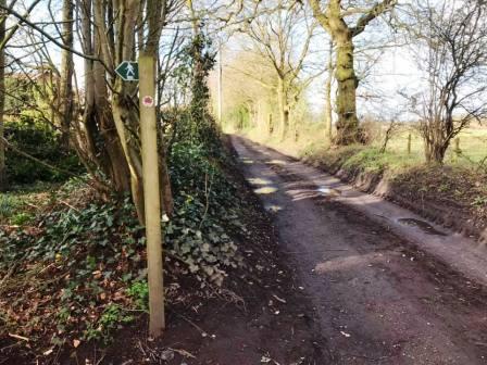
Look for a wooden post next to a public footpath sign on the south side of the main road. Follow this footpath onto Chelford Heath.
At a T-junction of public footpaths, turn left.
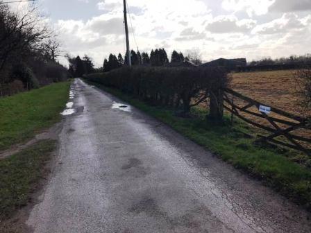
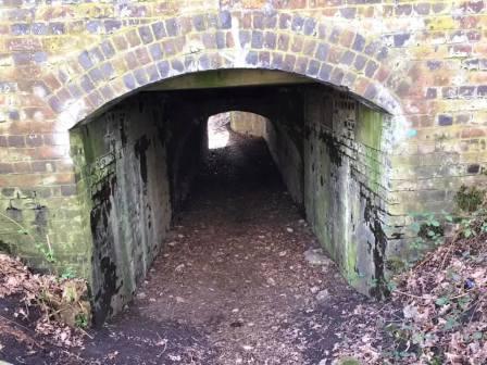
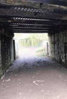
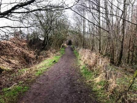
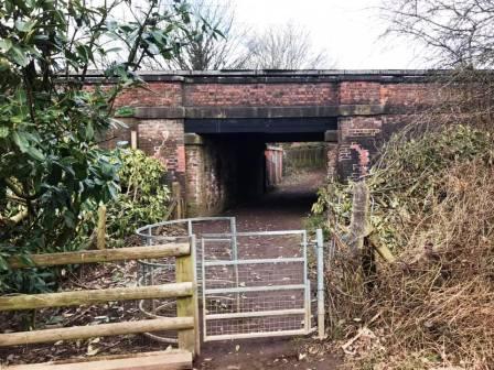
Continue ahead onto another public footpath at Heath Farm. Continuing straight head, you are brought to a tunnel under the railway line. Mind your head!
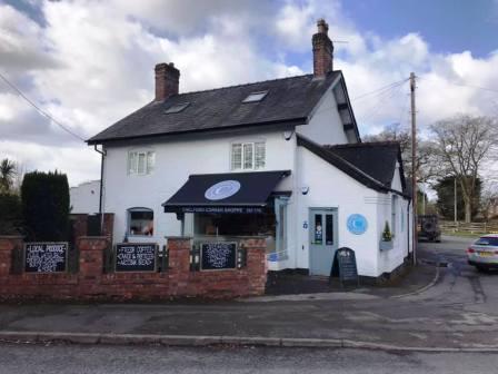
Turn left into the road and walk down this to Chelford roundabout. Here you will find the Chelford Corner Shoppe, selling some nice produce for lunch or breakfast depending on your timing.
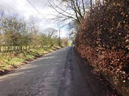
At the roundabout and shop, turn right onto the A535.
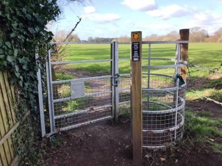
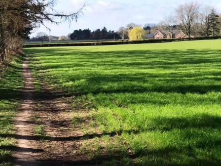
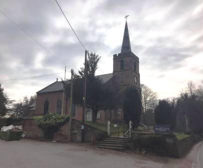
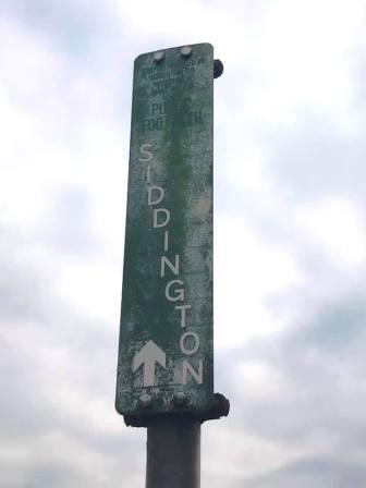
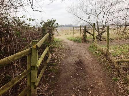
Continue down the A535 Holmes Chapel road until you reach St John's Church on the left. Turn left to pass between houses, walking along a paved road. Behind the houses, you will see a public footpath sign marked for the village of Siddington. Follow this across the coming fields.
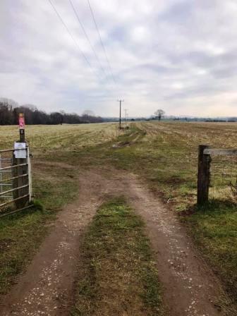
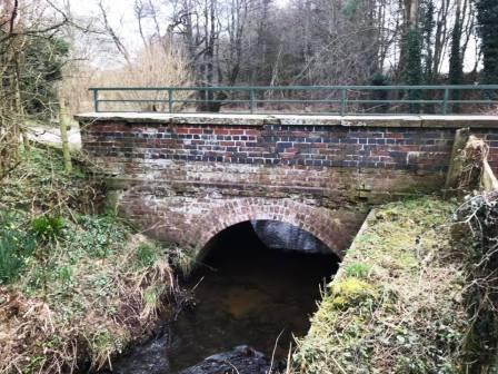
This path leads you to Astle Farm (West). Turn left onto the farm road, crossing the brick bridge.
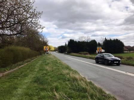
Follow the track from Astle Farm up to the main A537 road. Cross the road and turn right along the pavement.
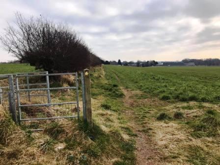
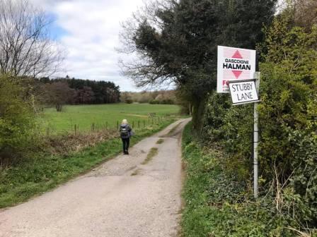
Walk just a short distance before turning left into Stubby Lane (track). After another short distance, turn left again into a public footpath.
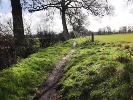
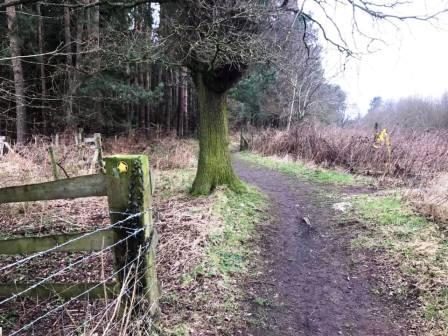
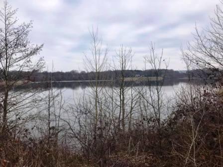
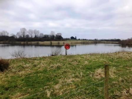
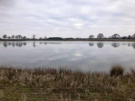
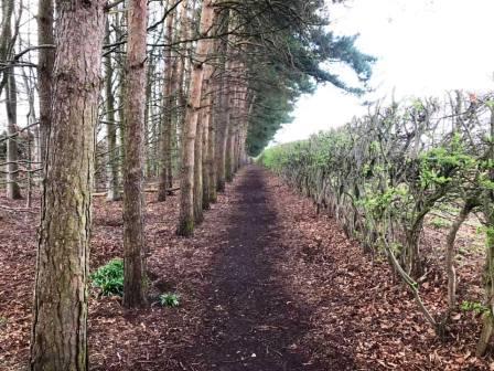
The path passes through George's Wood and there are views of a large mere on the right
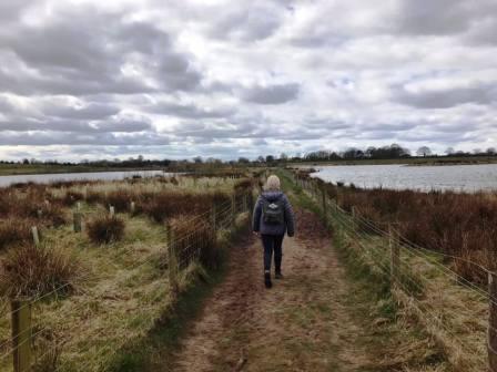
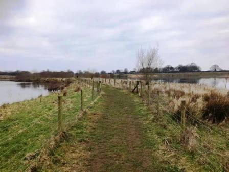
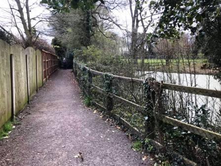
After passing through more woodland, the path ahead passes between two large pools, in an almost causeway-like manner.
There are good views of the vast expanses of tranquil water either side of the path as it proceeds towards Chelford village.
When the path eventually reaches Alderley Road, turn left and then almost immediately right to follow another public footpath.
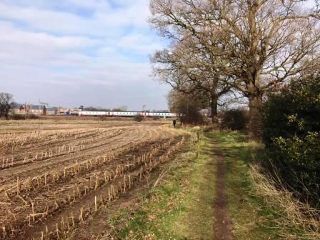
The footpath passes along the right-hand boundary of a crop field, with the railway line ahead.
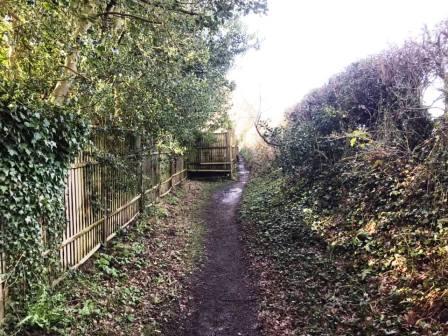
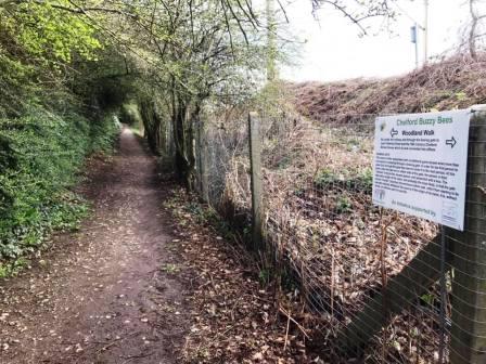
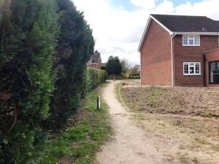
Pass underneath the railway line and into the edge of a residential estate in Chelford village. Turn right to follow the woodland path.
After a short distance, the path turns ninety degrees to the left. Navigation is easy as there's nowhere else to go!
The path turns ninety degrees left again and becomes a track along the edge of the housing estate. Continue straight ahead as the track continues past a byway signpost.
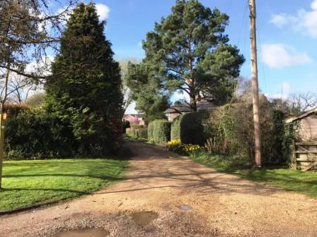
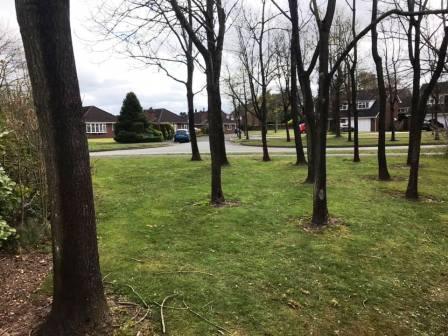
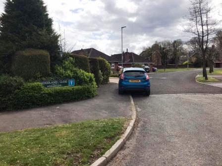
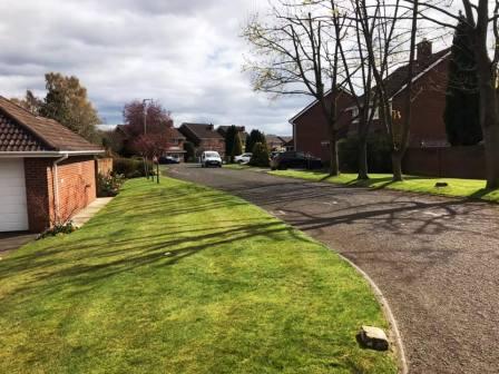
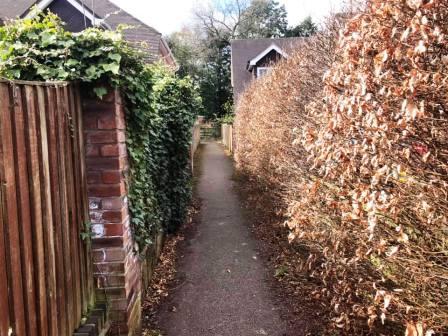
The path continues between a hedge and a house, then look for some trees on your left. Walk over the grass between the trees and head straight over into Woodland Close.
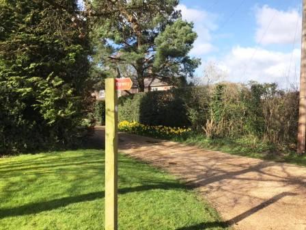
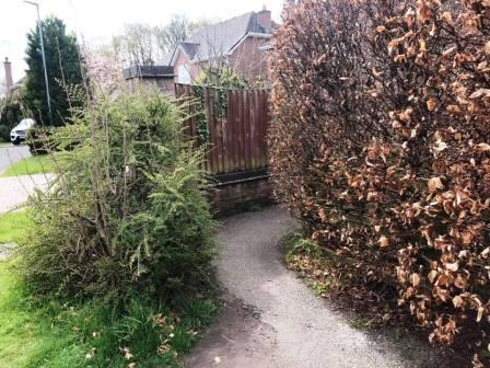
Turn left off Woodland Close into Woodland End, then look for a 'cut-through' path between a wooden fence and a tall hedge.
Continue along this path, which turns sharp left to pass a pool.
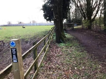
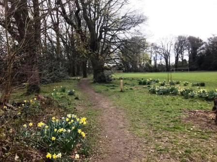
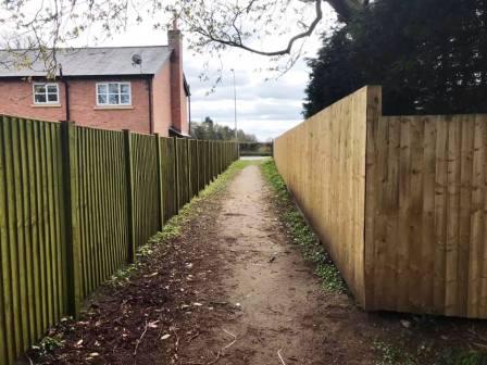
The path approaches a park and football pitch area. Turn left to follow a trodden path between the local primary school and the football pitch.
Finally, the path turns into an alleyway between two tall wooden fences, and out onto Chelford Road. Turn left to return to the walk start point. The route is complete.
|
|
|