.jpg)

|
|
|
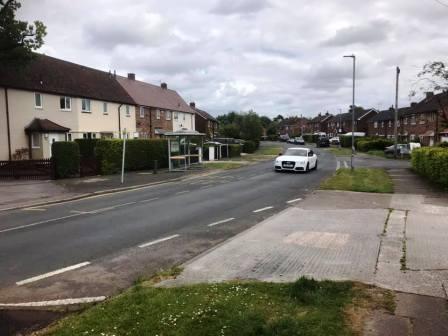
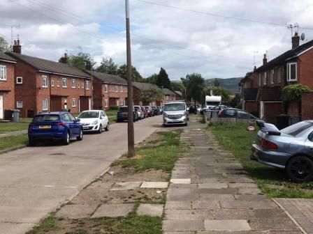
Route description & photos Start anywhere on Merebrook Road (SK11 8RH). Limited on-street parking available. Walk to the top end of Merebrook Road and over onto Colville Road. Cross Chester Road onto Maxfield Close and walk to the end, behind St Luke's Church.
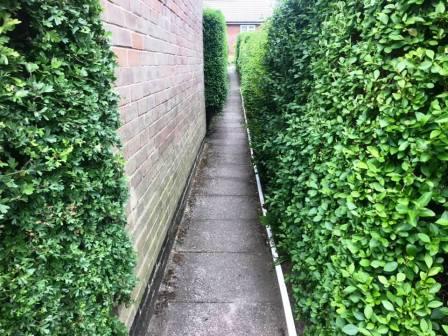
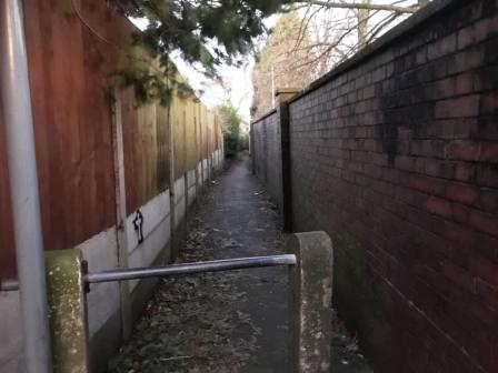
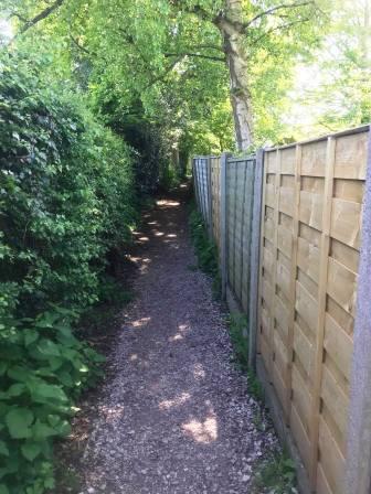
Turn left into a long narrow ginnel, following this out onto Dalesford Crescent. Bear right to walk towards Fallibroome Road, then right again, and left into Fallibroome Close. Enter another ginnel to walk through to Camborne Avenue on the Greenside Estate. At the end, turn left, then right and right again up a few steps. Turn left to follow a long greenway running between the backs of two rows of residential houses.
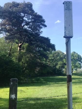
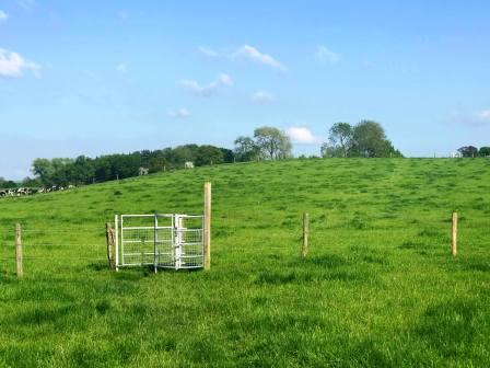
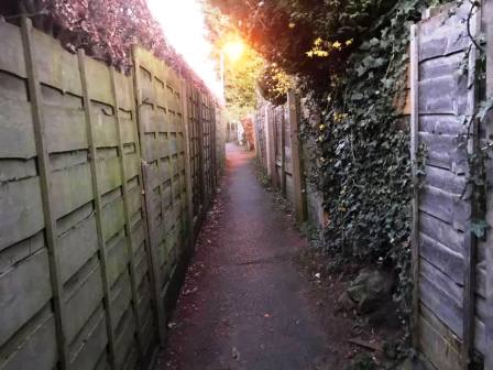
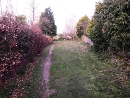
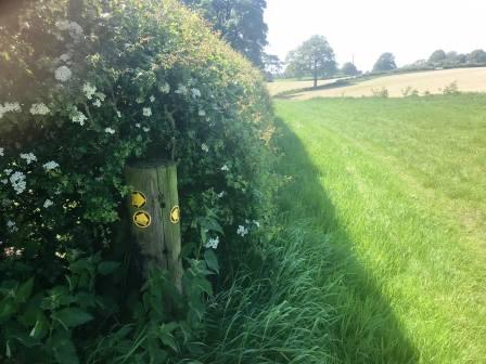
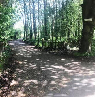
Continue straight on through more narrow ginnels, eventually emerging onto Newquay Drive. Continue onto Whirley Road, turning right to walk past a small farm on your left. Turn left through a kissing gate to walk along a straight footpath across the common land at Longmoss.
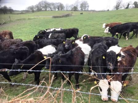
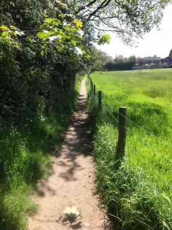
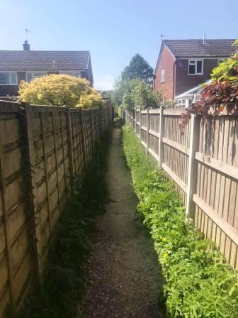
Continue onto the path between two barbed wire fences. Turn left at the end and follow the path into the residential part of Henbury village.
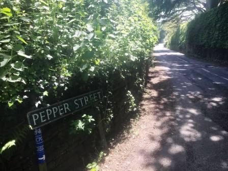
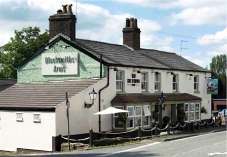
As the path emerges from the last alleyway, turn left and walk along Henbury Rise. Turn right into Church Lane, and walk with the church and then the Millennium Field on your left. Turn left into Pepper Street and follow down to the main A537 road and the Blacksmiths Arms.
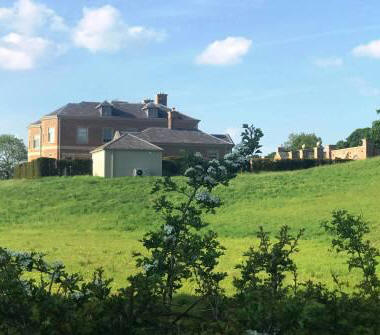
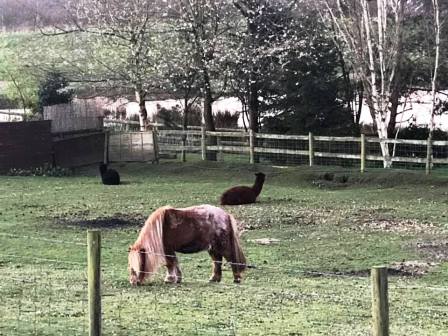
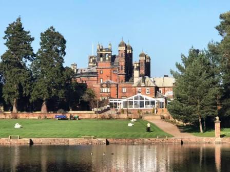
Continue over the crossroads onto School Lane which you follow down past Henbury Hall, visible on your right.
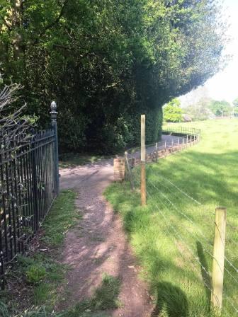
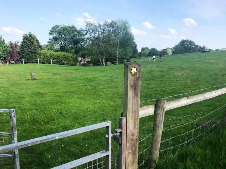
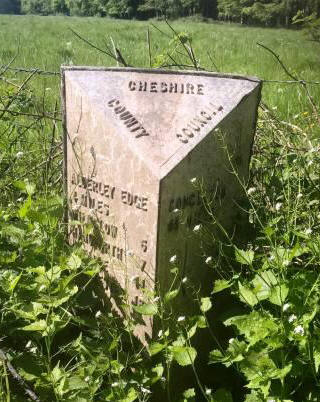
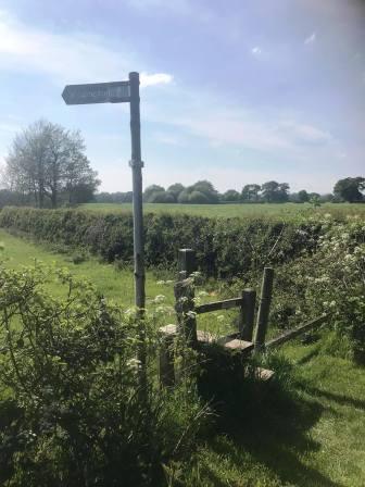
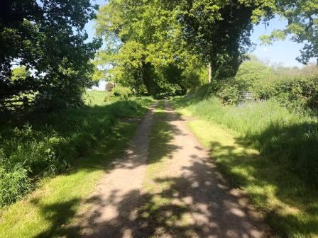
Continue beyond the junction with Bearhurst Lane on your left, and look for a wide drive on your left. This is a public right of way, and the next section of this route.
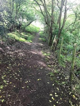
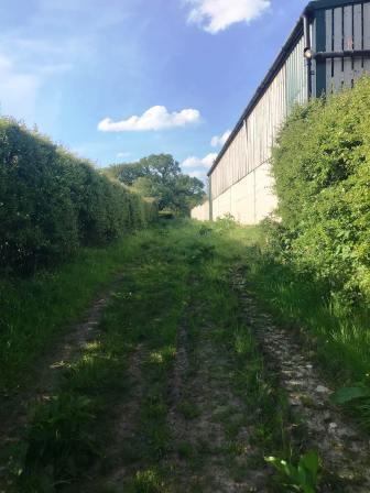
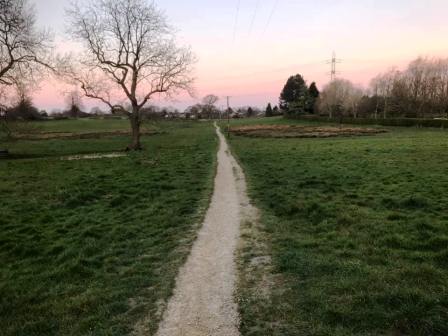
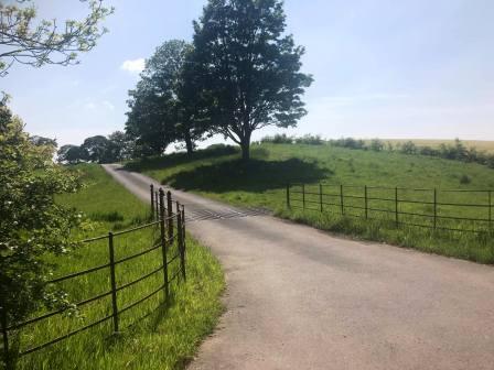
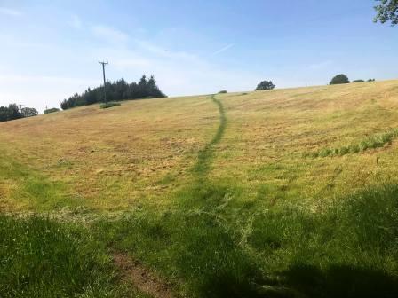
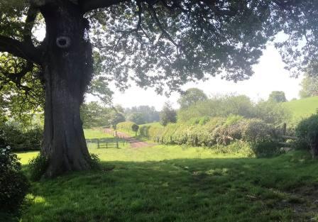
Continue up to the large hedge where there is an intersection of public footpaths. Turn right to follow the path down beside the hedge.
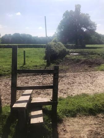
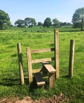
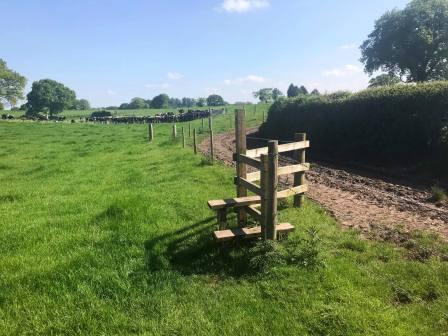
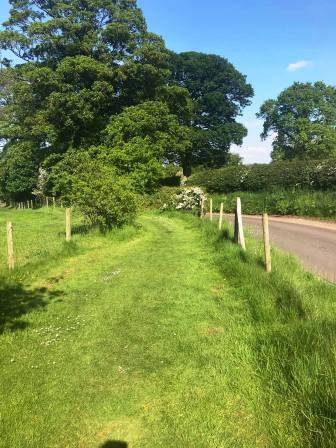
After a small dip, the path rises over a small mound. Follow the clearly trodden path, as shown above.
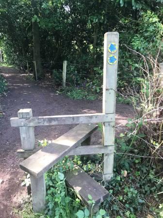
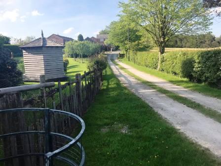
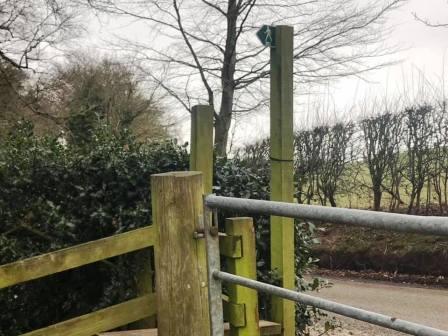
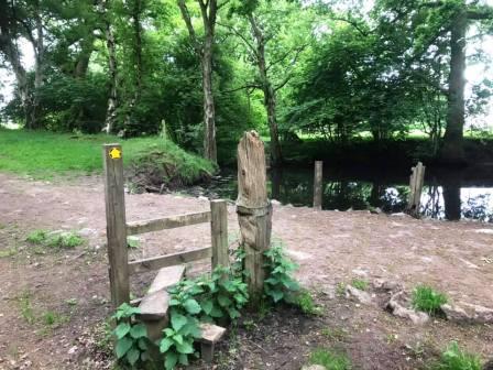
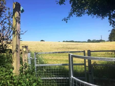
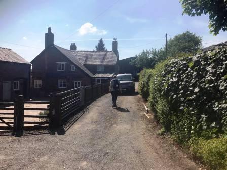
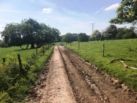
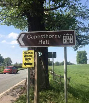
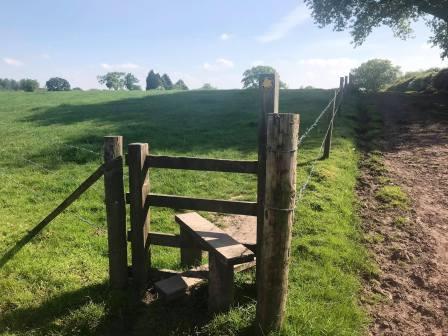
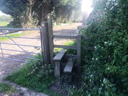
This section of path is a relatively new addition to the public footpath network, and emerges through a kissing gate onto Fanshawe Lane. Turn left and follow the road a short distance down to Lingards Farm. Turn right to take the public footpath through the farmyard and beyond towards Capesthorne Hall.
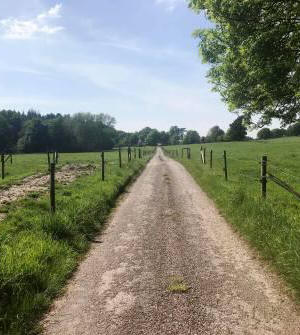
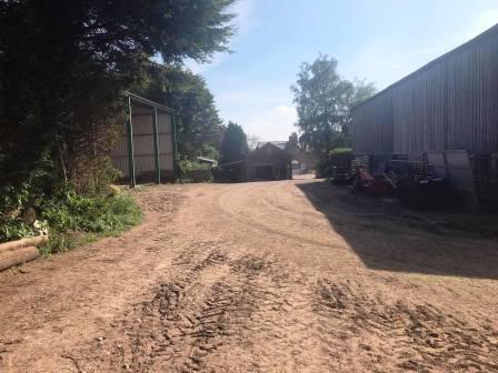
The path emerges from the farmyard initially on a grassy track. This later becomes a muddy concrete track, and then a good metalled road as it strikes directly for the A34 opposite the main entrance for Capesthorne Hall.
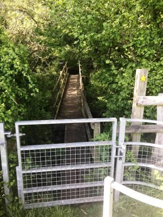
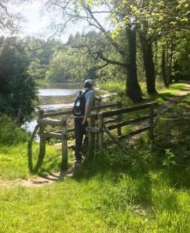
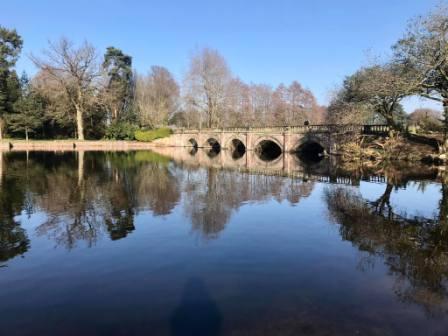
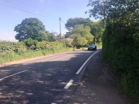
Turn left and walk on the pavement beside the A34 south for a short distance. Turn left onto the track towards Redesmere Sailing Club, but soon right over a wooden footbridge. This is a pleasant diversion that takes you through a small wood and beside the north shore of Redesmere, before returning to the A34.
Cross the A34 main road and continue on another public footpath through the Capesthorne estate.
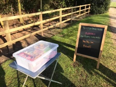
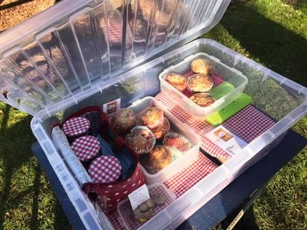
The path follows the opposite side of the water to the main Capesthorne Hall. As the estate is exited, there may be an honesty box type stall. The apple and raspberry crumble muffins are very highly recommended! In fact everything I've had from there is highly recommended. I think the stall is called "Stickybobs" or "Sticky Fingers" or similar (I must check!) - the only thing is that on fine days, everything tends to sell out relatively quickly. It is very popular!
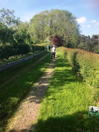
After the honesty box stall and cottage, cross over Mill Lane and continue on the public footpath opposite. This strikes sort of diagonally across the first field, then loops around a few fence boundaries. The route here is clearly waymarked.
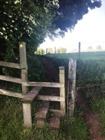
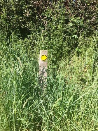
Continue crossing stiles and following yellow arrows! This leads you towards Blake House Farm.
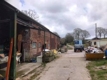
As you reach Blake House Farm, you cross a stile into the farmyard. Take the track to the left of the house to exit the farm.
The next turning is easily missed, so take care. If you reach the road, you have gone too far; look out for the left turning onto a track towards Siddington.
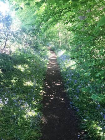
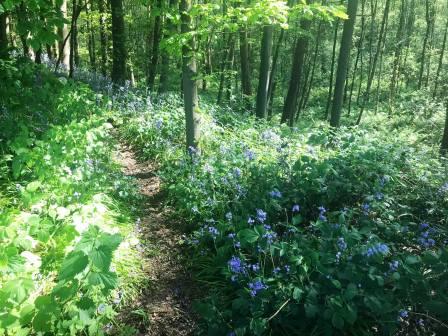
After passing by another farmhouse, the path veers slightly right into a delightful bluebell wood. This also offers some welcome shade on hot sunny days!
At a T-junction of paths, turn left and follow the route up to the A34 at Siddington. Turn right and follow the footpath a short distance beyond the village hall.
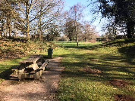
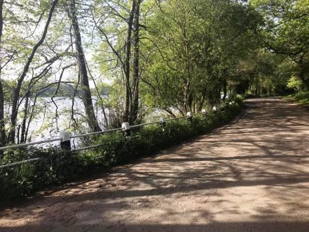
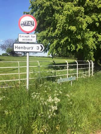
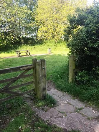
Turn left into Redesmere Lane. Look for the entrance to the picnic area on the left. Enter the picnic area then bear right to follow a pleasant grassy path beside the road.
Enter the picnic area then bear right to follow a pleasant grassy path beside the road.
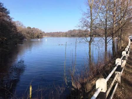
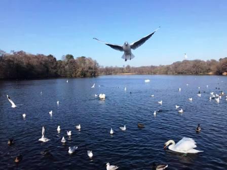
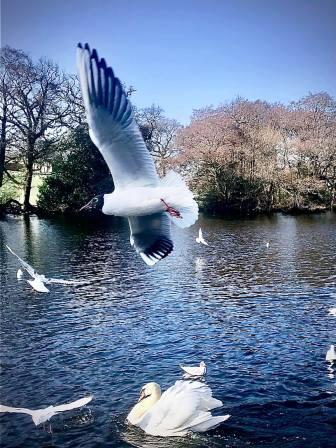
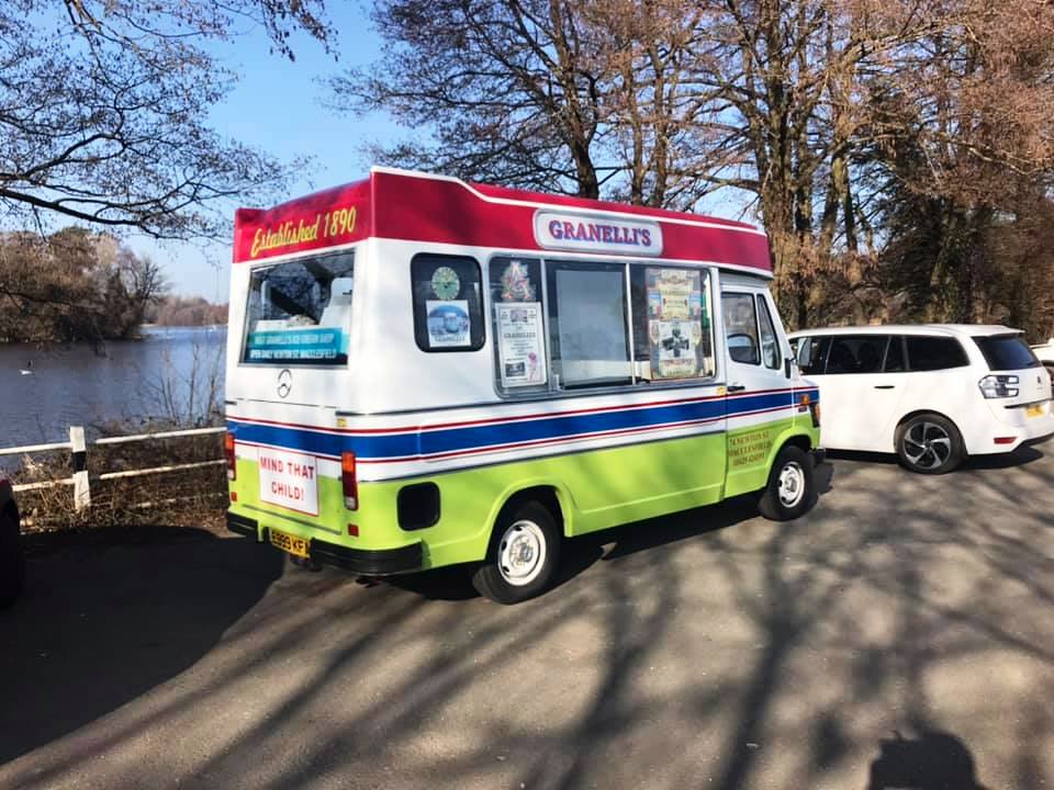
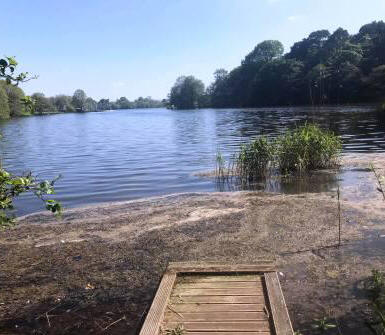
The path emerges back onto Redesmere Lane at the main parking area. There is usually a Granelli's ice cream van here and people feeding the many ducks, swans and gannets!
After feeding the birds, and maybe yourself with an ice cream, continue towards the south-east corner of Redesmere along the lane.
Follow around a couple of slight bends and start to look out for a public footpath leading off on the left.
Follow the public footpath signed as "Capesthorne". This path, if followed for its entireity, would lead past the sailing club and back to the A34. However, our route turns right at the first junction of paths.
Turn right and follow the footpath out passing Sycamore Farm.
At the road, cross over directly onto another public footpath, this one leading to Hazelwall.
The route passes over a small rise before joining a grassy path acros to Hazelwall.
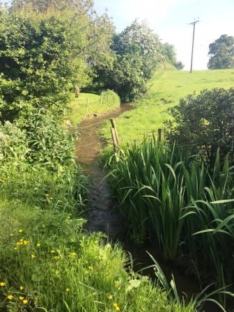
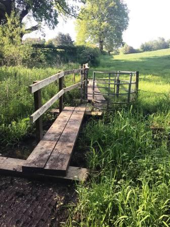
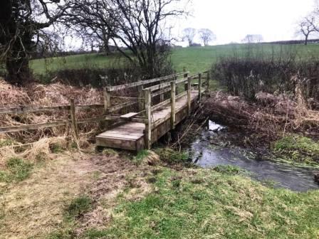
Turn left onto the track at Hazelwall to follow beyond the farm and buildings. As the path re-emerges from the small wood, it drops down through a field to cross Fanshawe Brook on a wooden footbridge.
On the other side of Fanshawe Brook, the footpath continues, a little boggy in places, and heads up to Springbank Farm.
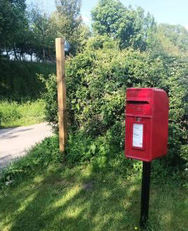
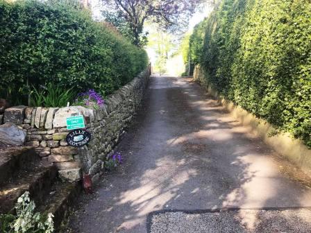
After Springbank Farm, the route rejoins Fanshawe Lane, which is followed for a very short distance before turning right at a postbox into another track. This heads past Hulmefield Hall, above you on the left, before turning left to pass Lilly Cottage. When the open field is reached, turn right and aim for the line of trees.
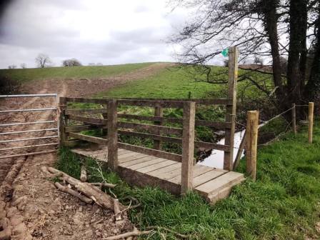
A wooden footbridge is crossed into Bearhurst Farm, then bear left to follow the fence line down to the road. The OS 1:25000 map suggests that the public footpath and exit onto Bearhurst Lane is about 100m from the fence, but in reality it is much closer. Stay close to the fence, and the stile onto the road is right in the corner of the field.
Turn right into Bearhurst Lane. Follow this around to a crossroads at Pexhill Road, which you go straight over into Dark Lane. Walk down Dark Lane, until a bridge stile is seen on the left. Use this to enter the field and begin to climb up to Underbank Farm.
After passing through the farmyard, this becomes a metalled road which runs parallel to Gawsworth Road and Pexhill Road, dissecting the two.
Near to this road's end, it meets New Farm at a sharp bend. Continue onto the path into New Farm and bear right towards the trees.
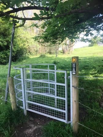
After passing a pond on your right, continue to follow the path on the right hand side of the field. Avoid the temptation to follow the path dropping to the left as any lost height will have to be soon regained. The line of the PROW heads towards another kissing gate in the right-hand corner of the field ahead, but the trodden path on the ground begins to veer left. At this point, trust the path on the ground. This heads through an open gateway into the next field on solid ground, whereas the area just beyond the kissing gate is so boggy as to be usually waterlogged!
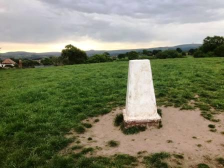
The path on the ground starts to veer right to contour around the side of the small hill, but continue straight up to the summit to take in the only trig point on the route. This is TP5093, nicknamed mischievously as "Great Weston Fell"! Head down to the kissing gate to exit left into Gawsworth Road. Turn right into Earlsway, but then take the second right into Kendal Road in order to avoid some further road walking!
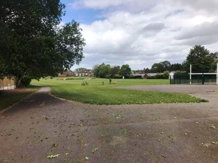
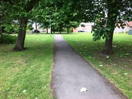
Almost immediately, turn left to follow a ginnel through to the recreational ground on the Weston. This can be followed for its entire length in order to only re-emerge onto Earlsway down beyond the old Weston pub.
Continue down Earlsway, then turn left for the footpath back across to Merebrook Road. The route is complete.
|
|
|

 `
`