.jpg)

|
|
|
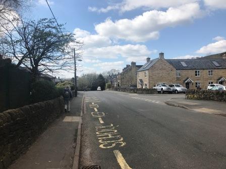
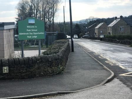
Route description & photos Start from Buxton Road, Chinley, in the vicinity of Peak School (SK23 6EN). There is plenty of street parking available on this road or on side roads.
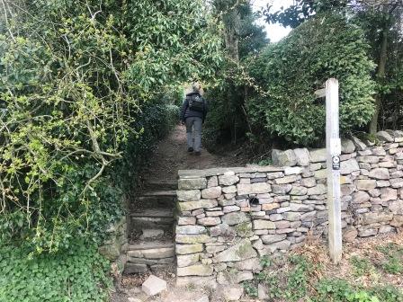
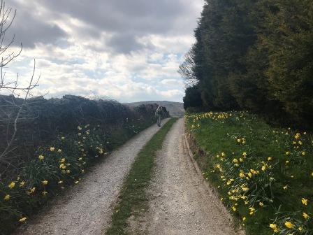
Walk west down Buxton Road to its end, then turn right to cross over the railway. Turn right again into Maynestone Road then quickly left into a public footpath up a few steps and between two hedges.
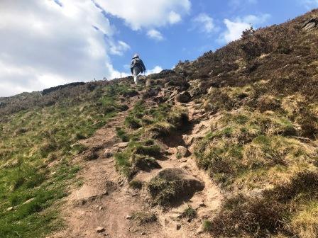
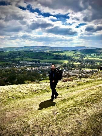
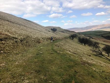
Continue straight ahead as the path begins to gently climb the hillside. The path becomes steadily steeper as it climbs towards Cracken Edge.
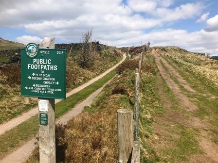
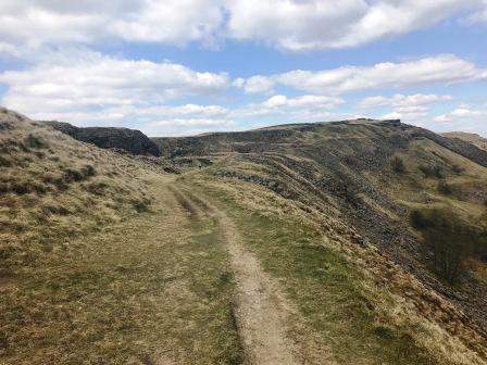
After a steep section, turn right onto the much gentler track running around the shoulder of the hill.
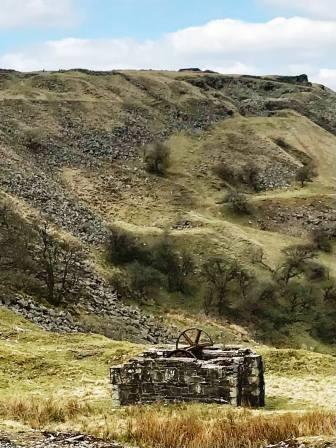
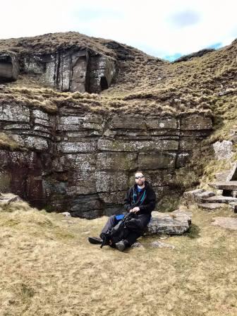
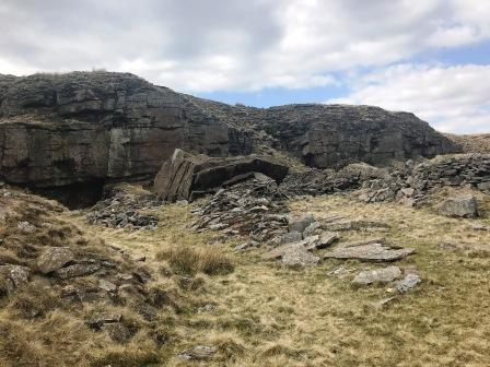
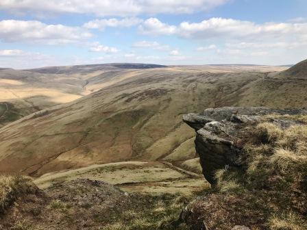
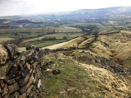
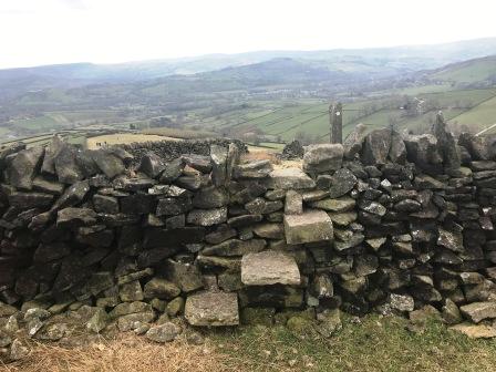
Continue along the path as it passes through the disused quarry workings along Cracken Edge.
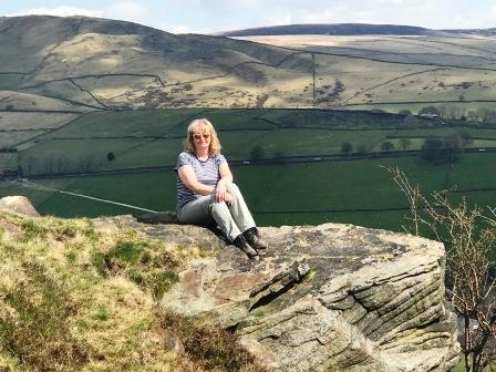
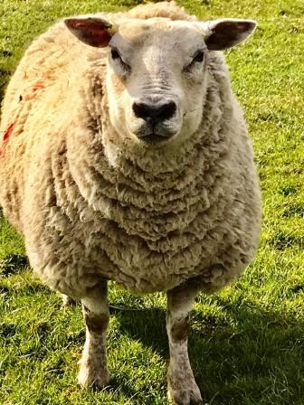
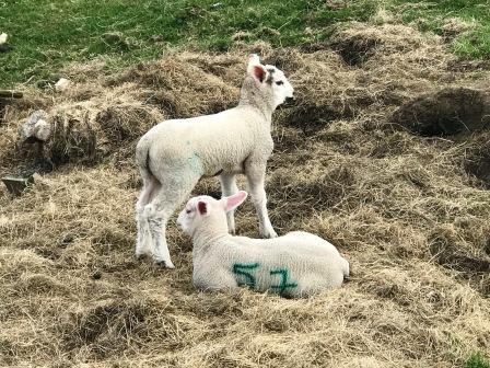
The old quarry workings offer plenty of quiet sheltered spots for a lunch stop.
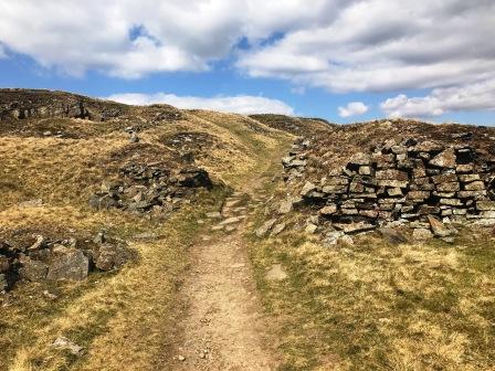
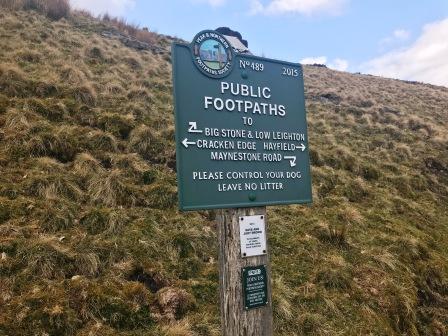
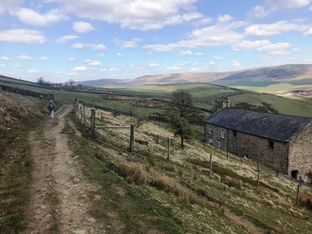
The path continues to run around and along the shoulder of the hill without ever striking for the summit. This is Chinley Churn, and a detour off this route (to the left) would be required to take in the summit. Note that a nearby trig point is not at the highest point of this hill!
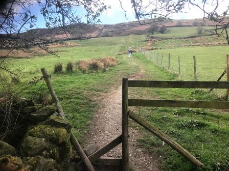
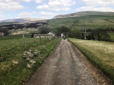
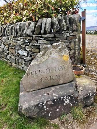
The path eventually begins to leave Cracken Edge and descend gently towards Peep-O-Day Farm and Hayfield.
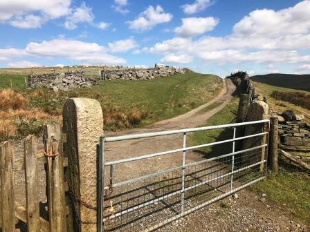
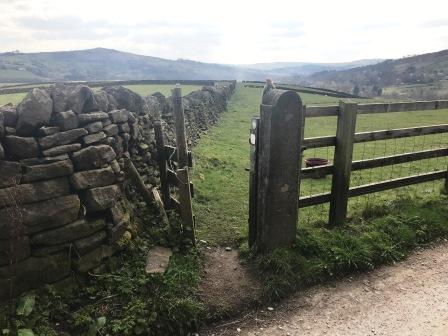
When a large gate is reached, pass through and turn right onto the track down to Peep-O-Day.
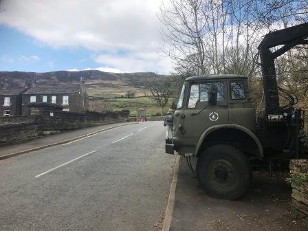
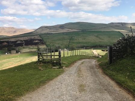
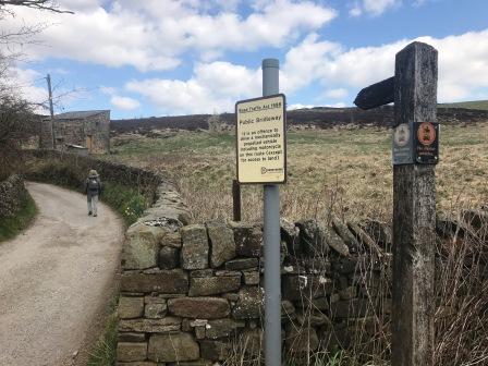
Walk down to Peep-O-Day Farm and the A624 Chinley-to-Glossop main road.
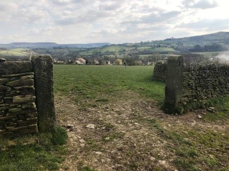
Cross the main road and turn left, then right onto a public bridleway. Follow for a short distance before and continue straight over the crossroads with the Pennine Bridleway.
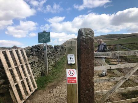
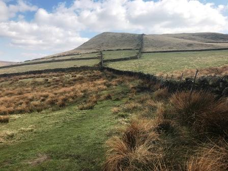
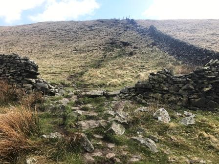
This track leads up to another wall. Pass through the gateway then turn immediate right to follow a trodden path alongside the wall towards the imposing looking Mount Famine.
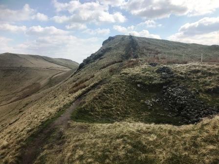
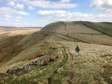
The gradient is gentle for the most part, but there is a sudden steep pull up to the summit of Mount Famine, possible requiring some (very) mild scrambling.
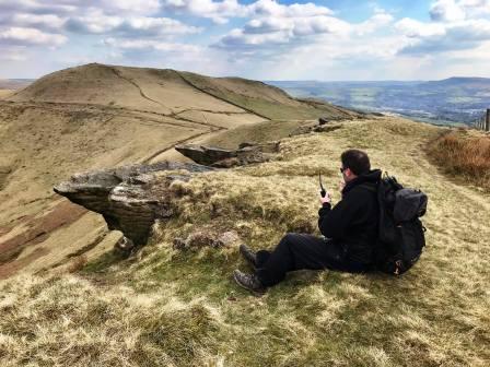
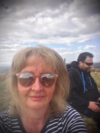
At the summit of Mount Famine, take a well-earned rest and admire the excellent views.
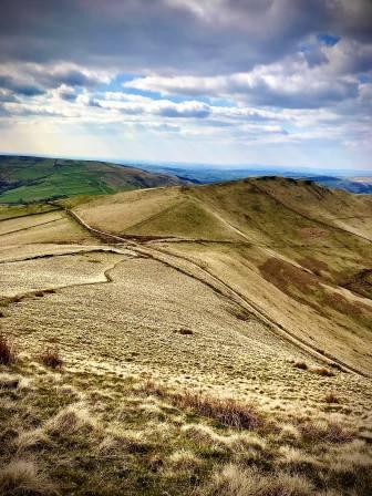
Continue on the path as it gently descends the south side of Mount Famine. the next summit of South Head now comes into view.
The path from Mount Famine returns to the Pennine Bridleway. Turn briefly left onto this, then bear right to take the path to South Head summit.
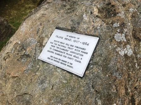
South Head summit is marked by a cairn. Just before the summit is a memorial stone to Frank Head.
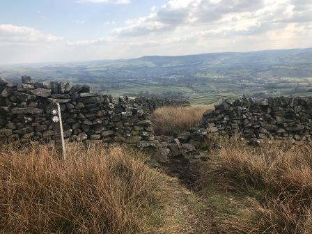
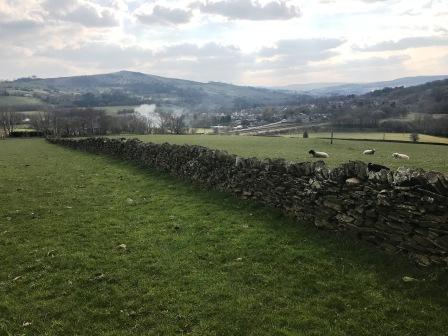
Bear right from South Head's summit cairn to follow a long descent down the ridgeline.
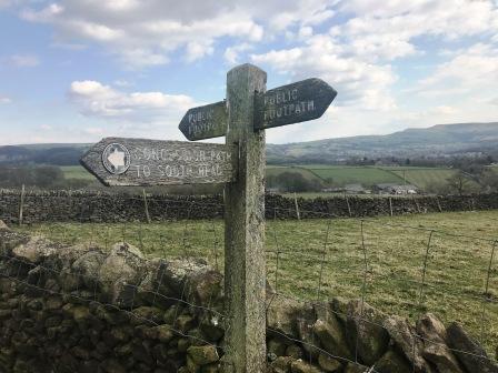
This path, while not marked on any OS mapping at the time of writing, is clear and well signposted on the ground.
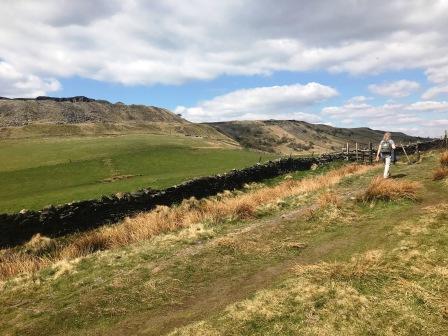
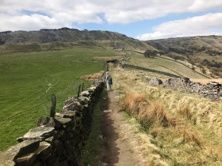
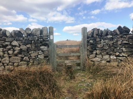
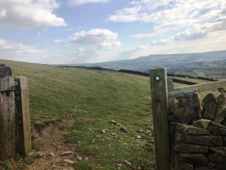
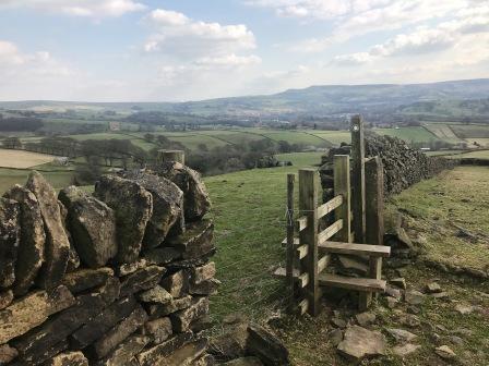
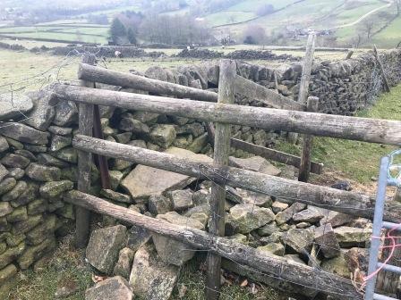
Several walls are passed either through gateways or over stiles.
After the third wall from the summit is crossed, you are now on a path that is marked on OS maps as a permissive footpath.
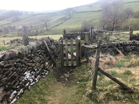
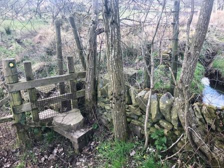
This continues down to a T-junction of paths, at which we turn right. A curious and slightly awkward double wall stile is soon crossed.
When the footpath meets a more substantial track at a T-junction, turn left onto this track.
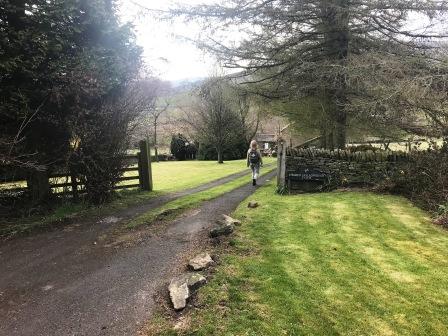
Turn right into the farmyard at Hollow Shaw and follow the narrow public footpath down the right-hand side of the farm buildings.
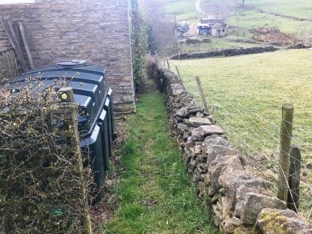
Continue down behind the farm buildings and over the stile at the bottom corner.
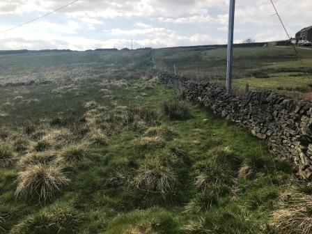
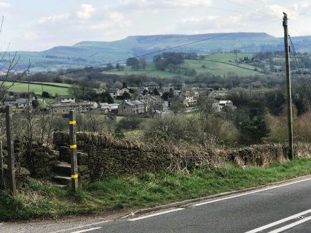
A rough path follows the dry stone wall and up to the road.
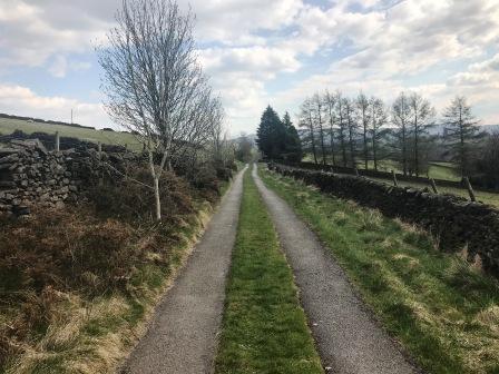
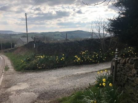
Turn left onto the road, and then right onto the track towards White Knowl Farm.
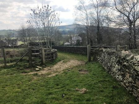
Almost immediately, turn left through a narrow gate to walk down beside a wall on your left. At a wide gateway opening, pass through and bear right.
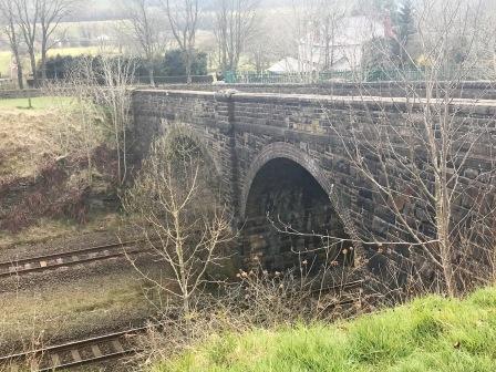
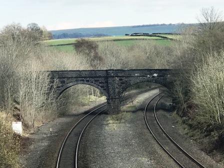
Keep walking beside the wall which is now on your right-hand side and onto the bridge over the railway line.
Walk over the railway bridge then continue ahead to the road.
Turn right onto the road to return to the start/finish point of the walk. The route is complete.
|
|
|