.jpg)

|
|
|
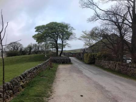
Route description & photos Start from Peep-O-Day Farm, just off the A624 Chapel-on-le-Frith to Glossop road (SK23 6AJ). There is good free parking here for several cars.
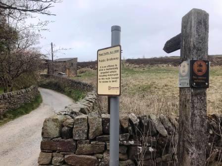
Turn left into the A624 (towards Glossop) and walk a few yards before crossing over to take the public bridleway.
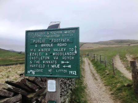
Follow the bridleway up to its junction with the Pennine Bridleway. Go straight across to take the Edale path.
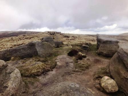
You will pass the north and of Mount Famine (on your right) then the path swings left to descend into Coldwell Clough. Turn right at the bottom and follow the farm road.
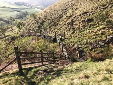
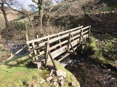
Alternatively, there is a faint path through the grass on the right, that heads more directly and steeply down. It crosses a couple of stiles and a wooden footbridge.
It is easy to miss; don't worry if you do because the main path drops into Coldwell Clough anyway.
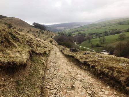
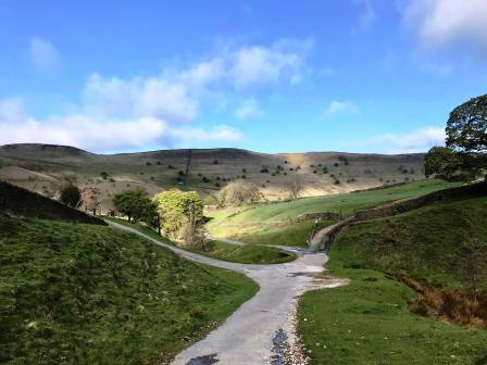
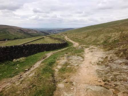
The road passes through the farm and industrial area before striking gently uphill towards the Kinder Scout mountain.
Eventually the track becomes rougher and stonier, but we press on and continue to gradually gain height.
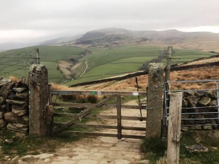
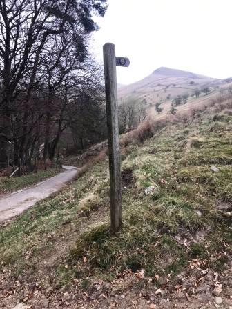
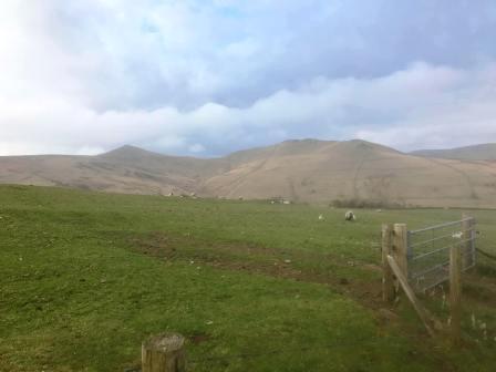
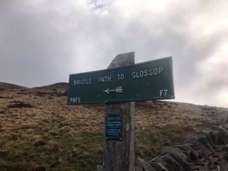
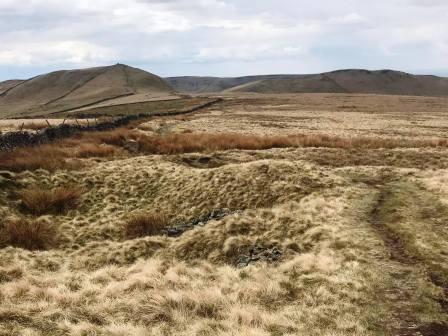
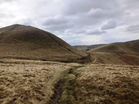
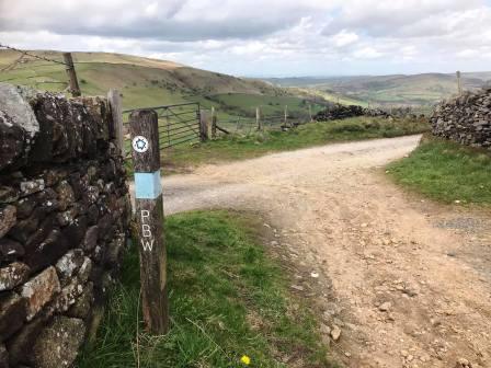
Glancing to your right, you should have good views of South Head and Mount Famine, which will be passed much more closely later in the walk. Turn left at the sign marked "Bridle path to Glossop".
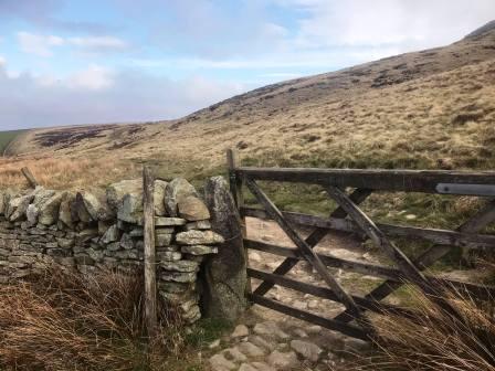
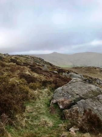
Remain on this path as it curves around Kinderlow End, but without appearing to get any closer to it. Don't worry though, is eventually it does!
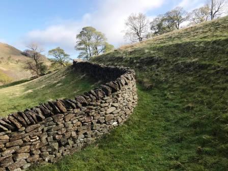
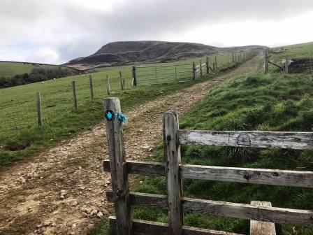
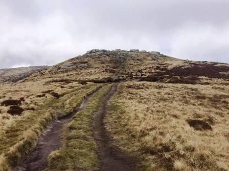
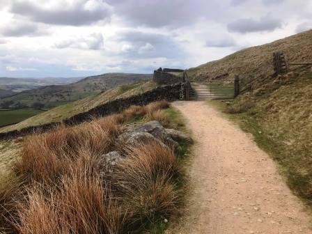
The path passes through another field boundary, and then a clear path strikes right for the distinctive and prominent Kinderlow End.
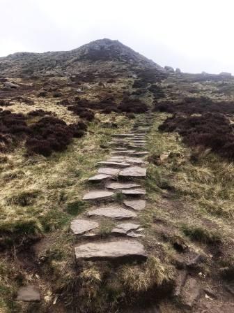
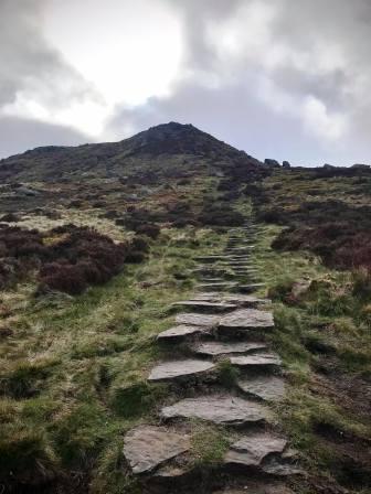
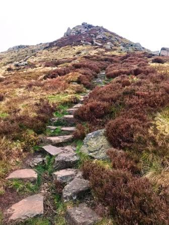
The climb up Kinderlow End looks like it's going to be steep and hard work, but when you get to it, it has a staircase arranged into it.
This makes it much easier to gain the height to the edge of the Kinder plateau.
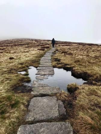
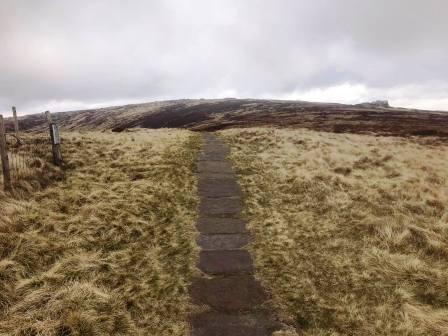
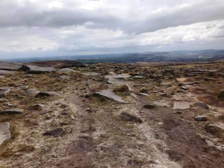
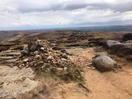
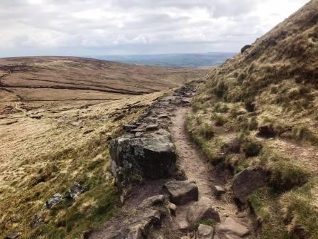
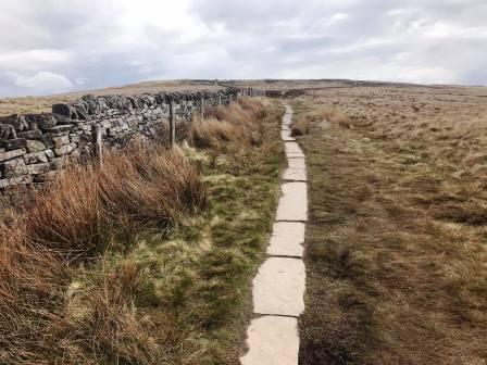
After reaching Kinderlow End, the gradient eases dramatically, and a very gently sloping path leads the rest of the way to the trig point at Kinder Low.
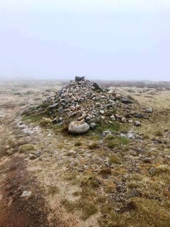
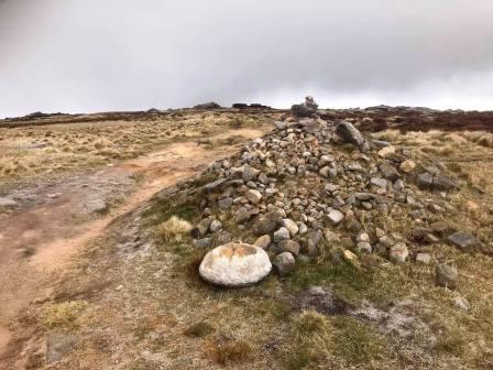
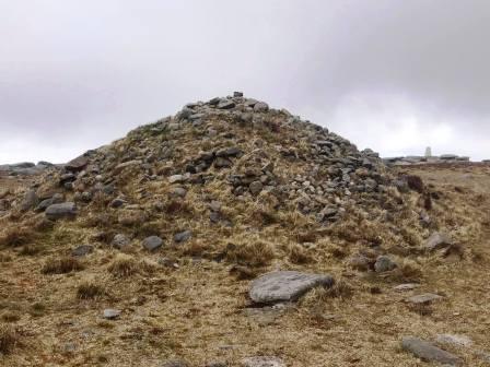
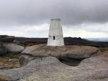
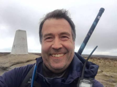
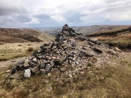
The footpath is flagged in places and passes a few large cairns. The trig point at Kinder Low stands at 633m ASL. The actual 636m summit of Kinder Scout lies a further kilometre to the north-west.
Kinder Low is my usual destination for a walk up "Kinder Scout" though. The true summit just has a small cairn.
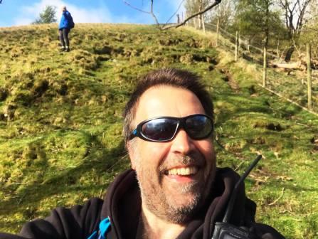
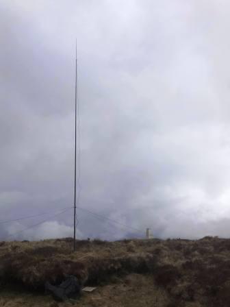
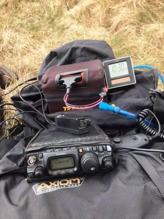
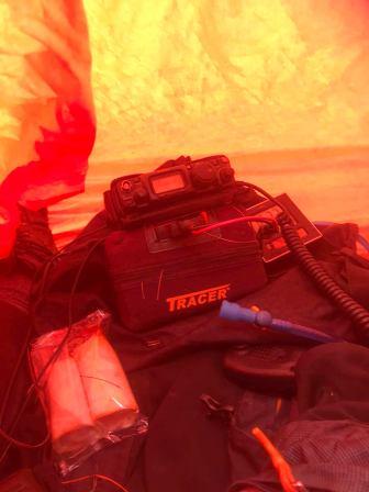
Kinder Scout is one of the so-called "Marilyn" summits - meaning it has at least 150m of topographical prominence. Therefore it is one of the qualifying summits for the SOTA - Summits on the Air amateur radio awards scheme.
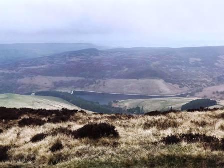
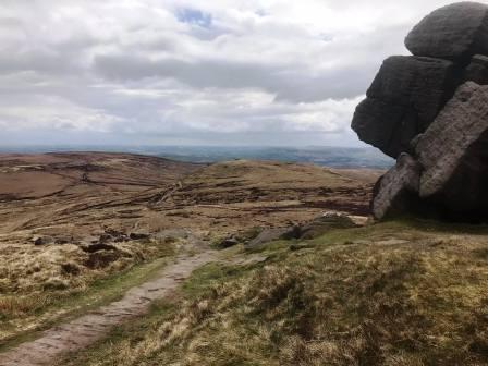
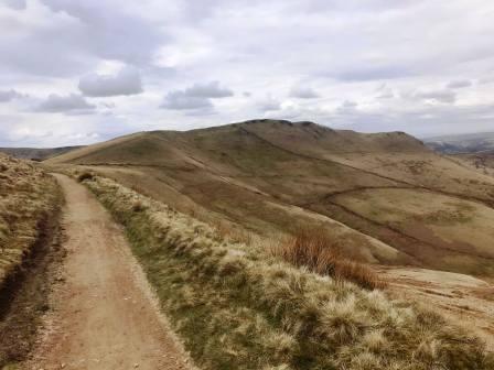
The descent is commenced by following the Pennine Way route down past Edale Rocks.
More large cairns are passed, and the Pennine Way path drops to a crossroads of paths after contouring around Edale Rocks.
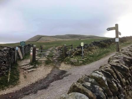
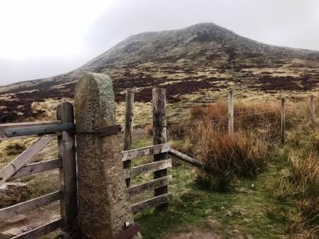
At the junction of paths, to the left is the Pennine Way down to Edale, and to the right is the bridleway back to Coldwell Clough, visited earlier. Ignore both of these, but pass through the gate to continue straight on ahead towards Brown Knoll.
Brown Knoll rises to your left. If you wish to make an short optional detour to visit the trig point, wait until a substantial stile and obvious path on the left.
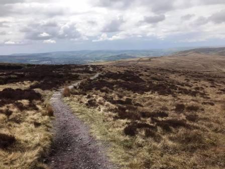
Continue on the path as it gently drops towards the increasingly imposing South Head.
As the steep slopes to the summit of South Head are reached, so is the Pennine Bridleway, onto which we turn right. Walk along the track as it contours the lower slopes of Mount Famine, which rises to your right. Continue down to the crossroads of paths visited earlier, and turn left to follow the bridleway back to the A624 road.
Cross the road, turn left, walk along the grass verge, and then turn right to return to Peep-O-Day Farm. The route is complete.
|
|
|