.jpg)

|
|
|
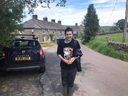
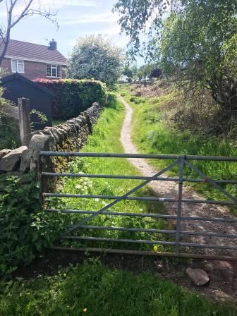
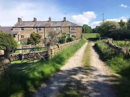
Route description & photos Park on Kishfield Lane, Kettleshulme (SK23 7RB). There is space for a couple of cars between a gate and track on the bend of the road. Walk down Kishfield Lane with the cottages on your left.
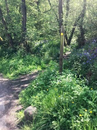
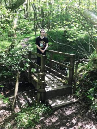
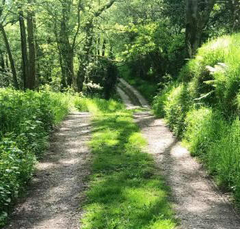
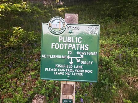
Continue down the lane until you see a public footpath going off to the right into a wood. After crossing the footbridge, take the left fork of the paths, both off which now head uphill.
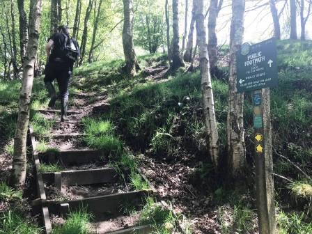
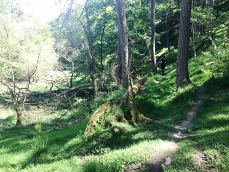
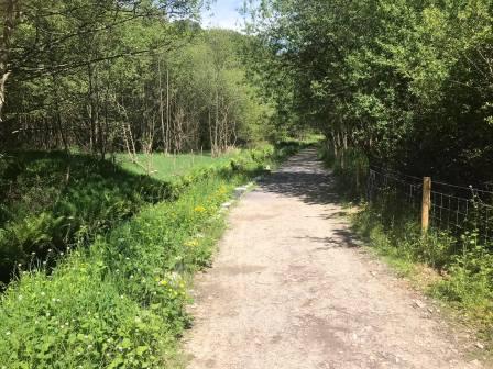
The path at this point is signposted for Whaley Bridge. Continue ahead on the pleasant woodland path.
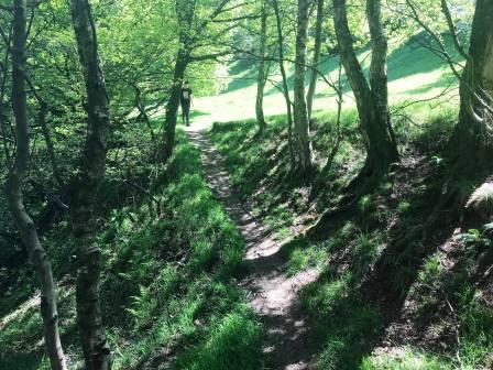
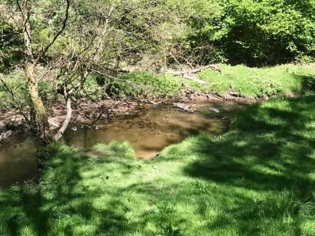
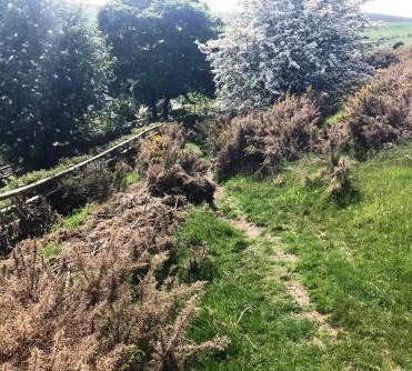
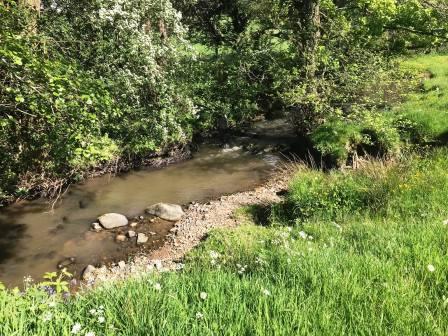
Bear left on the path to continue with Todd Brook underneath you to the left.
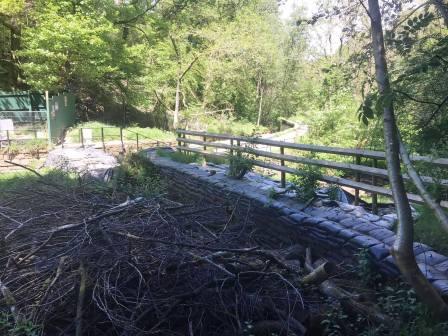
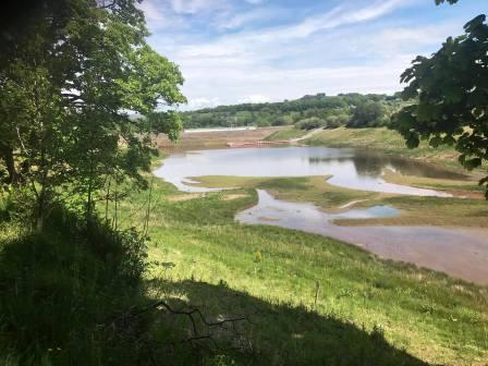
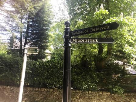
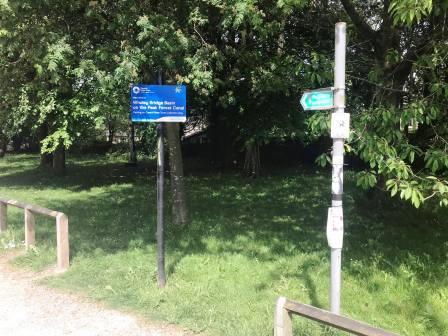
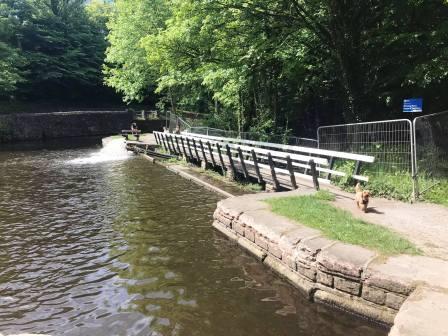
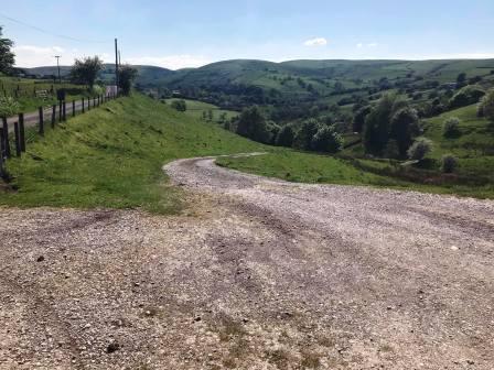
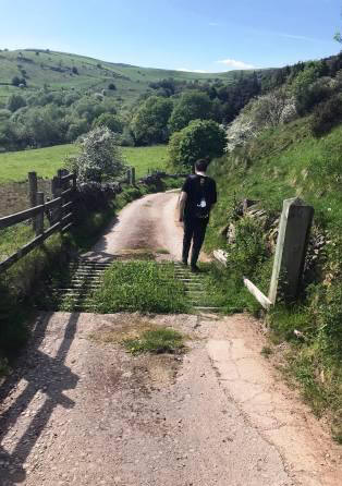
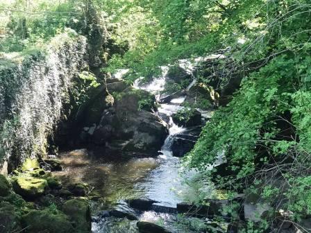
The path emerges from the trees at a weir at the western end of Toddbrook Reservoir. Cross the weir* to join the main reservoir track. [Please note that at the present time, the public footpath route over the weir is closed due to works].
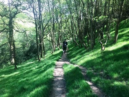
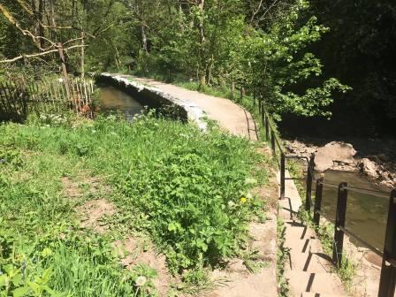
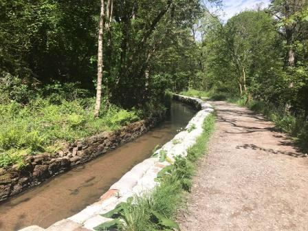
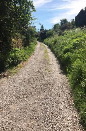
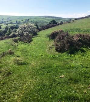
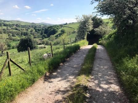
A good track now leads between a small stream, and the large Toddbrook Reservoir. It is a while before the views over the reservoir open up.
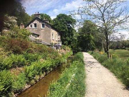
The path continues past some cottages on the left, and the views over Toddbrook Reservoir begin to appear on the right.
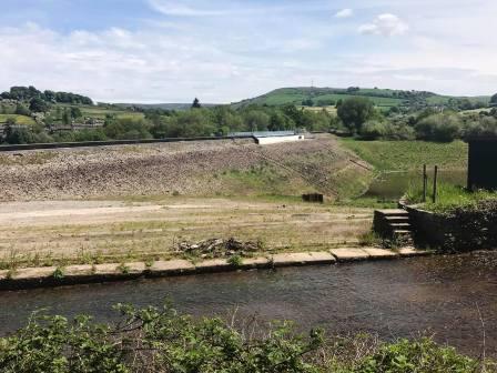
The reservoir level was very low at the time of writing, probably due to the reservoir being mostly drained in order to facilitate the emergency works on the dam wall.
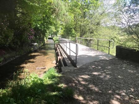
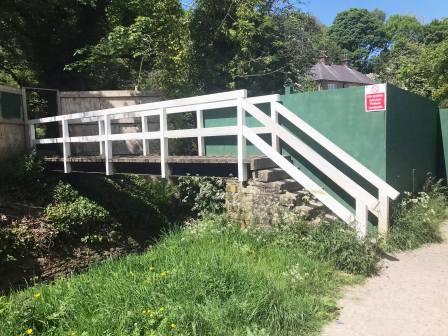
The path is currently closed as it nears the dam, but our route exits over a footbridge on the left.
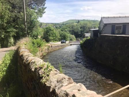
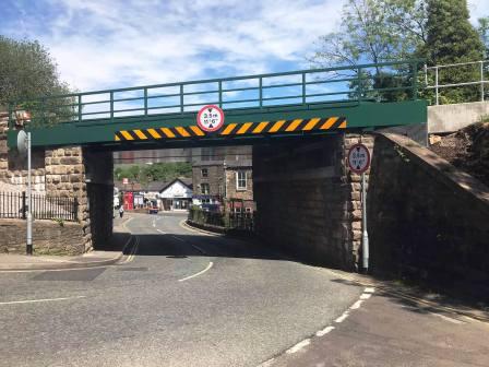
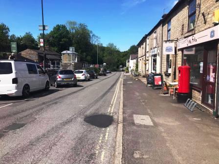
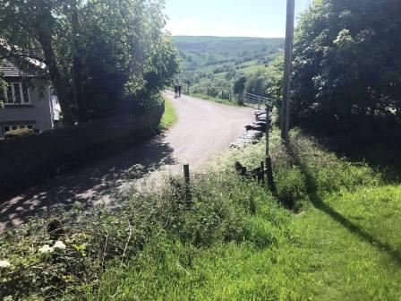
Turn right to walk down Reservoir Road into the town centre of Whaley Bridge.
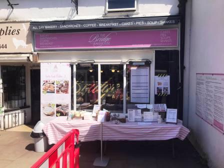
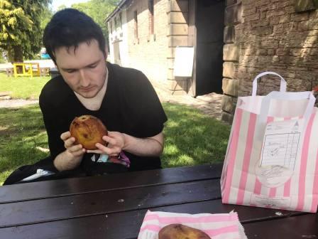
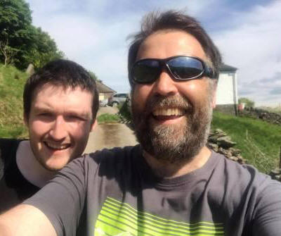
You could do a lot worse than pick up lunch at the Bridge in Whaley. The hot and cold sandwiches, made to order, are really good, as are the homemade pies. They often have a spciy jackfruit pie available, which is highly recommended. Good coffee and traybakes available here too. No need to go hungry on this route!
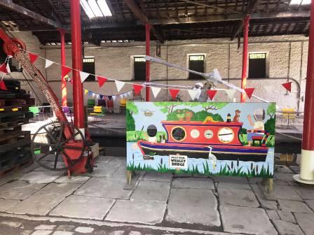
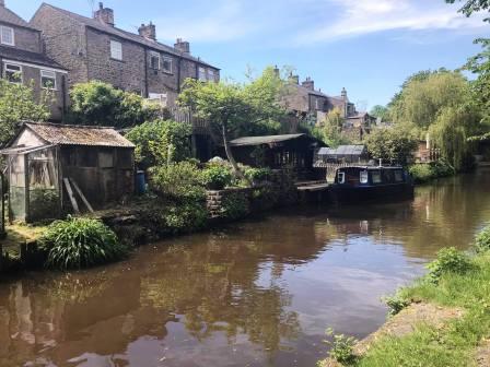
Walk down the side road that drops beside and below the main A6 road. This leads to the canal heritage area, where there are picnic tables for you to enjoy your lunch!
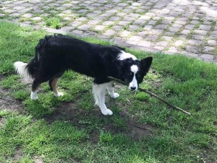
There is often a very friendly dog hanging around High Peak Heritage Crafts, who will likely bring you a stick in the hope you'll throw it!
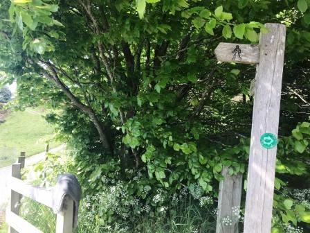
To continue the walk, pass around the back of the old canal terminus building, and onto the public footpath.
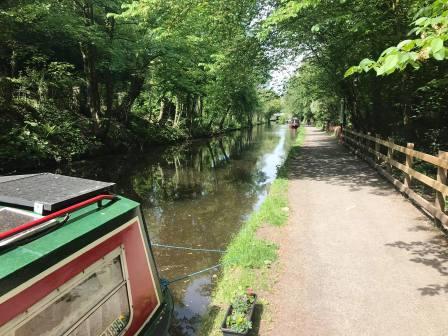
This leads, via a narrow footbridge, to the canal towpath on the right-hand side of the canal in the direction we are walking.
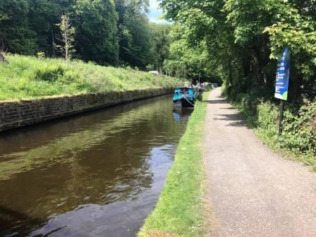
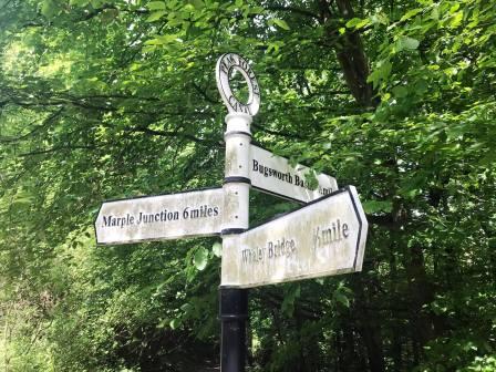
At a canal junction, where you could turn right to walk up to Buxworth, cross over the footbridge to continue on the same canal in the same direction as before.
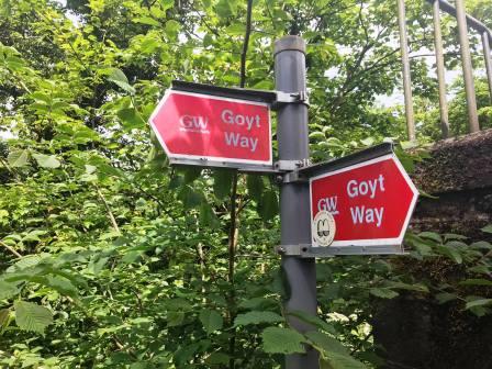
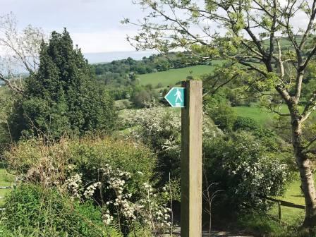
This part of our route is on the Goyt Way trail.
We continue along the canal in the direction of Marple.
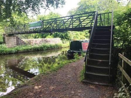
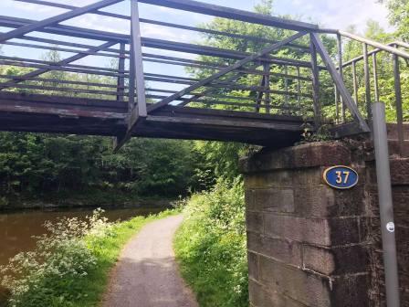
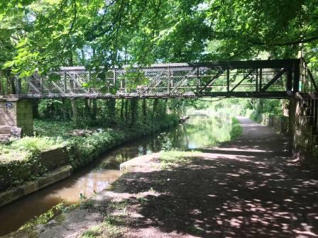
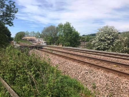
After passing under two main road bridges, look out for a metal footbridge, which is our exit from the canal.
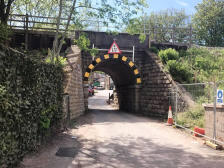
Cross over the main road and continue ahead to pass under the viaduct. Immediately after the viaduct, turn right to follow a public footpath up to the railway line.
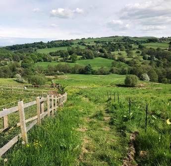
Continue on the path as it rises and starts to veer away from the railway. Cross a stile into open farmland and turn sharp right to follow the fence up towards the farmhouse.
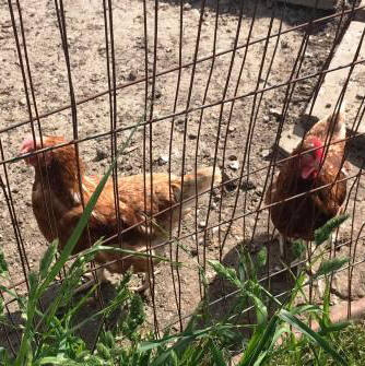
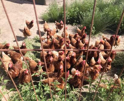
Look out for the chickens on your left!
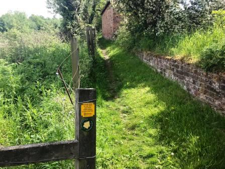
The path emerges at Hockerley. Continue between houses towards a gate and field. Enter the field via a stone stile to the right of the gate. Turn left to follow the path along the field boundary.
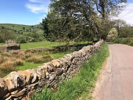
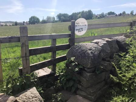
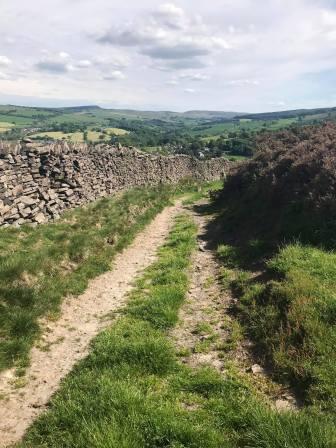
Continue along the path with the dry stone wall on your left. The path emerges at Stoneheads. Bear right to walk up to the main road.
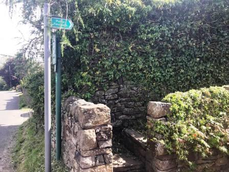
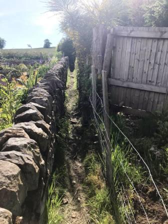
Cross over the road to join another public footpath that begins through a narrow walled passageway.
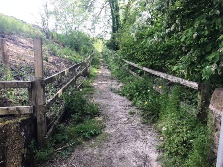
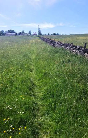
After a short narrow path between a wall and a fence, the route enters open country. Head diagonally left towards some trees.
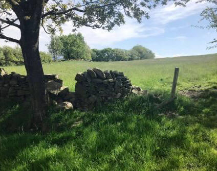
Pass the trees and continue to head sort of diagonally across the field, slightly uphill. Look ahead and look for a slight 'gap' in the wall. This is the crossing point and you should head towards this.
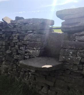
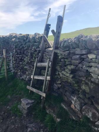
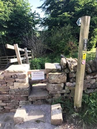
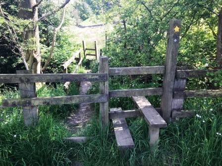
There are two wall crossings in relatively quick succession. The first is a wall stile through a gap in the upper part, and the second a ladder stile.
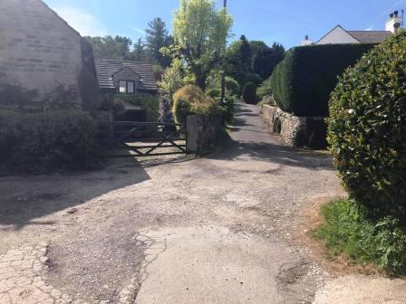
Bear left to follow the track beside the stone wall. Partway down this slope, where it looks like a track "might" be leading off to the right, follow this. Soon there is no indication of any path of the ground, but continue through the field and begin to drop towards the houses on the left. A narrow path between gorse bushes leads past the houses and down to Start Lane (the continuation of Kishfield Lane where we were earlier).
Turn right to walk a very short distance along Start Lane before heading right into another public footpath. There is quite a junction here; we take the track on the most immediate left, which weaves downhill.
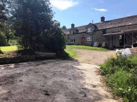
At the bottom, turn right to follow another track which starts to climb gradually. This leads to New House Farm.
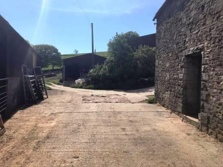
Pass through the farmyard and continue down the track. You will pass through more farms.
At Cornhill Farm, you bear right into the farmyard in front of the house, then left to continue back out into country.
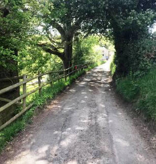
A track now leads you down past Bailey's Farm and to a country lane. Turn right into the lane and walk up towards Cornfield Farm.
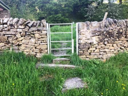
Just past a house on the left, turn left over a wall stile into a public footpath. This leads downhill, and some of the ground here can be a little boggy.
The footpath continues over stiles and through farmland.
You will find yourself walking with Todd Brook on your left, and the ground rising to your right. Look out for a metal gate in the wall above you on your right; this is your route - and is easy to miss!
Pass through the gate and turn left onto the track.
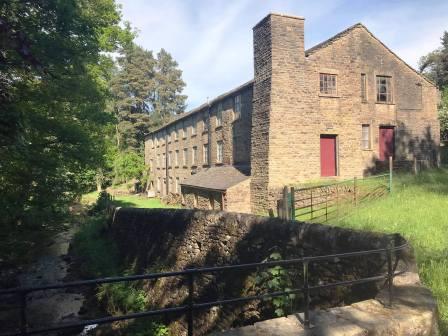
The track leads past an old mill and again over Todd Brook.
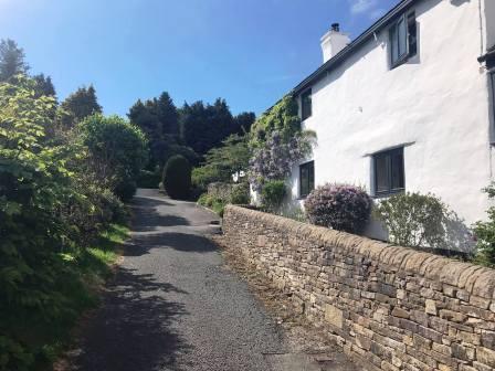
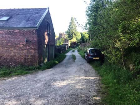
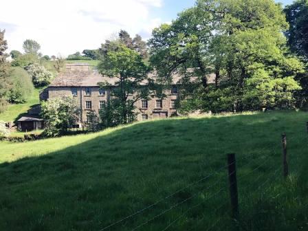
As the track gently ascends, you will now see the cottages from the very start of the route, up ahead.
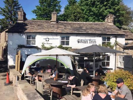
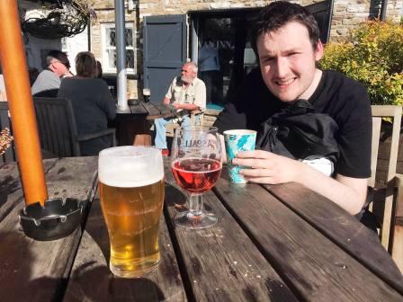
At the end of the track is Kishfield Lane, and the route is complete. The Swan Inn at Kettleshulme is handily placed for suitable refreshments!
|
|
|