.jpg)

|
|
|
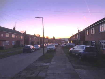
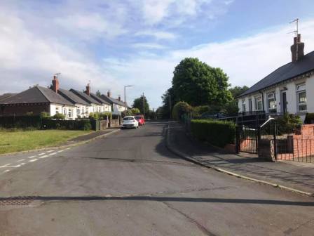
Route description & photos (This webpage is still under construction!) Start anywhere on Merebrook Road (SK11 8RH). Walk to the top of Merebrook Road and out onto Chester Road via Colville Road. Turn right towards Macclesfield. Look out for an opening in the wall on your left. Turn into a path, and then immediately right to walk on a good path more or less parallel to the road. This returns you back onto Chester Road down a few steps. Turn left into the Villas Estate and then right into The Uplands. Look for an open gate on your left leading into the cricket ground.
Walk along the path and then car park of the cricket club and exit the main entrance onto Victoria Road. Walk straight over into The Whitfields and head through the residential estate. Turn right into Bittern Grove "The Peanut" and out through an alleyway near its opposite end. Shortly after you emerge from the alleyway, turn right into Wren Close, and then quickly right again into another alleyway. This leads out onto Prestbury Road. Turn right, and then left into Bollinbrook Road. Walk about three-quarters down the length of this road, then turn right through a gateway into the cemetery. Walk across the cemetery to its entrance onto Westminster Road, opposite the Pack Horse Bowling Club.
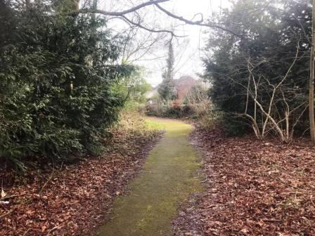
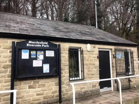
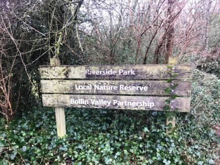
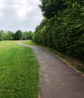
Pass to the left of the Pack Horse Bowling Club along Abbey Road before bearing right to walk down a ramp path into the Bollin Valley. Cross the footbridge and turn right onto the Riverside Park footpath.
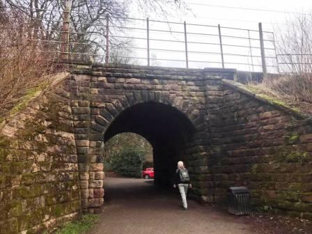
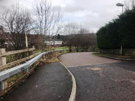
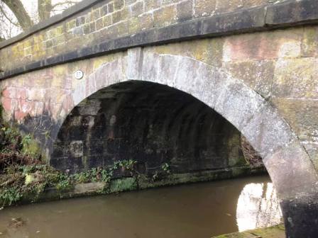
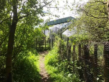
After passing under the railway viaduct, walk through the Bollin Valley Riverside Park car park to the road.
Cross over the main road, turn right over the bridge, and then left onto a track / public footpath.
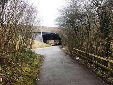
Continue straight ahead through the tunnel under the A523 Silk Road.
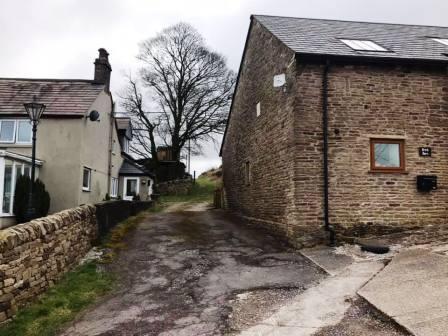
head towards and through Brink Farm.
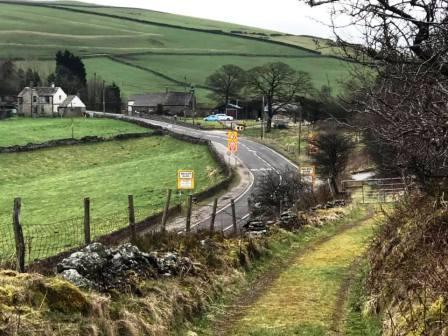
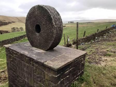
The path descends to the main A537 Macclesfield-to-Buxton road. Cross over, pass the former Setter Dog pub, and continue to the Peak District National Park boundary stone. Just beyond this, take the stile into the field.
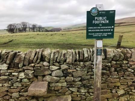
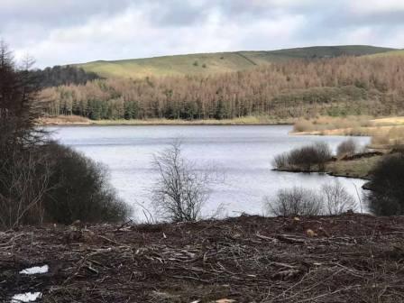
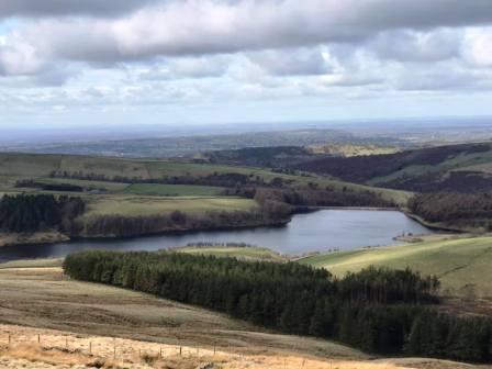
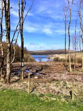
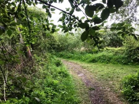
Follow a series of grassy paths through the fields towards Lamaload Reservoir. Where there is a fork in the paths, bear right.
Continue on the path as it works its way around the south of Lamaload and then joins a road. Turn left onto the road and walk down towards Lamaload.
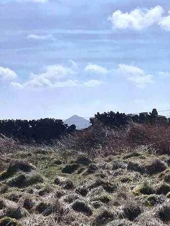
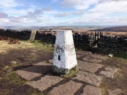
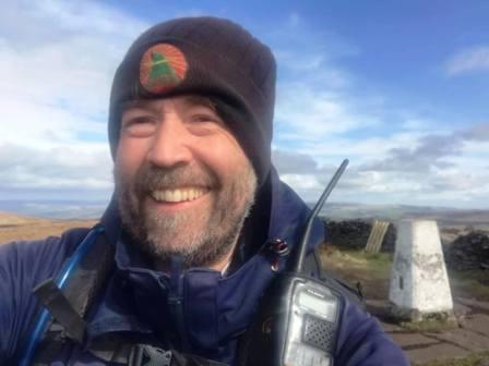
At a corner in the road, turn right onto a public footpath. This weaving and undulating path takes you all the way to the summit of Shining Tor.
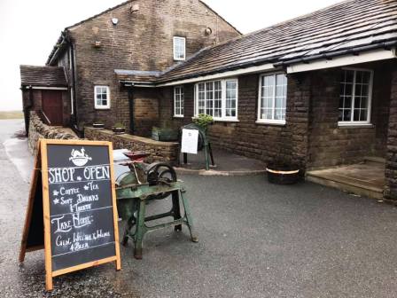
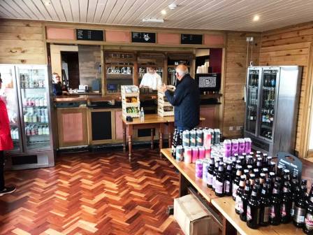
From Shining Tor summit, descend towards the Cat & Fiddle. Turn right at the T-junction of footpaths, pass through the kissing gate through the wall, then follow the established track down the the main A537 Macclesfield to Buxton road. Continue the 200m up the road to the famous Cheshire pub.
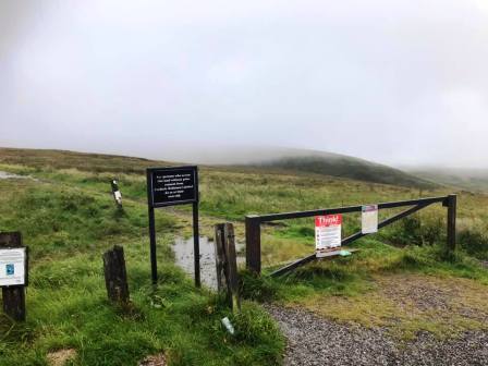
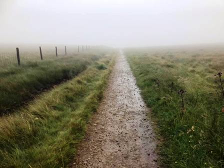
Cross the road to take the bridleway over the moor directly away from the Cat & Fiddle.
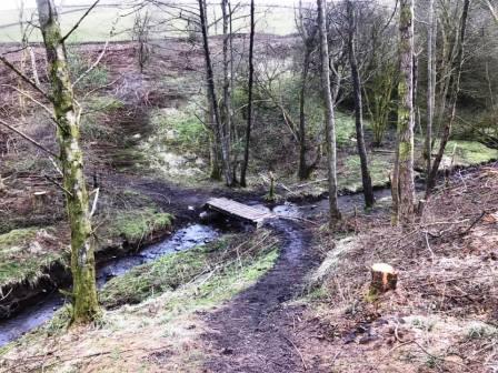
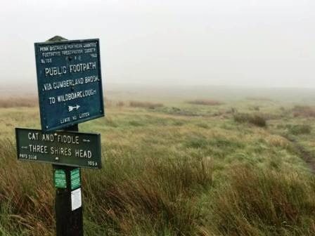
At the signpost, continue straight on for Three Shires Head. This brings you to the main A53 Buxton to Leek road. Cross over the road and climb down the ladder stile into the field ahead.
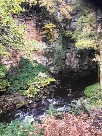
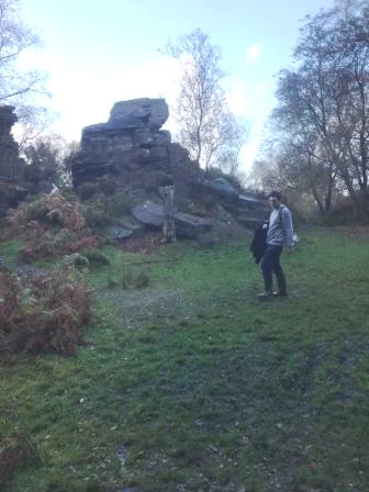
Bear left onto the path to begin climbing more steadily and away from the river. This tops out at a large rock formation.
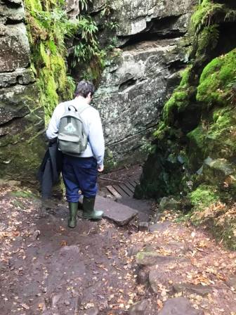
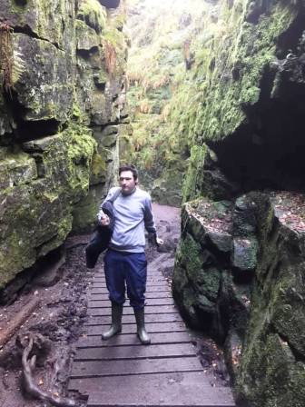
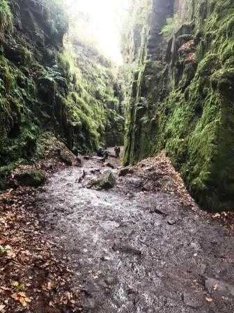
There is a maze of paths available here; follow the path clearly signed "Lud's Church". Turn right into the chasm entrance, then follow around and down to the left.
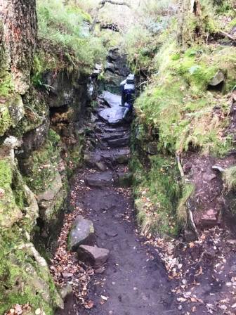
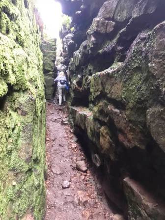
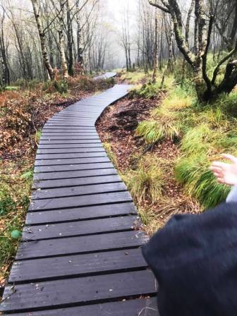
The route bottoms out deep into the chasm before climbing back out through a very narrow squeeze.
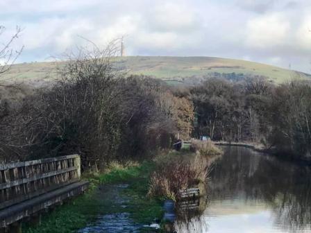
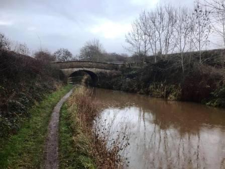
Join the Macclesfield Canal towpath and turn right to follow towards Macclesfield.
This towpath now leads all the way back to the southern outskirts of Macclesfield.
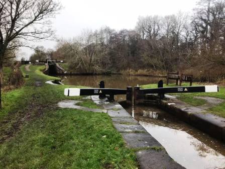
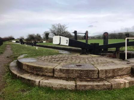
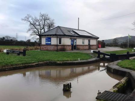
The full flight of twelve locks at Bosley are encountered. These allow the canal to climb a total of 36m.
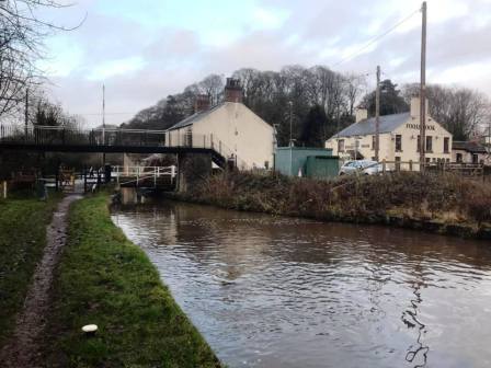
Continue on the towpath at Fools Nook.
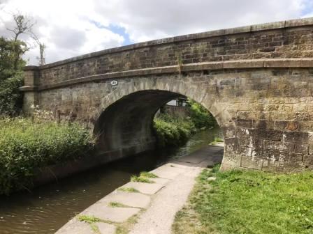
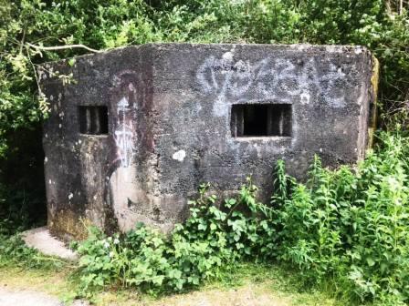
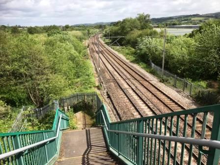
Exit the canal at the bridge at Gaw End Lane. Walk past the World War II pillbox and cross the footbridge over the mainline railway tracks and into Danes Moss.
Follow the path until an obvious junction of paths marked by a white post. Prior to this, there appear to be possible diversions to the left; ignore them - wait until you see the white post and a clear path going off to the sharp left.
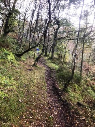
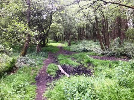
Follow the the trodden path as it weaves its way through the woods. When it meets a more substantial path at a kind of T-junction, turn right.
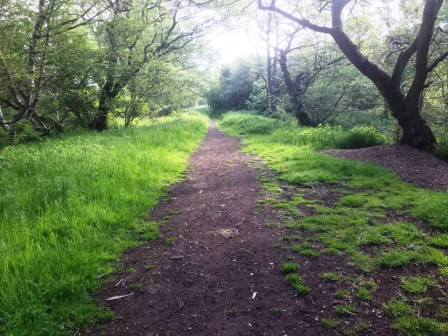
Turn right onto a more substantial and very straight path. This takes you all the way to Moss Lane, which you follow for a very short distance before turning left into Stamford Road.
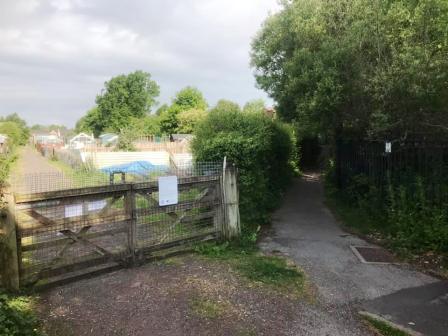
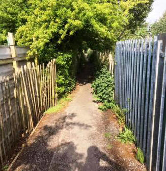
Follow Stamford Road to a sharp corner bend. At this point, turn left into the public footpath through the Moss Lane allotments. There are many allotments here, and usually quite a few people out tending to them.
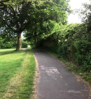
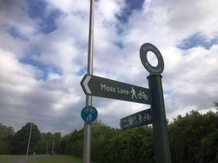
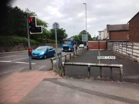
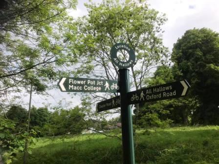
Ignore a couple of right turns off the path, keeping straight on between the allotments. The path emerges onto the southern end of the Flower Pot Greenway. Bear right to follow the greenway route up to Park Lane, near the Flower Pot junction.
From this point, the official route of the Flower Pot Greenway goes up Ivy Lane before turning right into Sycamore Crescent. However, this is not a particularly satisfying option following estate roads in a residential area. For a much better route with longer sections of non-roadside footpaths, follow the main Oxford Road for a couple of minutes, before turning left into Brooklands Avenue.
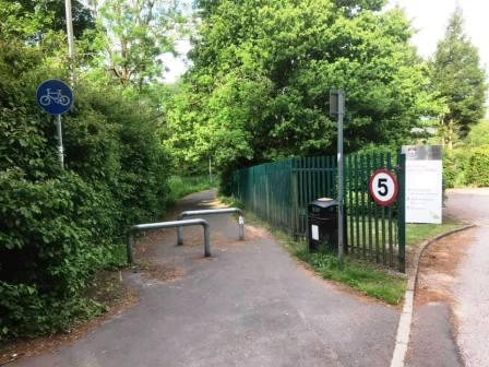
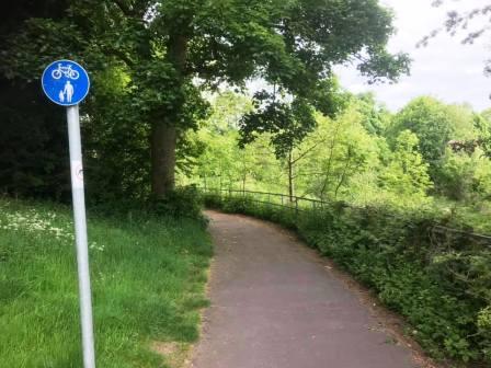
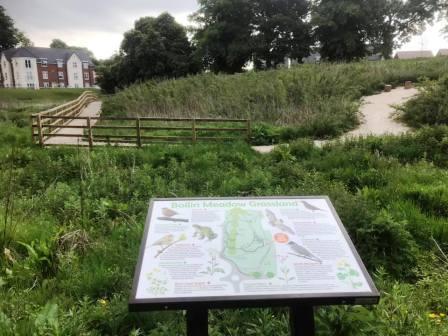
At the top of Brooklands Avenue, head into the footpath/cyclepath to the left of the entrance to All Hallows School. This follows around the back of the school boundary until it rejoins the official route of the Flower Pot Greenway just ahead of the Bollin Meadow Grassland.
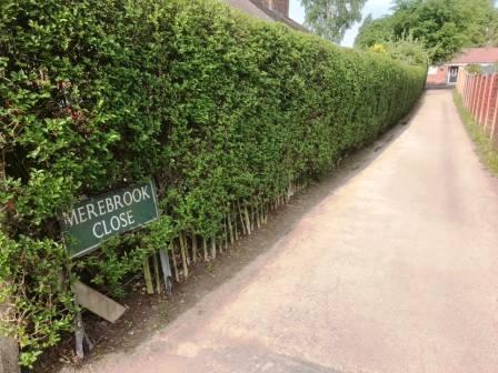
The greenway ends at Chester Road, onto which you turn left to follow up to the junction with Ivy Road. Turn left here, and soon after, right into Merebrook Close (which is easily missed!).
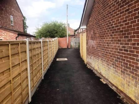
Turn left at the top of Merebrook Close to follow the ginnel through to Merebrook Road, at which point the circular route is complete.
|
|
|