.jpg)

|
|
|
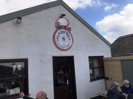
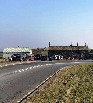
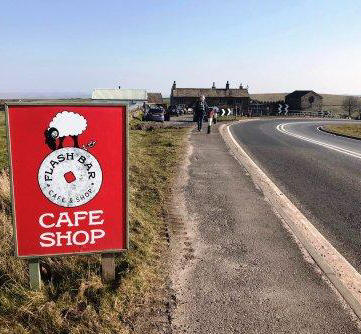
Route description & photos Start from Flash Bar Stores on the A53 Buxton-to-Leek road (SK17 0TF). There is parking for several cars on the track between the main road and the cafe, but it is probably polite to give the cafe some custom if parking there. It's an excellent cafe though, and when I do this walk, I usually find myself enjoying its fayre both before and after my hike!
From Flash Bar, begin by walking north alongside the A53, towards Buxton. There are wide grassy verges here to walk safely.
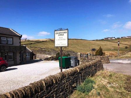
Immediately after Quarnford Lodge, turn left onto a lane.
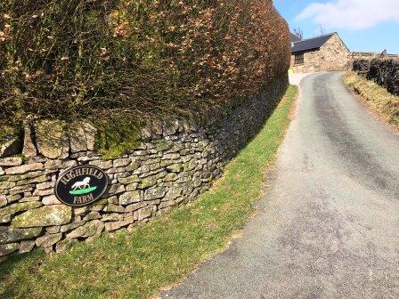
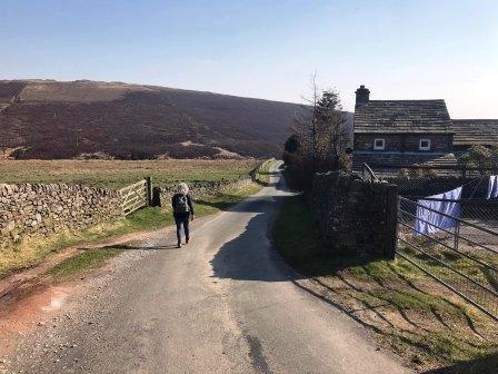
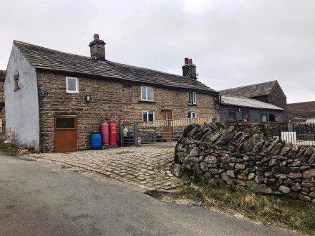
Walk a short distance up the lane before turning right onto the access road for Highfield Farm. Just before the farmyard, bear left onto a public footpath through a field.
The path follows beside a drystone wall before continuing on a gravel farm track.
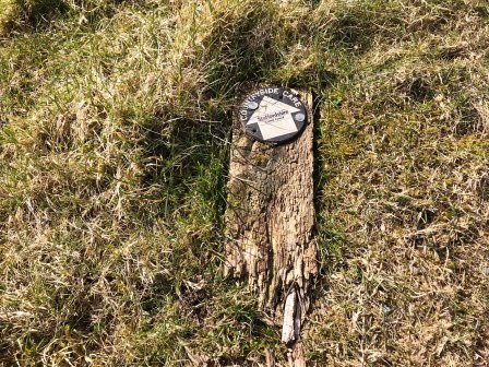
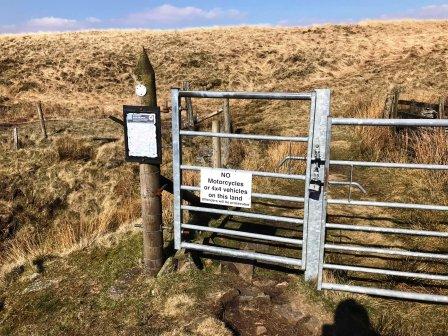
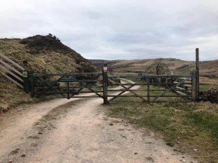
Pass through a gate then continue on the farm track, almost to the farm itself. Drystone Edge can be seen straight ahead.
Just before the farmhouse, look carefully for a faint green path going off to the left. There is a public footpath sign, but it was broken and on the ground when last visited.
A grassy footpath angles down past some farm buildings, becoming a better gravel track after a while.
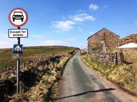
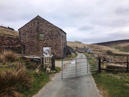
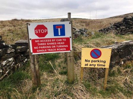
This eventually brings you to a T-junction of roads. Turn right here (signed as no motor vehicles) and head up towards the large barn.
At the top of the road, a public footpath veers off to the left. Ignore this for now - although this does form part of the route later. As the road starts to swing to the right, drop down a trodden path on the left to cut a large corner and rejoin the road lower down.
Cross the road and start to ascent again, up a grassy bank. Head towards the vehicle track that can clearly be seen ahead.
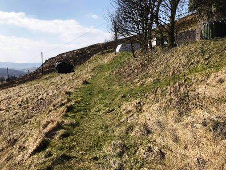
Follow the track up to a turning circle, then look for a grassy path heading to the left and around the hillside. Follow this path as it contours around the slopes.
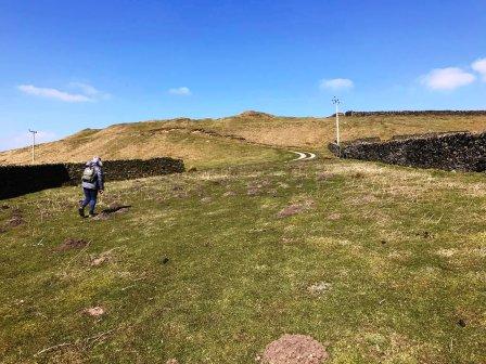
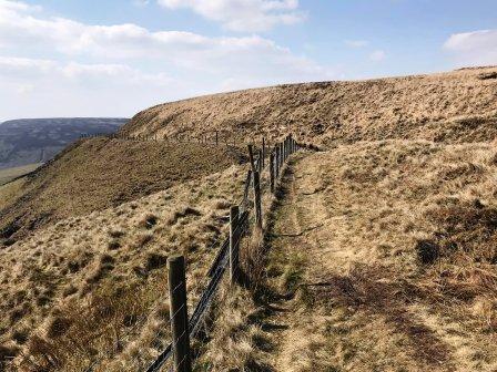
A gate is reach, which we pass through, then turn sharp left to continue following a meandering path that contours around the shoulder of the hill.
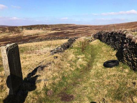
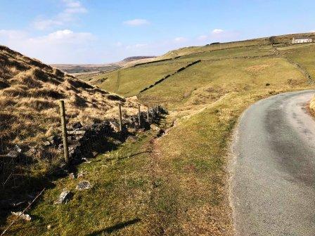
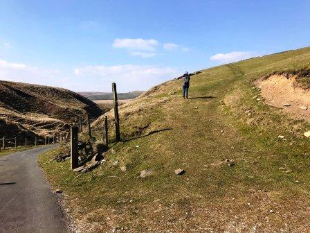
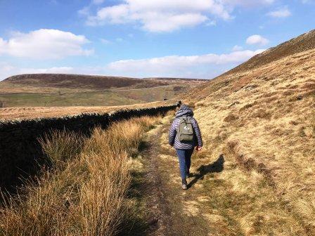
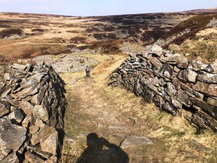
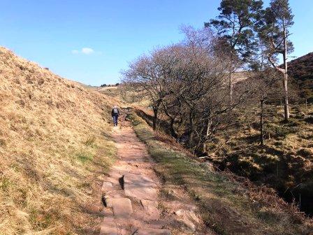
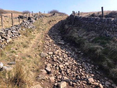
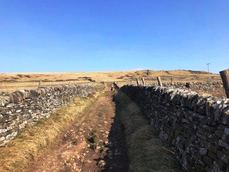
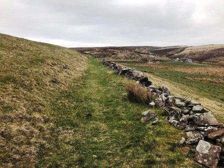
The path morphs into a very historical-feeling packhorse trail with steep slopes on one side and drystone wall on the other.
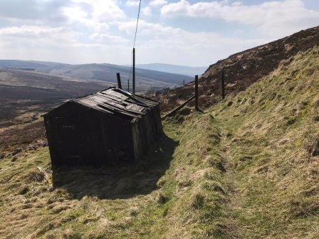
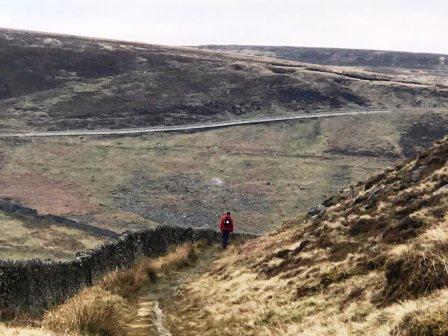
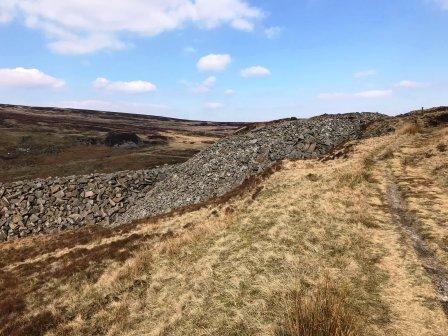
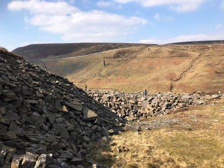
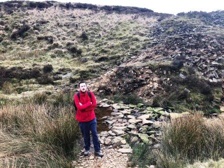
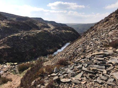
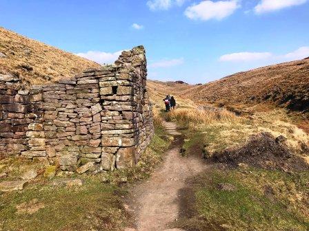
Eventually this brings you to Reeve-Edge Quarry, the first of two disused quarries that are very close to each other.
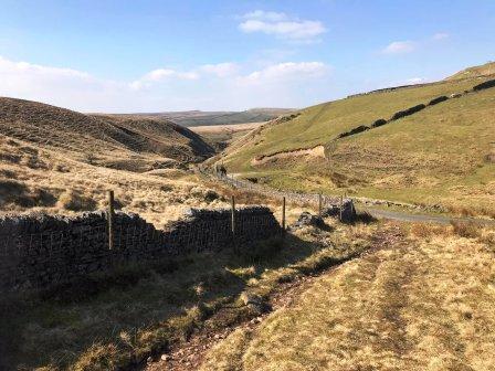
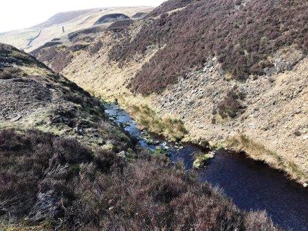
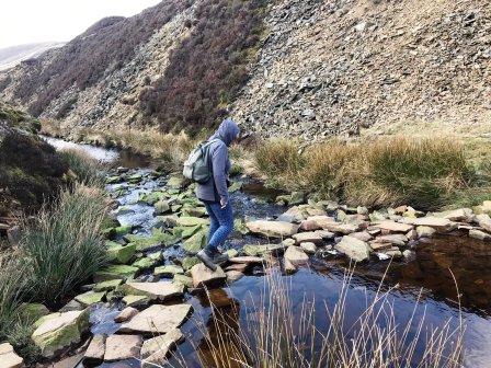
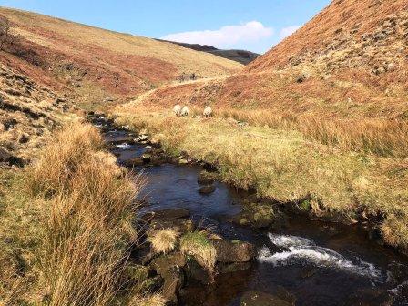
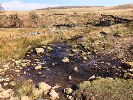
The footpath continues over the high point of the quarry then drops quickly down to the formative waters of the River Dane.
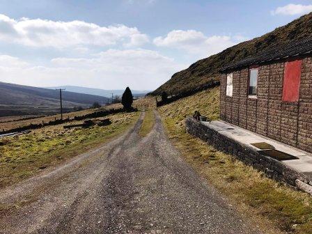
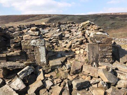
The river is crossed by some stepping stones, then you climb up to Danebower Quarries.
After the initial steep but short ramp from the river, there is a junction of paths.
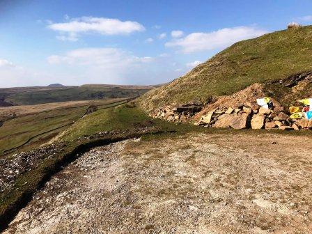
We turn left to climb another steep short path that seems to be clmbing another quarry tip.
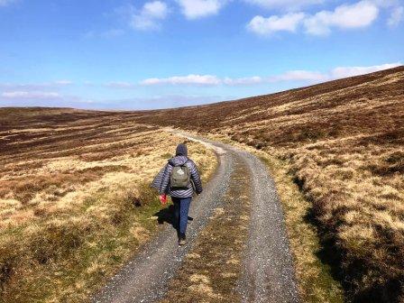
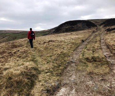
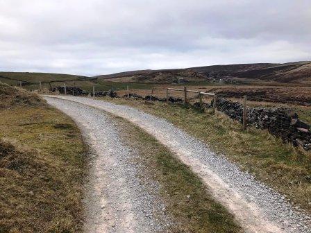
The terrain now flattens out and we meander through the quarry workings and onto the main track which is heading in a westerly direction.
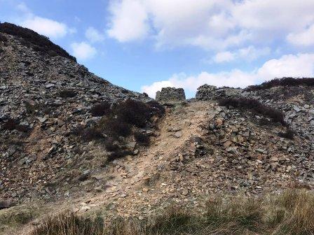
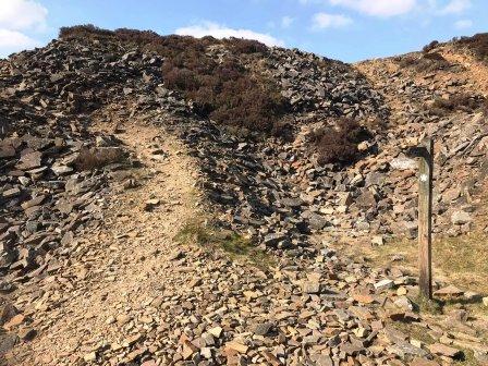
Look out for a very subtle and faint grassy path on the left (pictured below, left). This looks rather unlikely, but is in fact the main path. It does become more defined further down!
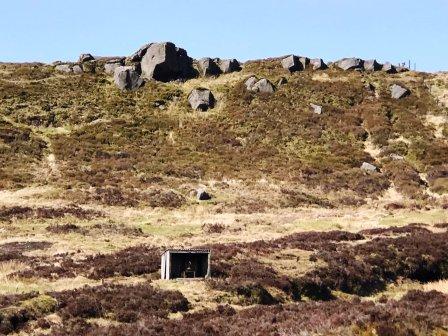
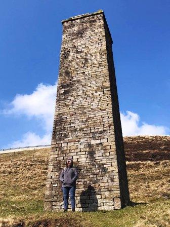
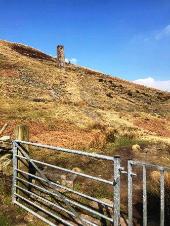
If you miss this turning, it is not a major problem. You would be taken on a high path via an old chimney (above, centre), which may be a desired diversion in any case. the descent from the chimney back to the main route is rather steep though.
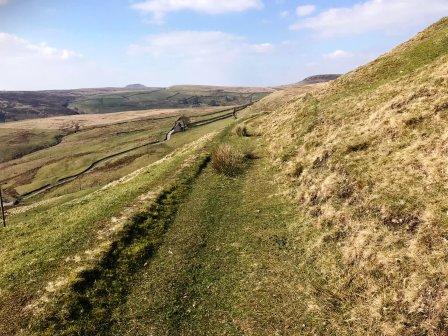
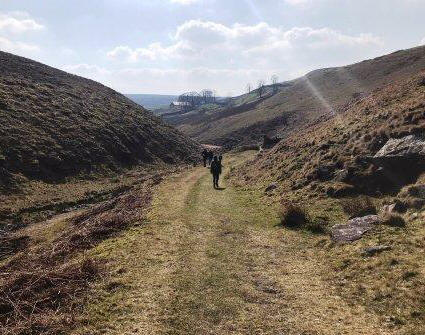
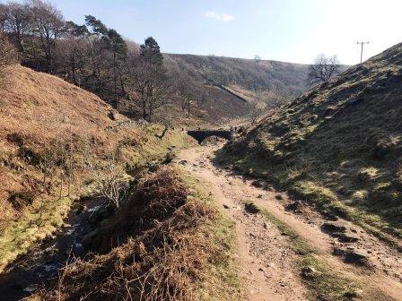
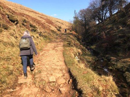
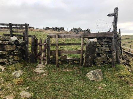
Continue through a gate as the path continues to descent towards the River Dane, and into the increasingly defined Upper Dane Valley.
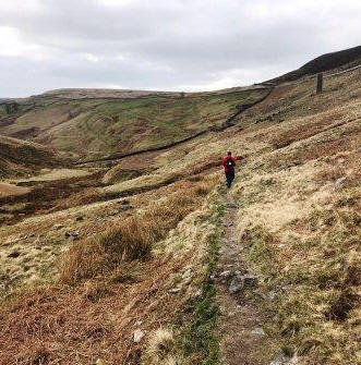
The next section of walking is delightful, passing farmland and disused buildings on the right, and the beautfiul River Dane on the right.
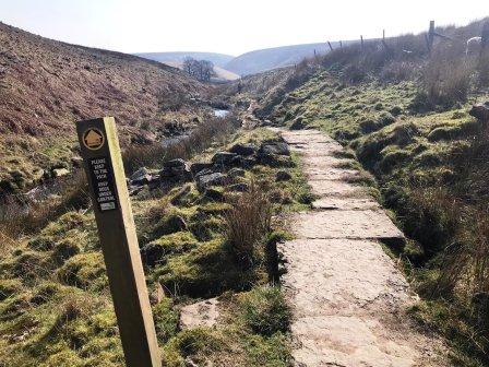
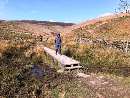
The path here is the Dane Valley Way, and it becomes more substantial with the provision of flagstones, boardwalks and bridges.
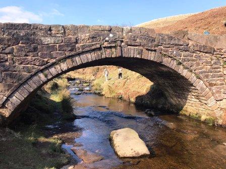
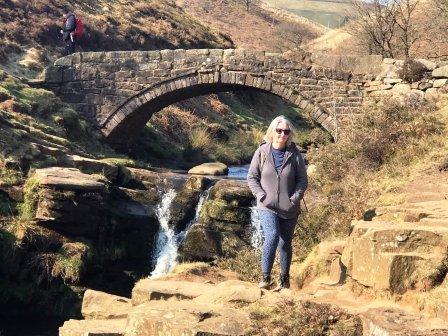
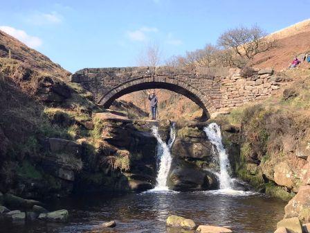
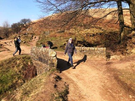
The path leads up to a bridge. Cross the stile then turn left to cross the bridge.
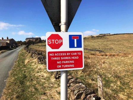
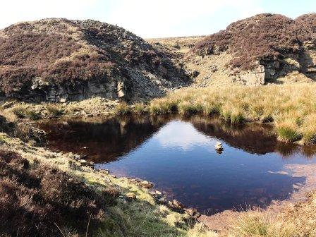
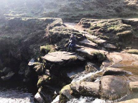
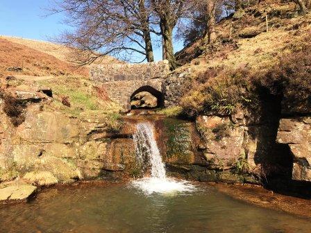
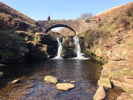
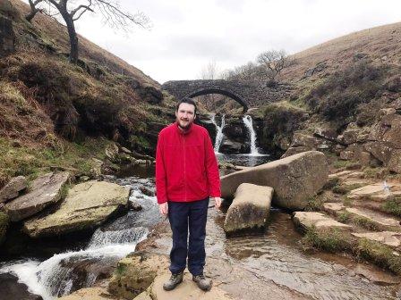
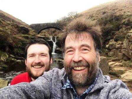
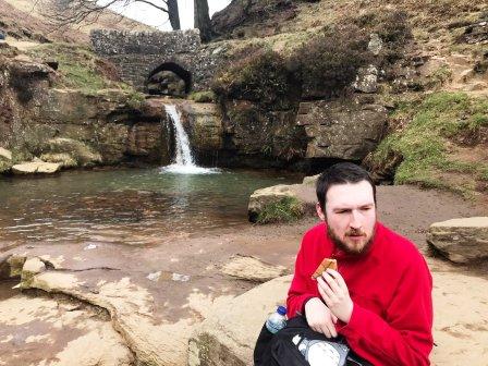
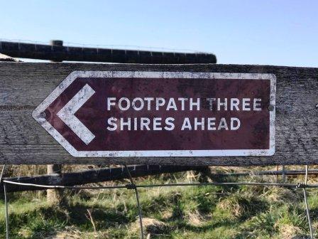
The famous Three Shires Head - the meeting point of Cheshire, Staffordshire and Derbyshire - is now imminent.
This is a well-known beauty spot, popular for picnics and open-water swimming. You can't get a car any nearer to it than half-a-mile away, and practically, rather more than that. Yet it is often busy and seldom quiet. It is extraordinarily beautiful though, with its juxtaposition of the industrial age set against the raw beauty of the Peak District.
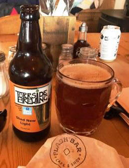
It is a wise move to stock up the rucksack with nice provisions and drinks from Flash Bar Stores at the start of the walk, as Three Shires Head is a great place to rest for a few minutes and enjoy some refreshements.
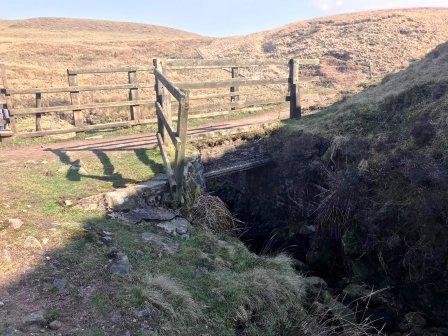
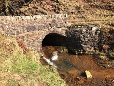
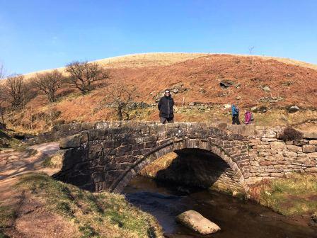
When ready to complete the walk, locate the position between the two stone bridges, and walk up the substantial footpath that leads away in an easterly direction.
At the top of this section, turn right to cross another stone bridge, then through a gate onto a walled track. ,
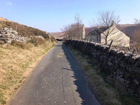
Follow this walled track as it veers left on a right-angled bend, and up to the farm road at the top.
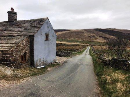
Turn right onto the farm road and walk down, passing a farmhouse on your right.
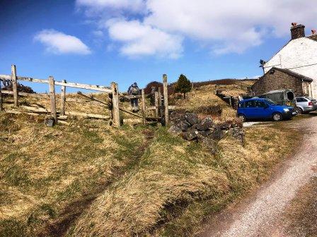
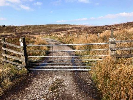
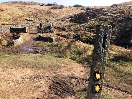
As the road swings sharp right to drop down a bit of a hill, stop! There is a large track going off to the left through a wooden gate - and this is the route we wish to take.
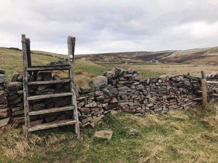
Follow this track as it swings around the hillside. Look for a stile over a drystone wall on your right to take us onto the next path on our route.
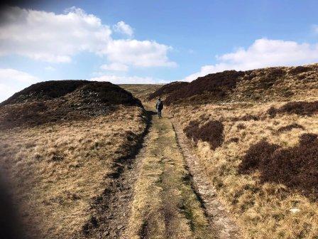
A grassy path follows between a gentle slope and a very low stone wall. Eventually this emerges onto a lane that we walked along earlier - but in the opposite direction.
Follow the road down past the large barn, and continue straight on, ignoring the left turn (from where we'd walked earlier).
At the bottom of this hill, turn left and follow the road as it begins to climb again at Knotbury.
You will pass Oxensitch Farm on your right, and soon re-emerge onto the main A53 Buxton-to-Leek road.
Turn right to complete the route back to Flash Bar.
|
|
|