.jpg)

|
|
|
Route description & photos Start anywhere on Merebrook Road (SK11 8RH). Limited on-street parking available. Head initially west, then turn left at the end of the road into Springfield Road. This quickly becomes Cherryfields Road which you follow as it becomes Heyes Farm Road, then turn right into Princes Way.
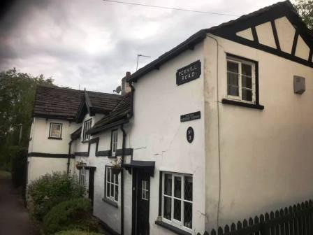
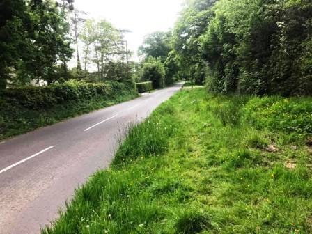
At the end of Princes Way, cross straight over the road into Pexhill Road. Continue to walk along Pexhill Road into the countryside. After a while, the pavement stops, but from here there is a faint path running through a wide grass verge for a considerable distance, so you don't need to take your chance with fast vehicles and blind bends!
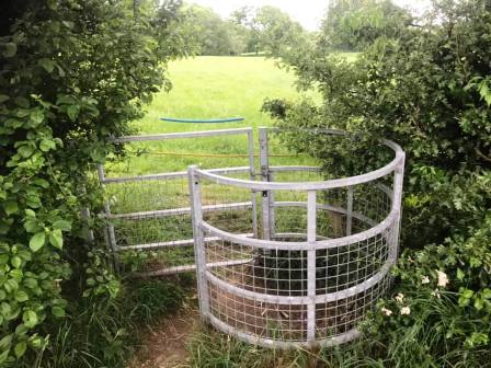
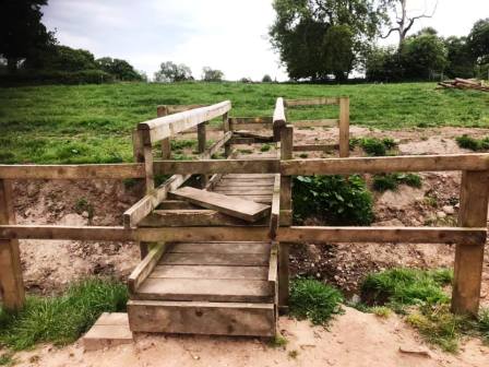
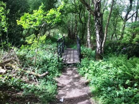
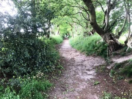
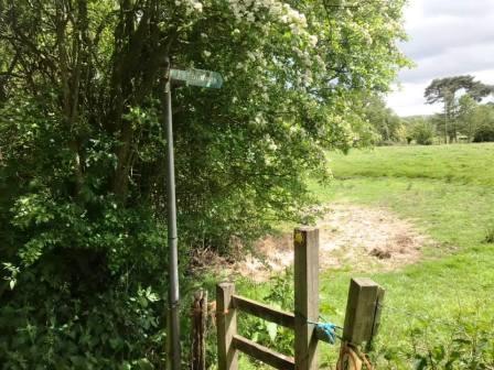
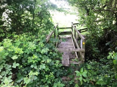
Look out for a kissing gate on your left. Pass through this, and stride over the electric fence - which is insulated at this point where the PROW crosses! Head towards the wooden footbridge with stiles which is now visible ahead. After crossing the bridge, bear left to continue walking on the PROW through New Farm.
After passing a pond on your right, continue to follow the path on the right hand side of the field. Avoid the temptation to follow the path dropping to the left as any lost height will have to be soon regained. The line of the PROW heads towards another kissing gate in the right-hand corner of the field ahead, but the trodden path on the ground begins to veer left. At this point, trust the path on the ground. This heads through an open gateway into the next field on solid ground, whereas the area just beyond the kissing gate is so boggy as to be usually waterlogged!
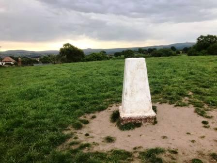
The path on the ground starts to veer right to contour around the side of the small hill, but continue straight up to the summit to take in the only trig point on the route. This is TP5093, nicknamed mischievously as "Great Weston Fell"! Head down to the kissing gate to exit onto Gawsworth Road.
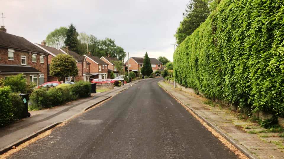
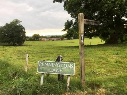
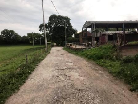
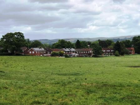
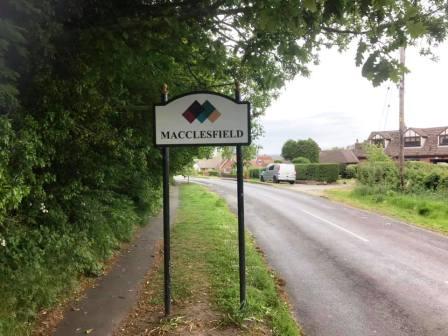
Continue directly over the road into Penningtons Lane, which is a rough farm track at this end, and not recommended for driving! Follow the lane past the farm buildings on the right, then Little Bailey Riddings Farm on the left, and around several sharp bends until it returns you into a residential area on the south of Macclesfield.
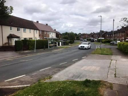
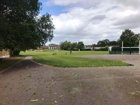
Turn right into Hillcrest Road, following it to the hairpin bend back into Surrey Road. Turn right into Moss View Road leading to Congleton Road A537. Cross over the main Macclesfield-to-Congleton road and enter the playing fields at Danes Moss.
Go past the changing room and shower block and continue along the left edge of the field to a gap in the bottom corner. Pass through this into a wide expanse of common land. Take either the path to the left or to the right; they rejoin each other at the eastern end of the area as you enter the woods.
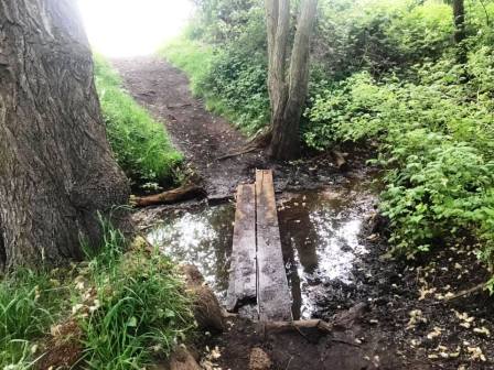
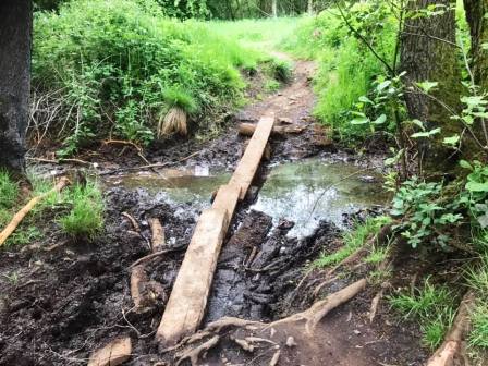
A couple of rudimentary plank crossings enable you to get past some watery/boggy patches without wet or dirty feet, so long as you have a reasonably steady balance! Turn left onto a more substantial and very straight path. Almost immediately, turn right onto a clear path through the woods.
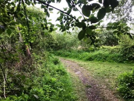
This path can be quite faint and indistinct in places, but generally, it is straight-forward enough to follow. I'm pretty sure it isn't a public right of way as such, but I'm also pretty sure that usage is customary, and possible on common land. A proper public footpath is met at a kind of T-junction marked by a white post in the ledge on the left. Here turn sharp right.
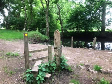
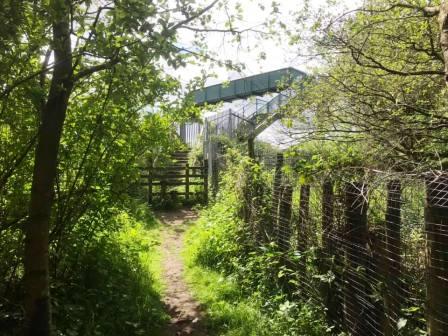
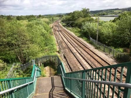
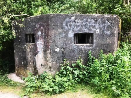
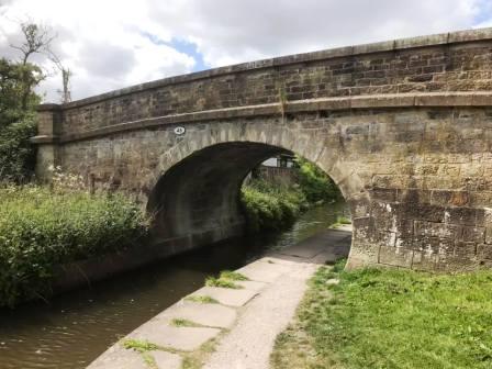
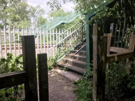
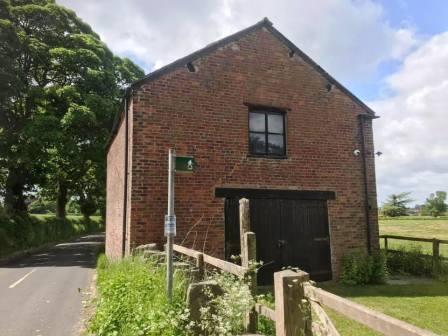
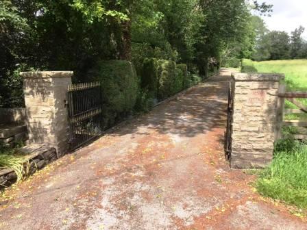
Follow to the first of a couple of substantial footbridges over the railway line. This goes over to Gaw End Lane, where there is an old World War Two pillbox. Turn right onto the Macclesfield the canal, passing under the bridge.
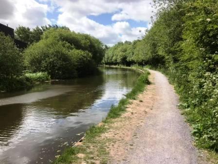
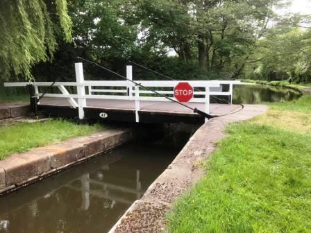
Walk a short distance along the canal to just past the swing bridge.
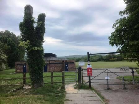
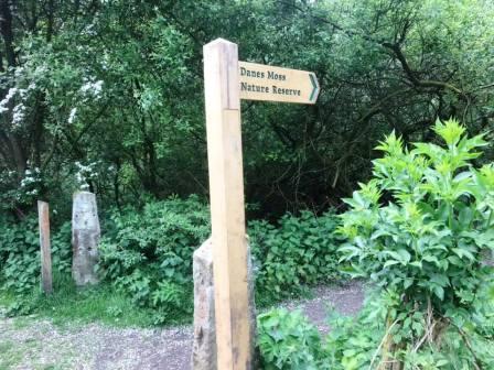
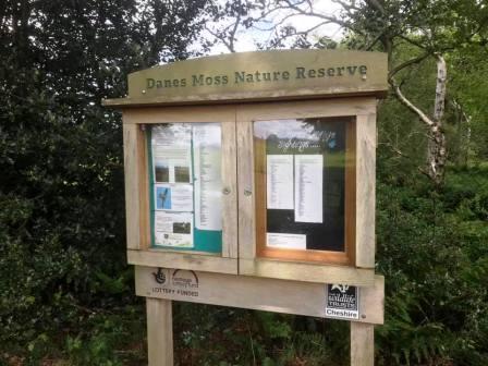
Turn right at the signpost to enter the nature reserve on Danes Moss.
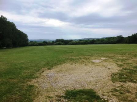
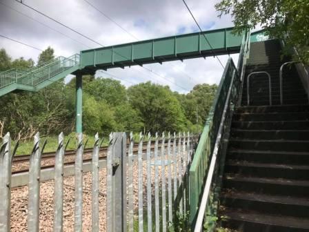
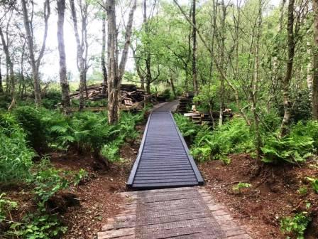
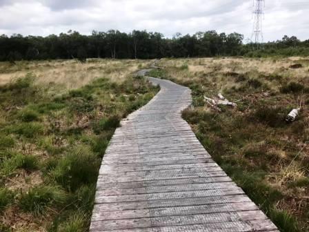
Another railway footbridge is crossed, and then you're into a very picturesque and tranquil nature reserve.
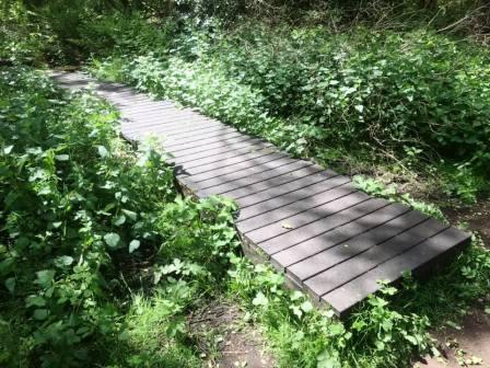
The main footpath continues directly ahead, but I would definitely recommend turning left on the boardwalks to fully enjoy this brief section in the nature reserves.
This boardwalk section winds around the nature reserve parallel and close to the railway line for a while, before turning right to head across a more open are back to the main path.
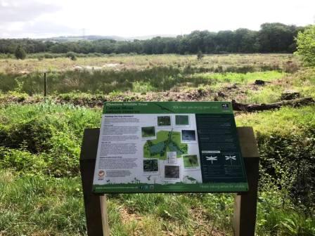
The nature reserve is exited by an interesting information board, then heads out towards the farms near Gawsworth.
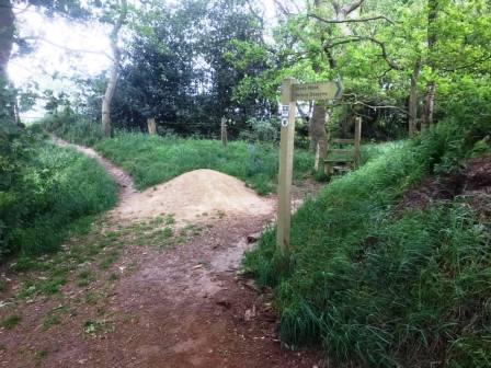
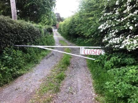
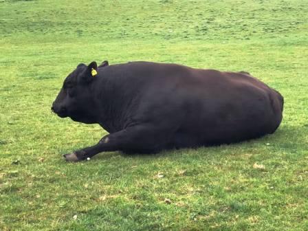
The main intended route here passes through New Home Farm, but if edgy cattle are blocking the route, an alternative is to use the path to Woodhouse Lane, and another back via Moss Houses to the original route.
The photos below show the alternative paths, if required, from Woodhouse Lane.
Where the footpath passes over the access road to New Home Farm, the continuation is not clearly signed but it is the access drive to Moss Cottage between the two pillars.
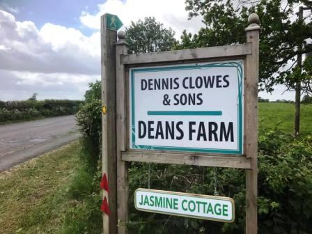
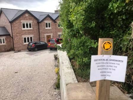
The path veers off to the right to continue through to Danes Moss Farm, before emerging at the A536 Congleton Road. Here, cross straight over and follow the track (PROW) down to Deans Farm.
The public footpath has been diverted down the driveway of a new build at Deans Farm.
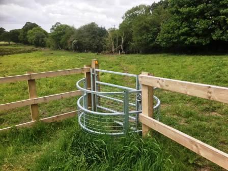
After passing through the kissing gate, head over to the hawthorn tree to find a small bridge crossing into Brownhills Farm.
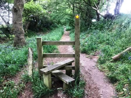
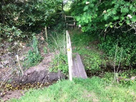
Before reaching the buildings of Brownhills Farm, the route veers to the left over a double-stile footbridge (below) into Dalehouse Farm.
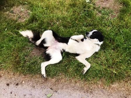
When emerging onto the access road for Dalehouse Farm, you are often greeted by a very friendly dog who wants to play! Exit the farm access road to turn right onto Gawsowrth Road for an unavoidable bit of road walking back up to the Weston.
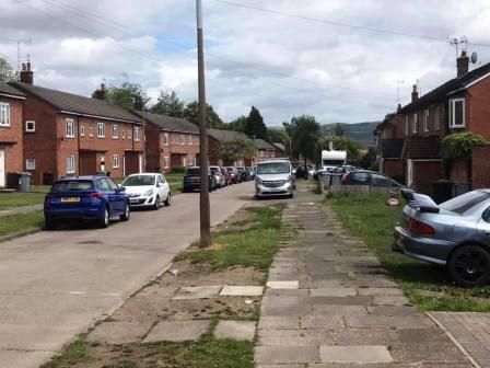
Turn right into Earlsway, but then take the second right into Kendal Road in order to avoid some further road walking!
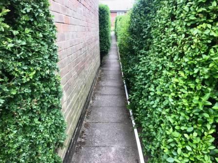
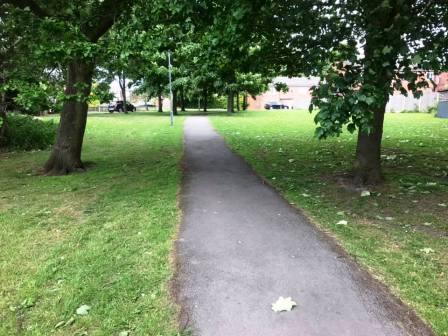
Almost immediately, turn left to follow a ginnel through to the recreational ground on the Weston. This can be followed for its entire length in order to only re-emerge onto Earlsway down beyond the old Weston pub.
Continue down Earlsway, then turn left for the footpath back across to Merebrook Road. The route is complete.
|
|
|