.jpg)

|
|
|
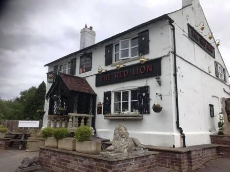
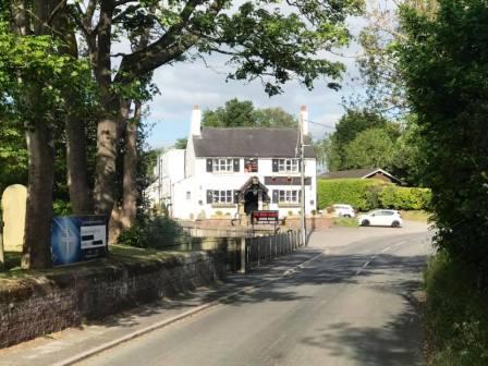
Route description & photos Start near The Red Lion pub, Goostrey (CW4 8QZ). Parking may be available at the pub or nearby on the roadside. If the station car park is used, then you need to pay.
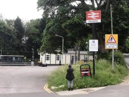
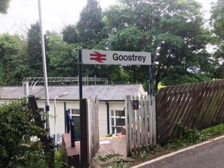
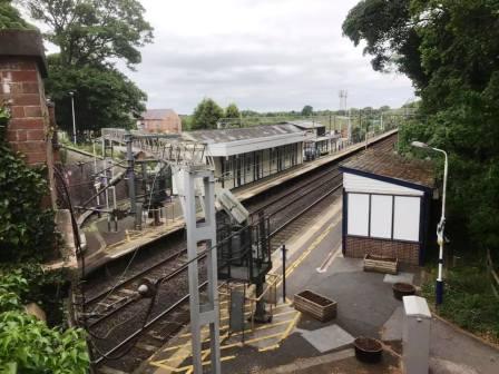
Walk along the road south-easterly to Goostrey railway station and over the bridge.
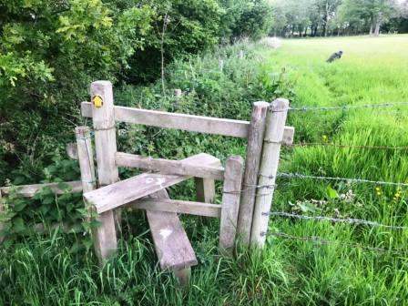
After passing over the bridge, look for a farm entrance on the left. Just inside this - but not visible from the road - is the start of a public footpath heading right into the field.
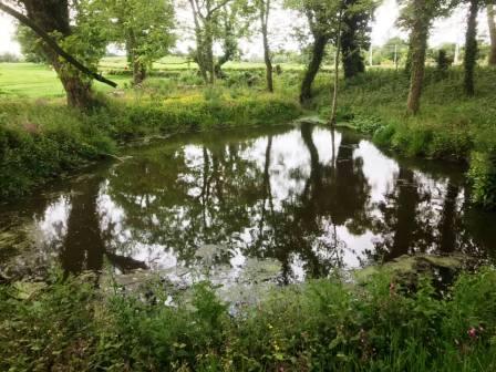
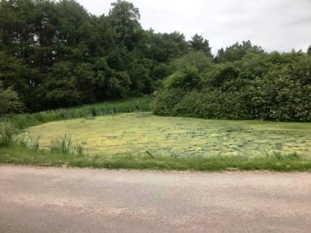
The path is initially only faintly defined, but follows past a pond and then along the edge of the farm fields.
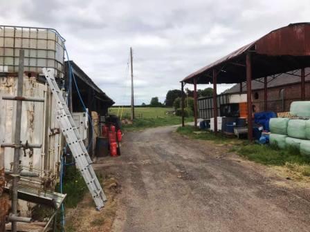
After passing right across Blackden Manor Farm, turn right into the road, and then left for the public footpath across Blackyard Farm and towards The Acres Farm.
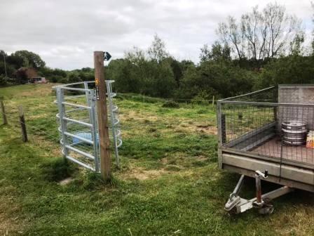
Turn left out of the farm to follow a short section of road, then turn right to follow the long driveway (public byway) up to Kermincham Hall.
The track bends around to the left as you pass between the hall and a millpond, and then around to the right past more farm buildings at Deerpark Farm.
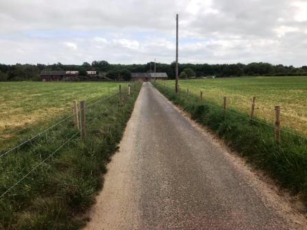
From Deerpark Farm, there is a long straight track down to Brook Farm.
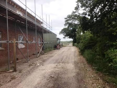
Here, turn left to pass through an ugly farmyard before switching back very sharp right to pick up the Dane Valley Way around the back of the farm buildings.
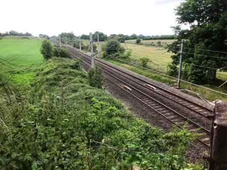
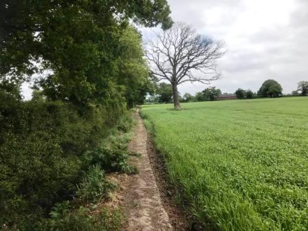
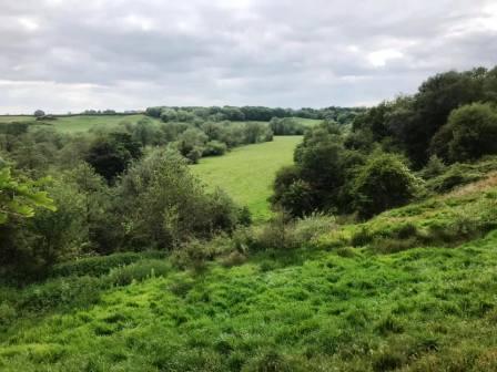
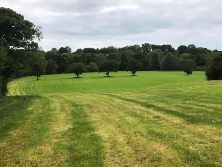
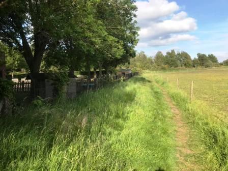
The Dane Valley Way now follows the shoulder of the bank of the River Dane and is a lot more pleasant.
The views open up over the Dane Valley to the left and the DVW continues to be followed
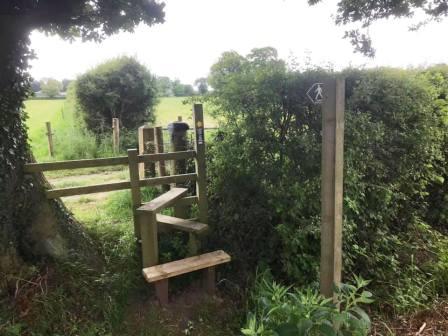
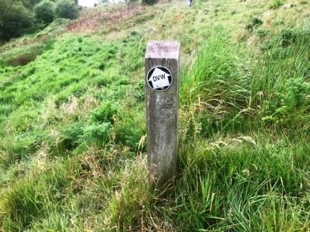
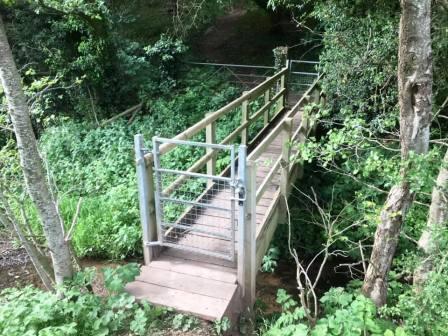
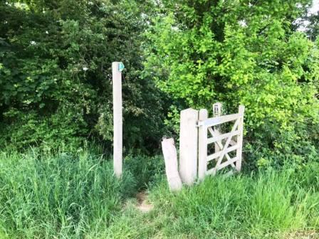
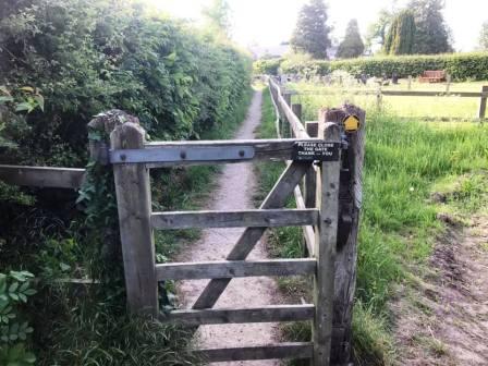
After crossing a footbridge and emerging from a small wood, take care to angle to the right. It is easy to continue towards open green space downhill, but this will take you off course. The main thing to remember is to keep right to maintain roughly the same altitude at this point.
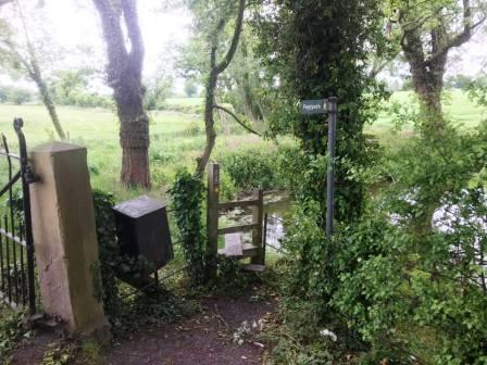
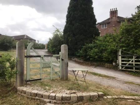
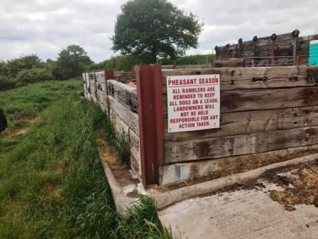
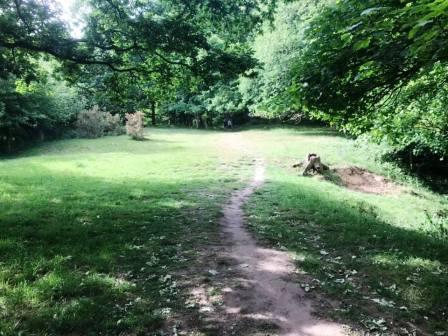
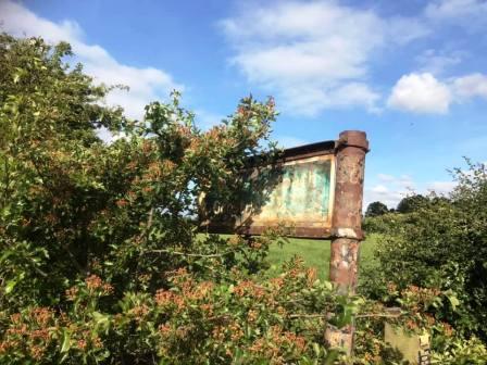
If you have got your bearings right here, you will reach a footpath sign and gate (pictured below), which you pass though into another wood.
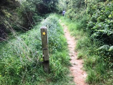
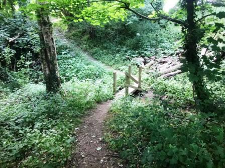
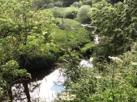
Continue on the path through the wood, and look out for a rare glimpse of the River Dane. These are surprisingly infrequenct along this section of the Dane Valley Way!
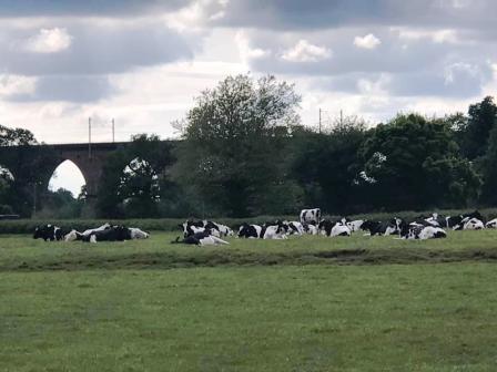
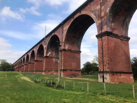
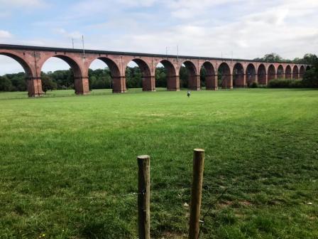
Soon the Twemlow Viaduct comes into view. As you exit the farm, turn left onto the main A535 Holmes Chapel road. This is a busy road, but there is a verge and then a pavement on the left for most of this section. Look out for a public footpath on the right to take you down to the Twemlow Viaduct.
Walk under the viaduct then start to angle right to head gradually uphill. This is now the final section of the walk back to Goostrey village.
The path emerges from the farm and you turn right onto the road, following around a couple of bends. Turn left onto the public footpath signed "Goostrey, 3/4 mile".
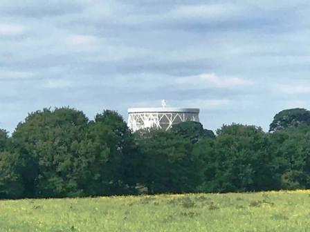
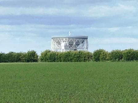
The famous Lovell radio telescope at Jodrell Bank now comes into view, and if in doubt about directions at this stage - follow the telescope!
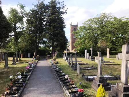
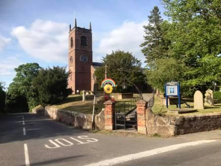
As the telescope gets bigger on the horizon, the tower of St Luke's Church in Goostrey starts to appear in the distance.
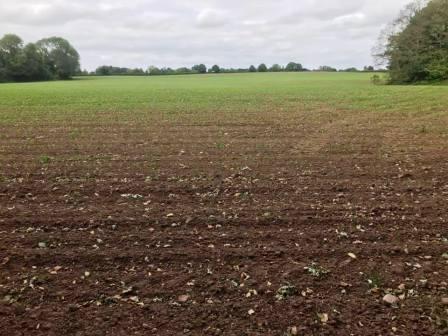
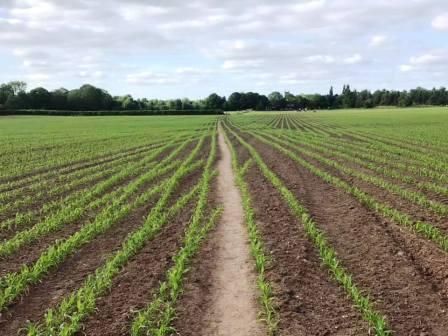
The public footpath turns to follow in a very straight course across a corn field, leading to the back of Goostrey Primary School.
Turn right to follow the path around the back of Goostrey Primary School and then beside the churchyard for St Lukes. Follow the path right around, or walk through the centre of the churchyard to Goostrey village.
At the road, turn right to return to your starting point and complete the walk.
|
|
|