.jpg)

|
|
|
Route description & photos Back in the 1980s and 1990s, the local Rotary Club organised a mass charity sponsored walk every September. Known as "Beat The Bounds", the route closely followed the Macclesfield town parish boundary, and was approximately 19 miles in length. Sadly, the event no longer takes place, but for nostalgic reasons, I decided to attempt to undertake such a walk!
When devising a route, I found improvements could be made to the original "classic" route that followed even closer to the parish boundary line in places, and on better and more pleasant public footpaths. Of course checkpoint locations would have been a consideration back then, and access situations may have been different.
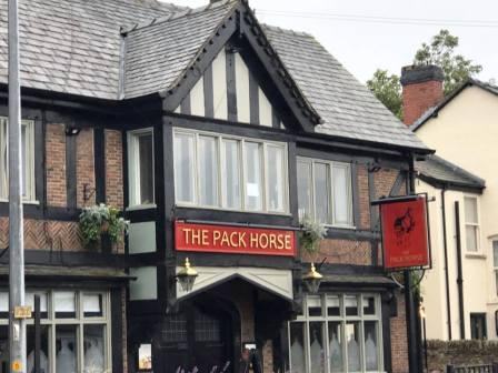
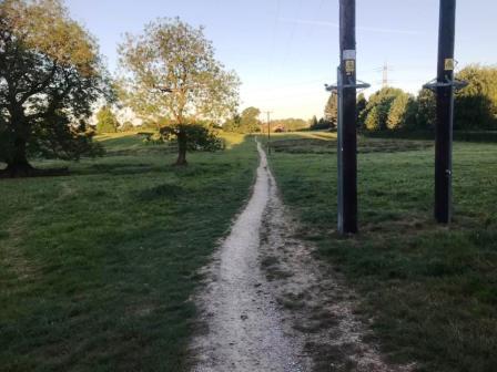
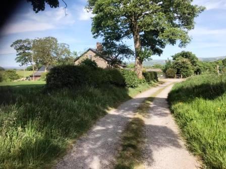
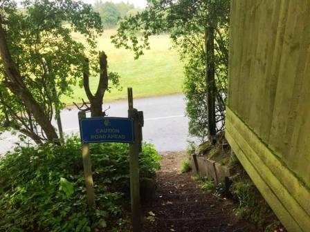
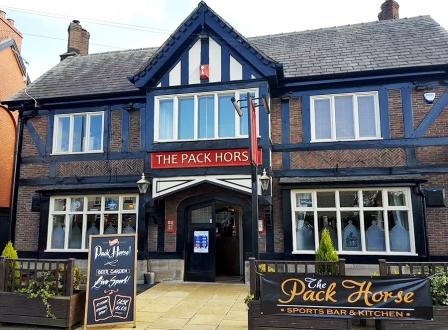
Start from Pack Horse pub, Broken Cross (SK10 3LG). Walk west along Chelford Road A537 as far as The Cock at Henbury. Opposite the pub, walk into the common land at Whirley, and progress across the fields in a northerly direction to pick up the public footpath, onto which you turn left.
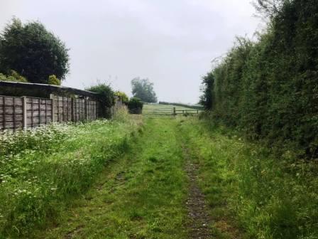
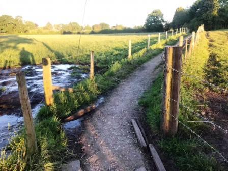
Continue onto the path between two barbed wire fences. Turn right at the end and follow the path around a few corners onto a track.
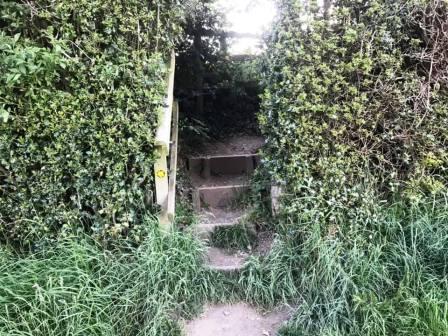
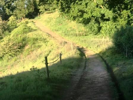
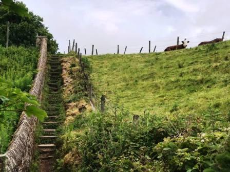
Continue on the track, looking out for a few steps on the right, leading to a narrow path up to Longmoss Top.
At the end of the path, turn left into Whirley Road, and follow down to Whirley Hall. Turn left to follow the short distance to Whirley Hall, then turn right into Wrigley Lane.
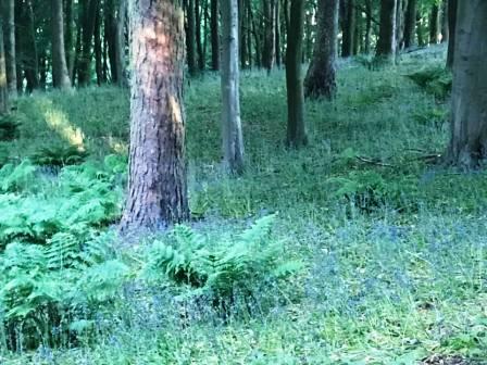
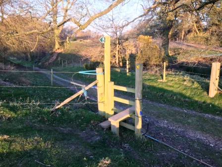
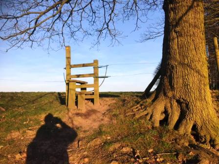
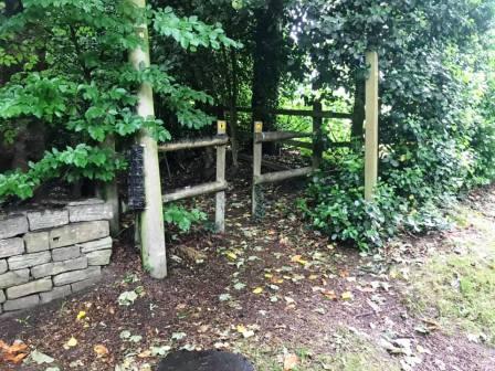
A short distance up this road, look out for a stile into a field on the left. At this point, cross the stile, and walk across the public footpath across the back of Whirley Hall estate towards a bluebell wood.
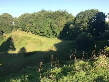
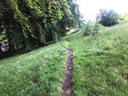
Continue on the lovely path through the wood. emerging out onto lofty field with south-facing views at Highlees.
At the end of this field, bear left onto a well-defined track, following this a short distance to a stile, above you to the right.
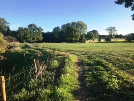
Cross the stile and follow the path around the right-hand boundary of the field at Highlees.
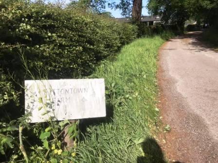
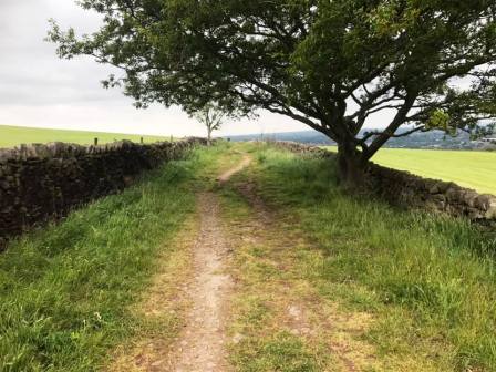
Cross the stile and follow the path around the right-hand boundary of the field. At the bottom, cross another stile and turn right onto a farm track. This leads out onto a country lane (Birtles Road), onto which you turn right. Walk a short distance along the lane then turn right into Cross Lane. Walk along this narrow road to a crossroads, continuing straight ahead onto the track to Fittontown Farm.
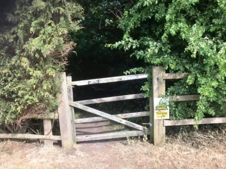
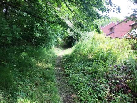
At Fittontown Farm, the track ends, but a very pleasant bridleway continues straight ahead through a gate.
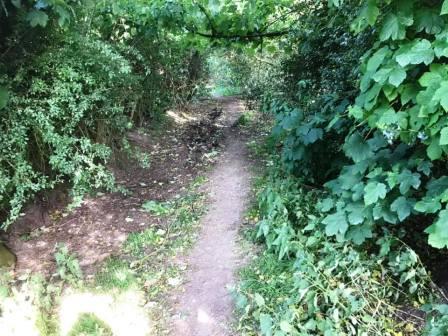
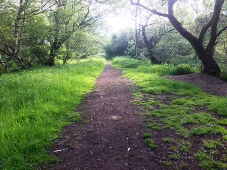
This is a winding path through another bluebell wood, snaking gently downhill emerging onto the Macclesfield-Alderley road.
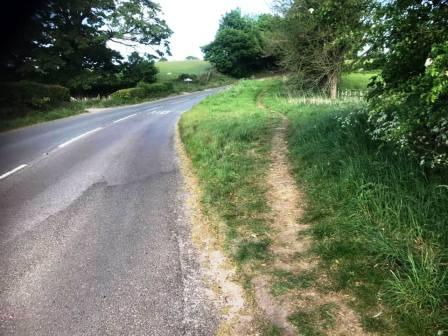
Turn right onto the road, and take care with passing traffic on blind bends. After a short distance, a path materialises on the right, giving more comfortable walking through a grass verge. This then becomes even more pleasant, passing on the other side of some trees to the roadside.
Shortly after some farm buildings and houses on the left, look out for a gate in a small gap and footpath sign, leading into the new King's School campus. Don't follow the main footpath heading between the school building and the sports centre, but head towards the playing fields to pick up another path, initially up a gravel path.
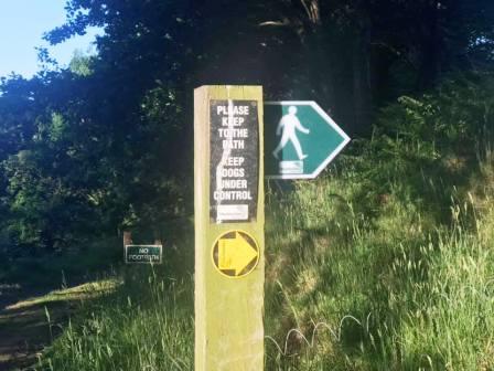
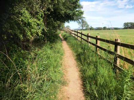
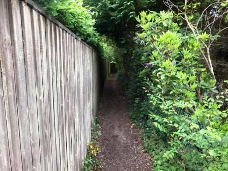
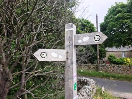
The path turns left and then right to follow the boundary of the playing field area, then exits onto a driveway. Cross the driveway to enter a narrow path between a wooden fence and a hedge.This path emerges onto the access road for Prestbury Golf Club. Turn right onto this access drive, and then shortly left onto another public footpath, marked with a wooden signpost.
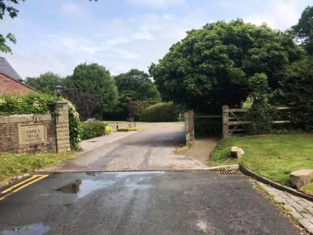
Walk to the end of this path, bring you out onto the road as it heads into Prestbury village. Continue along this road on the pavement and pass the village hall on your right. Turn right to walk along Shirleys Drive to Abbey Mill at the end of the cul-de-sac. Enter the public footpath to the right of the entrance to Abbey Mill.
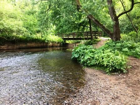
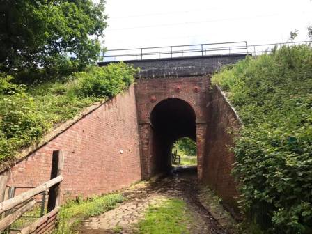
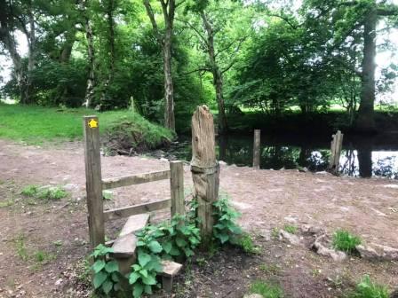
Follow the footpath to the River Bollin and cross the footbridge. Turn left the follow the Bollin Valley Way back towards Prestbury village. As the path reaches Bollin Grove at its end, turn sharp right to walk under the railway tunnel.
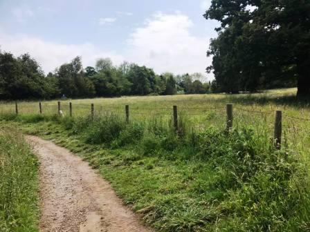
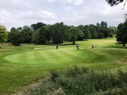
The path now climbs gently up towards Tytherington. You'll need to bear right, and then turn right at a path junction in order to walk into the golf course at Tytherington Links.
The public right of way across the golf course is followed using a series of wooden marker posts, but generally you are heading up towards the clubhouse which is visible throughout. The path passes to the right of the clubhouse and car parks and continues on a rough path behind a row of houses.
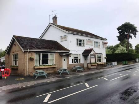
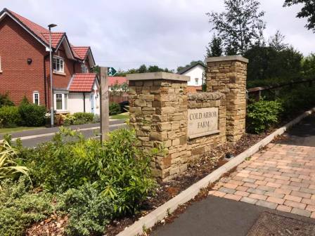
Take care crossing the busy main road, as the footpath ends on a blind bend with very poor views in both directions. It may be prudent to move a distance to either side in order to find a safer place to cross. Turn right, and then quickly left into Tytherington Lane. Walk down this road until you can turn right into Springwood Way. Walk past the Springwood Park pub and continue to follow the winding road. Look out for a public footpath sign pointing into the driveway for Cold Arbour Farm. Follow this path.
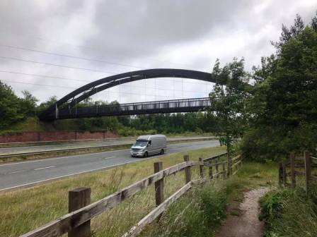
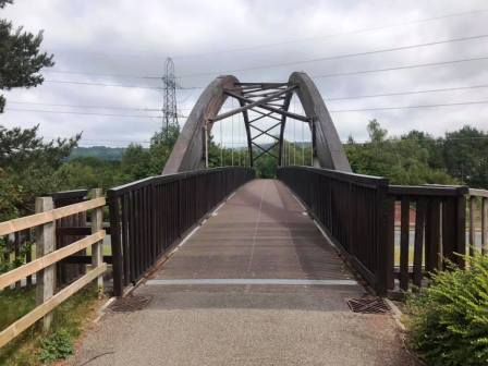
The footpath weaves its way around, rejoining and crossing the residential road a couple of times. Eventually it follows alongside the main A523 "Silk Road", and then cross a rather impressive footbridge.
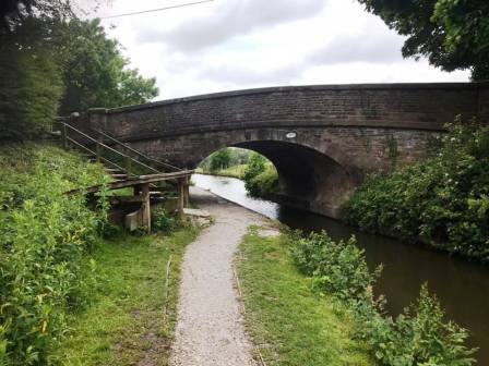
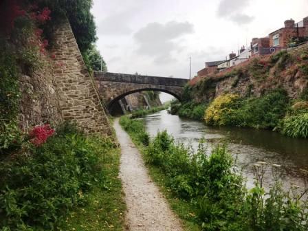
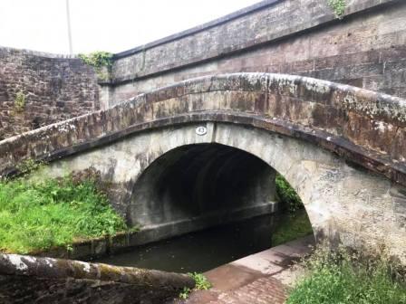
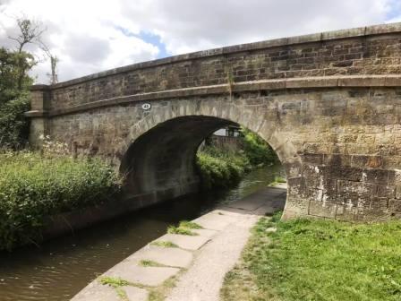
Shortly after the footbridge, there is a right turn onto a path that leads down to the Macclesfield Canal. Turn right onto the canal towpath.
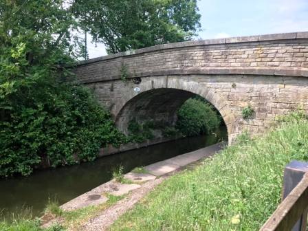
Walk along the canal towapths to bridge number 33 (Higher Fence Road). Exit the canal here and turn left.
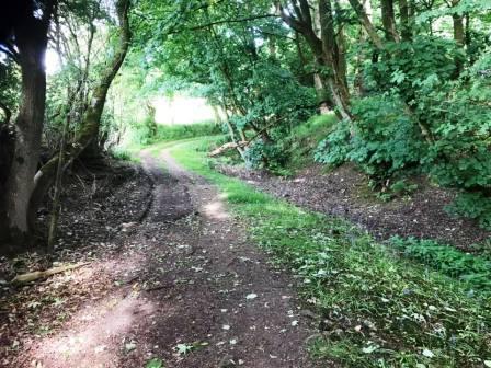
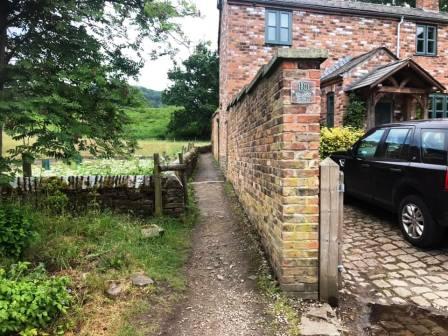
Follow the rough road past the farm and turn left onto another track. At the buildings, a public footpath passes to the left.
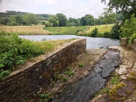
Follow this path past a couple of small reservoirs and up some steps to emerge onto the end of Ecton Avenue. Turn right to follow this residential road down to the main A537 Macclesfield to Buxton road.
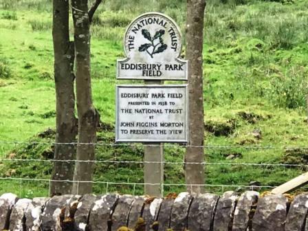
Turn sharp left and walk along the pavement around a few bends, passing Eddisbury Park Field on the opposite side of the road. Turn sharp right into Back Eddisbury Road.
Climb to the highest point of Back Eddisbury Road, the turn left to follow a byway track - a walled packhorse trail, up towards Windyways Farm.
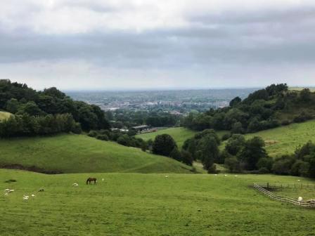
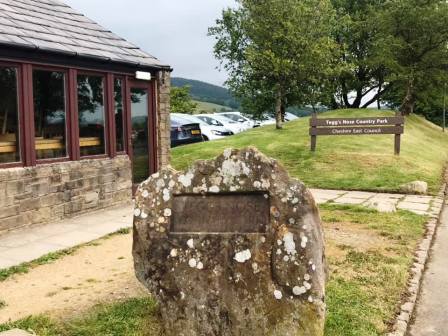
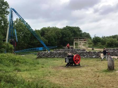
The track emerges onto Buxton Old Road. Turn right to walk the short distance down to Tegg's Nose Country Park and cafe. From the country park entrance, take the main path away from the cafe and into the main country park area.
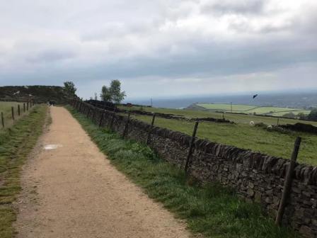
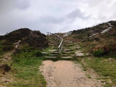
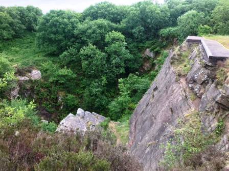
Following the main path through the country park brings you past some exhibits of old quarry machinery. The summit of Tegg's Nose can be accessed by taking a short path to the right.
Take care when passing some of the quarry edges. Some of these are deisgned for rock climbing and abseiling activites, and are unfenced.
From the summit, drop back down to the main path and continue on the path down to Tegg's Nose Farm then Broadcar Lane.
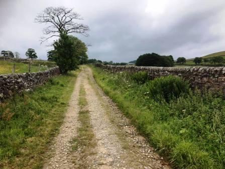
Turn right onto Broadcar Lane, then left onto Buxton Old Road. Take care here as most of this section doesn't have a pavement. Turn left onto a stony walled track. Follow this to a sharp right-angle bend. Turn right and follow the track all the way down to the end of Longden Lane. Turn right into Longden Lane, then left down Stoneyfold Lane. Turn left again into Blakelow Road and follow this around a series of sharp bends as it winds its way downhill towards Macclesfield.
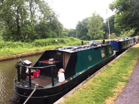
Rejoin the Macclesfield Canal at the bridge on Windmill Street and turn left to follow the towpath.
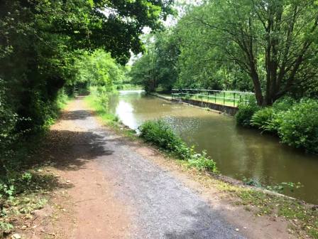
A long section of easy canal towpath walking follows. The canal is crossed at an attractive turnover bridge at one point.
Continue along the canal, passing Sutton village on the opposite bank, then Lyme Green retail park on the immediate right.
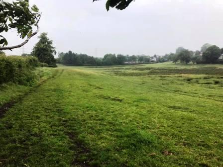
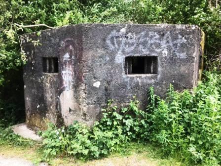
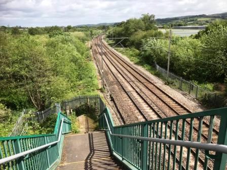
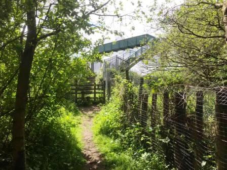
Exit the canal at the bridge at Gaw End Lane. Walk past the World War II pillbox and cross the footbridge over the mainline railway tracks and into Danes Moss.
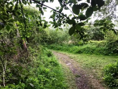
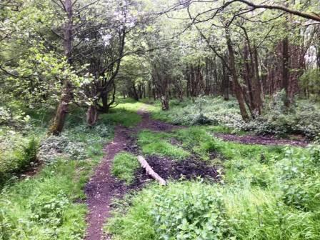
Follow the path until an obvious junction of paths marked by a white post. Prior to this, there appear to be possible diversions to the left; ignore them - wait until you see the white post and a clear path going off to the sharp left.
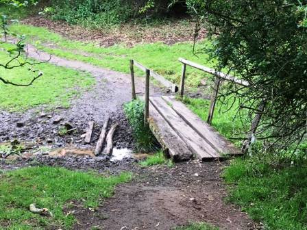
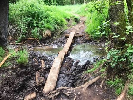
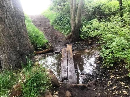
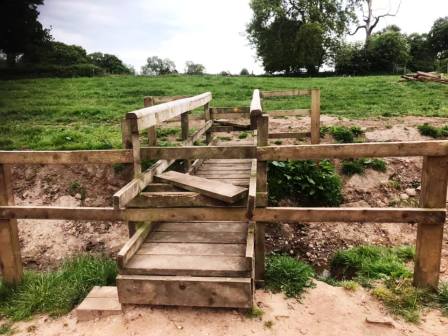
Follow the the trodden path as it weaves its way through the woods. When it meets a more substantial path at a kind of T-junction, turn left, and then almost immediately right over a couple of planks.
Continue forward, and another rudimentary plank crossing is there to help you over a muddy/boggy section, but take care if it is wet!
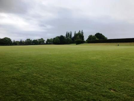
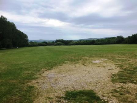
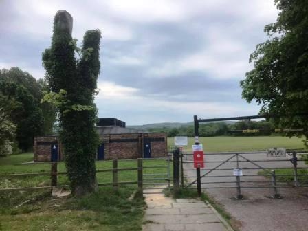
Emerge onto the playing fields area and aim for the changing room and shower block, and then onto the main Congleton Road A537. Cross over the main Macclesfield-to-Congleton road and turn right to walk towards Macclesfield town centre.
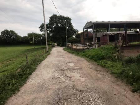
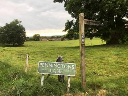
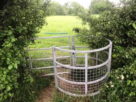
Turn left into Penningtons Lane, which is a tarmac residential road at this end, but later becomes a rough farm track and not recommended for driving! Follow the lane past Little Bailey Riddings Farm on the right then the farm buildings on the left. Turn right into Gawsworth Road but then almost immediately left through a kissing gate into a field.
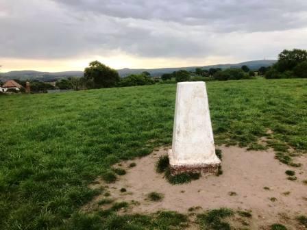
The path on the ground keeps to the left of the field, but veer right to climb up to the summit of the small hill to take in the only trig point on the route. This is TP5093, nicknamed mischievously as "Great Weston Fell"! Head down to a gap in the trees at the botto, of the field. Avoid the kissing gate in the corner as this area is usually badly waterlogged.
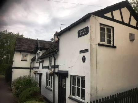
After passing a pond on your left, continue to follow the path. Head towards the wooden footbridge with stiles which is now visible ahead. After crossing the bridge, continue ahead to the kissing gate out onto Pexhill Road.
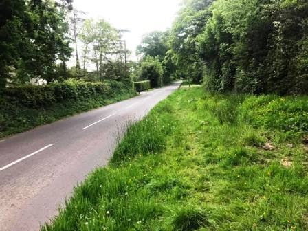
Turn right to walk along Pexhill Road towards Broken Cross. Much of this section does not have a pavement, but there is a faint path running through a wide grass verge for a considerable distance, so you don't need to take your chance with fast vehicles and blind bends!
As you approach Broken Cross, look out for the beer garden behind the Pack Horse pub on your left. Turn in here, and the route is complete.
|
|
|