.jpg)

|
|
|
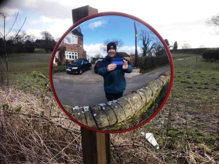
Route description & photos This is a concatenation of Lockdown walks 4 and 5. See those walks for alternatives that split this longer circuit into two shorter routes.
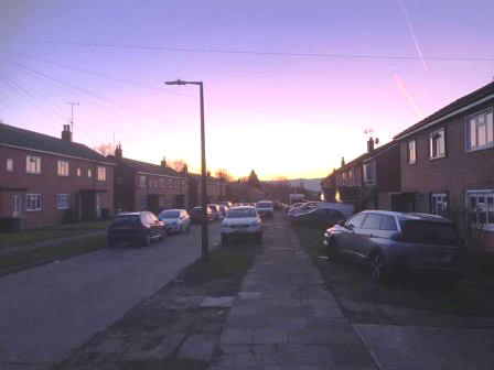
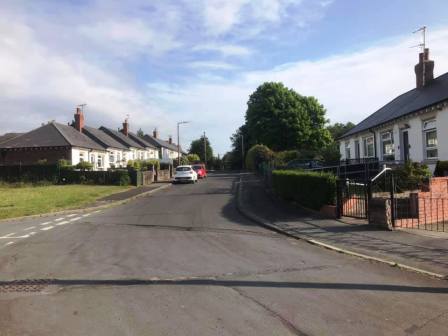
Start anywhere on Merebrook Road (SK11 8RH). Limited on-street parking available. Walk to the top end of Merebrook Road and over onto Colville Road. Cross Chester Road onto Maxfield Close and walk to the end (behind St Luke's Church).
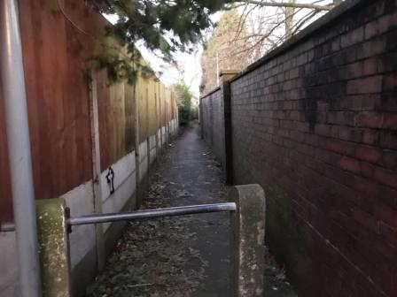
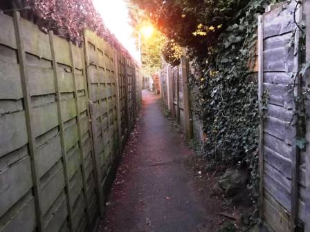
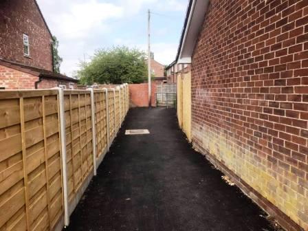
Turn left into a long narrow ginnel, following this out onto Dalesford Crescent. Bear right to walk towards Fallibroome Road, then right again, and left into Fallibroome Close. Enter another ginnel to walk through to Camborne Avenue on the Greenside Estate. At the end, turn left, then right and right again up a few steps. Turn left to follow a long greenway running between the backs of two rows of residential houses.
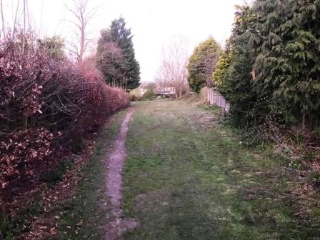
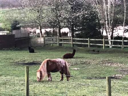
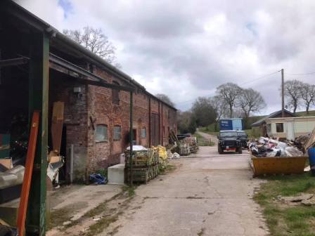
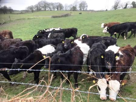
Continue straight on through more narrow ginnels, eventually emerging onto Newquay Drive. Continue onto Whirley Road, turning right to walk past a small farm on your left. Turn left through a kissing gate to walk along a straight footpath across the common land at Longmoss. Continue onto the path between two barbed wire fences. Turn right at the end and follow the path around a few corners onto a track.
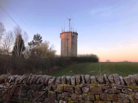
Continue on the track, looking out for a few steps on the right, leading to a narrow path up to Longmoss Top.
At the end of the path, turn left into Whirley Road, and follow down to Whirley Hall.
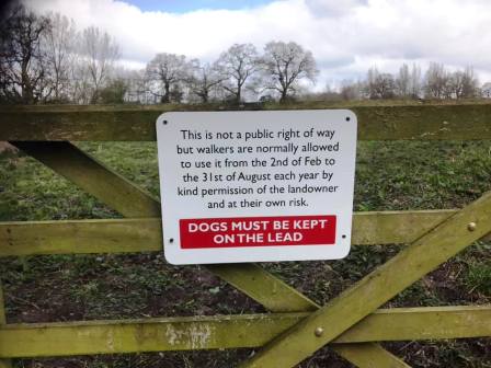
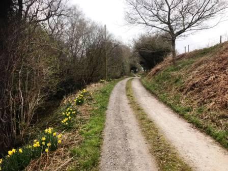
Continue on the road until turning left onto a permissive path through Rough Heys Farm. Note that this path is only available from 2nd February to 31st August, so outside of these dates, you should instead walk south down Andertons Lane from Whirley to Henbury.
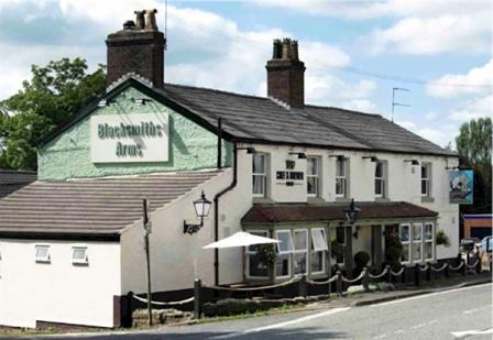
Exit the permissive path, turning left onto Dark Lane. Walk to the end of Dark Lane where it joins Church Lane, then turn right down Pepper Street. The Blacksmiths Arms at Henbury is a good option for lunch at this point of the walk. Have two courses and a beer - you'll have plenty of opportunity to walk it off afterwards!
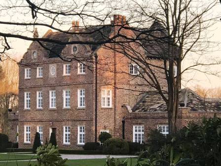
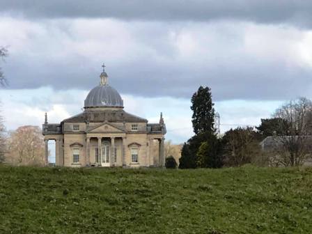
Continue over the crossroads onto School Lane which you follow down past Henbury Hall (visible on your right) before eventually turning left into Bearhurst Lane. Follow this around to a crossroads at Pexhill Road, which you go straight over into Dark Lane.
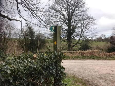
Walk down Dark Lane, until a bridge stile is seen on the left. Use this to enter the field and begin to climb up to Underbank Farm.
After passing through the farmyard, this becomes a metalled road which runs parallel to Gawsworth Road and Pexhill Road, dissecting the two.
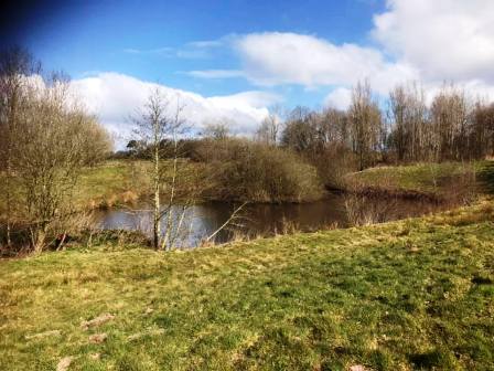
Near to this road's end, it meets New Farm at a sharp bend. Continue onto the path into New Farm and bear right towards the trees.
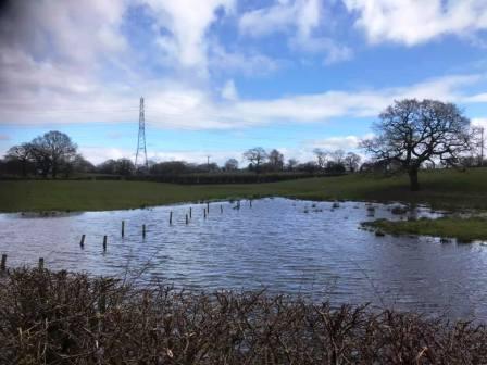
After passing a pond on your right, continue to follow the path on the right hand side of the field. Avoid the temptation to follow the path dropping to the left as any lost height will have to be soon regained. The line of the PROW heads towards another kissing gate in the right-hand corner of the field ahead, but the trodden path on the ground begins to veer left. At this point, trust the path on the ground. This heads through an open gateway into the next field on solid ground, whereas the area just beyond the kissing gate is so boggy as to be usually waterlogged!
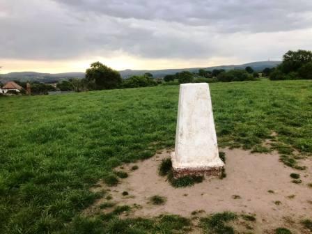
The path on the ground starts to veer right to contour around the side of the small hill, but continue straight up to the summit to take in the only trig point on the route. This is TP5093, nicknamed mischievously as "Great Weston Fell"! Head down to the kissing gate to exit onto Gawsworth Road.
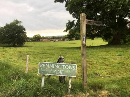
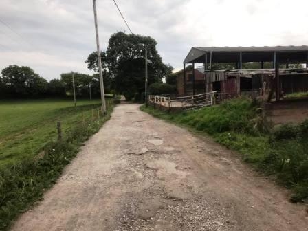
Continue almost directly over the road into Penningtons Lane, which is a rough farm track at this end, and not recommended for driving! Follow the lane past the farm buildings on the right, then Little Bailey Riddings Farm on the left, and around several sharp bends until it returns you into a residential area on the south of Macclesfield.
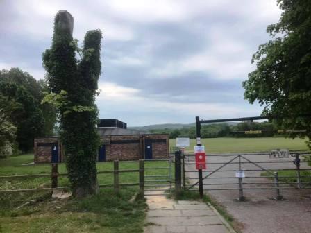
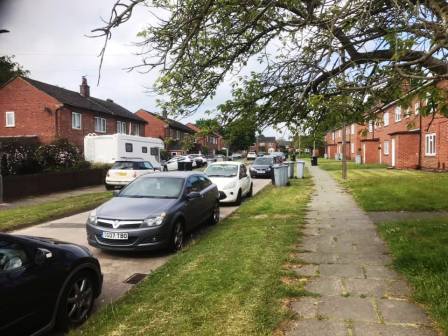
Turn right into Hillcrest Road, following it to the hairpin bend back into Surrey Road. Turn right into Moss View Road leading to Congleton Road A537. Cross over the main Macclesfield-to-Congleton road and enter the playing fields at Danes Moss.
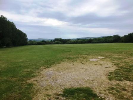
Go past the changing room and shower block and continue along the left edge of the field to a gap in the bottom corner. Pass through this into a wide expanse of common land. Take either the path to the left or to the right; they rejoin each other at the eastern end of the area as you enter the woods.
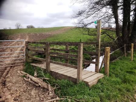
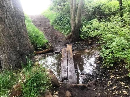
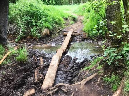
A couple of rudimentary plank crossings enable you to get past some watery/boggy patches without wet or dirty feet, so long as you have a reasonably steady balance! Turn left onto a more substantial and very straight path. This takes you all the way to Moss Lane, which you follow for a very short distance before turning left into Stamford Road.
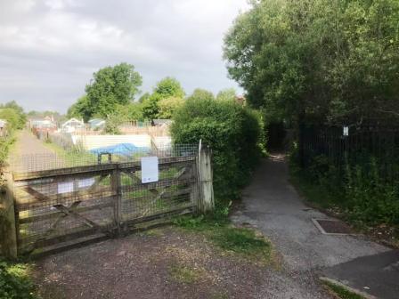
Follow Stamford Road to a sharp corner bend. At this point, turn left into the public footpath through the Moss Lane allotments. There are many allotments here, and usually quite a few people out tending to them.
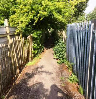
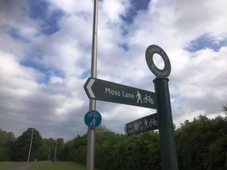
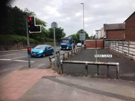
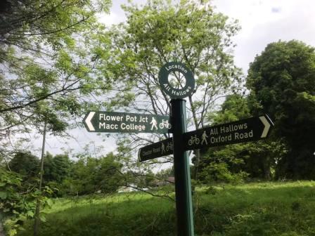
Ignore a couple of right turns off the path, keeping straight on between the allotments. The path emerges onto the southern end of the Flower Pot Greenway. Bear right to follow the greenway route up to Park Lane, near the Flower Pot junction.
From this point, the official route of the Flower Pot Greenway goes up Ivy Lane before turning right into Sycamore Crescent. However, this is not a particularly satisfying option following estate roads in a residential area. For a much better route with longer sections of non-roadside footpaths, follow the main Oxford Road for a couple of minutes, before turning left into Brooklands Avenue.
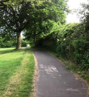
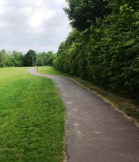
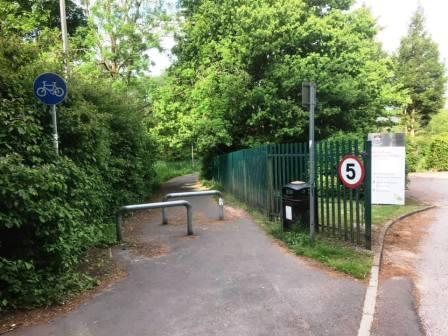
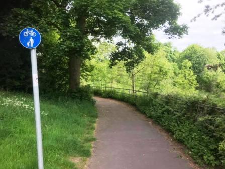
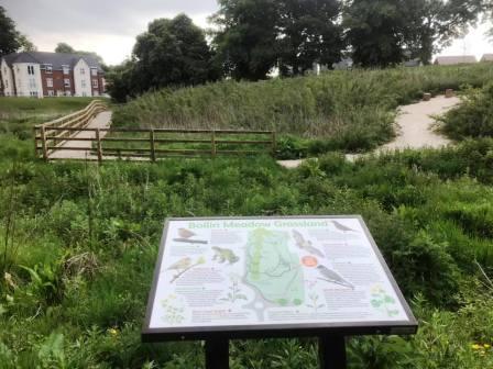
At the top of Brookland Avenue, head into the footpath/cyclepath to the left of the entrance to All Hallows School. This follows around the back of the school boundary until it rejoins the official route of the Flower Pot Greenway just ahead of the Bollin Meadow Grassland.
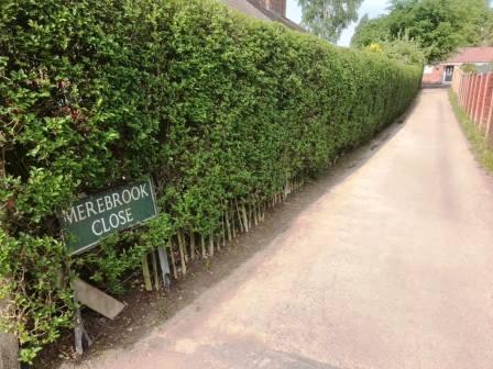
The greenway ends at Chester Road, onto which you turn left to follow up to the junction with Ivy Road. Turn left here, and soon after, right into Merebrook Close (which is easily missed!).
Turn left at the top of Merebrook Close to follow the ginnel through to Merebrook Road, at which point the circular route is complete.
|
|
|