.jpg)

|
|
|
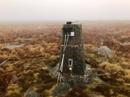
Ward's Stone, G/SP-003 - 561m ASL - SD 592 587 - OS Explorer OL41 - 2 SOTA points
Sunday 13th February 2022
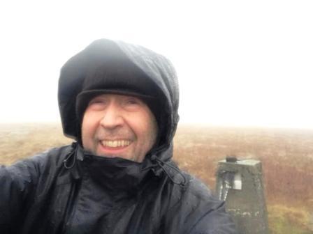
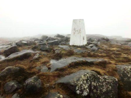
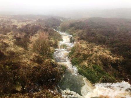
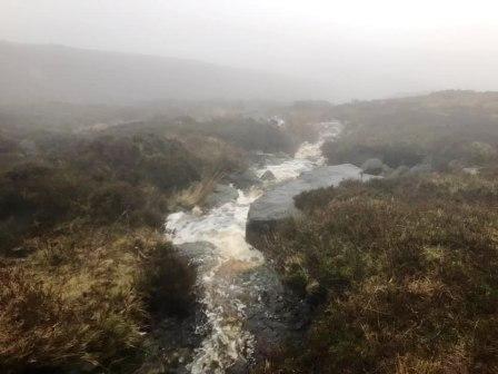
Waterproofs worked. Never emerged from 6 hours hiking in constant heavy rain so dry! Stupidly I went to the 561m trig on Ward’s Stone first. Just one contact from there. Remembered that the other trig (560m) has a much better VHF take-off so walked the kilometre or so over to there and got the other three contacts. Cancelled the 3rd summit - but forgot to delete the waypoint in the satnav, so wasted some time following country lanes around to the foot of Fair Snape Fell - doh! I’m getting more and more confident of qualifying activations on most G and GW summits on just a 2m handheld and rubber duck. Quick, easy - and minimises “ranger danger” too.
Heavy rain continued through the day. My new waterproofs held firm! Much longer walk than I remembered it to be - but maybe because the first time I’ve done it in winter - or maybe I’m just getting old!
|
|
|