.jpg)

|
|
|
Yr Eifl, GW/NW-075 - 564m ASL - SH 364 447 - OS Explorer 253 & 254 - 2 SOTA
points
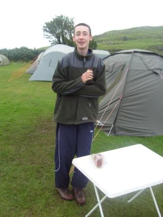
Liam was chuntering a bit that he was hoping this was a seaside holiday, but
was turning out to be a SOTA holiday. Fair comment I thought, so Bank Holiday
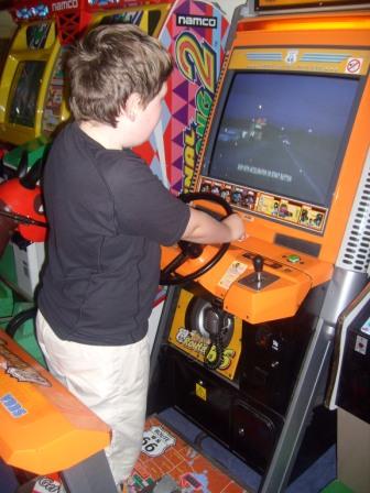
Monday morning, 25th August 2008, saw us drive down to Pwllheli where he was
given a tub of 2ps and a few 50ps in the arcade, then a ride in the dodgems. Job
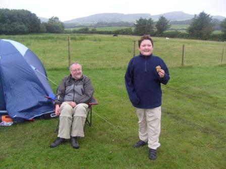
done; it certainly wasn't beach weather! Back at the campsite, mid-afternoon, Jimmy and I began to plot a teatime
activation of Yr Eifl. We had been admiring the summit over the past two days,
but today its peak was well above the cloudbase. "No point in me coming if
there's to be no view" said my intrepid brother-in-law Campbell. Calum wanted to try out
his new wetsuit, and Liam didn't want to go "summit walking". Campbell invited
Liam to go with him and Calum down to Nefyn, while Jimmy and I did the
activation. Convenient, and a welcome opportunity for Jimmy and I to bag a rapid
ascent and slick activation all in time for tea. Ha! Our trousers were soon wet again. It wasn't raining, but in the clag, the long
grass and abundant heather were drenched. The moisture was transferred
effortlessly to our clothes. We continued to angle left and uphill, and soon met
the stony path we should have been on. Now it was a straightforward march to the
summit, and we bedded down in the down hollowed shelter. Now we set off on our descent. We followed the stony track back down off the
summit and looked forward to our imminent liaison with the car. Except that the
path bended around the wrong way, there were some boulder fields we didn't
recall, and the lie of the land was wrong! We reached a broad shoulder and it
started going uphill again! One option remained. Reluctantly, Jimmy and I agreed to turn back, and return to
the summit of Yr Eifl, and start over. This was hard work, with some difficult
energy-sapping terrain and some steep sections. We had to regain all our lost
height, which was quite considerable.
Adrenalin powered us to the summit, and the sight of the trig point was welcome
in a way. A few steps to the side of the path we had taken was another. "Ah,
here we are" I said. And off down that path we went. This time, it only took us
five minutes or so to realise we were heading the very same wrong way again!
Back to the summit again! Our little scrape had cost us 90 minutes overall. But in a funny sort of way, it
was quite stimulating too, realising that we were in that little scrape, but
confident in our own ability and determination to get ourselves out of it.
The first job upon reaching the campsite was to apologise to my brother-in-law
for the unbooked overtime on his babysitting, quickly followed by firing up the
stove and cracking a can.
|
|
|

.JPG)
.JPG)
.JPG)
.JPG)
.JPG)
.JPG)
.JPG)
.JPG)
.JPG)