.jpg)

|
|
|
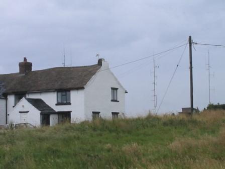
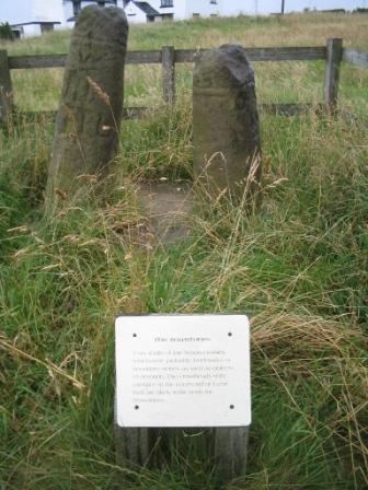
After our long summer of winter weather, we had hoped for the 'law of averages' to kick in for our Gritstone Trail walk, affording us a three day window of pleasant weather and a real antidote to the "summer" so far. Hence we were more than a little concerned at the cold wind and rain hitting us so early into the campaign, when even the weather forecast had given a fine day. Thankfully, it soon became clear that any showers were going to be short-lived, and this one, like the last, was soon finished with and the skies clearing once again. Bowstonesgate was familiar to Jimmy and I for we used to drive up the long tarmac lane here to the top which is a useful mobile DXing spot, in addition to past walks together and it being part of a route used on a hike Jimmy did with school once. It is also the site of the GB3MN (2m) and GB3MR (70cm) amateur radio repeaters as well as other telecommunications masts. Before moving away southwards along the ridge towards Sponds Hill, we diverted briefly to get a photograph of the Bow Stones themselves, thought to have marked the boundary of an ancient kingdom.
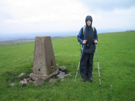
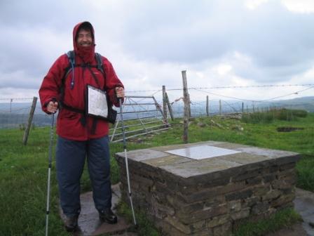
The walking along the track on the crest of ridge was a real tonic. At last, we were away from urban civilisation, the feel of which extends into Lyme Park with its "family day out" marketing approach. Yes, we were back to wild remote upland walking as enjoyed on the Pennine Way last year. Not as wild or remote, or indeed 'up' as the Pennine Way of course, but certainly a return to the sense of being away from it all in the countryside. The triangulation column at the summit of Sponds Hill required another mini-diversion, fifty yards or so to the right of the path, although the viewfinder point further down the path is at the same height according to Ordnance Survey. Whatever, it was the summit, the highest point of the whole Gritstone Trail - and attained by early afternoon on the first day! It would be all downhill from here...?
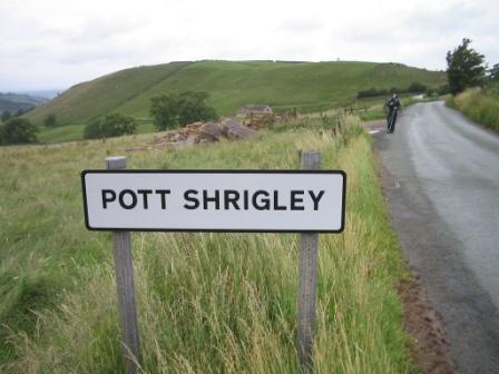
Turning onto the Bakestonedale Road towards Pott Shrigley was a little weird, for we had been driven along that same road just a few hours earlier. If there was one disappointing aspect of the Gritstone Trail, it was that all the places along it were already well known to us, and that our home town of Macclesfield was visible from the trail for most of the three days. The previous year on the Pennine Way was quite the opposite. The trail signs directed us left, southwards, towards an old quarry, and downhill towards Bollington.
|
|
|