|
Tuesday 8th August 2006 - Alston to Greenhead - 18
miles

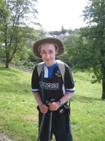
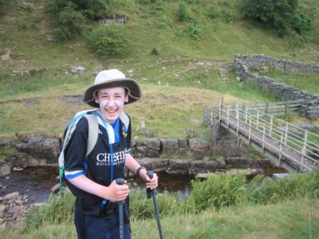
Alston to Greenhead need only be a 16 mile walk, but Jimmy and I both agreed
that we did not want to miss out any of the Pennine Way, but that we didn't want
to be walking a kilometre west along a main road from Greenhead tomorrow morning
to rejoin the path. We agreed a route that would take us beyond the A69
and around to the north of Greenhead, leaving a more pleasant connecting walk
along a public footpath, and in generally the right direction for tomorrow.
After another 'healthy option' breakfast at the hostel, we collected our packed
lunches and set off. There was no need to make any kind of connecting walk
to the Pennine Way this morning; it ran right past the youth hostel front door.
Soon we were turning left and crossing the large arched road bridge over the
River South Tyne. Then it was another section of riverside meadow walking
very similar to yesterday.
Two walkers came from behind us and soon caught up; like everyone else we met,
they preferred a faster pace to their walking. This was Derek and Emma
from London, although Derek was originally from Scotland, as identifiable by his
unmistakable accent. I immediately had to ask if they were walking the
Pennine Way, and indeed they were. They had set off a few days later than
us and were aiming to complete in 14 days, hence their punishing pace.
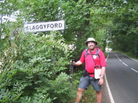
Our route today mainly weaved around the Northumberland farms, and was fairly
featureless. The Pennine Way couldn't seem to decide which side of the
A689 it wanted to be on, and we were with that road many times, both before and
after the village of Slaggyford. The Pennine Way North National Trail
Guide had billed today's section as a disappointment. In terms of
features, views and points of interest, that was probably true, but the going
was easy and we were feeling fitter and stronger than ever. Plus we were
now full of confidence that we were going to complete our big ambition.
Onwards we pressed.
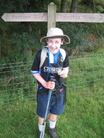
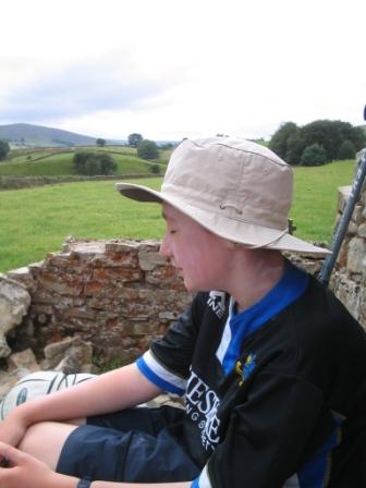
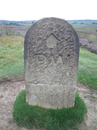
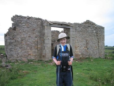
One of the ruined old farm buildings at Merry Knowe seemed to provide an ideal
spot for some lunch. We decided to have an extended lunch break, eating
all items in our packed lunches. I used the broadcast receiver facility in
my Yaesu VX-7R handheld amateur radio transceiver to tune into BBC Radio 5 Live,
and we rested for nearly an hour, enjoying a leisurely lunch in the sun.
As we set off again for the afternoon's walk, the sun began to beat down
ferociously, and the signs inviting us to the pub near Knarsdale caused serious
temptation. The was still a considerable distance to cover to Greenhead
though, so we made a reluctant but sensible decision to keep the legs moving.
There was still not much to see along these long straight stretches of the
trail. Four parallel stripes on the map were represented as four parallel
stripes in our view as the Pennine Way, the A689 road, the South Tyne Trail
footpath that follows a disused railway line and the River South Tyne itself all
progressed consistently north. We walked along with our focus on
objectives every approximately two kilometres. First it was the A689 at Burnstones, then the A689 bend at Glendue Burn. The next thrilling episode
to target was the A689 west of Lambley, following which we were finally free of
the bloody A689 and wandering uphill on some desperately needed more varied
terrain.
The time now passed more quickly, as did the distance we were covering.
The route became very ambiguous between Greenriggs and Wain Rigg, and the map
and compass were used in anger for the first time in days. We passed to
the right of the trig point on Wain Rigg, not bothering to pose for photographs
by it, and looked ahead as the view opened up for the first time in miles and
miles.
The Pennine Way turned sharp right along a farm track then into a field full of
cows and calves. We took care to take a considerate line through the cows
so as not to disturb or concern them, but suddenly one of them went very edgy.
She gestured towards us defensively and tried to stand in front of her young
calf. Suddenly, there was a full stampede on, with scores of cows and
calves running around in confusion. We were trapped in the middle as they
circled us, but fortunately their charge soon broke away from us.
Nonetheless, we were anxious not to disturb them further, and we were relieved
when our left turning out of the pasture appeared - or so we thought. We
ambled gratefully down the walled track, but soon realised we had turned off too
early. We thought it would be better to continue and cut across to the
Pennine Way from where we were, as opposed to return to the field and risk
upsetting our bovine friends again. We followed a drain across the field
to the Pennine Way, and it was soon clear that others had also made this
mistake, and a large array of fences, gates, barbed wire and spikes and been
assembled in the drain to prevent people passing through. Perhaps this
should have been our hint to turn back, but we decided to try and climb over the
obstacle. After several false starts, I managed to get myself atop the
shaky six feet high construction of gates and barbed wire. Carefully, I
got my legs over the top, and with difficulty managed to rotate my feet in order
to allow me to climb down the other side. Then I got stuck about halfway
down, and the only way to complete the descent seemed to be to jump down the
remaining three feet. I launched myself off and landed on the ground,
missing by centimetres a four foot metal spike sticking vertically out of the
ground. I hadn't even seen it, and realised I had come horribly close to
impaling myself upon it! I tried to recover my composure as I talked Jimmy
over the fence and down. We were pleased to be back on the Pennine Way,
without cows, fences or spikes!
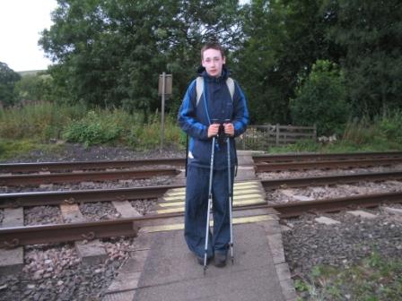
We reached the A69 from where the town of Greenhead, and its youth hostel lay
just a kilometre or so to the right down the trunk road. Just enough time
was still available to stick to 'Plan A' , so we crossed the road and continued
on the Pennine Way path northwards over more fields. The first evidence of
the Roman history of this area was the gently sloping 'Vallum' at the edge of
Haltwhistle Golf Course. It would have been much higher and more dramatic
in Roman times of course. Much more visible clues of times gone by would
be encountered over the next two days. Once we walked across the railway
lines, we were to turn right (south) away from the Pennine Way for the short
easy stroll to Greenhead.
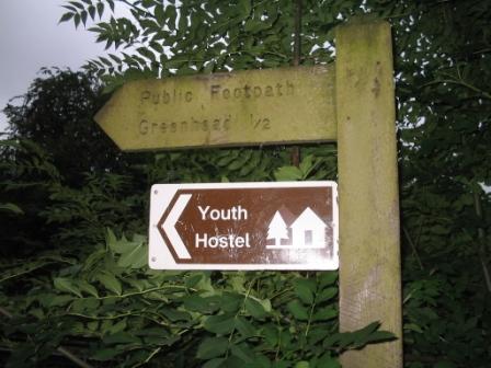
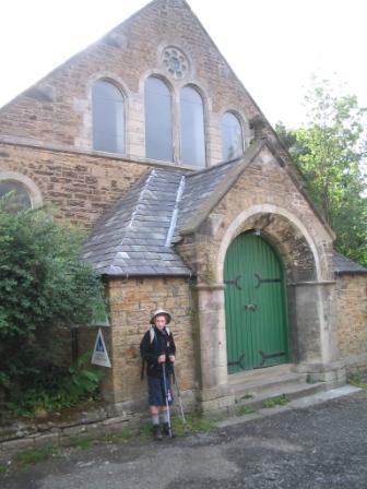
Greenhead Youth Hostel was accommodated inside an old methodist church. It
is soon yet another hostel done away with in the sweeping and
brutal round of 2006 closures. However, it was then apparently bought by
the Greenhead Hotel and reopened under the YHA Enterprise Scheme. The staff were extremely attentive, and
served up an excellent meal of lentil soup, Northumbrian Sausage with rustic
mash and red wine gravy and sticky toffee pudding. We dined with a Belgian
couple who were doing the Hadrian's Wall Path long distance trail. The
church building meant that no beer could be on sale in the hostel. Jimmy
and I made our beds up and showered before wandering out to see what pubs there
were in Greenhead.
Right across the road from the hostel was the Greenhead Hotel. There were
no hand-pulled real ales, but I had learned my lesson from the keg bitter in
Alston. I had a couple of pints of Kronenburg 1664 continental premium
lager! We sat with Derek and Emma, who happened to be spending the evening
in the hotel bar, and I think they were indeed staying there. They signed
the Wainwright book, and we exchanged email addresses and wished each other well
for the remainder of the walk. They were walking all the way to Bellingham
tomorrow, while we were only going to Steel Rigg, so yet another pair of Pennine
Way walkers had crept up on us from behind and overtaken us at greater pace!
Having completed 18 miles today courtesy of our "extra" bit 'borrowed' from
tomorrow's leg, I was tired, and the bunk bed seemed even more welcoming and
cosy than usual. |
