.jpg)

|
|
|
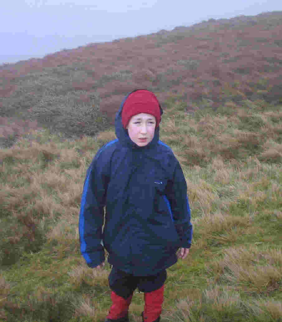
This summit was activated by myself, accompanied by Jimmy
on Saturday 4th December 2004.
This summit always appeared in my road atlas to be within "striking
distance". It wasn't - it was 85 miles away. No problem, that's still as
short a run as I get to a SOTA summit this end of the year. Everyone talks
about going up from the south, by the waterfall and Llyn Lluncaws, and the
vertigo-inducing sheer edge by one's walking boots, with the rumour of
beginnings of a more "inland" track. It was refreshing to be doing a long horizontal (almost) walk for SOTA as
opposed to a short steep one! The first third of the walk was made very
easy by the provision of meshed boardwalks, before the squidgy boggy paths
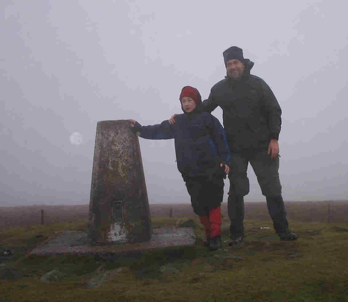
became dominant. After about two hours, we reached the summit of Moel Sych
827m ASL. We continued straight up to Cadair Berwyn, and it's large stone
shelter. Out of it we could see a SOTA pole sticking out, and then a
SOTA
Beam. We investigated further, and it was none other than Shirley MC0RCH /
MW0YLS with students Sam 2W0UPT and Sam 2W0IBA. With this, we decided to
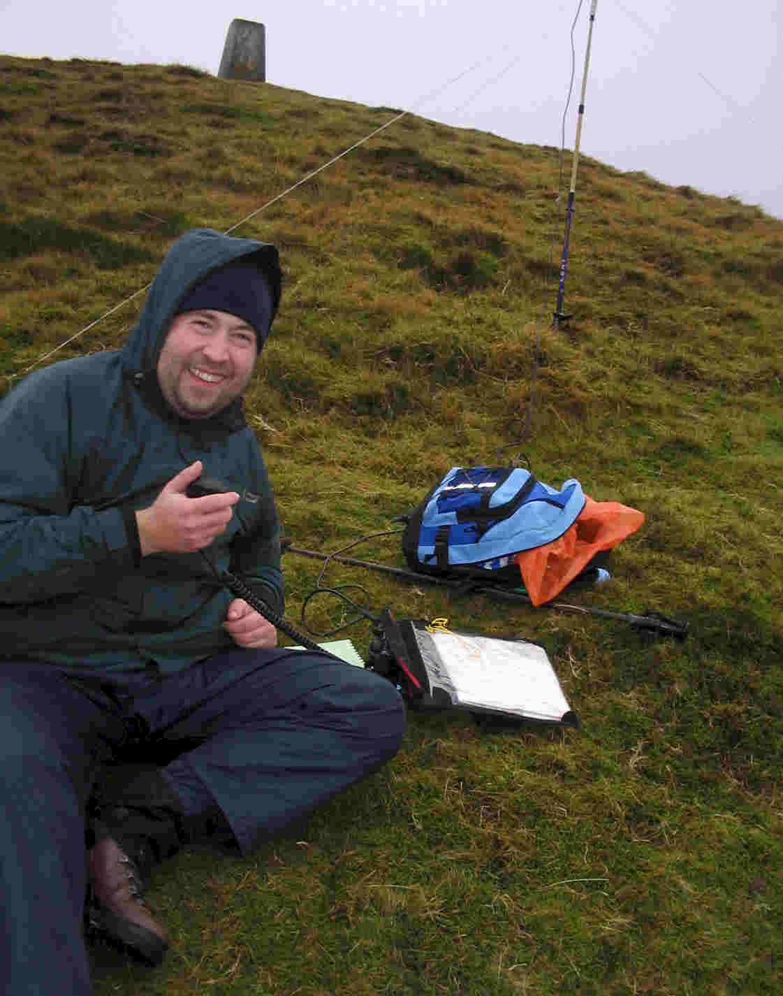
use the trig point at 827m ASL a little further north, and within the
activation area, as our operating position. I worked 17 stations, all on 2m
FM, including summit-to-summit with Keith GW0OXV/P on Cyrn-y-Brain
GW/NW-043, Ian G7ADF/P on Shining Tor G/SP-004 and Roger MW0IDX/P on Moel
Ysgyfarnogod GW/NW-038. The weather turned quite hostile - wet, cold and windy - as we were packing
up about 2.00pm, and we headed just back across to the shelter on the true
summit (now vacated by Shirley and the lads) so we could get a little
respite while putting our gloves on and. We lost some time on the route
down by mislaying the path and having to stumble back across heather,
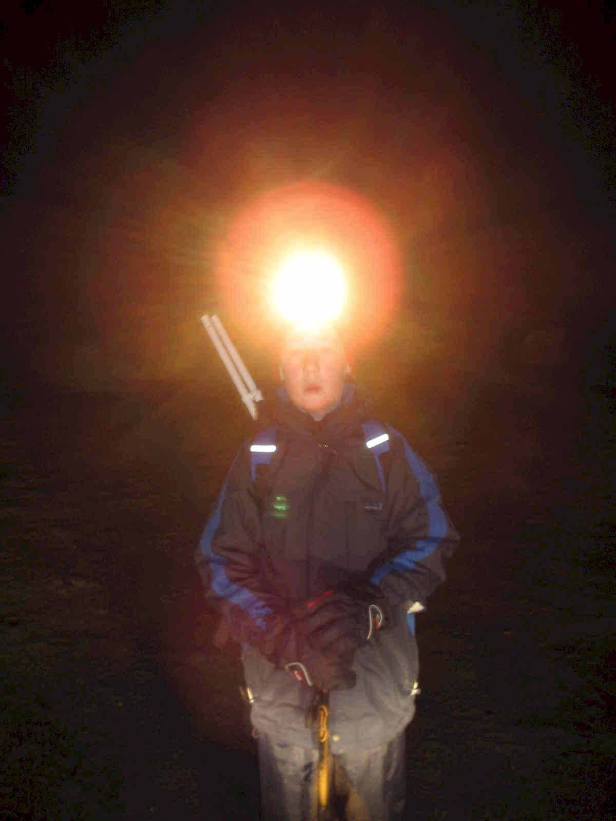
ditches and more bog to find it. Once 4.00pm was reached, and we knew we
still were about one hour away from the car, we stopped for a rest, bite to
eat and a drink, and moreover to retrieve out headtorches from our
rucksacks. 30 minutes later, we flicked the "on" switches and allowed them
to illuminate our final half-hour's walking for the day. We both agreed
that it had been and excellent day's walking.
|
|
|