.jpg)

|
|
|
Periton Hill, G/SC-006 - 297m ASL - SS 946 441 - OS Explorer
OL9 - 1
SOTA point
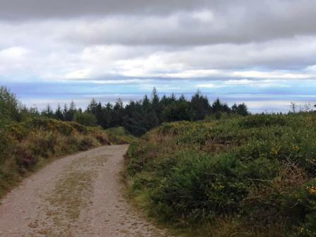
SOTA road trip, Day 5 - Wednesday 5th August 2020 From Wills Neck G/SC-006, I drove west from the Quantock Hills and into the Exmoor National Park. This is one of my favourite SOTA areas, and I always enjoy activating its three SOTA summits. From the southern outskirts of Minehead, I drove up through Higher Hopcott to the large car park on the Macmillan Way.
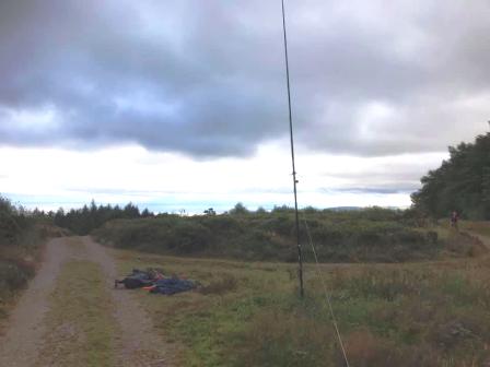
Although this was another short easy walk in the grand scheme of things, again I was at the back end of another long day of summits and driving, and so starting to feel really tired. i consoled myself with the thought that I would again sleep well in my backpacking tent later that night! Again, I utilised the activation zone rule to allow myself not to progress all the way to the true summit. Instead, I set up at the junction of paths at the 291m spot height, less than a flat kilometre from the true summit, and just 7m lower in altitude.
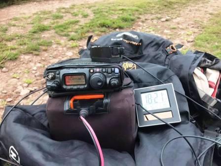
This time I was only able to muster one single QSO on 17m. This was on CW with the ever-reliable Jan OK2PDT. As I began to consider completing the activation on FT8, my speculative calls on the 2m FM handheld produced the three more QSOs I required. So I happily packed up and descended. Next stop - Dunkery Beacon G/SC-001.
|
|
|